The best walks and hikes around Linda
4.6
(3180)
10,464
hikers
14
hikes
Hiking trails around Linda traverse a landscape characterized by numerous ponds and forested areas, offering a mix of easy paths and more challenging routes. The terrain generally features gentle undulations with modest elevation changes, making it accessible for various hiking abilities. The region's natural features include interconnected water bodies and woodlands, providing diverse scenery for outdoor activities.
Best hiking trails around Linda
- The most popular hiking route is Roter Hielteich II – New Pond loop from Linda, a 9.5…
Last updated: July 8, 2026
4.8
(28)
121
hikers
12.3km
03:12
70m
70m
Moderate hike. Good fitness required. Easily-accessible paths. Suitable for all skill levels.
4.8
(17)
74
hikers
24.3km
06:21
180m
180m
Hard hike. Very good fitness required. Easily-accessible paths. Suitable for all skill levels.

Sign up for free
4.7
(7)
10
hikers
7.25km
01:54
50m
50m
Easy hike. Great for any fitness level. Easily-accessible paths. Suitable for all skill levels.
4.5
(2)
15
hikers
9.23km
02:23
50m
50m
Moderate hike. Good fitness required. Easily-accessible paths. Suitable for all skill levels.
5.0
(1)
7
hikers
9.44km
02:29
80m
80m
Moderate hike. Good fitness required. Easily-accessible paths. Suitable for all skill levels.
Get access to more routes and recommendations from other explorers.
Sign up for free
Already have an account?
Our route recommendations are based on thousands of hikes, rides, and runs completed by other people on komoot.
Start today with a free account
Your next adventure awaits.
Login or Signup
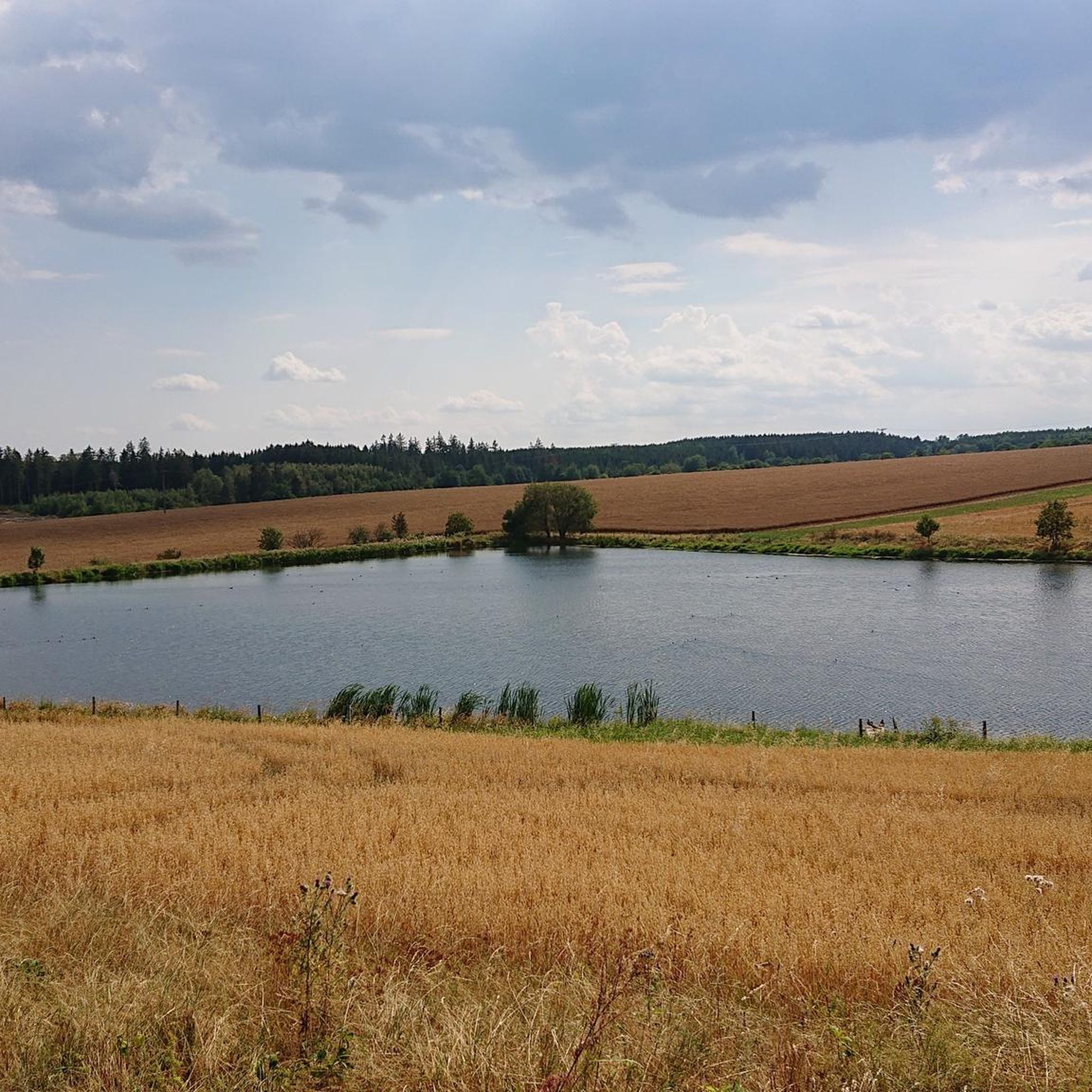
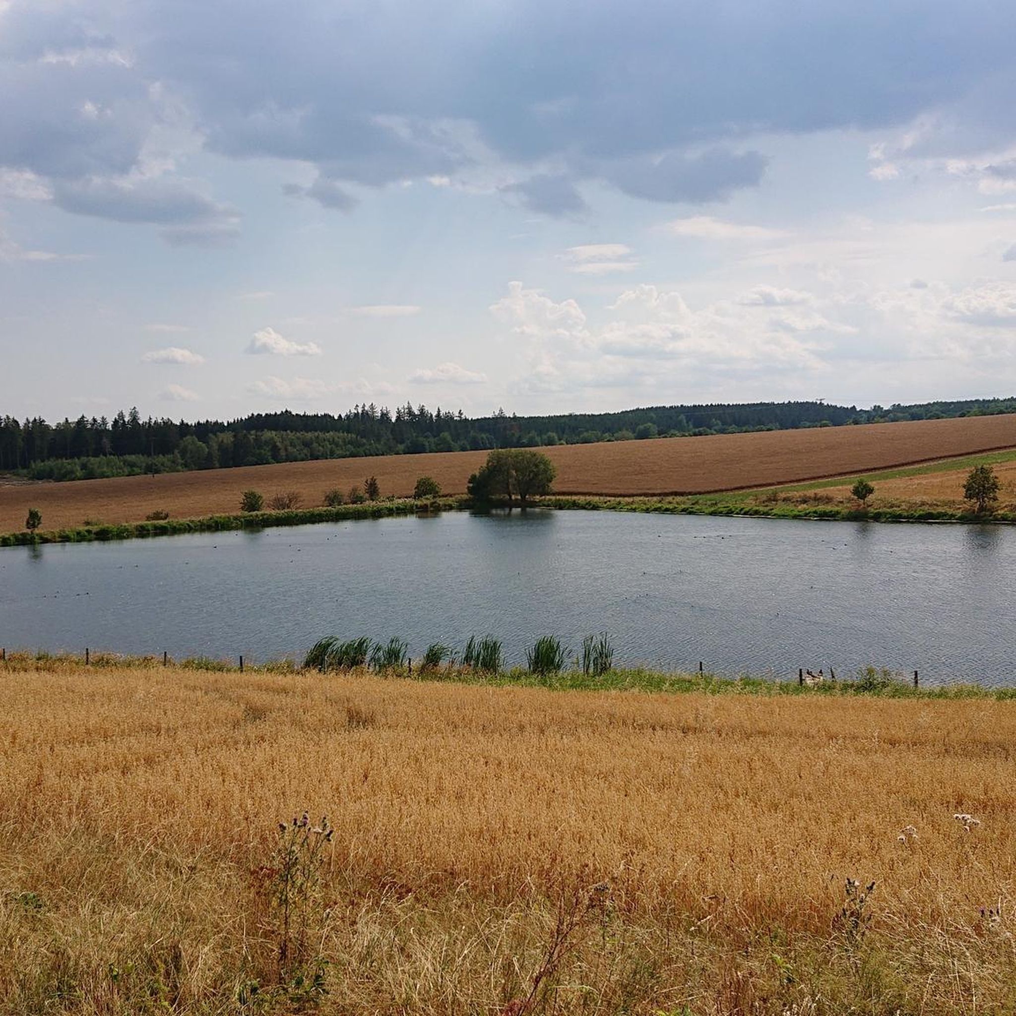
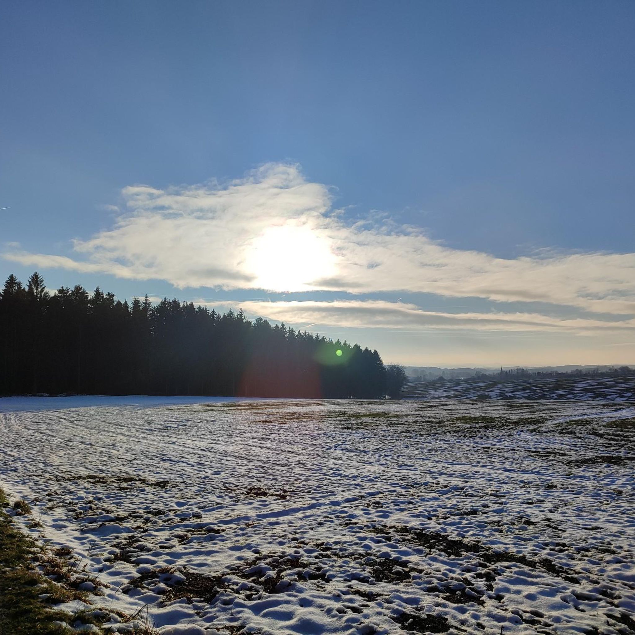
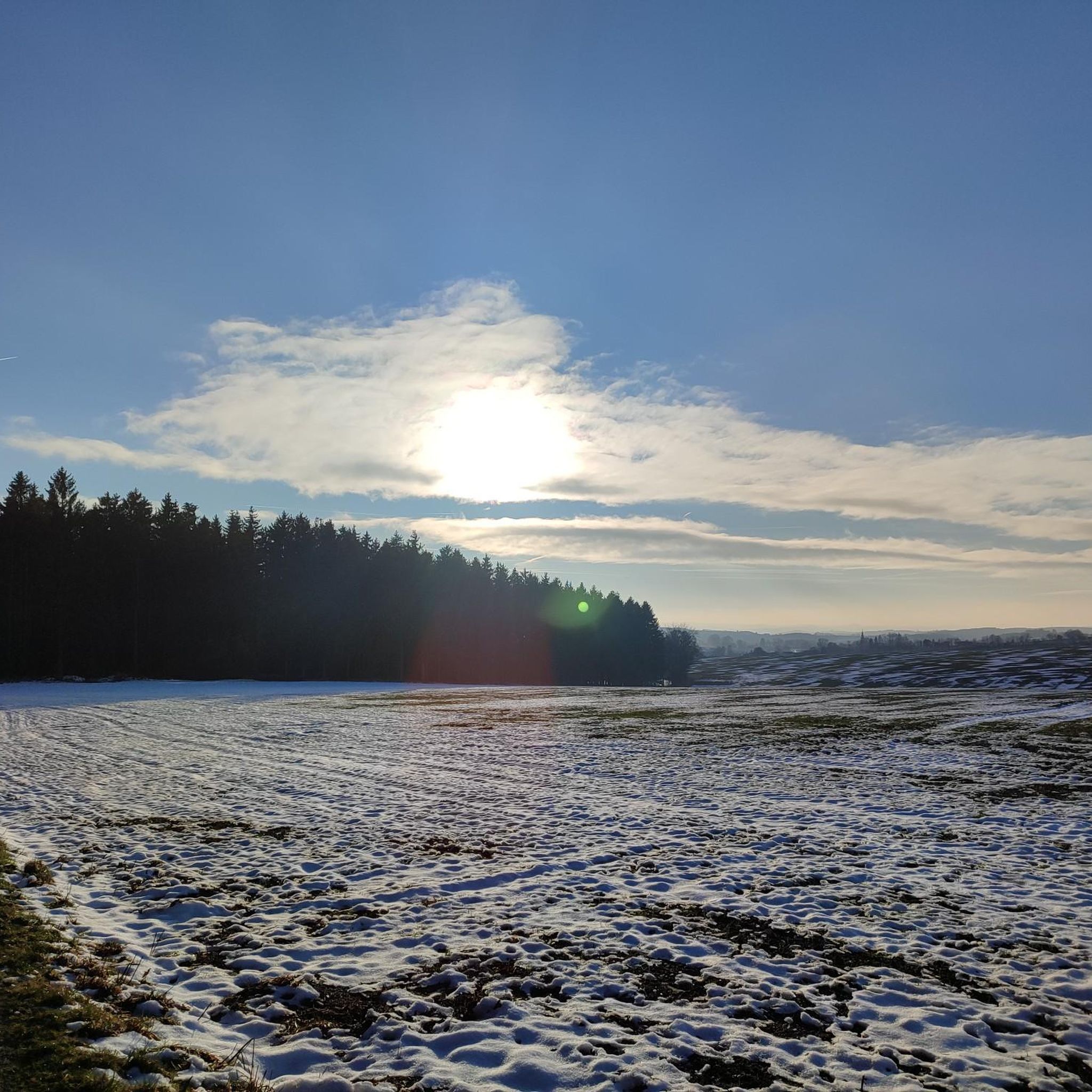

Tips from the Community

The tranquility in nature is indescribable
0
0

Why is the stamp box located here? There are certainly much nicer places on this circular route.
3
1

Stamp location and stamp box
2
0
Nice place..also in autumn for mushrooms
2
0

A beautiful stilt house on the pond in Plothen 🤩.
17
0

Collecting stamps is a bit addictive ;-)
0
0

Frequently Asked Questions
How many hiking trails are available around Linda?
The Linda area offers a diverse selection of 13 hiking routes. These range from easy strolls around the ponds to more challenging, longer excursions through the surrounding forests.
Are there easy hiking options suitable for beginners in Linda?
Yes, Linda has several easy hiking options. There are 7 routes specifically categorized as easy, perfect for beginners or those looking for a relaxed walk. A great example is the Wolche Pond Area – Reinsdorf U-Pond loop from Köthnitz, which is 4.5 miles (7.2 km) long and offers a pleasant walk around water features.
Can I find circular hiking routes in the Linda area?
Many of the hiking trails around Linda are designed as circular routes, allowing you to start and end at the same point. For instance, the popular Roter Hielteich II – New Pond loop from Linda is a 9.5-mile (15.3 km) loop exploring the distinctive pond landscape.
What kind of scenery can I expect while hiking around Linda?
Hiking around Linda is characterized by its numerous interconnected ponds and extensive forested areas. You'll experience a landscape of water bodies, woodlands, and gentle undulations, providing diverse and tranquil scenery. The region is particularly known for its pond systems, such as the famous Plothen Ponds.
Are there any interesting landmarks or natural sights to see along the trails?
Absolutely. The Linda area is rich in natural sights, especially its unique pond landscape. You can explore the expansive Plothen Ponds, walk parts of the 1000 Ponds Circular Trail, or visit the Stilt House on Hausteich. The Großer Ruß Pond is another notable natural monument.
What do other hikers say about the trails in Linda?
The hiking trails in Linda are highly regarded by the komoot community, holding an impressive average rating of 4.6 stars from over 2,400 reviews. Hikers frequently praise the peaceful pond landscapes and the well-maintained paths suitable for various skill levels.
Are the hiking trails around Linda suitable for families with children?
Yes, many trails in Linda are suitable for families. The region offers 7 easy routes with modest elevation changes, making them accessible for children. The pleasant walks around the ponds provide engaging scenery for younger hikers.
Are there dog-friendly hiking trails in Linda?
While specific restrictions may vary by individual trail or protected area, generally, the natural environment of Linda's ponds and forests is welcoming for dogs. It's always recommended to keep dogs on a leash, especially near wildlife or other hikers, and to carry waste bags.
What is the best time of year to go hiking in Linda?
The best time to hike in Linda is typically during spring, summer, and early autumn. These seasons offer pleasant temperatures, lush greenery, and vibrant pond ecosystems. Spring brings blooming flora, while autumn showcases beautiful fall foliage around the woodlands.
Are there any longer, more challenging hikes for experienced hikers?
Yes, for experienced hikers seeking a greater challenge, Linda offers 2 difficult routes. One such option is the Roter Hielteich II – Plothen Ponds loop from Linda, a substantial 15.1-mile (24.3 km) trail that leads through an extensive network of ponds and forests, taking approximately 6 hours and 20 minutes to complete.
Where can I find parking for hiking trails in Linda?
Parking availability varies by trailhead. Many popular starting points for trails around Linda, especially near larger ponds or villages, often have designated parking areas. It's advisable to check specific route descriptions on komoot for details on parking at the trailhead you plan to use.
Is it possible to reach hiking trails in Linda using public transport?
While specific public transport connections directly to every trailhead might be limited in this rural area, some villages near the hiking routes may be accessible by local bus services. Planning your route in advance and checking local transport schedules is recommended if you intend to use public transport.
What should I wear for hiking in Linda?
Given the varied terrain of ponds and forests, we recommend wearing comfortable, layered clothing suitable for the season. Sturdy, waterproof hiking boots are advisable, especially as trails can be damp or muddy near water bodies. Don't forget sun protection and insect repellent.
Most popular attractions around Linda

Get inspired with the komoot mobile app


Explore more
Browse the best Hikes in other regions.
