The best hikes from bus stations around Wigglesworth
4.5
(2159)
15,939
hikers
7
hikes
Bus station hiking trails around Wigglesworth offer access to a diverse landscape situated between the Forest of Bowland AONB and the Yorkshire Dales. The region is characterized by distinctive limestone formations, including crags and pavements, alongside tranquil reservoir shorelines and varied terrain. Hikers can explore areas featuring rugged crags and picturesque valleys.
Best bus station hiking trails around Wigglesworth
- The most popular bus station hiking route is Stocks Reservoir Shoreline – St James' Church, Dalehead loop from Tosside, a…
Last updated: November 6, 2026
5.0
(1)
8
hikers
5.86km
01:32
40m
50m
Easy hike. Easily walkable paths.
3.0
(1)
6
hikers
12.2km
03:12
100m
100m
Moderate hike. Good fitness required. Easily walkable paths.

3.5
(2)
10
hikers
9.42km
02:32
120m
120m
Moderate hike. Good fitness required. Easily walkable paths.
2
hikers
7.40km
02:00
100m
100m
Moderate hike. Good fitness required. Easily walkable paths.
3
hikers
12.5km
03:20
140m
140m
Moderate hike. Good fitness required. Easily walkable paths.
Get access to more routes and recommendations from other explorers.
Already have an account?
Our route recommendations are based on thousands of hikes, rides, and runs completed by other people on komoot.
Start today with a free account
Your next adventure awaits.
Tips from the Community

Hey guys, has it ever happened to you that an ad caught your attention more because of its weirdness than what it actually offers? That happened to me with a banner for online slots. There were so many colors that for a moment I didn't know where to look. Out of curiosity, I started looking for information about the different types of slots available in the Czech Republic and ended up on https://vegas-hero.cz. In the offer, I spotted Chicken Road 2 and a few other games that I didn't know at all. I was mainly interested in why some games have completely different principles than classic reel slots. At least now I understand why not everything is thrown into one bag.
0
0

perfect place for quick break/drink water before climbing to the hope line
0
0

exit or entrance to some off piste, rooty and loamy, but fast flow in section's
0
0

Holden Moor (Whelp Stone Crag) 371m P67 (1217ft) (DoBIH Hill ID: 16586) [JNSA 10841] County of Yorkshire Definitive List summit Forest of Bowland National Landscape Definitive List summit County of Yorkshire Trig Pillar
0
0


Whelp Stone Crag is the highest point of Gisburn Forest in the Forest of Bowland. Although care must be taken, especially in wet conditions, the views across the Ribble Valley are amazing on a clear day and well worth the climb.
2
0
Frequently Asked Questions
How many bus-accessible hiking trails are available around Wigglesworth?
There are 8 hiking routes around Wigglesworth that start directly from bus stations, making it easy to explore the area without a car. These range from easy strolls to more moderate treks.
Are there any easy or beginner-friendly bus station hikes in Wigglesworth?
Yes, Wigglesworth offers several easy routes perfect for beginners or those looking for a relaxed walk. An excellent option is the Bird Watching Cabin – Wigglesworth Village loop from Wigglesworth, which is just under 6 km long with minimal elevation gain.
What kind of natural attractions can I expect to see on these bus station hikes?
The region around Wigglesworth is rich in natural beauty. You can encounter dramatic limestone formations, tranquil reservoir shorelines, and picturesque landscapes. Notable natural monuments in the wider area include the spectacular Malham Cove and the unique Attermire Scar. While not directly on every bus station route, these features define the local geology.
Are there any bus station hikes that feature waterfalls?
While the immediate bus station routes might not lead directly to waterfalls, the Wigglesworth area is known for its natural monuments, including several waterfalls. Catrigg Force Waterfall and Stainforth Force waterfall are popular attractions in the wider region, accessible with a short journey from Wigglesworth.
Are the bus station hiking trails around Wigglesworth suitable for families?
Many of the routes are suitable for families, especially the easier ones. The Bird Watching Cabin – Wigglesworth Village loop is a good example of a shorter, less challenging walk that families can enjoy. Always check the route details for distance and elevation to ensure it matches your family's capabilities.
Can I bring my dog on these bus-accessible hikes?
Generally, the hiking trails around Wigglesworth are dog-friendly. However, it's always advisable to keep dogs on a lead, especially when passing through farmland with livestock or in areas designated for wildlife protection. Please respect local signage and clean up after your pet.
Are there any circular bus station routes available?
Yes, many of the bus station hikes around Wigglesworth are circular, allowing you to start and end at the same public transport stop. Examples include the Stocks Reservoir Shoreline – St James' Church, Dalehead loop from Tosside and the Wigglesworth Village loop from Wigglesworth.
What is the typical length and duration of these bus station hikes?
The bus station hikes vary in length and duration. You can find shorter walks like the Bird Watching Cabin – Wigglesworth Village loop, which is about 5.8 km and takes around 1.5 hours. Longer, moderate routes such as the Whelp Stone Crag Trig Point loop from Tosside cover about 9.4 km and can take over 2.5 hours.
What do other hikers enjoy most about the bus station trails in Wigglesworth?
The area is highly rated by the komoot community, with an average score of 4.5 stars. Reviewers often praise the diverse terrain, from rugged crags to tranquil reservoir shorelines, and the convenience of accessing these beautiful routes directly from public transport stops. The panoramic views, often including Gisburn Forest and distant peaks, are also frequently highlighted.
Are there any bus station hikes that offer scenic viewpoints?
Absolutely. The region is known for its impressive vistas. Routes like the Whelp Stone Crag Trig Point loop from Tosside offer excellent opportunities for panoramic views of the surrounding countryside, including parts of the Yorkshire Dales and the Forest of Bowland.
What is the best time of year to go hiking from Wigglesworth bus stations?
Wigglesworth offers great hiking opportunities year-round. Spring brings blooming wildflowers, while summer provides longer daylight hours and generally warmer weather. Autumn showcases stunning foliage, and even winter can be beautiful with crisp air and potentially snow-dusted landscapes. Always check local weather conditions before heading out, especially in the colder months.
Are there any bus station hikes that pass by a pub or cafe for refreshments?
While specific routes may not directly pass a pub or cafe, many of the trails are located near Wigglesworth Village or Tosside, where you can find local establishments for refreshments. It's a good idea to check the route map and local amenities beforehand to plan for a well-deserved break.
Most popular attractions around Wigglesworth
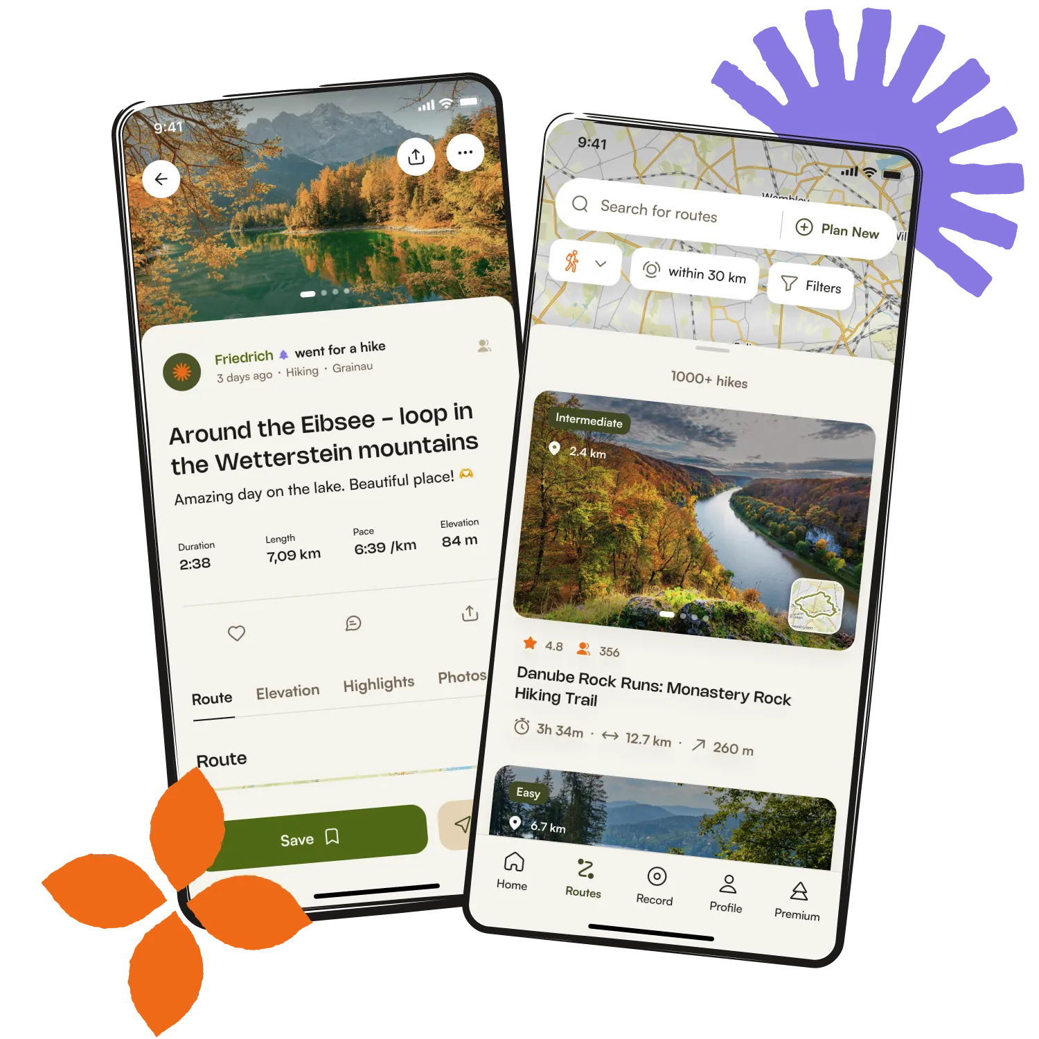
Get inspired with the komoot mobile app


Explore more
Browse the best Hikes in other regions.