The best hikes from bus stations around Llanllechid
4.5
(7321)
78,649
hikers
23
hikes
Hiking around Llanllechid offers access to the northern ranges of Snowdonia National Park, characterized by rugged mountainous terrain including the Carneddau mountains and the glacial Ogwen Valley. The area features prominent summits such as Tryfan, Glyder Fach, and Moel Faban, alongside glacial lakes like Llyn Idwal and waterfalls such as Aber Falls. Historic quarry tracks and ancient hut settlements are also integrated into the landscape, providing diverse hiking experiences. The region's varied trail network caters to different skill levels, from…
Last updated: July 7, 2026
4.8
(19)
237
hikers
Hard hike. Good fitness required. Sure-footedness, sturdy shoes and alpine experience required.
5.0
(10)
165
hikers
Easy hike. Great for any fitness level. Easily-accessible paths. Suitable for all skill levels.

Sign up for free
4.7
(115)
1,040
hikers
9.08km
03:46
620m
620m
Moderate hike. Good fitness required. Mostly accessible paths. Sure-footedness required.
4.8
(9)
86
hikers
17.1km
06:36
890m
890m
Hard hike. Very good fitness required. Mostly accessible paths. Sure-footedness required.
4.3
(7)
126
hikers
Hard hike. Very good fitness required. Sure-footedness, sturdy shoes and alpine experience required.
Get access to more routes and recommendations from other explorers.
Sign up for free
Already have an account?
Our route recommendations are based on thousands of hikes, rides, and runs completed by other people on komoot.
Start today with a free account
Your next adventure awaits.
Login or Signup
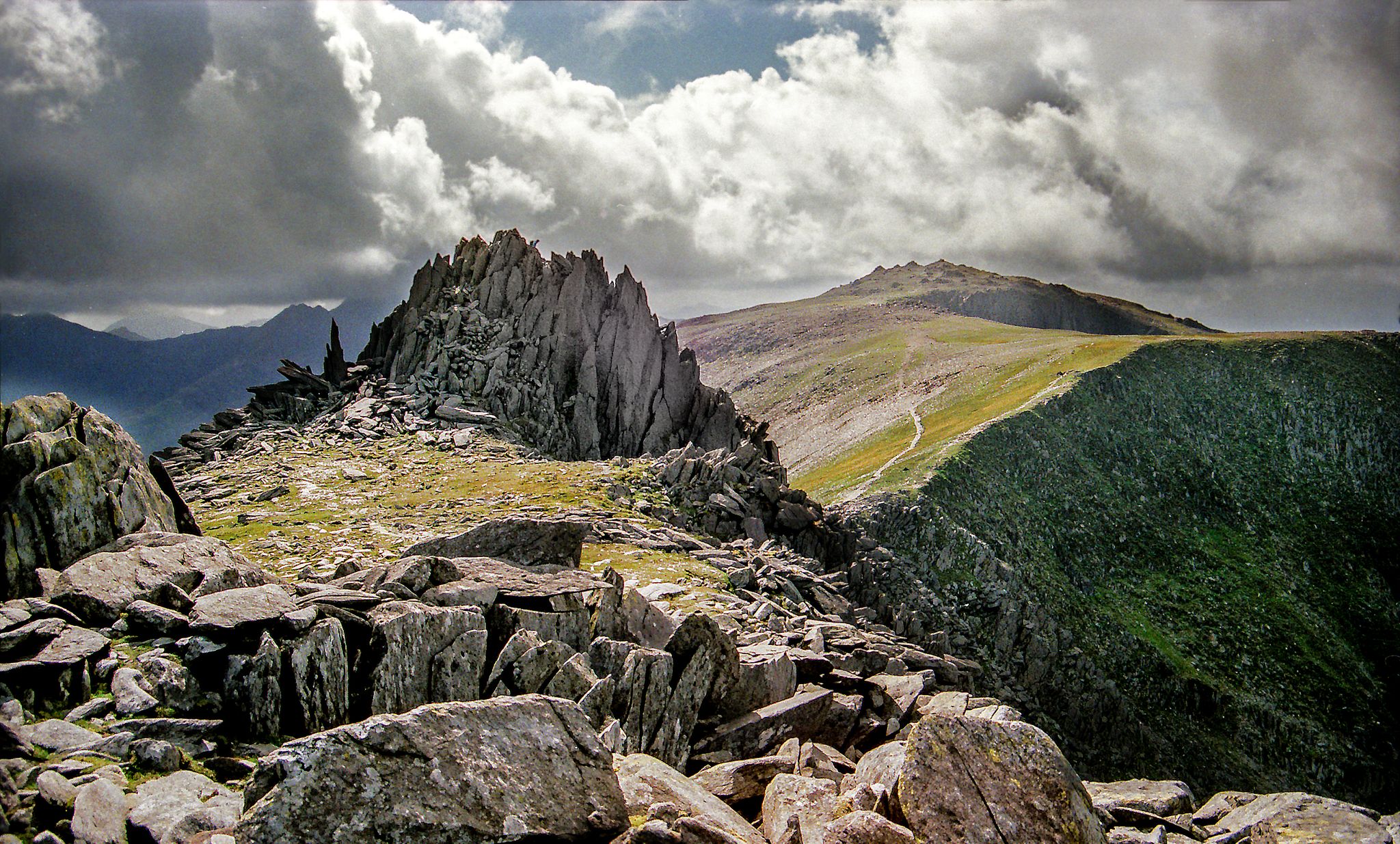
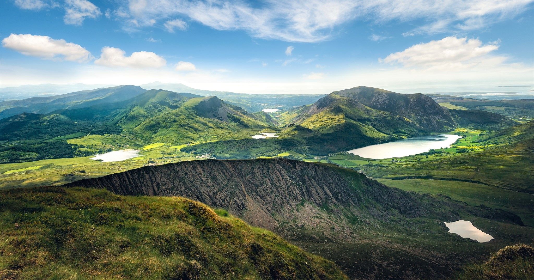
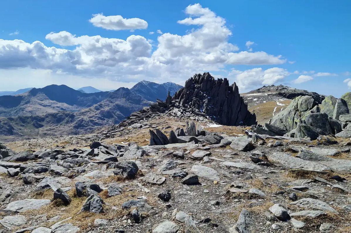
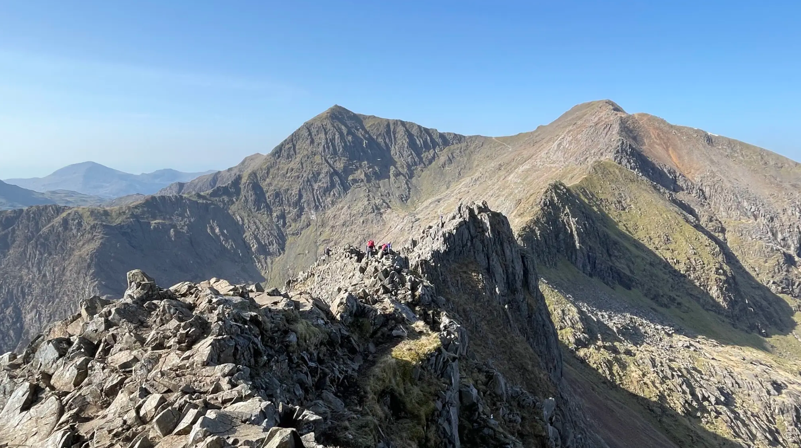
Other adventures around Llanllechid


Tips from the Community

This is the view from the lower stretches of the walk alongside the Afon Lloer.
0
0
The wide connecting ridge between Pen yr Ole Wen and Carnedd Dafydd provides a fine view looking back into Cwm Lloer, and the cliffs below Pen yr Ole Wen.
0
0
The view from the summit of Pen yr Ole Wen is restricted as it has a rounded top. The best views across to the Glyders are to be had a couple of hundred yards before the summit.
0
0

The Devil’s Kitchen, known in Welsh as Twll Du ("Black Hole"), is a massive, dark crack in the basaltic cliffs of Clogwyn y Geifr, towering over the southern end of Llyn Idwal. Why the Name? It earned its English nickname because of the plumes of mist or steam that frequently rise from the chasm. To early observers, this looked like smoke rising from a chimney, leading to the legend that the Devil was busy cooking inside. The Experience The Path: A steep, rocky "staircase" of boulders leads you from the lake shore up toward the Kitchen. It is a strenuous climb that requires sure-footedness, as the ancient rock is often wet and slippery. The Scenery: As you ascend, you pass the Devil’s Appendix (the waterfall mentioned earlier) and gain incredible views back over the Cwm Idwal "amphitheatre." Geology: The area is a world-class geological site. You can see the Idwal Syncline here—a dramatic U-shaped fold in the rock layers caused by tectonic pressure millions of years ago. Botanical Rarety: The humid, sheltered environment of the Kitchen is one of the few places in the UK where rare arctic-alpine plants, like the Snowdon Lily, have survived since the last Ice Age. Once you reach the top of the Kitchen, the landscape flattens out into a high plateau containing the small, eerie lake of Llyn y Cŵn.
0
0
Canolfan Cwm IdwalClick to open side panel for more information is the primary visitor hub for the Ogwen Valley in Eryri National Park. Located along the A5 near National Trust - Ogwen CottageClick to open side panel for more information, it offers an interactive exhibition on local geology and 24-hour public toilets. Visitors can grab snacks and drinks from the kiosk before embarking on popular trails to Cwm Idwal and the surrounding Glyderau mountains.
0
0
Pen yr Ole WenClick to open side panel for more information is the seventh-highest mountain in Wales and the southernmost peak of the Carneddau range. Standing at 978 meters (3,209 feet), its distinctive pyramid shape dominates the northern skyline of the Ogwen Valley, directly facing the jagged peaks of Tryfan and the Glyderau. Challenging Ascents: The mountain is famous for its steep, unrelenting climb from Ogwen Cottage. The most direct route involves a breathless scramble up the south ridge, which quickly gains height and provides dramatic aerial views of Llyn Idwal below. Panoramic Views: From the summit, you are rewarded with one of the finest 360-degree vistas in Eryri, looking deep into the glacial trough of Nant Ffrancon and across to the Snowdon massif. Gateway to the Carneddau: It serves as the primary gateway for hikers embarking on the long, high-altitude traverse toward Carnedd Dafydd and Carnedd Llewelyn, the range's higher neighbors. Rugged Terrain: Unlike the more popular Snowdon paths, Pen yr Ole Wen offers a wilder, rockier experience that requires good navigation skills, especially when cloud descends on its broad, stony plateau.
0
0
Rhaeadr Idwal is the scenic waterfall formed as the outflow of Llyn Idwal tumbles toward the Ogwen Valley. Cascading over ancient volcanic rock, it is a highlight of the approach path from Ogwen Cottage. Nearby, the Devil’s Appendix plunges 93 meters down the cliffs of Twll Du, making it the tallest single-drop waterfall in Wales. These falls are most dramatic after heavy rain or when frozen into spectacular ice columns in winter.
0
0
Frequently Asked Questions
How many bus-accessible hiking trails are available around Llanllechid?
There are 24 bus-accessible hiking trails around Llanllechid, offering a variety of experiences. This includes 4 easy routes, 10 moderate routes, and 10 difficult routes, ensuring options for all skill levels.
What kind of terrain and difficulty can I expect on bus-accessible hikes in Llanllechid?
Hikes from bus stations in Llanllechid range from easy to difficult. You can expect varied terrain, from accessible lakeside paths around areas like Llyn Idwal to strenuous mountain ascents in the Carneddau and Glyderau ranges. The region is known for its rugged mountainous landscapes and significant elevation changes, especially on routes leading to prominent summits.
Are there any family-friendly bus-accessible walks near Llanllechid?
Yes, there are several family-friendly options. Easy routes, such as the Lake Idwal – View of Tryfan loop from Tryfan, offer less challenging terrain and shorter distances, perfect for families. The area around Llyn Idwal is particularly popular for its stunning glacial lake and relatively gentle paths.
Can I bring my dog on these bus-accessible hiking trails?
Many trails in the Llanllechid area are dog-friendly, but it's essential to keep dogs under control, especially in areas with livestock or ground-nesting birds. Always check local signage for specific restrictions, particularly within Snowdonia National Park. Ensure your dog is capable of handling the terrain and distance of your chosen route.
What natural features or landmarks can I see along bus-accessible routes?
The bus-accessible routes offer access to stunning natural features. You can explore the dramatic glacial landscape of Llyn Idwal, Wales' first National Nature Reserve, or experience the rugged beauty of the Carneddau mountains. Highlights include the Bwlch Tryfan (Tryfan Pass) and the impressive views from summits like Moel Faban and Moel Wnion. While not directly on all bus routes, the magnificent Aber Falls is also a notable natural attraction in the wider region.
Are there any circular bus-accessible walks available?
Yes, many of the bus-accessible routes are designed as circular walks, allowing you to start and end at the same public transport stop without retracing your steps. For example, the Lake Idwal – Y Garn Summit loop from Tryfan provides a rewarding circular experience through the Glyderau mountains.
What is the best time of year to hike from bus stations in Llanllechid?
Spring and autumn generally offer the most pleasant conditions for hiking in Llanllechid, with milder temperatures and often clearer skies. Summer can be beautiful but also busier, while winter brings the possibility of snow and ice, requiring appropriate gear and experience, especially on higher routes. Always check the weather forecast before heading out, as conditions can change rapidly in the mountains.
Are there any challenging hikes accessible by bus from Llanllechid?
Absolutely. For experienced hikers seeking a challenge, routes like the Tryfan Summit – View of Tryfan loop from Tryfan or the Carnedd Dafydd – View of Tryfan loop from Tryfan offer significant elevation gain and rugged terrain. These routes provide access to prominent summits and panoramic views across Snowdonia, including the Carneddau range.
What do other hikers enjoy most about bus-accessible hiking in Llanllechid?
The bus-accessible hikes in Llanllechid are highly rated by the komoot community, with an average score of 4.56 stars. Reviewers often praise the stunning mountainous landscapes, the convenience of car-free access to trailheads, and the diverse range of routes from gentle lakeside strolls to challenging summit ascents. The dramatic views of Snowdonia and the unique glacial features are frequently highlighted.
Are there any facilities like cafes or pubs near the bus-accessible trailheads?
While Llanllechid itself is a village, some bus-accessible trailheads, particularly those in more popular areas like the Ogwen Valley, may have nearby facilities. For example, the Ogwen Visitor Centre and Snack Bar is located near some trailheads, offering refreshments and information. It's always advisable to carry sufficient supplies, especially on longer or more remote routes.
Most popular routes around Llanllechid
Most popular attractions around Llanllechid

Get inspired with the komoot mobile app


Explore more
Browse the best Hikes in other regions.
