The best volcano hikes and walks in Pichincha
4.6
(396)
3,529
hikers
7
hikes
Volcano hiking trails in Pichincha province offer diverse landscapes ranging from towering volcanic peaks to high-altitude páramo grasslands. The region is characterized by the majestic Andes Mountains and numerous volcanoes, including the Pichincha complex and Cotopaxi. Hikers can explore varied terrain, from challenging ascents to extinct volcano craters and lush cloud forests. This geographical diversity provides a range of experiences for different skill levels.
Best volcano hiking trails in Pichincha
- The most popular volcano hiking route is Corazón Summit loop…
Last updated: October 24, 2026
4.8
(4)
101
hikers
14.2km
05:30
1,020m
1,020m
Hard hike. Very good fitness required. Easily walkable paths.
5.0
(6)
130
hikers
7.01km
04:51
1,210m
1,210m
Hard hike. Very good fitness required. Mostly walkable paths. Sure-footedness required.

51
hikers
14.6km
05:03
810m
810m
Hard hike. Very good fitness required. Easily walkable paths.
4.8
(4)
53
hikers
7.95km
02:57
530m
530m
Moderate hike. Good fitness required. Easily walkable paths.
4.0
(1)
10
hikers
10.2km
04:02
760m
760m
Moderate hike. Good fitness required. Easily walkable paths.
Get access to more routes and recommendations from other explorers.
Already have an account?
Our route recommendations are based on thousands of hikes, rides, and runs completed by other people on komoot.
Start today with a free account
Your next adventure awaits.
Popular around Pichincha


Tips from the Community

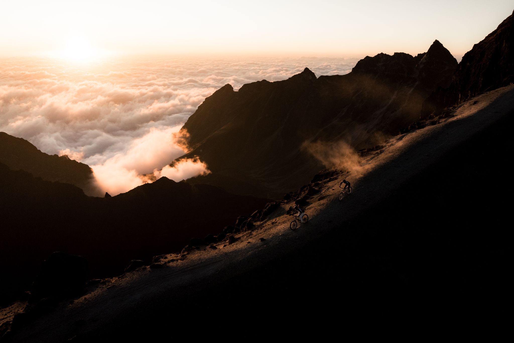
For us, the better way downhill! You can really slide down the mountain! If you go uphill, you keep sliding back on the sand! Besides, people are always coming towards you and kicking up sand in your face!
0
0
The parking lot is video monitored by a camera! The drive up is demanding but possible with any car! You have to take the last corner with momentum or you have no chance!
0
0

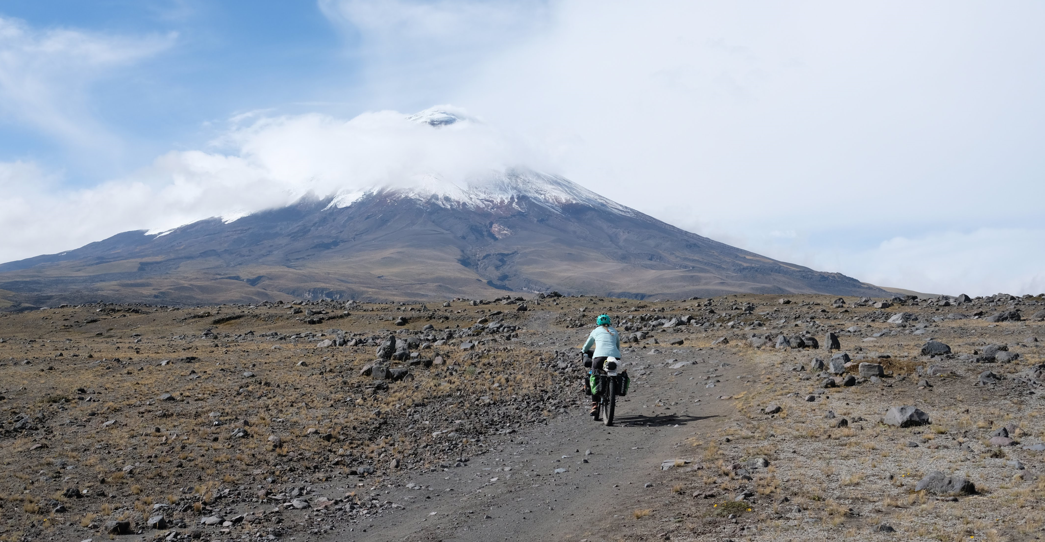
Here at 4620m the road ends. Hikers are drawn up to the Jose Ribas hut, bikers can enjoy the fantastic nature in the 360 degree cinema on the descent with the volcano behind them.
1
0

It went easier than expected. The air is thin up here but doable.
0
0

the view from this height is not always good. Often foggy. However, when the cloud cover breaks open, the lowlands stretch far into the distance. The sun plays with the many yellow and green tones as far as the eye can see.
1
0
This shelter is 4864 steps closer to the moon - for us Europeans - an astonishing height. Cozy inside, it also defies the adverse conditions you'll find outside on your way to the glacier (or the summit). No alcohol is served, there is a highly concentrated cocoa-flavoured sugar solution for refreshment. They like it sweet in the south. No wonder our guide preferred a hearty soup, which is served here as if you were somewhere in the lowlands.
3
1

Keep your eyes open as you drive through the park. Wild horses, falcons, llamas and curious Andean foxes keep crossing the path.
2
0
Indescribably beautiful view during the ascent to the base camp at 4864m.
1
1
Frequently Asked Questions
How many volcano hiking trails are available in Pichincha?
Pichincha offers a diverse range of volcano hiking experiences. Our guide features 7 curated trails, with 4 rated as moderate and 3 as difficult, ensuring options for various skill levels.
What are the typical difficulty levels for volcano hikes in Pichincha?
Volcano hikes in Pichincha range from moderate to difficult. Trails like the Pasochoa Volcano summit loop are considered moderate, while ascents such as the José Rivas Refuge – View from Cotopaxi loop or the Corazón Summit loop from Quebrada Ingacorral are more challenging, often involving significant elevation gain and high-altitude conditions. Rucu Pichincha is also a popular moderate to hard option, often used for acclimatization.
Are there any circular volcano hiking routes in Pichincha?
Yes, several volcano hikes in Pichincha are circular. For instance, you can explore the Corazón Summit loop from Quebrada Ingacorral, the Paperbark Tree Forest – Summit of Pasochoa Volcano loop, or the Pasochoa Volcano summit loop from Hacienda San Francisco de Pasochoa. These loops offer varied scenery and a complete experience without retracing your steps.
What natural features and landmarks can I expect to see on these volcano trails?
Pichincha's volcano trails offer breathtaking natural features. You'll encounter towering volcanic peaks like Rucu Pichincha Summit and Corazón Summit, vast páramo grasslands, and potentially even high-altitude desert environments. The Limpiopungo Lagoon within Cotopaxi National Park is a notable highlight, offering scenic views of the iconic Cotopaxi Volcano.
What is the best time of year to hike the volcanoes in Pichincha?
The best time for volcano hiking in Pichincha is generally during the dry season, which typically runs from June to September. During these months, you can expect clearer skies and less rain, offering better visibility and safer trail conditions for high-altitude ascents. However, weather in the Andes can be unpredictable, so always be prepared for sudden changes.
Are there any family-friendly volcano hikes in Pichincha?
While many volcano hikes in Pichincha are challenging, some areas offer more accessible options. For instance, trails around Limpiopungo Lagoon in Cotopaxi National Park can be suitable for families looking for scenic walks with views of the volcanoes without extreme difficulty. Always check the specific trail's elevation and distance to ensure it matches your family's fitness level.
What should I pack for a day hike on a Pichincha volcano?
Given the high altitudes and variable Andean weather, it's crucial to pack layers, including warm clothing, a waterproof and windproof jacket, and a hat and gloves. Sturdy hiking boots, sunscreen, sunglasses, plenty of water, and high-energy snacks are essential. Don't forget a first-aid kit and a fully charged phone. For higher ascents, consider trekking poles.
Is public transport available to reach volcano trailheads like Rucu Pichincha?
Yes, for Rucu Pichincha, public transport is quite accessible. You can take a taxi or bus to the base of the Teleférico (cable car) in Quito. The Teleférico then transports you to a higher elevation, significantly reducing the initial ascent and making the Rucu Pichincha Summit hike more manageable.
Are permits required for hiking certain volcanoes in Pichincha?
Yes, permits or entrance fees may be required for certain areas. For example, Cotopaxi National Park, which includes trails like the José Rivas Refuge – View from Cotopaxi loop, typically requires an entrance fee. It's always advisable to check the latest regulations for specific volcanoes like Pasochoa or Guagua Pichincha before your visit, as requirements can change.
What do other hikers enjoy most about volcano hiking in Pichincha?
The komoot community highly rates the volcano hiking experiences in Pichincha, with an average score of 4.7 stars. Reviewers frequently praise the spectacular panoramic views from the summits, the unique high-altitude páramo landscapes, and the rewarding challenge of reaching volcanic peaks. Many also appreciate the accessibility of trails like Rucu Pichincha from Quito.
Are there any cafes or restaurants near the Teleférico for Rucu Pichincha?
Yes, at the upper station of the Teleférico, there are facilities including cafes and small shops where you can grab a snack or a warm drink before or after your hike to Rucu Pichincha Summit. More extensive dining options are available at the base of the Teleférico in Quito.
Most popular routes in Pichincha
Most popular attractions in Pichincha

Get inspired with the komoot mobile app


Explore more
Browse the best Hikes in other regions.
