The best city hikes and walks in Demervallei Tussen Aarschot En Diest
4.5
(1060)
5,481
hikers
48
hikes
Urban hiking trails in Demervallei Tussen Aarschot En Diest traverse a varied landscape shaped by the Demer river and its valley, transitioning between the flat Kempen region and the rolling Hageland. The area features river terraces, isolated river dunes, and former marshlands now part of the Demerbroeken nature reserve. To the south, ancient sand-ironstone formations form the Diestiaan hills, offering elevated viewpoints. This diverse topography includes grasslands, wetlands, and remnants of marsh forests, providing a range of environments for urban…
Last updated: October 12, 2026
4.5
(4)
27
hikers
Easy hike. Great for any fitness level. Easily-accessible paths. Suitable for all skill levels.
4.3
(7)
17
hikers
5.47km
01:25
40m
40m
Easy hike. Great for any fitness level. Easily-accessible paths. Suitable for all skill levels.

3.5
(4)
13
hikers
9.89km
02:30
20m
20m
Moderate hike. Good fitness required. Easily-accessible paths. Suitable for all skill levels.
12
hikers
Moderate hike. Good fitness required. Easily-accessible paths. Suitable for all skill levels.
4.5
(2)
13
hikers
5.07km
01:18
20m
20m
Easy hike. Great for any fitness level. Easily-accessible paths. Suitable for all skill levels.
Get access to more routes and recommendations from other explorers.
Already have an account?
Our route recommendations are based on thousands of hikes, rides, and runs completed by other people on komoot.
Start today with a free account
Your next adventure awaits.
Popular around Demervallei Tussen Aarschot En Diest
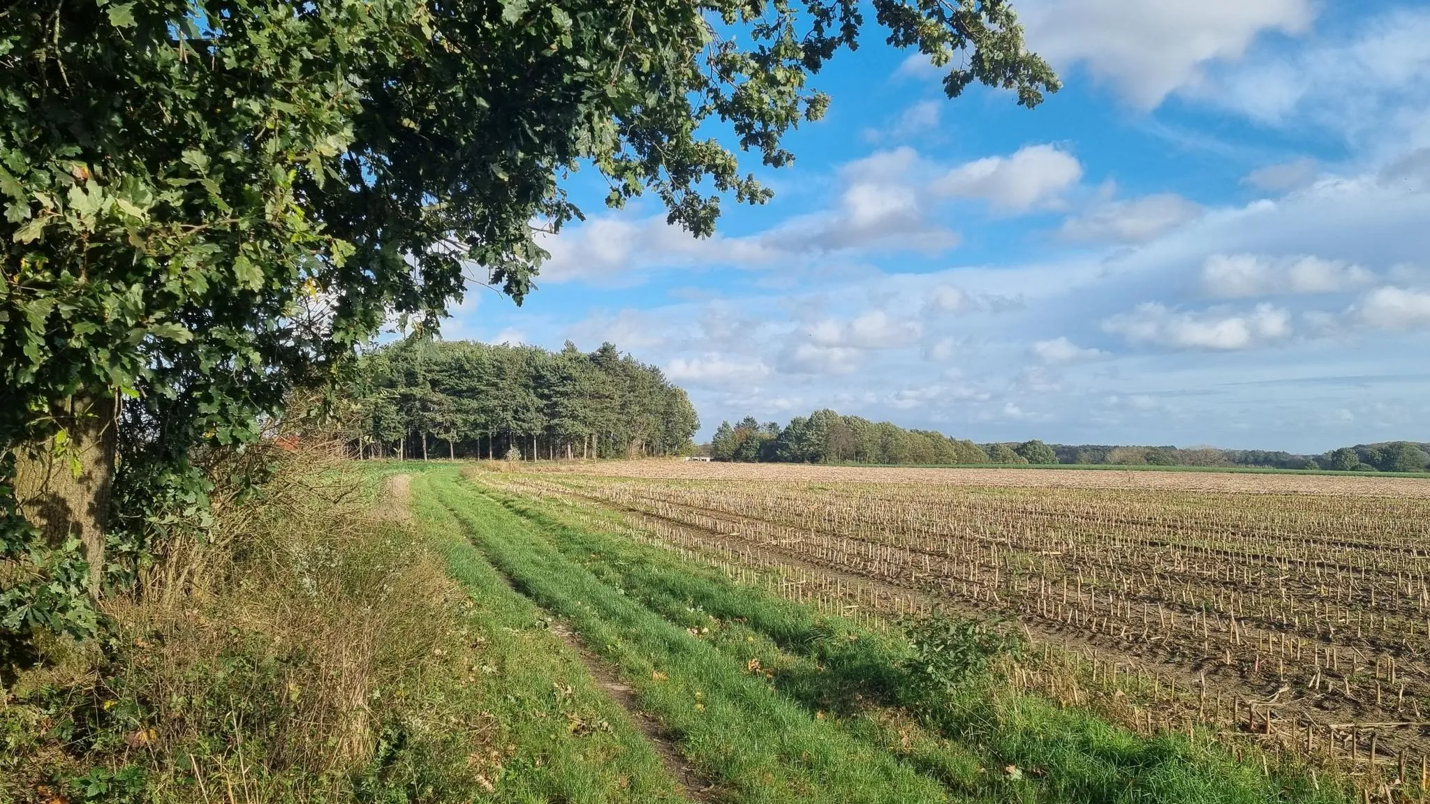
Other adventures in Demervallei Tussen Aarschot En Diest

Tips from the Community

Let the stream serve as your Ariane thread to Aarschot. The path follows the bank to drop you at the gates of the station. The end of the path, however, takes on rougher, more industrial tones, notably sliding under the dark arch of a bridge. A striking urban transition, but one that calls for vigilance: this last segment is shared with the livelier pace of cyclists.
0
0

The stairs to the Citadel of Diest connect the city center with the historic and renovated citadel domain on the Allerheiligenberg. These stairs are part of the site's redevelopment and offer hikers a smooth and direct climb to the top. At the top of the stairs, you have this beautiful view over the city.
2
0
The Church of Our Lady of Diest is located on the corner of Bruidstraat and Begijnestraat in the center of Diest. The sober church is mainly made of iron sandstone in a Gothic style typical of the region. It is therefore an important example of early Demer Gothic. In 1211, a chapel stood on this site, serving as the castle chapel for the Lords of Diest. They resided in a castle on the Warande. The Church of Our Lady was built between 1253 and 1288, in an early Gothic style. Beggars destroyed the church and stole all the metal when the church wardens did not comply with their financial demands. The church lost the storeys of its tower when it collapsed in 1612. In 1777, it received a new bluestone portal in Baroque style. The bluestone rose window in the west facade is striking. During the night of July 2-3, 1830, the vaults of the choir collapsed. It was considered not to repair the church anymore due to the high repair costs. At the end of the 19th century, the church was renovated, and the addition of a 65 m high tower was considered. This did not happen. Source: https://www.diest-online.be/onze-lieve-vrouwekerk/
2
0
The Schaffense Poort (or Schaffensepoort) is one of the oldest city gates of Diest. The gate was already part of the medieval city walls. During the construction of the 19th-century fortifications of Diest (defensive belt around Diest), the Schaffense Poort was rebuilt between 1837 and 1844. The gate was built around 1840 by Louis Beeckman. In 1951, there were plans to demolish this gate after German troops had seriously damaged it during the war. This did not happen due to opposition from the Royal Commission for Monuments and Landscapes. Since 1996, the gate (as part of the fortifications) has been protected as a monument.
2
0
Diest originated on the banks of the Demer. It was the Celts who built a first settlement here. The river name Demer would therefore also originate from the Celtic language and would mean as much as “Dark River”. The name Diest would in turn mean “Settlement along the Divine river”. The medieval city center of Diest developed along the Demer banks, which offered the city many advantages in terms of trade over the centuries. After the demolition of the city walls in the 20th century, the Demer had been reduced to a stinking open sewer over the years and it was decided to bury the Demer. Decades later, it turns out that the city's liveability is suffering enormously from traffic congestion, and fortunately it was decided to reopen the Demer. In September 2012, the first phase of the major project to reopen the Demer in Diest began. The works were completed in 2016.
4
0
The Saspoort, also called the Demerpoort, is a historic water gate in the city of Diest. The gate was built in the 19th century as part of the military defense belt around the city. It served as a water regulator and passage for the Demer river at the fortifications.
2
0


Frequently Asked Questions
How many urban hiking trails are available in Demervallei Tussen Aarschot En Diest?
There are over 40 urban hiking trails in Demervallei Tussen Aarschot En Diest, offering a variety of experiences within the towns and their immediate surroundings. The majority of these routes are rated as easy, making them accessible for most hikers.
What kind of terrain can I expect on urban hikes in Demervallei Tussen Aarschot En Diest?
Urban hikes in Demervallei Tussen Aarschot En Diest often feature a mix of landscapes. You'll find paths along the meandering Demer river, through former marshlands like the Demerbroeken Nature Reserve, and occasionally gentle climbs into the Diestiaan hills for elevated viewpoints. The region transitions between the flat Kempen and rolling Hageland, providing varied relief even within urban proximity.
Are there any family-friendly urban hikes in Demervallei Tussen Aarschot En Diest?
Yes, many urban trails in the region are suitable for families. With 38 out of 41 routes rated as easy, you'll find plenty of options for shorter, less strenuous walks. An example is the Aarschot Beguinage – ’s Hertogenmolens loop, which is just over 3 km and explores historical sites within Aarschot.
What are some interesting landmarks or natural features to see on urban hikes?
Urban hikes in Demervallei Tussen Aarschot En Diest offer a blend of historical and natural sights. You can explore historic towns like Aarschot and Diest, with their beguinages and market squares. Natural highlights include the Demerbroeken Nature Reserve, the De Kuilen bird hide, and the Iron Sandstone Quarry Demerbroeken. The region's diverse ecosystems, including river valleys and sand dunes, provide unique scenery.
Are there circular urban walks available in Demervallei Tussen Aarschot En Diest?
Yes, most of the urban hiking routes in Demervallei Tussen Aarschot En Diest are circular, allowing you to start and end at the same point. For instance, the Market Square, Diest – City view loop offers a pleasant 5 km circular walk through Diest.
What do other hikers enjoy most about urban hiking in Demervallei Tussen Aarschot En Diest?
The area is highly rated by the komoot community, with an average score of 4.5 stars from over 840 reviews. Hikers often praise the region's varied landscapes, the accessibility of the trails, and the combination of natural beauty with historical urban elements. The presence of the Demer river and its associated nature reserves is frequently highlighted.
Are there any moderate urban hiking trails for those seeking a bit more challenge?
While most urban trails are easy, there are a few moderate options for those looking for a longer walk. For example, the Demer – ’s Hertogenmolens, Aarschot loop is a moderate 9.8 km route that takes you along the Demer river and through the urban fringes of Aarschot.
What is the best time of year for urban hiking in Demervallei Tussen Aarschot En Diest?
The Demervallei Tussen Aarschot En Diest is enjoyable for urban hiking throughout the year. Spring brings blooming flora, while autumn offers beautiful colors along the river and in the surrounding nature reserves. Even in winter, the open character of the valley provides expansive views, and the well-maintained paths are generally accessible.
Can I find urban hikes with good viewpoints in the region?
Yes, despite being largely urban, the region offers several spots with good views. The Diestiaan hills, such as the Voortberg near Testelt, provide elevated perspectives over the Demervallei. The Beautiful view over Aarschot – Demer loop is an easy 5.3 km route specifically highlighting scenic vistas of Aarschot and the river.
Are there any urban trails that pass by water features like ponds or lakes?
Yes, the Demer river is central to the region, and many urban trails follow its course. You can also find routes that pass by other water features. For instance, the Ponds at Park Schoonhoven offer a tranquil setting, and the Heath pond is another notable water body within the area's diverse ecosystems.
Are there any longer urban hikes for a full day out?
For a longer urban hiking experience, consider routes like the Aarschot Beguinage – Demer loop. This moderate trail covers nearly 12 km, allowing for a more extensive exploration of Aarschot's urban and natural surroundings, including its historic beguinage and the Demer river.
Most popular routes in Demervallei Tussen Aarschot En Diest
Most popular attractions in Demervallei Tussen Aarschot En Diest

Get inspired with the komoot mobile app


Explore more
Browse the best Hikes in other regions.
