The best hikes from bus stations in Spessartwiesen
4.6
(9790)
34,353
hikers
1,057
hikes
Bus station hiking trails in Spessartwiesen traverse a region characterized by extensive, contiguous mixed forests, including ancient beech and oak trees, making it a significant conservation area. The landscape features rolling hills, picturesque valleys, and clearings, with crystal-clear streams and river valleys. Hikers can expect diverse terrain, from gentle paths along waterways to more challenging ascents through dense woodlands. The area offers a tranquil environment for outdoor activities, with elevations reaching up to 586 meters at the Geiersberg.
Best bus…
Last updated: July 9, 2026
4.7
(73)
269
hikers
17.0km
04:52
400m
400m
Moderate hike. Good fitness required. Easily-accessible paths. Suitable for all skill levels.
4.7
(24)
99
hikers
11.6km
03:15
220m
220m
Moderate hike. Good fitness required. Easily-accessible paths. Suitable for all skill levels.

Sign up for free
4.8
(25)
83
hikers
8.37km
02:35
280m
280m
Moderate hike. Good fitness required. Easily-accessible paths. Suitable for all skill levels.
4.5
(28)
119
hikers
6.89km
01:48
50m
50m
Easy hike. Great for any fitness level. Easily-accessible paths. Suitable for all skill levels.
4.7
(29)
89
hikers
10.4km
02:54
200m
200m
Moderate hike. Good fitness required. Easily-accessible paths. Suitable for all skill levels.
Get access to more routes and recommendations from other explorers.
Sign up for free
Already have an account?
Our route recommendations are based on thousands of hikes, rides, and runs completed by other people on komoot.
Start today with a free account
Your next adventure awaits.
Login or Signup
Popular around Spessartwiesen



Tips from the Community

A beautiful piece of nature.
0
0

With the decommissioning of the Spessartrampe and the Schwarzkopftunnel, the 163-year history of the old Heigenbrücken train station ended on 15.06.2017. A shorter route with only slightly reduced gradient (21 instead of 21.7 per mille) has been gradually put into operation since June 19, 2017. From June 15 to 19, 2017, the new Spessartrampe was linked to the existing network as part of a total closure and the new Heigenbrücken stop was put into operation. Source: https://de.wikipedia.org/wiki/Spessartrampe
1
0
The small (Etzbachbogen) and the large Holzmannbogen are two structures made of red variegated sandstone, which were built around 1850 during the railway construction measures. The Etzbachbogen (Kleiner Holzmannbogen) is 40 m long, the Dunkle Bogen (Große Holzmannsbrücke) is 140 m long. Besides the Wendelstein-, Meidhof- and Sachsenhäuserbrücke in Laufach, the so-called Chausseebogen spans the federal road B 26 in Hain. It is 51 m long, up to 14 m high and 11.6 m wide. This viaduct has become a striking landmark of Hain. Source: Information board at the location
1
0

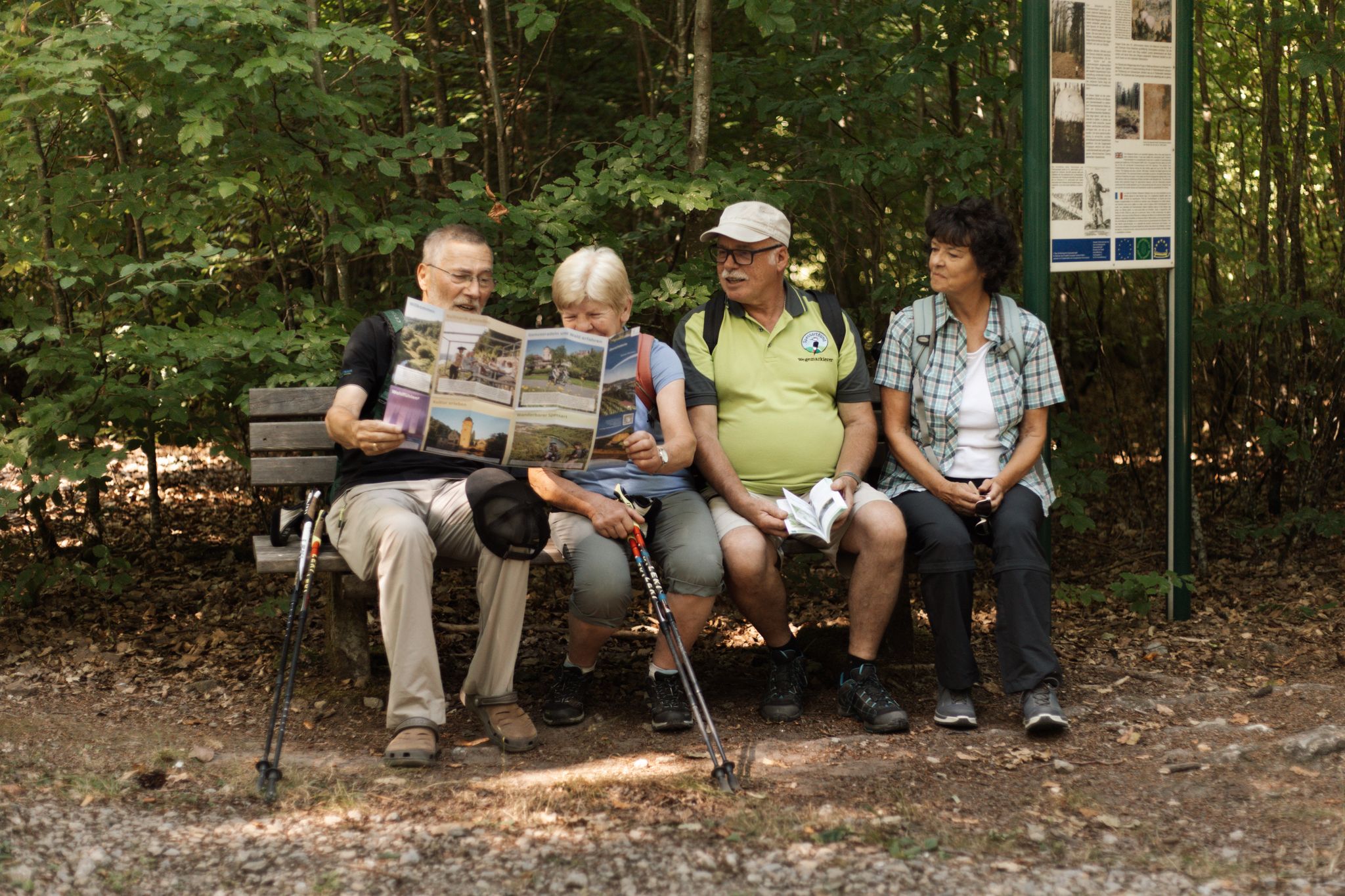
Small bench with a nice view right by the wayside.
7
0

It is a Catholic parish church, built in 1892-1893, more than 20 years before Heigenbrücken became an independent parish.
2
0

The image doesn't match the text.
0
0
In Larte, the "Schwarzkopf Tunnel" is located here, more precisely the "West Portal". The tunnel was taken out of service in 2017.
2
0
The Catholic parish church of St. Wendelin was built in 1892-1893. It underwent extensive renovations in 1935.
2
0
Frequently Asked Questions
How many bus station hiking trails are available in Spessartwiesen?
Spessartwiesen offers over a thousand hiking trails accessible from bus stations, catering to various fitness levels. You'll find over 450 easy routes, more than 500 moderate options, and around 40 challenging trails.
What kind of landscapes can I expect on bus-accessible hikes in Spessartwiesen?
The region is characterized by extensive mixed forests, including ancient beech and oak trees, rolling hills, and picturesque valleys. You'll encounter clear streams, river valleys, and open clearings. The Spessartwiesen Nature Reserve – Habichsthal is a prime example of the area's natural beauty.
Are there any easy, family-friendly bus station hikes in Spessartwiesen?
Yes, there are many easy routes suitable for families. An example is the Ruhm Mill, Wiesthal – Between two axes loop from Wiesthal, which is just under 7 km and features minimal elevation gain, making it a pleasant stroll for all ages.
Can I find circular routes that start and end at a bus stop?
Many of the bus-accessible trails in Spessartwiesen are circular, allowing you to return to your starting point without needing additional transport. The Upper Aubach Lake – View of Heigenbrücken loop from Heigenbrücken is a moderate 17 km example that brings you back to where you started.
What natural features or landmarks can I see along these trails?
Hikers can discover a variety of natural features and landmarks. Look out for evidence of beavers, such as dams and gnawed trees, especially around areas like Beaver Dams in Kaltengrund. You might also pass through beautiful valleys like Aubachtal Valley or Rinderbachtal Valley. The region is also known for its picturesque lakes, such as Kaltengrundsee.
What do other hikers enjoy most about the bus station trails in Spessartwiesen?
The komoot community highly rates the trails in Spessartwiesen, with an average score of 4.6 stars from over 8,700 ratings. Hikers frequently praise the tranquil, unspoiled nature, the extensive, well-marked forest paths, and the diverse scenery that includes ancient trees and clear streams.
Are there any moderate bus-accessible hikes with good viewpoints?
Yes, several moderate routes offer excellent views. For instance, the View of Laufachtal – Großer Holzmann Tunnel loop from Heigenbrücken is a moderate 8.4 km hike that provides scenic vistas of the surrounding landscape.
When is the best time of year to hike in Spessartwiesen?
Spessartwiesen is beautiful year-round, but it's particularly stunning in spring when nature blooms and in autumn when the leaves change color, offering a vibrant display. The extensive forests provide pleasant shade during warmer months.
Are dogs allowed on the bus station hiking trails?
Generally, dogs are welcome on hiking trails in Spessartwiesen. However, it's always advisable to keep them on a leash, especially in nature reserve areas or near wildlife, and to check for any specific local regulations along your chosen route.
Are there any longer, more challenging bus-accessible routes for experienced hikers?
While many routes are moderate, there are options for longer, more challenging hikes. The Habichsthal Village Mill – Between two axes loop from Habichsthal is a moderate 11.7 km route, and for an even longer adventure, the Upper Aubach Lake – View of Heigenbrücken loop from Heigenbrücken covers over 17 km, offering a good workout with significant elevation.
Where can I find information about public transport schedules to access these trailheads?
For detailed public transport schedules and connections to the various trailheads in Spessartwiesen, it's best to consult local transport authority websites or apps. The region is well-served by buses, making many starting points easily accessible.
Most popular routes in Spessartwiesen
Most popular attractions in Spessartwiesen

Get inspired with the komoot mobile app


Explore more
Browse the best Hikes in other regions.
