The best traffic-free bike rides in Milztal Und Oberes Saaletal
4.5
(115)
769
riders
36
rides
No traffic touring cycling routes in Milztal Und Oberes Saaletal traverse a landscape characterized by picturesque river valleys, including the Milz and Fränkische Saale rivers. The region is part of the Thüringer Schiefergebirge/Oberes Saaletal Nature Park, featuring extensive forests and water bodies like the Saale and its reservoirs. While many routes offer easy cycling, the topography includes elevation changes, with plateaus rising over 300 meters above valley floors, providing varied terrain for cyclists.
Best no traffic touring cycling routes in…
Last updated: September 28, 2026
4.6
(34)
251
riders
Moderate bike ride. Good fitness required. Mostly paved surfaces. Suitable for all skill levels.
4.3
(12)
39
riders
30.2km
02:13
410m
410m
Moderate bike ride. Good fitness required. Mostly paved surfaces. Suitable for all skill levels.

4.3
(3)
63
riders
26.1km
01:32
100m
100m
Easy bike ride. Great for any fitness level. Mostly paved surfaces. Suitable for all skill levels.
4.5
(2)
28
riders
15.1km
00:54
60m
60m
Easy bike ride. Great for any fitness level. Mostly paved surfaces. Suitable for all skill levels.
5.0
(1)
21
riders
43.1km
02:31
220m
220m
Moderate bike ride. Good fitness required. Mostly paved surfaces. Suitable for all skill levels.
Get access to more routes and recommendations from other explorers.
Already have an account?
Our route recommendations are based on thousands of hikes, rides, and runs completed by other people on komoot.
Start today with a free account
Your next adventure awaits.
Other adventures in Milztal Und Oberes Saaletal

Tips from the Community

St.-Vitus-Kirche: The parish church shapes the townscape; the original village church formed the center of the community together with a fortified church in the Middle Ages. On the way to the church and the Saalebrücke, there are significant cultural monuments such as historical Rococo wayside shrines and a statue of St. Nepomuk.
3
0
The Saale Cycleway extends for around 400 kilometers from the Saale source in the Fichtelgebirge (Bavaria) through Thuringia to the mouth of the Saale into the Elbe near Barby (Saxony-Anhalt).
5
0
The Saale Cycle Path extends for around 400 kilometers from the Saale source in the Fichtelgebirge (Bavaria) through Thuringia to the mouth of the Saale into the Elbe near Barby (Saxony-Anhalt).
3
0
The historic Saale Bridge in Hollstadt is an 18th-century, three-span, round-arched stone bridge. It crosses the Franconian Saale and is now protected as a historical monument.
3
0
Offers a wide panorama of the municipality of Heustreu as well as the surrounding hilly landscape and river valleys (Streu and Fränkische Saale).
3
0
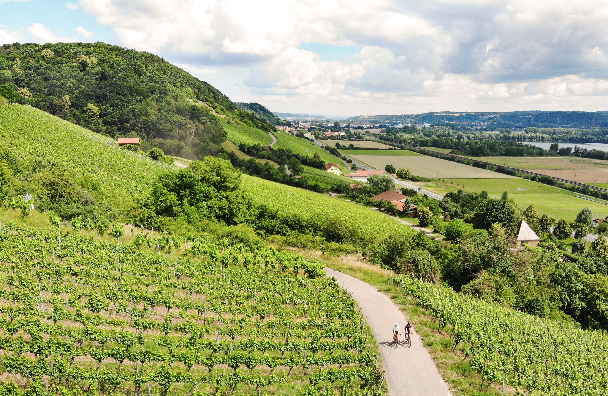
River valley of the Fränkische Saale at the foot of the Rhön in northern Unterfranken. Predominantly flat to gently rolling profile along the river meadows; ideal for beginners, families, as well as pleasure cyclists and hikers. Well-maintained (mostly asphalted or finely gravelled) paths, largely away from motorized road traffic.
3
0

Opportunity for a break, right next to it an interesting board about the course of the Baunach.
5
0
Here you are at the front Baumachsee, a detour to the rear Baunachsee is worthwhile. There is a seating area as well as an information board about the course of the Baunach.
9
0
Frequently Asked Questions
How many no-traffic touring cycling routes are available in Milztal Und Oberes Saaletal?
There are over 40 dedicated no-traffic touring cycling routes in Milztal Und Oberes Saaletal, offering a variety of experiences from easy rides to more challenging tours. This includes 10 easy routes, 23 moderate routes, and 9 difficult routes.
What kind of terrain can I expect on these no-traffic cycling routes?
The region features picturesque river valleys like the Milz and Fränkische Saale, often with gentle gradients. However, the broader landscape, part of the Thüringer Schiefergebirge/Oberes Saaletal Nature Park, also includes plateaus with elevation changes that can exceed 300 meters, offering both flat sections and rewarding descents. A notable feature is the Cycle Path on the Former Grabfeld Railway Line, which typically provides a flat and accessible surface.
Are there any family-friendly no-traffic cycling routes?
Yes, many routes are suitable for families, especially those utilizing former railway lines which tend to be flatter and safer. An easy option is the Shaded Picnic Area – Die Anstalt Café on the Cycle Path loop from Saal an der Saale, which is just under 21 km with minimal elevation gain.
What natural features or landmarks can I see along the routes?
The routes often pass through scenic river valleys, dense forests, and past water bodies like the Saale and its reservoirs. You can also discover historical sites such as the Saale Bridge, Hollstadt, an 18th-century structure, or the Former railway station in Großeibstadt. The Irmelshausen Lake is another beautiful spot, offering amenities like charging stations for e-bikes.
Are there any circular no-traffic touring routes?
Yes, many of the routes are designed as loops, allowing you to start and end at the same point. For example, the Sulzfeld Swimming Lake – Sulzfelder Lake loop from Kleineibstadt is an easy circular route of nearly 20 km.
What do other touring cyclists enjoy most about cycling in Milztal Und Oberes Saaletal?
The region is highly rated by the komoot community, with an average score of 4.67 out of 5 stars from 131 ratings. Reviewers often praise the quiet, traffic-free nature of the routes, the diverse landscapes, and the well-maintained paths, especially those built on former railway lines.
Are there routes suitable for beginners or those looking for an easy ride?
Absolutely. There are 10 easy routes specifically designed for a relaxed pace and minimal challenge. The Shaded Picnic Area – Die Anstalt Café on the Cycle Path loop from Saal an der Saale is an excellent example, with very little elevation gain over its 21 km.
Where can I find amenities like cafes or charging stations along the routes?
The region is generally well-equipped for cyclists. You can find charging stations for e-bikes, for instance, at Irmelshausen Lake. The Lakeside kiosk is also a good spot for a break. Many routes pass through or near villages where cafes and other services are available.
What is the best time of year to go touring cycling in Milztal Und Oberes Saaletal?
The region is enjoyable for cycling throughout the warmer months, from spring to autumn. Spring offers blooming landscapes, while autumn provides beautiful foliage. Summer is also popular, but it's always advisable to check local weather forecasts before heading out.
Are there any longer, more challenging no-traffic routes for experienced touring cyclists?
Yes, for those seeking a greater challenge, there are 9 difficult routes and 23 moderate routes. The Grabfeldblick Viewing Platform – Baunachsee loop from Bad Königshofen im Grabfeld is a moderate route spanning over 30 km with significant elevation changes, offering rewarding views.
Can I find routes with good viewpoints?
Many routes offer scenic viewpoints, especially those that ascend to plateaus. The region's diverse topography, with its river valleys and higher elevations, naturally provides opportunities for panoramic views. The View of the Brend Valley – View of the Rhön loop from Wülfershausen an der Saale is a moderate route specifically highlighting scenic vistas.
Most popular routes in Milztal Und Oberes Saaletal
Most popular attractions in Milztal Und Oberes Saaletal

Get inspired with the komoot mobile app


Explore more
Browse the best Cycling routes in other regions.
