The best road cycling routes around Lindenberg
4.7
(26)
205
riders
32
rides
Road cycling routes around Lindenberg im Allgäu are set within a diverse landscape, characterized by rolling hills, alpine vistas, and proximity to Lake Constance. The region offers varied terrain, from paths along the Schwarzach and Argen rivers to routes with views of the Nagelfluhkette mountain range. Cyclists can expect mostly paved surfaces, with some routes featuring significant elevation gains.
Best road cycling routes around Lindenberg
- The most popular road cycling route is View of the Nagelfluhkette – Syrgenstein Castle loop…
Last updated: July 10, 2026
24
riders
Moderate road ride. Good fitness required. Some segments of this route may be unpaved and difficult to ride.
9
riders
62.4km
02:40
270m
270m
Moderate road ride. Good fitness required. Mostly well-paved surfaces and easy to ride.

Sign up for free
8
riders
30.7km
01:15
130m
130m
Easy road ride. Great for any fitness level. Mostly well-paved surfaces and easy to ride.
6
riders
Moderate road ride. Good fitness required. Mostly well-paved surfaces and easy to ride.
6
riders
46.0km
01:55
180m
180m
Easy road ride. Great for any fitness level. Mostly well-paved surfaces and easy to ride.
Get access to more routes and recommendations from other explorers.
Sign up for free
Already have an account?
Our route recommendations are based on thousands of hikes, rides, and runs completed by other people on komoot.
Start today with a free account
Your next adventure awaits.
Login or Signup
Tips from the Community

Short (approx. 4–5 km depending on the exact start/end position), relatively flat and easily rideable on asphalt or a path alongside the road.
0
0

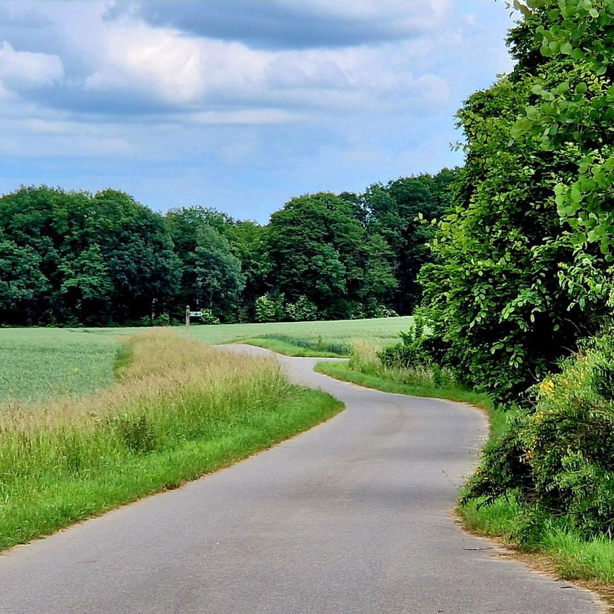
Super road with little traffic and top asphalt and view!
0
0

And you can eat delicious food in the fairytale garden!
0
0
The church was originally built as a fortified church by farmers from Meesig after the Thirty Years' War. It was first documented in 1255 and originally belonged to the Verchen Monastery before being reintegrated into the Verchen parish.
0
0
It was built in the 17th century, probably on the site of an earlier building, from fieldstone mixed with brick and with an eastern half-timbered gable on an approximately square ground plan.
0
0

The Sommersdorf estate was owned by the von Maltzahn family, who had their headquarters on the neighboring Kummerow estate. The Rewoldt family is listed as the last owners. After the previous building burned down in 1924, the building was rebuilt in a modified form. During the Nazi era, the manor house was used as a "farm school for the training of young farmers." After 1945, the manor house initially housed refugees, and later it also served as residential accommodation. In 2005, construction work was carried out on the exterior facade and roof of the manor house. Today, the house houses apartments. An outbuilding houses the Sommersdorf Volunteer Fire Department.
0
0
The church was built in the 17th century, probably on the site of an earlier building, from fieldstone mixed with brick and a half-timbered gable on an approximately square ground plan. The bells are located in a freestanding wooden bell cage in the churchyard.
0
0

A very interesting historical building in Stavenhagen. The park around the castle is great for a walk.
1
0
Frequently Asked Questions
What kind of terrain can I expect on road cycling routes around Lindenberg?
Road cycling routes around Lindenberg im Allgäu feature a diverse landscape, including rolling hills, alpine vistas, and proximity to Lake Constance. You'll find paths along the Schwarzach and Argen rivers, as well as routes offering impressive views of the Nagelfluhkette mountain range. The surfaces are mostly paved, but some routes include significant elevation gains, requiring good to very good fitness.
How many road cycling routes are available in the Lindenberg area?
There are over 30 road cycling routes available around Lindenberg, catering to various skill levels. This includes 7 easy routes and 25 moderate routes, ensuring options for both beginners and more experienced cyclists.
Are there any easy road cycling routes suitable for beginners in Lindenberg?
Yes, Lindenberg offers several easy road cycling routes. For instance, the 'Scenic Road Through the Fields – View of Lake Kummerow loop from Borrentin' is an easy 46 km route with moderate elevation. Another easy option is the 'Stavenhagen Town Church – View of Kummerower See loop from Reuterstadt Stavenhagen', which is 31.2 km long. These routes are ideal for those looking for less challenging rides.
What are some challenging road cycling routes around Lindenberg?
For experienced cyclists, routes with significant elevation gains are available. While specific challenging routes from the Lindenberg area are not detailed in the provided data, the region is known for its alpine vistas and demanding sections with steep ascents and descents on consistently asphalted roads. The 'View of the Nagelfluhkette – Syrgenstein Castle loop' is mentioned as a challenging 38.6 km ride with 450m of elevation gain.
What natural features or landmarks can I see while road cycling in Lindenberg?
Cyclists in Lindenberg can enjoy breathtaking views of the Allgäu Alps and the Nagelfluhkette mountain range. Routes also lead past the idyllic Waldsee Lindenberg and along the Schwarzach and Argen rivers. Some paths offer scenic views of Lake Constance. Another point of interest is the Rentershofener Bahndamm, an old railway embankment.
Are there any circular road cycling routes in Lindenberg?
Yes, many of the road cycling routes around Lindenberg are designed as loops. Examples include the 'View of the Nagelfluhkette – Syrgenstein Castle loop', the 'Waldsee Lindenberg – View of the Nagelfluhkette loop', and the 'View of Lake Constance loop'. These circular routes allow you to start and end your ride in the same location.
What do other road cyclists think about the routes in Lindenberg?
The road cycling routes in Lindenberg are highly regarded by the komoot community, holding an impressive average rating of 4.7 stars from over 20 reviews. More than 200 road cyclists have used komoot to explore the varied terrain, often praising the scenic views and diverse landscape.
Are there any themed routes, like the 'Blossom Cheese Route' mentioned in the region research?
Yes, the region offers unique themed routes such as the 'Blossom Cheese Route'. This 26-kilometer route winds through the West Allgäu, showcasing lush meadows, colorful flowers, open forests, and traditional dairies and breweries, all while providing stunning views. It's a great way to combine cycling with local culture and scenery.
What is the best time of year for road cycling in Lindenberg?
While specific seasonal recommendations are not provided, the diverse terrain and natural beauty of Lindenberg suggest that spring and summer would be ideal for enjoying the lush meadows, open forests, and comfortable temperatures. Autumn would also offer beautiful foliage views, especially in the alpine areas.
Can I find routes that offer views of Lake Constance?
Absolutely. The 'View of Lake Constance loop' is a popular 33.8 km route specifically designed to offer scenic views of the lake. This hard route includes 480m of elevation gain and typically takes about 2 hours 15 minutes to complete.
Are there any routes suitable for a moderate fitness level?
Yes, Lindenberg has 25 routes classified as moderate. A good example is the 'Waldsee Lindenberg – View of the Nagelfluhkette loop', a 20.9 km path with 270m of elevation gain, offering scenic views and a manageable challenge for those with moderate fitness.
What is the longest road cycling route available in the Lindenberg area?
Among the routes listed, the 'View of Lake Malchin – View of Lake Kummerow loop from Reuterstadt Stavenhagen' is the longest, spanning 92.8 km with an elevation gain of 477 meters. This moderate route typically takes around 3 hours 47 minutes to complete.
Most popular routes around Lindenberg
Most popular attractions around Lindenberg

Get inspired with the komoot mobile app


Explore more
Browse the best Road cycling routes in other regions.
