The best traffic-free bike rides in Kittatinny Valley State Park
4.3
(3)
174
riders
19
rides
No traffic road cycling routes in Kittatinny Valley State Park traverse a landscape shaped by glacial activity, featuring a mix of rolling hills and flat paths. The park is notable for its network of multi-use rail-trails, which offer generally level terrain suitable for road cycling. These routes often pass by glacial lakes, including Lake Aeroflex, and through diverse ecosystems home to various wildlife. The terrain provides accessible options for different cycling skill levels, from easy rides to more challenging routes.
…Last updated: October 26, 2026
5
riders
70.5km
03:39
740m
740m
Moderate road ride. Good fitness required. Some segments of this route may be unpaved and difficult to ride.
6
riders
22.9km
00:57
120m
120m
Easy road ride. Mostly well-paved surfaces and easy to ride.

6
riders
33.4km
01:34
240m
240m
Moderate road ride. Some segments of this route may be unpaved and difficult to ride.
6
riders
44.4km
01:57
320m
320m
Moderate road ride. Good fitness required. Mostly well-paved surfaces and easy to ride.
3
riders
34.1km
01:37
260m
260m
Moderate road ride. Some segments of this route may be unpaved and difficult to ride.
Get access to more routes and recommendations from other explorers.
Already have an account?
Our route recommendations are based on thousands of hikes, rides, and runs completed by other people on komoot.
Start today with a free account
Your next adventure awaits.
Popular around Kittatinny Valley State Park
Tips from the Community

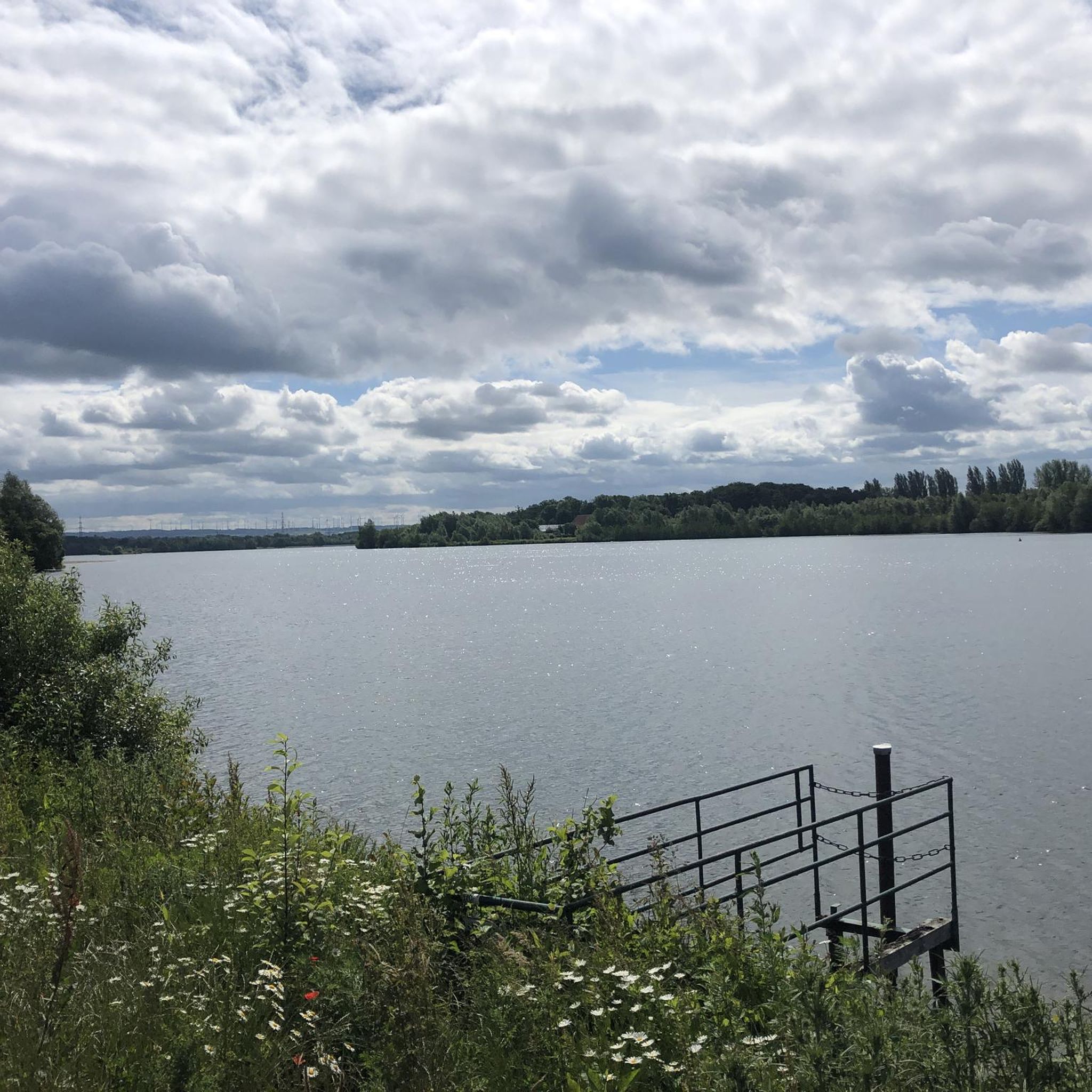
Mount Laurel Lake is an extension of the much larger Upper Greenwood Lake. Mount Laurel Lake is connected to the larger lake at the southern end and can be viewed from the Warwick Turnpike as you bike by.
0
0

Frequently Asked Questions
How many no-traffic road cycling routes are available in Kittatinny Valley State Park?
Kittatinny Valley State Park offers a selection of 18 dedicated no-traffic road cycling routes. These routes range from easy to moderate difficulty, ensuring options for various skill levels.
What kind of surfaces can I expect on the no-traffic cycling routes?
The park's no-traffic routes primarily utilize converted rail-trails, which often feature wide cinder surfaces. While many sections are generally level, some routes within and around the park are described as having mostly paved surfaces, suitable for road bikes. It's always a good idea to check individual route descriptions for specific surface details.
Are there any easy, family-friendly no-traffic road cycling routes?
Yes, there are 3 easy routes perfect for families or those seeking a relaxed ride. One such option is the Dogwood Pond loop from Oak Ridge, which offers a gentle 22.9 km ride with minimal elevation gain.
Can I bring my dog on the cycling trails in Kittatinny Valley State Park?
Many multi-use trails, including the rail-trails, are generally dog-friendly. However, it's crucial to keep your dog on a leash at all times and to follow all park regulations regarding pets. Always check specific trail rules before heading out.
What are some notable natural features or attractions I might see while cycling?
As you cycle through Kittatinny Valley State Park, you'll encounter diverse natural beauty. The park is home to several glacial lakes, including Lake Aeroflex, Gardner's Pond, Twin Lakes, and White's Pond. Lake Aeroflex is particularly notable as New Jersey's deepest natural lake. The routes also pass through varied ecosystems, offering opportunities to spot wildlife like whitetail deer, wild turkeys, and various songbirds.
Are there any circular no-traffic road cycling routes?
Yes, several routes offer a circular experience. For example, the Sussex Branch Trail loop from Crooked Swamp Cave provides a moderate 34 km loop, allowing you to return to your starting point without retracing your steps.
Where can I find parking for the no-traffic cycling routes?
Kittatinny Valley State Park offers various parking locations to access its trail system. The Hill-Hussey Stone House, which serves as the visitor center, is a central point and likely has parking available. For specific trailheads, it's best to consult a park map or the individual route details on komoot for designated parking areas.
What is the best time of year to go road cycling in Kittatinny Valley State Park?
The park's diverse landscape makes it enjoyable across seasons. Spring and fall offer pleasant temperatures and vibrant scenery, with autumn foliage being particularly beautiful. Summer can be warm, but the shaded rail-trails provide some relief. Winter cycling is possible, but conditions may vary with snow and ice, so checking trail conditions is advisable.
Are there any historical points of interest along the cycling routes?
Yes, the rail-trails themselves are rich in history, converted from critical railroad beds from the late 1800s and early 1900s. The Hill-Hussey Stone House, built in 1825, now functions as the park's visitor center and offers a direct connection to the region's past.
What is the longest moderate no-traffic road cycling route available?
Among the moderate routes, the Mount Laurel Lake loop from Oak Ridge stands out as one of the longer options, covering approximately 44.3 km with a moderate elevation gain, offering a substantial ride for those with good fitness.
Can I access the park's cycling trails using public transportation?
While the park is primarily accessed by car, specific public transportation options directly to trailheads might be limited. It's recommended to check local bus or train schedules for nearby towns like Newton or Andover, and then plan for a short taxi or ride-share to reach the park's main access points or visitor center.
Are there places to eat or stay near Kittatinny Valley State Park?
Yes, nearby towns such as Newton, Andover, and Blairstown offer various amenities including cafes, pubs, and accommodation options. These towns provide convenient stops for refreshments or overnight stays before or after your cycling adventures in the park.
Most popular routes in Kittatinny Valley State Park

Get inspired with the komoot mobile app


Explore more
Browse the best Road cycling routes in other regions.
