The best dog-friendly hikes and walks in El Toro Open Space Preserve
4.9
(7)
114
hikers
1
hike
Dog friendly hiking trails in El Toro Open Space Preserve traverse diverse landscapes within the eastern foothills of the Santa Cruz Mountains. The preserve features native oak woodlands, expansive grasslands, and seasonal wildflowers. El Toro Mountain, rising 1,420 feet (432 m), is a prominent natural feature offering scenic views across the valley. The terrain includes varied elevations, providing a range of hiking experiences.
Best dog friendly hiking trails in El Toro Open Space Preserve
- The most popular dog friendly hiking route is Rosendin Pond loop from Anderson Reservoir, a 2.8 miles (4.5 km) trail that takes 1 hour 15 minutes to complete. This easy loop offers views of Rosendin Pond.
- Another top favourite among local hikers is Harvey Bear, Willow Springs, and Townsprings Loop, an easy 4.2 miles (6.8 km) path. This route features varied terrain through open spaces and woodlands.
- Local hikers also love the Harvey Bear, Calaveras, Coyote Ridge and Willow Springs Loop, a 7.6 miles (12.2 km) trail leading through diverse landscapes, often completed in about 3 hours 35 minutes.
- Hiking in El Toro Open Space Preserve is defined by oak woodlands, grasslands, and views of El Toro Mountain. The network offers options for different ability levels, from easy walks to moderate ascents.
- The routes in El Toro Open Space Preserve are highly rated by the komoot community with an average score of 4.75 stars from 3 reviews. More than 100 hikers have used komoot to explore El Toro Open Space Preserve's varied terrain.
Last updated: November 10, 2026
4
hikers
2.53km
00:41
40m
40m
Easy hike. Easily walkable paths.
15
hikers
6.78km
01:59
210m
180m
Easy hike. Easily walkable paths.

5.0
(1)
7
hikers
12.2km
03:33
320m
300m
Moderate hike. Good fitness required. Easily walkable paths.
2
hikers
8.25km
02:26
280m
180m
Moderate hike. Good fitness required. Easily walkable paths.
6
hikers
4.88km
01:24
120m
120m
Easy hike. Easily walkable paths.
Our route recommendations are based on thousands of hikes, rides, and runs completed by other people on komoot.
Start today with a free account
Your next adventure awaits.
Tips from the Community

Coyote Reservoir is a man-made lake in Santa Clara County, north of Gilroy. There are many trails in the reservoir for running, walking, and biking. The lake is also navigable from April to October.
0
0

Harvey Bear Trail circles toward the western edge of the county park, and features relaxing landscapes withe views of Coyote Lake and surrounding foothills.
0
0

Enjoy miles of trails winding through diverse landscapes, from oak woodlands to grasslands, catering to all levels. Keep your eyes peeled for over 219 bird species, including bald eagles, owls, and songbirds.
0
0
Rosendin Pond offers a charming, quiet escape within Anderson Lake State Park. Its seasonal beauty, gentle trails, and peaceful atmosphere make it a perfect spot for a relaxing escape to nature in Gilroy.
0
0
Coyote Reservoir is a man-made lake in Santa Clara County, north of Gilroy. There are many trails in the reservoir for running, walking, and biking. The lake is also navigable from April to October.
1
0
Harvey Bear Trail circles toward the western edge of the county park, and featuers relaxing landscapes withe views of Coyote Lake and surrounding foothills.
0
0

Willow Springs Trail is one of the primary routes for hikers to enter the 6,695 acre Coyote Lake - Harvey Bear Ranch County Park. The park features a 449-acre lake with a “world-class” population of black bass, bluegill, black crappie, and Eurasian carp. The park is home to rare western pond turtle, California tiger salamander, and Bay Checkerspot Butterfly, as well as two hundred-nineteen species of birds including bald eagles.
1
0
Coyote Lake (also known as Coyote Reservoir) was formed through the construction of a 140-foot (43 m) high, 980-foot (300 m) long, earth and rock dam in 1936. Swimming is not allowed in the lake by order of the Santa Clara Valley Water District, but it's worthy of a visit for the views alone (and fishing, for those who bring pole and tackle along for the hike!).
1
0
Frequently Asked Questions
How many dog-friendly hiking trails are available in El Toro Open Space Preserve?
El Toro Open Space Preserve offers a selection of 5 dog-friendly hiking routes. These trails range from easy walks to more moderate ascents, providing options for various fitness levels and preferences.
What are the easiest dog-friendly trails for a leisurely walk?
For an easy, dog-friendly stroll, consider the Rosendin Pond loop from Anderson Reservoir. This route is shorter and has minimal elevation gain, making it perfect for a relaxed outing with your canine companion.
Are there any dog-friendly loop trails in El Toro Open Space Preserve?
Yes, several dog-friendly loop trails are available. The Harvey Bear, Willow Springs, and Townsprings Loop offers a pleasant circular route through varied terrain. Another option is the Rosendin Pond loop from Anderson Reservoir, which is also a great choice for a contained walk.
What is the best time of year to hike with my dog in El Toro Open Space Preserve?
The preserve is beautiful year-round, but spring is particularly rewarding due to vibrant seasonal wildflowers and milder temperatures. Fall also offers pleasant hiking conditions. Summers can be warm, so early mornings or late afternoons are best during those months to avoid the heat.
Are there any trails with significant elevation gain for a more challenging dog-friendly hike?
If you're looking for a more challenging hike with your dog, routes like the Harvey Bear, Calaveras, Coyote Ridge and Willow Springs Loop or the Townsprings, Harvey Bear, Coyote Ridge and Willow Springs Loop offer moderate difficulty with notable elevation changes, providing a good workout for both you and your dog.
What kind of terrain can I expect on dog-friendly trails in the preserve?
The dog-friendly trails in El Toro Open Space Preserve feature diverse terrain, including native oak woodlands, expansive grasslands, and areas with seasonal wildflowers. You'll encounter a mix of well-maintained paths and natural surfaces, with varied elevations ensuring a dynamic hiking experience.
What do other hikers enjoy most about dog-friendly hiking in El Toro Open Space Preserve?
The komoot community highly rates the trails in El Toro Open Space Preserve, with an average score of 4.75 stars. Hikers often praise the diverse landscapes, the peaceful atmosphere, and the well-maintained paths that make for enjoyable outings with their dogs.
Are there any specific dog rules or regulations I should be aware of?
While dogs are welcome on the trails, it's important to keep them on a leash at all times to protect the local wildlife and ensure a safe experience for all visitors. Please also remember to pack out any waste to keep the preserve clean.
Are there any viewpoints or scenic spots along the dog-friendly trails?
Many trails offer scenic views, particularly as you gain elevation. El Toro Mountain itself, rising 1,420 feet, provides panoramic vistas across the valley and into the Santa Cruz Mountains. While specific viewpoints aren't individually highlighted in the data, the varied terrain ensures many picturesque moments.
What should I wear or bring when hiking with my dog in El Toro Open Space Preserve?
Given the varied terrain and potential for sun exposure, it's advisable to wear comfortable hiking shoes and layered clothing. Always bring plenty of water for both yourself and your dog, especially on longer routes or warmer days. Sun protection like hats and sunscreen is also recommended.
Most popular routes in El Toro Open Space Preserve
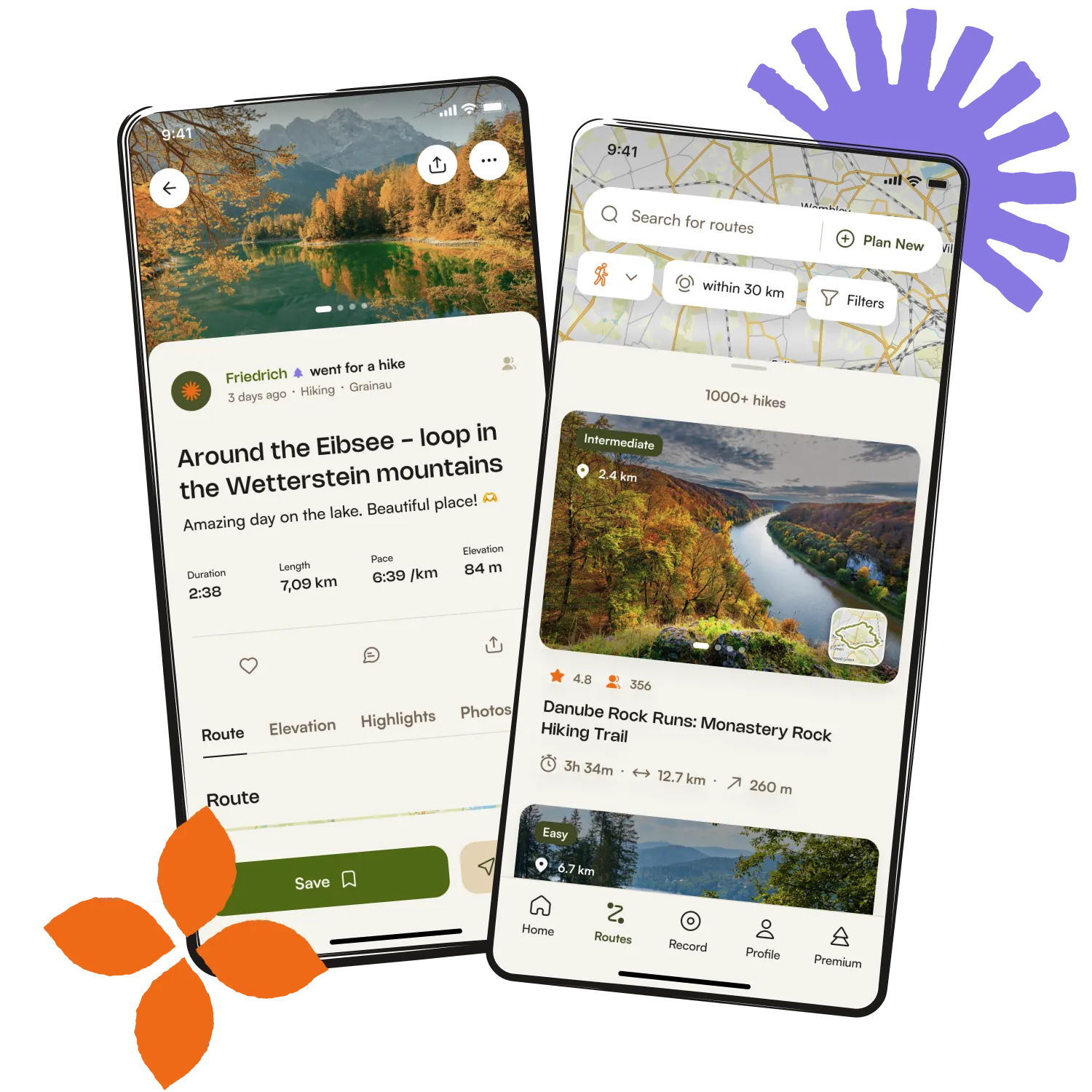
Get inspired with the komoot mobile app


Explore more
Browse the best Hikes in other regions.