The best traffic-free bike rides in Pleasanton Ridge Regional Park
4.7
(105)
4,114
riders
13
rides
Road cycling in Pleasanton Ridge Regional Park offers diverse terrain primarily on paved routes surrounding the park. The region is characterized by expansive oak woodlands, rolling grasslands, and deep canyons, providing varied topography with significant elevation changes. While the park's internal trails are largely unpaved and suited for mountain biking, the surrounding areas feature paved roads that deliver views of the Livermore Valley and Mount Diablo. These routes include both flat sections and sustained ascents, catering to different ability levels.
…Last updated: October 27, 2026
51
riders
72.1km
03:47
1,240m
1,240m
Hard road ride. Very good fitness required. Mostly well-paved surfaces and easy to ride.
19
riders
25.7km
01:08
240m
240m
Easy road ride. Mostly well-paved surfaces and easy to ride.

4.0
(2)
72
riders
Easy road ride. Mostly well-paved surfaces and easy to ride.
7
riders
Easy road ride. Mostly well-paved surfaces and easy to ride.
20
riders
94.9km
04:40
1,440m
1,440m
Hard road ride. Very good fitness required. Mostly well-paved surfaces and easy to ride.
Get access to more routes and recommendations from other explorers.
Already have an account?
Our route recommendations are based on thousands of hikes, rides, and runs completed by other people on komoot.
Start today with a free account
Your next adventure awaits.
Popular around Pleasanton Ridge Regional Park
Tips from the Community

About a mile into Santa Clara county, if you know where to look, you might spot a bald eagle. Hopefully, someone with a really good camera will post a photo and tag the location.
0
0

This a very well known bicycle route in Northern California, and there are already great details info about it online, here I just wanted to share some photos on the route.
0
0

The Museum of the San Ramon Valley was established in 1985 and sits in a restored 1891 Southern Pacific Railroad Depot with the Victorian-era “Combination Station No. 22” listed on the National Register of Historic Places. The Official Visitor Information Center offers maps, guides, and knowledgeable staff, along with free parking and restrooms located in the caboose.
1
0

Calfateras road begins by a robust climb, and then it changes to a series of switchbacks with spectacular views to the reservoir and surrounding park. The switchbacks alternate between downhill and moderate climbs, before a long downhill and flat terrain.
0
0

Riding south on Felter road from Calaveras after doing Polamares and and Calaveras Roads was a real challenge, especially since it was my first time! Get something to fuel up on at the Sunol Little Store!
0
0

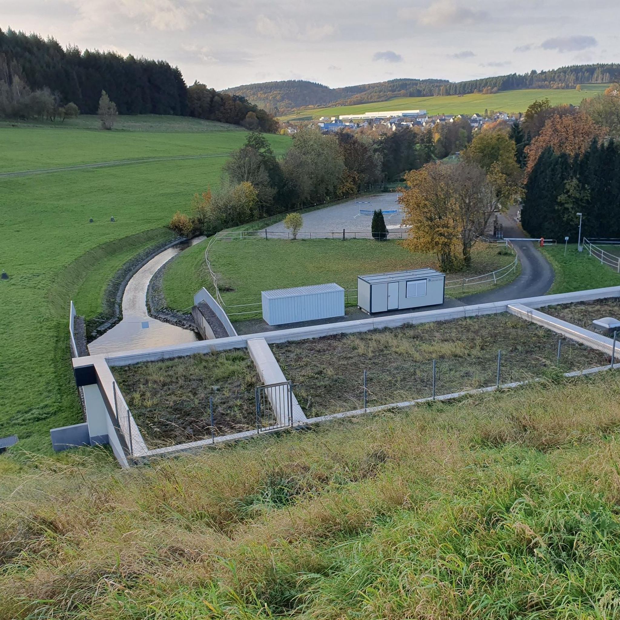
This is a nice stretch of road that follows along the path of Alameda Creek as it cuts through the foothills.
0
0

still closed, for more information and a detour see https://www.reddit.com/r/BAbike/comments/1b0mc5w/redwood_rd_closure_not_recommended_on_a_road_bike/
1
0

Nice winding, paved road that runs along the perimeter of Calaveras Reservoir. The road passes through rolling hills and gives you great views of the reservoir.
0
0
Frequently Asked Questions
How many no traffic road cycling routes are available in and around Pleasanton Ridge Regional Park?
There are 12 dedicated no traffic road cycling routes in the Pleasanton Ridge Regional Park area featured in this guide. These routes are designed for traditional road bikes, focusing on paved roads outside the immediate park trails, which are generally unpaved.
What kind of terrain can I expect on these no traffic road cycling routes?
The routes offer a diverse range of terrain. While the park itself features significant elevation changes, the surrounding paved routes provide options from relatively flat sections, such as parts of the Iron Horse Trail – Coyote Creek bridge loop, to more challenging climbs and descents. You'll experience rolling grasslands, views of oak woodlands, and expansive vistas of the Livermore Valley.
Are there any family-friendly no traffic road cycling routes?
Yes, several routes are suitable for families, particularly those looking for easier rides. The guide includes 6 easy routes, such as the Iron Horse Trail – Coyote Creek bridge loop from Foothill High School, which is just over 15 km with minimal elevation gain. Another good option is the Iron Horse Trail – Iron Horse Trail loop from Dublin/Pleasanton, offering a longer but still easy ride.
What are the best routes for experienced road cyclists seeking a challenge?
For experienced road cyclists, there are 2 difficult routes available. A notable challenging option is the Sunol Depot – Foothill Road — Pleasanton loop from Pleasanton, which covers approximately 88 km and features significant elevation changes, providing a demanding ride with rewarding views.
What are the best times of year to go road cycling in Pleasanton Ridge Regional Park?
The late winter and spring months are particularly beautiful for cycling, as you can enjoy a vibrant display of wildflowers like lupine, poppies, and redmaids. The weather is generally milder during these seasons. Summers can be warm, so early morning rides are recommended. Fall offers pleasant temperatures and changing foliage.
What can I see along the no traffic road cycling routes in the area?
While the routes focus on paved roads, they often provide views of the park's natural beauty and nearby points of interest. You might catch glimpses of the Arroyo de la Laguna, or pass by areas like Foothill Road which offers a sense of wilderness. The ridgetops provide panoramic views of Pleasanton, the Livermore Valley, Mount Diablo, and the Sunol Valley.
Are there any circular no traffic road cycling routes?
Yes, many of the routes in this guide are designed as loops, allowing you to start and end at the same point. Examples include the Sunol Depot – Calaveras Road loop from Sunol and the Olivina Gate – Sycamore Grove Park loop from Pleasanton, offering convenient round trips.
Where can I park when visiting for a no traffic road cycling trip?
Parking is generally available at various trailheads and access points around the park's perimeter and in nearby towns. For instance, the Oak Tree Picnic Area is a popular trailhead with parking facilities. Specific parking details can often be found on individual route pages.
What do other road cyclists enjoy most about the no traffic routes in Pleasanton Ridge Regional Park?
The area is highly rated by the komoot community, with an average score of 4.66 stars from 69 ratings. Reviewers often praise the stunning panoramic views, the varied terrain that caters to different skill levels, and the opportunity to enjoy peaceful rides away from heavy traffic while still experiencing the region's natural beauty.
Are there any cafes or places to stop for refreshments near these routes?
While the routes themselves focus on natural areas, the surrounding towns of Pleasanton, Sunol, and Dublin offer various cafes, restaurants, and pubs where you can refuel before or after your ride. Many routes start or pass near these towns, making it convenient to find refreshments.
What is the longest no traffic road cycling route in this guide?
The longest route featured in this guide is the Sunol Depot – Foothill Road — Pleasanton loop from Pleasanton, which spans approximately 88 kilometers. This difficult route offers an extensive ride for those looking to cover significant distance.
Can I access these routes using public transport?
Public transport access to the immediate trailheads of Pleasanton Ridge Regional Park can be limited. However, the nearby cities of Pleasanton and Dublin are served by BART (Bay Area Rapid Transit), and local bus services operate within these areas. You may need to cycle a short distance from public transport stops to reach the starting points of some routes.
Most popular routes in Pleasanton Ridge Regional Park
Most popular attractions in Pleasanton Ridge Regional Park

Get inspired with the komoot mobile app


Explore more
Browse the best Road cycling routes in other regions.
