The best hikes from bus stations in North Pennines AONB
4.5
(1969)
13,723
hikers
166
hikes
Bus station hiking trails in North Pennines AONB traverse a landscape characterized by high moorland, expansive heather moors, and broad dales. The region features dramatic upland scenery, including numerous waterfalls and significant geological formations. Hikers can explore diverse habitats ranging from flower-rich meadows to intimate woodlands. This varied terrain offers a range of experiences for different abilities.
Best bus station hiking trails in North Pennines AONB
- The most popular bus station hiking route is Five Pikes and the Elephant Trees loop from White Kirkley — North Pennines, a 9.2 miles (14.8 km) trail that takes 4 hours 8 minutes to complete. This moderate route features varied terrain and views of the surrounding fells.
- Another top favourite among local hikers is Murton Pike and High Cup Nick loop — North Pennines, a moderate 9.8 miles (15.8 km) path. This trail offers views of the distinctive High Cup Nick, a U-shaped valley.
- Local hikers also love the Westgate and Slitt Wood loop — North Pennines, a 4.4 miles (7.0 km) trail leading through woodlands and alongside a river, often completed in about 1 hour 55 minutes.
- Hiking in North Pennines AONB is defined by high moorland, dramatic dales, and impressive waterfalls. The network offers options for easy walks, moderate excursions, and more challenging routes.
- The routes in North Pennines AONB are highly rated by the komoot community with an average score of 4.5 stars from more than 1,600 reviews. More than 12,000 hikers have used komoot to explore North Pennines AONB's varied terrain.
Last updated: October 13, 2026
4.8
(29)
86
hikers
Embark on the Five Pikes and the Elephant Trees loop, a moderate hike spanning 9.2 miles (14.8 km) with an elevation gain of 975 feet (297 metres), typically completed in 4 hours and 8 minutes. This route takes you through the rugged North Pennines National Landscape, offering awe-inspiring vistas across the picturesque Weardale countryside. You will traverse farmland field paths, riverside tracks along the Bollihope Burn, and uneven moorland tracks, culminating in steep climbs that reward you with expansive views of Wolsingham and the surrounding valley. The most distinctive landmark is The Elephant Trees, a unique cluster of trees perched conspicuously on Pikeston Fell.
Planning your visit requires good fitness and sure-footedness, as the trail incorporates a variety of surfaces, including natural terrain and uneven moorland. The area around The Elephant Trees can be exposed, and trails may become muddy, especially after rain, so sturdy footwear is essential for your comfort and safety. Be prepared for steep sections, which contribute to the overall moderate difficulty of the hike. This loop is best enjoyed when you are ready for varied conditions and a rewarding physical challenge.
This trail is notable for its blend of natural beauty and historical elements. You will encounter old lime kilns along the way, remnants of the area's industrial past, and part of the route follows a former railway track once used for limestone transport. The Elephant Trees, though altered by weather, remain a beloved local icon in the Durham Dales, named for their historical resemblance to an elephant. Furthermore, this loop forms a section of the Weardale Way, a long-distance footpath that traces the course of the River Wear.
4.6
(20)
102
hikers
15.8km
04:46
490m
490m
The Murton Pike and High Cup Nick loop offers a rewarding hike through dramatic landscapes in the North Pennines. You will encounter varied terrain, from well-maintained paths to stony tracks and boulder fields, especially as you approach High Cup Nick. This spectacular U-shaped glaciated valley, often called "England's Grand Canyon," features steep cliffs and rock pinnacles. The route is a moderate 9.8 miles (15.8 km) with 1601 feet (488 metres) of elevation gain, typically taking around 4 hours and 46 minutes to complete. After reaching the top of High Cup Nick, the path flattens before a final ascent to Murton Pike, which provides 360-degree views.
This hike is generally considered moderate to moderate-hard due to its challenging sections. The ascent to High Cup Nick involves steep inclines, loose scree, and boulder crossings, requiring careful footing and significant effort. Paths can also be boggy in places, so appropriate footwear is essential. While the research mentions typical durations between 4.5 to 5.5 hours, your actual time may vary depending on stops and conditions. Plan your visit accordingly, allowing ample time to navigate the demanding parts of the route.
This trail is celebrated as one of Northern England's most awe-inspiring natural sights. High Cup Nick's dramatic U-shaped glacial valley is a unique geological feature, carved into the Pennine escarpment with prominent Whin Sill rock formations. From Murton Pike, you can enjoy unobstructed, panoramic views across the North Pennines, the Eden Valley, and even to the distant Lake District Fells. Sections of this route also form part of the renowned Pennine Way, highlighting its significance in the region.

4.6
(22)
85
hikers
12.5km
03:29
240m
240m
Hike the Grassholme Reservoir loop in the North Pennines for a moderate experience through rolling pastures and along tranquil shorelines. This 7.8-mile (12.5 km) route involves 794 feet (242 metres) of elevation gain, typically taking around 3 hours and 29 minutes to complete. You will enjoy picturesque views across the reservoir and the surrounding hills, showcasing the beauty of the Teesdale valley. The terrain features waterside paths and countryside tracks, with some undulating sections that can be quite rough and indistinct, so an OS maps app might be helpful.
While the main loop is moderate, the area offers a network of trails for various abilities. You can find an easier, shorter loop directly around the reservoir, measuring about 2.9 miles (4.6 km) and taking around 1 hour 15 minutes, which is suitable for most. Picnic areas are available, making it a good spot to enjoy a packed lunch amidst the scenic surroundings.
Grassholme Reservoir is nestled within the North Pennines National Landscape, known for its rich wildlife and changing wildflowers throughout the seasons. It is also recognized as a "dark sky friendly site," offering excellent opportunities for stargazing on clear nights. The Pennine Way, a famous long-distance trail, runs past the reservoir, providing options to extend your walk or explore sections of this iconic route.
4.9
(10)
79
hikers
7.25km
02:17
270m
270m
Embark on the Dufton Pike loop from Dufton, a moderate hike that takes you through varied terrain and offers expansive views across the North Pennines National Landscape. This route covers 4.5 miles (7.2 km) with an elevation gain of 896 feet (273 metres), and you can expect to complete it in about 2 hours and 17 minutes. From the summit of Dufton Pike, you'll see the vast Eden Valley and the distant Lakeland Fells, providing a rewarding experience for your effort.
Planning your visit is straightforward, with parking generally available in the attractive village of Dufton. Be prepared for some rough, muddy, and boggy sections, especially after rain, so walking boots are highly recommended. The ascent of Dufton Pike itself involves a short, sharp, and steep climb, requiring good fitness and sure-footedness to navigate safely.
This trail allows you to circumnavigate the unique conical shape of Dufton Pike, passing landmarks like the charming Clapper Bridge Over Great Rundale Beck. The North Pennines Area of Outstanding Natural Beauty showcases a rich tapestry of meadows, woodlands, and rugged moorlands. After your hike, The Stag Inn in Dufton offers a great spot for refreshments.
4.5
(4)
23
hikers
7.02km
01:55
110m
110m
The Westgate and Slitt Wood loop offers an easy hike through the North Pennines, covering 4.4 miles (7.0 km) with a gentle 365 feet (111 metres) of elevation gain, taking about 1 hour and 55 minutes to complete. You'll wander through ancient Slitt Wood, where the Middlehope Burn tumbles over picturesque waterfalls, creating a tranquil atmosphere. The terrain mixes unpaved, paved, natural, and asphalt sections, with some hills and stiles. Expect paths that can be uneven or muddy, especially after rain, and some boggy ground. In autumn, the tree colors are particularly vibrant, and you might even spot sea trout leaping up the cascades.
This loop is largely considered easy and suitable for most fitness levels, though sturdy footwear is highly recommended due to potentially uneven or muddy paths. The village of Westgate often serves as a convenient starting point for your hike. While the overall route is manageable, some sections might be intermediate, so be prepared for varied ground conditions. Trekking poles can offer extra stability, especially after wet weather. The trail is accessible, making it a good choice for a rewarding walk in the Durham Dales.
Beyond its natural beauty, this trail provides a remarkable journey through the North Pennines' rich industrial and geological past. As part of a UNESCO Global Geopark, you'll see remnants of lead and iron ore mining, including old shafts, brickwork, and washing floors. The prominent Slitt Vein and the disused West Rigg opencut highlight the area's mining heritage, with many remains protected as scheduled monuments. The geology spans 320 million years, showcasing visible shale, sandstone, and limestone waterfalls. Slitt Wood itself is a legally protected Site of Special Scientific Interest, adding to the trail's unique character.
Get access to more routes and recommendations from other explorers.
Already have an account?
Our route recommendations are based on thousands of hikes, rides, and runs completed by other people on komoot.
Start today with a free account
Your next adventure awaits.
Popular around North Pennines AONB
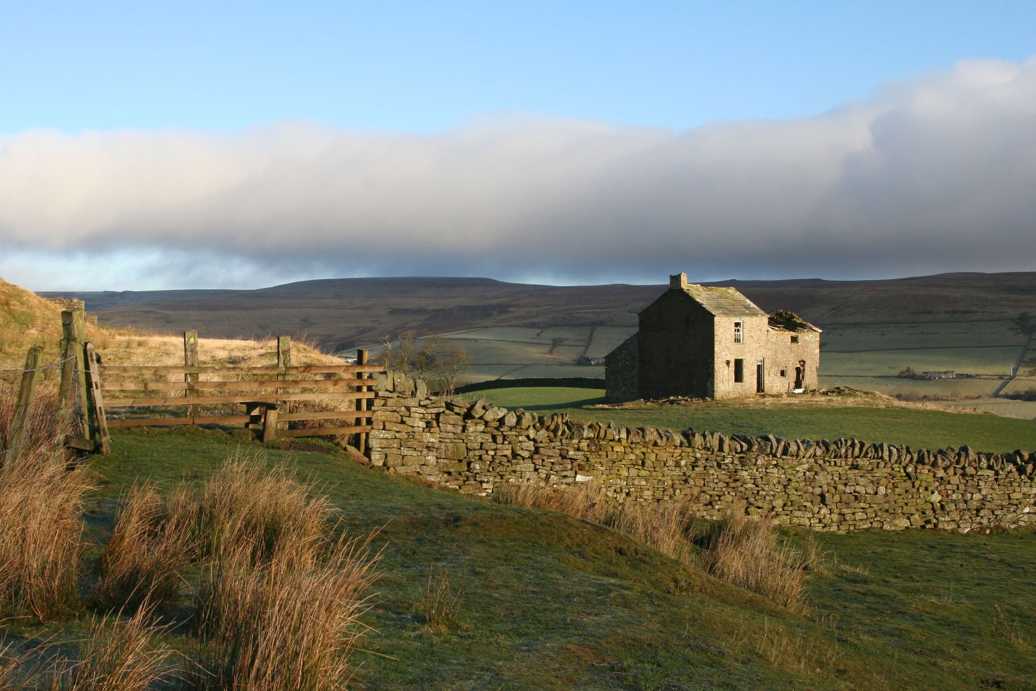
Weardale Way — Hike from the North Sea to the wild Pennines
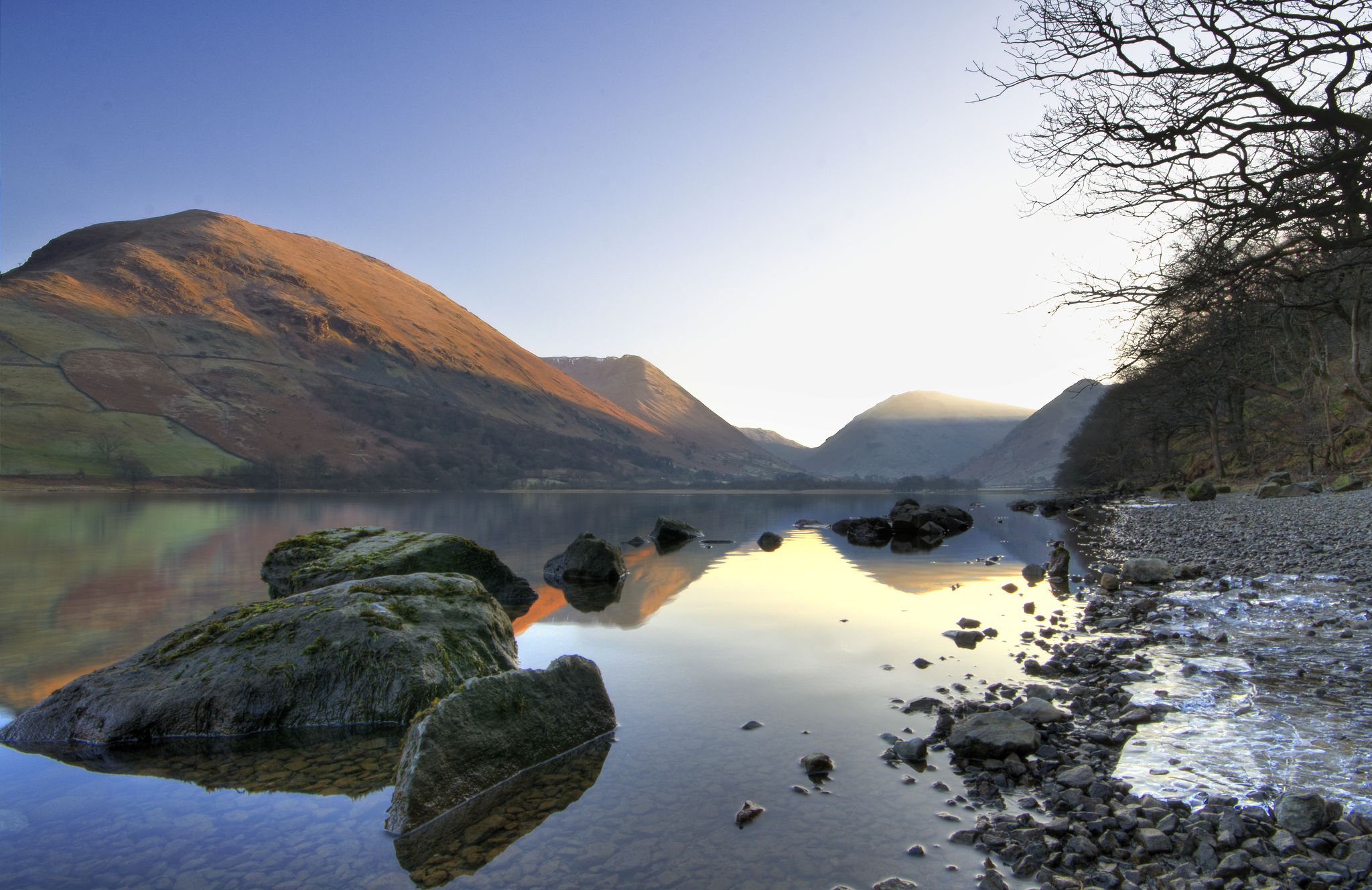
Lake to Lake Walk — Windermere to Kielder across the beautiful North
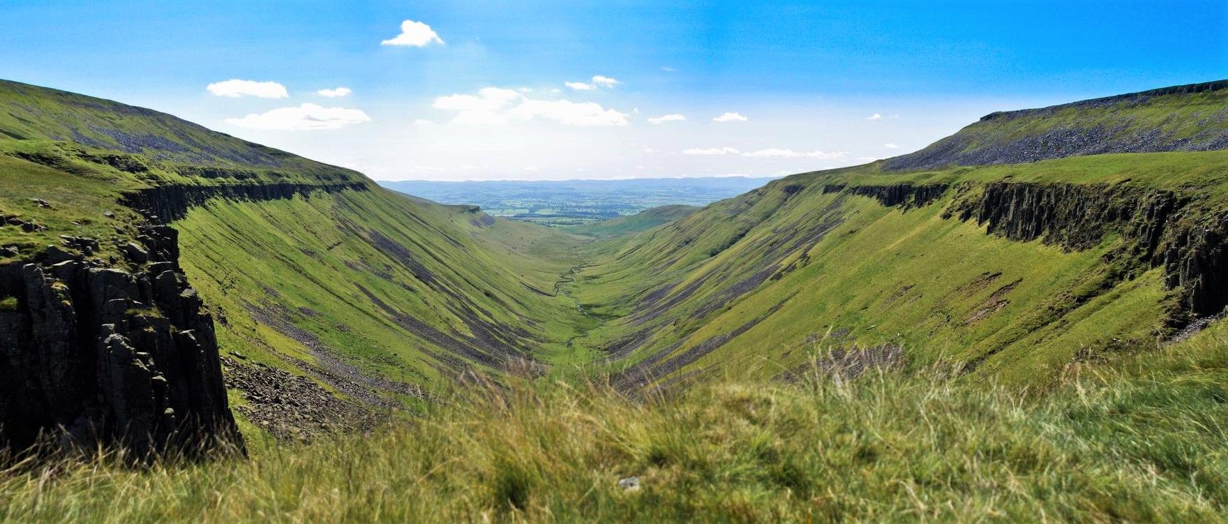
Teesdale Way — A riverside hike from wild Pennines to the North Sea
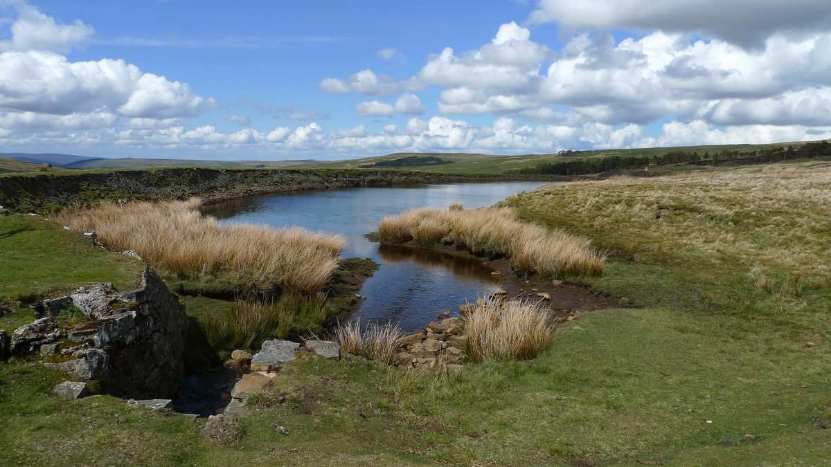
Isaac's Tea Trail — Walk the wild serenity of the North Pennines
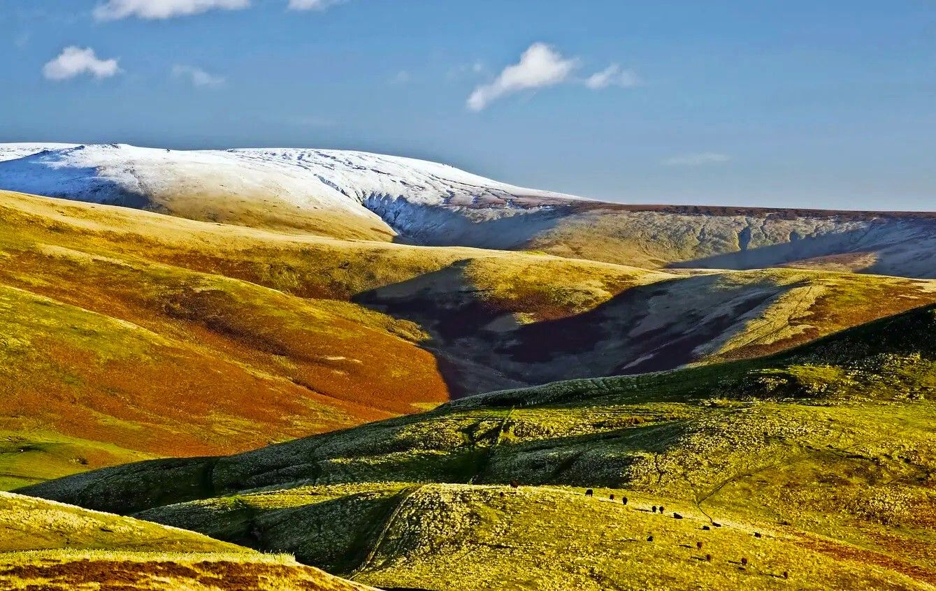
Pennine Way – Take on England's ultimate long-distance hike
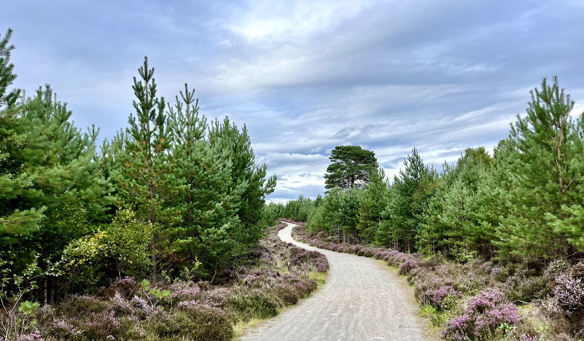
National Cycle Network Route 7 – Sunderland to Inverness
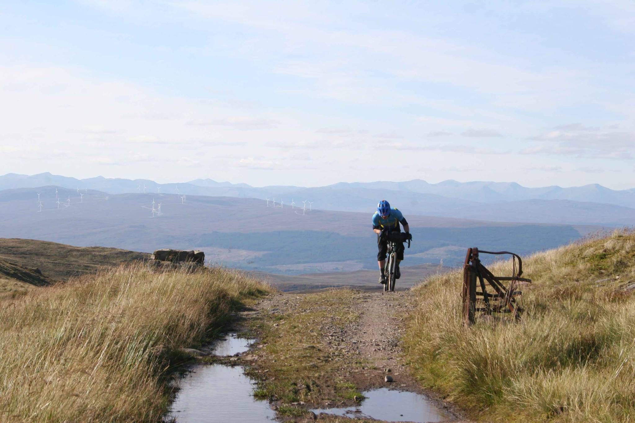
GB Divide — Great Britain end to end off-road on GBDURO

The Pennine Rally — Bikepacking Edinburgh to Manchester

GBDURO 2021 — Gravel racing Land's End to John O'Groats
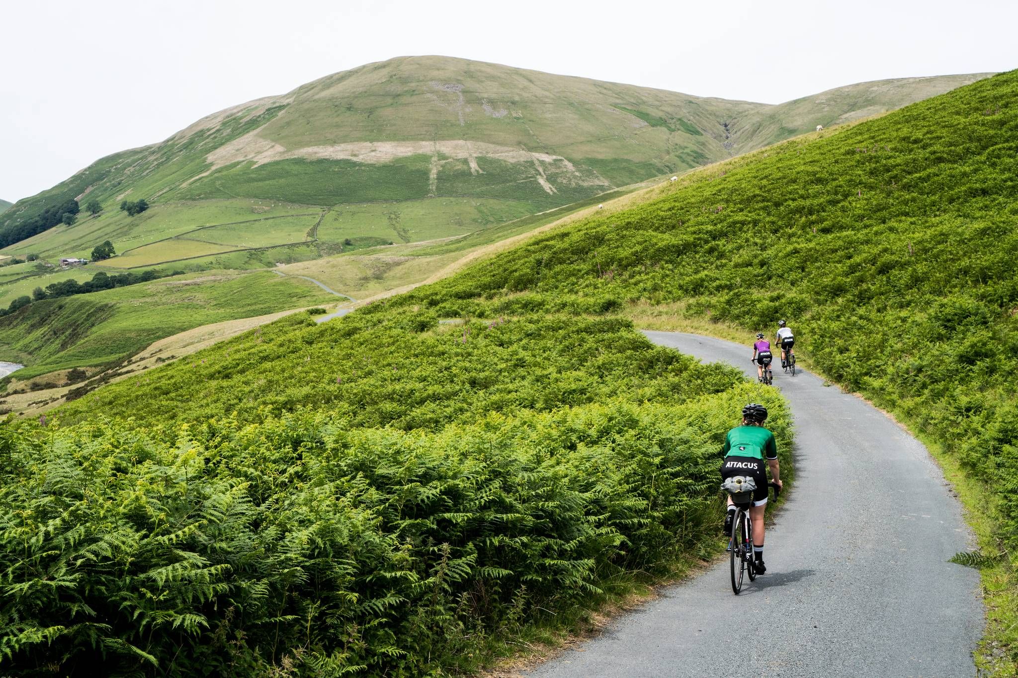
Pennine Cycleway – An epic adventure along the UK's toughest ride
Other adventures in North Pennines AONB


Tips from the Community

Amazing spacious beer garden at the rear with views of Dufton Pike
0
0


Dufton Pike is a super nice hill and a UK designated P100, a hill with a 100 metres of prominence. The views from the top looking up towards Backstone Edge is super nice. It is a nice short, sharp pull to get to the top, but well worth it. The top has an unmarked summit.
0
0
This is a lovely small peak to do; at 594 metres, it is not that high, but it climbs steeply from the car park on the outskirts of Murton. You can actually make a nice short loop by going up Murton Beck, which is quite gentle, and then come in from the north. There is the whitest of whitewashed trig point on top, with great views out towards Mell Fell to the SE and distant panoramas of the Lake District.
0
0

Above Weardale, between Frosterley and Wolsingham are a bunch of trees that are supposed to resemble an elephant. I think a few years ago, a storm caused damage to the trees and now a bit of imagination is needed.
1
0

Frequently Asked Questions
How many bus-accessible hiking trails are available in the North Pennines AONB?
There are over 170 hiking routes in the North Pennines AONB that are accessible from bus stations, offering a wide range of experiences. These include 52 easy routes, 103 moderate routes, and 16 more challenging options.
Are there any family-friendly bus station hikes in the North Pennines AONB?
Yes, many routes are suitable for families. For an easy and scenic option, consider the Westgate and Slitt Wood loop, which is around 7 km long and features gentle elevation changes. The region's diverse landscapes, from woodlands to riverside paths, offer engaging walks for all ages.
What kind of natural features can I expect to see on bus-accessible hikes?
The North Pennines AONB is renowned for its dramatic upland scenery, including expansive heather moorlands, peat bogs, and broad dales. You can encounter spectacular waterfalls like High Force and Low Force, and impressive geological formations such as High Cup Nick. Many routes also pass through flower-rich hay meadows and intimate woodlands, offering diverse natural beauty.
Are there any circular routes starting from bus stops?
Yes, many bus-accessible routes are circular, allowing you to return to your starting point without needing additional transport. For example, the Dufton Pike loop from Dufton is a moderate 7.2 km circular hike offering great views. Another option is the Grassholme Reservoir loop, a moderate 12.4 km trail.
What do other hikers say about the bus station trails in the North Pennines AONB?
The komoot community highly rates the trails in the North Pennines AONB, with an average score of 4.5 out of 5 stars from over 1,600 ratings. Hikers often praise the region's wild and unspoiled terrain, the variety of landscapes, and the accessibility of stunning natural features directly from public transport hubs.
Can I bring my dog on these bus-accessible hiking trails?
Generally, dogs are welcome on most public footpaths in the North Pennines AONB. However, it's crucial to keep them on a lead, especially when walking through farmland with livestock or during ground-nesting bird season (typically March to July) on moorland. Always check local signage for specific restrictions or guidance.
Are there any notable landmarks or points of interest along bus-accessible routes?
Yes, the region is rich in natural and historical landmarks. You can explore the dramatic glaciated valley of High Cup Nick, or visit reservoirs like Cow Green Reservoir and Grassholme Reservoir. The landscape also features remnants of its lead-mining past, adding a historical dimension to your walks.
What is the best time of year to hike from bus stations in the North Pennines AONB?
Spring and summer offer vibrant wildflowers and longer daylight hours, making them ideal for exploring. Autumn brings stunning colours to the landscape. While winter can be beautiful, some higher routes may be challenging due to snow and ice, so always check weather conditions and bus service updates before heading out.
Are there any routes that feature the famous waterfalls like High Force?
While specific bus routes to High Force can vary, many local bus services connect to villages and visitor centres in Upper Teesdale, such as Bowlees Visitor Centre. From there, you can often find well-marked footpaths leading to High Force and Low Force, allowing you to experience these spectacular waterfalls.
What kind of terrain should I expect on these bus-accessible hikes?
The terrain varies significantly across the North Pennines AONB. You can expect everything from well-maintained riverside paths and gentle woodland trails to more rugged moorland tracks and steeper ascents on fells. Many routes feature a mix of surfaces, including grassy paths, gravel tracks, and occasional rocky sections, reflecting the region's diverse geology.
Are there any longer, more challenging bus-accessible hikes for experienced hikers?
Yes, for those seeking a challenge, routes like the Five Pikes and the Elephant Trees loop from White Kirkley offer a moderate 14.7 km hike with significant elevation gain. The region also hosts sections of long-distance trails like the Pennine Way, which can be accessed from various bus stops for day-long excursions.
Most popular routes in North Pennines AONB
Most popular attractions in North Pennines AONB

Get inspired with the komoot mobile app


Explore more
Browse the best Hikes in other regions.
