The best hikes from bus stations in Landkreis Miesbach
4.5
(67657)
366,571
hikers
1,110
hikes
Bus station hiking trails in Landkreis Miesbach traverse a diverse landscape at the foothills of the Bavarian Alps. The region is characterized by rolling hills, dense forests, and alpine meadows, with prominent features including Lake Tegernsee and Lake Schliersee. Hikers can explore river valleys, such as the Schlierachweg, and ascend to various mountain summits. The terrain offers a range of elevations, from gentle lakeside paths to challenging mountain ascents.
Best bus station hiking trails in Landkreis Miesbach
- The most popular bus station hiking route is View of the Taubenstein – View of Rotwand loop from Spitzingsee, a difficult 8.7 miles (14.1 km) trail that takes 5 hours 50 minutes to complete. This route features significant elevation gain and panoramic views of the surrounding alpine landscape.
- Another top favourite among local hikers is Brecherspitz – View of Schliersee loop from Neuhaus, a difficult 6.2 miles (10.0 km) path. This trail offers challenging sections and rewards with expansive views over Lake Schliersee and the mountains.
- Local hikers also love the Josefsthal Waterfalls – View of the Spitzingsee loop from Neuhaus, a 5.8 miles (9.3 km) trail leading through varied terrain including waterfalls, often completed in about 2 hours 59 minutes.
- Hiking in Landkreis Miesbach is defined by the Bavarian Alps foothills, picturesque lakes like Tegernsee and Schliersee, and lush river valleys. The network offers options for various ability levels, from easy walks to challenging mountain ascents.
- The routes in Landkreis Miesbach are highly rated by the komoot community with an average score of 4.5 stars from over 58,000 reviews. More than 349,000 hikers have used komoot to explore Landkreis Miesbach's varied terrain.
Last updated: September 30, 2026
4.8
(895)
5,353
hikers
18.3km
06:30
950m
950m
Hard hike. Very good fitness required. Sure-footedness, sturdy shoes and alpine experience required.
4.8
(900)
4,546
hikers
14.0km
05:50
760m
760m
Hard hike. Very good fitness required. Mostly accessible paths. Sure-footedness required.

4.7
(297)
1,173
hikers
9.36km
03:00
380m
380m
Moderate hike. Good fitness required. Mostly accessible paths. Sure-footedness required.
4.8
(537)
2,496
hikers
10.1km
04:49
850m
850m
Hard hike. Good fitness required. Sure-footedness, sturdy shoes and alpine experience required.
4.7
(318)
1,654
hikers
9.68km
02:40
160m
160m
Moderate hike. Good fitness required. Easily-accessible paths. Suitable for all skill levels.
Get access to more routes and recommendations from other explorers.
Already have an account?
Our route recommendations are based on thousands of hikes, rides, and runs completed by other people on komoot.
Start today with a free account
Your next adventure awaits.
Popular around Landkreis Miesbach

Hikes from bus stations in Schliersee

Hikes from bus stations around Spitzingsee
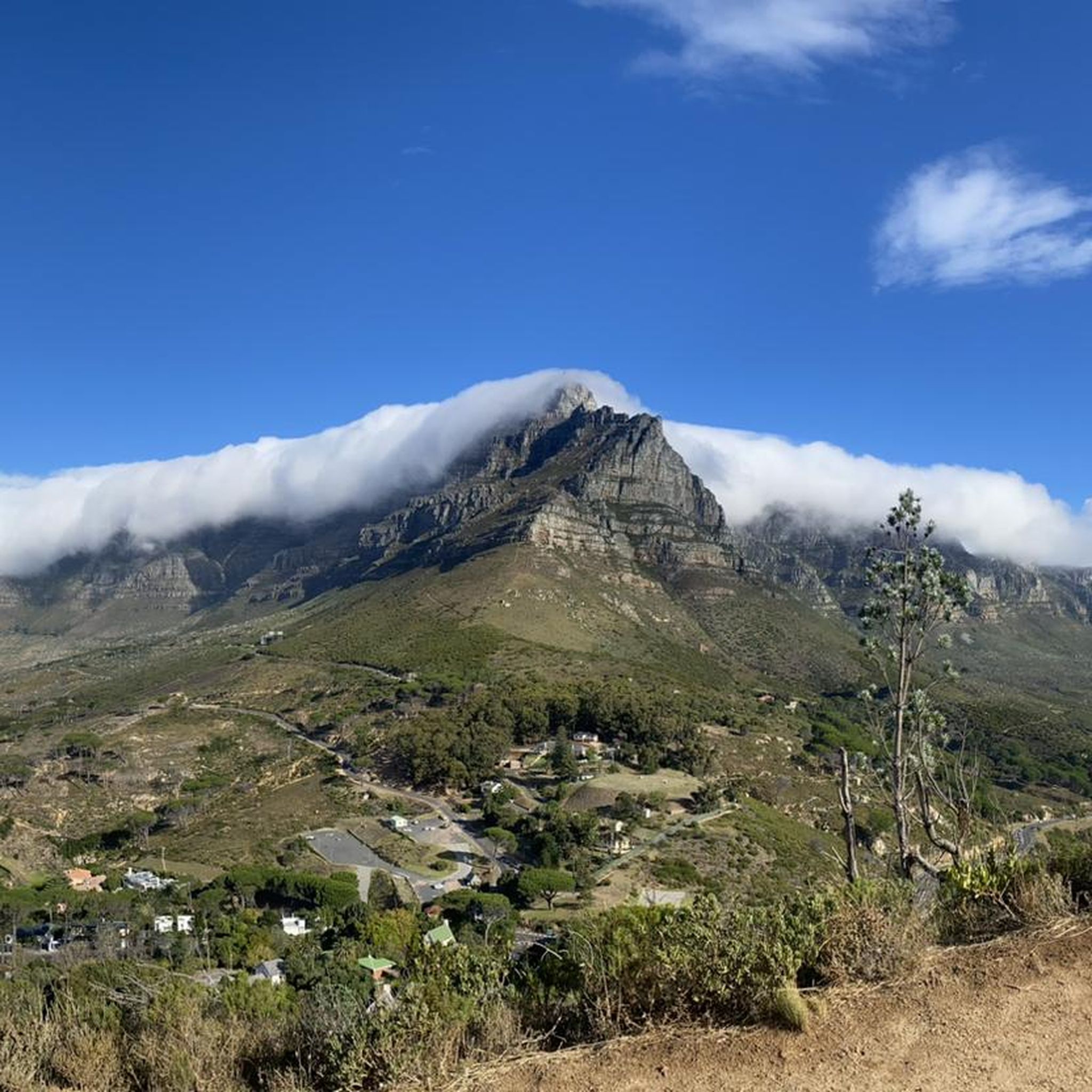
Hikes from bus stations around Bad Wiessee
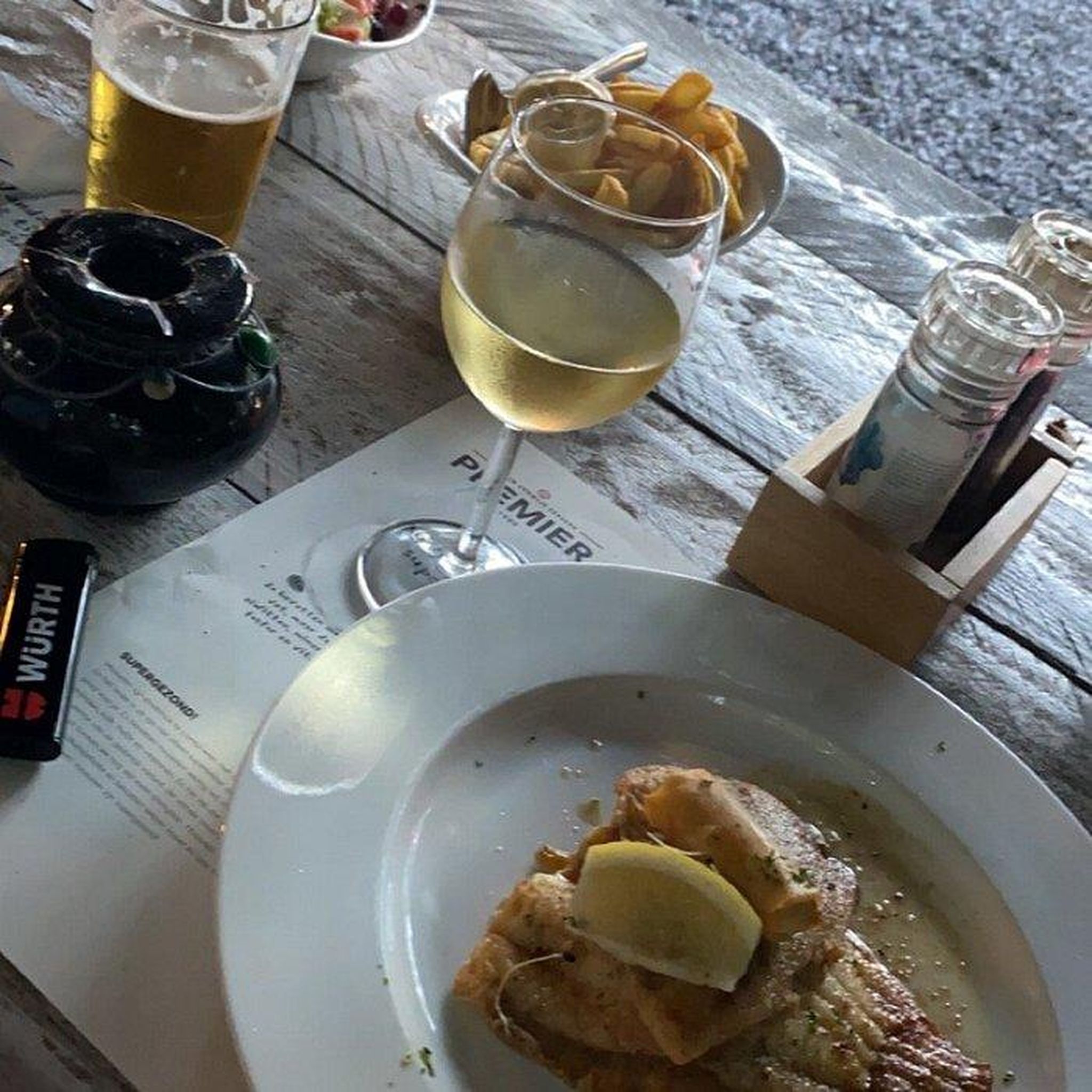
Hikes from bus stations around Tegernsee
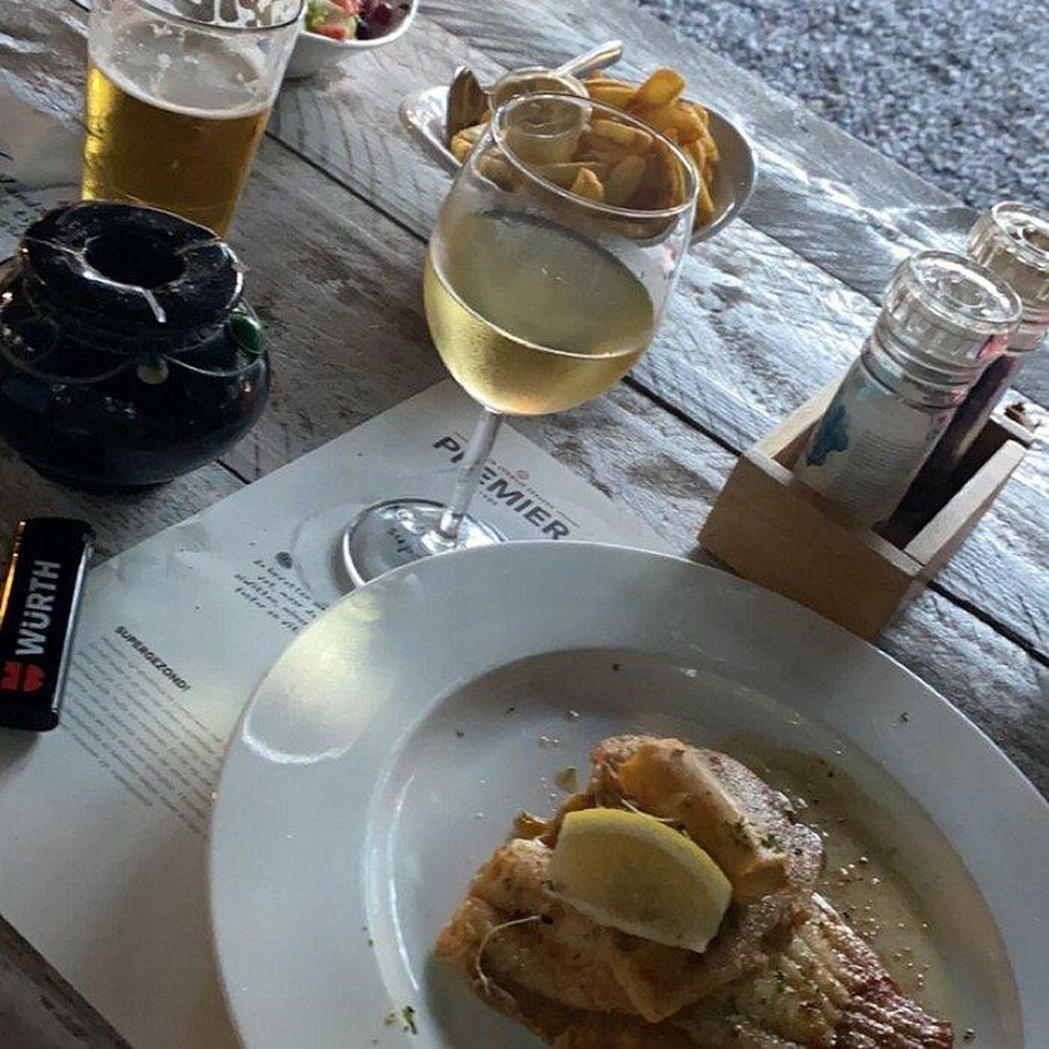
Hikes from bus stations around Tegernsee
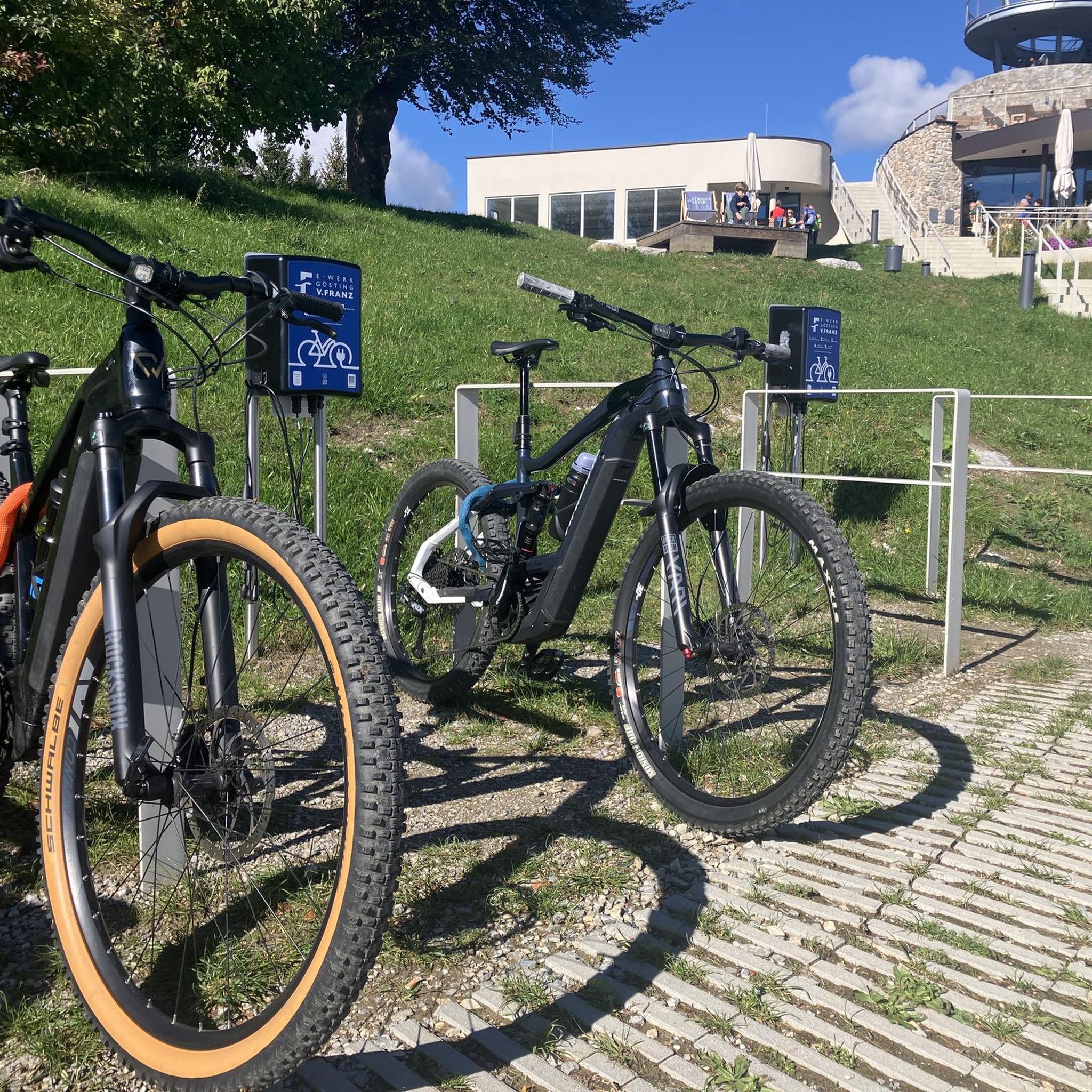
Hikes from bus stations around Schliersee
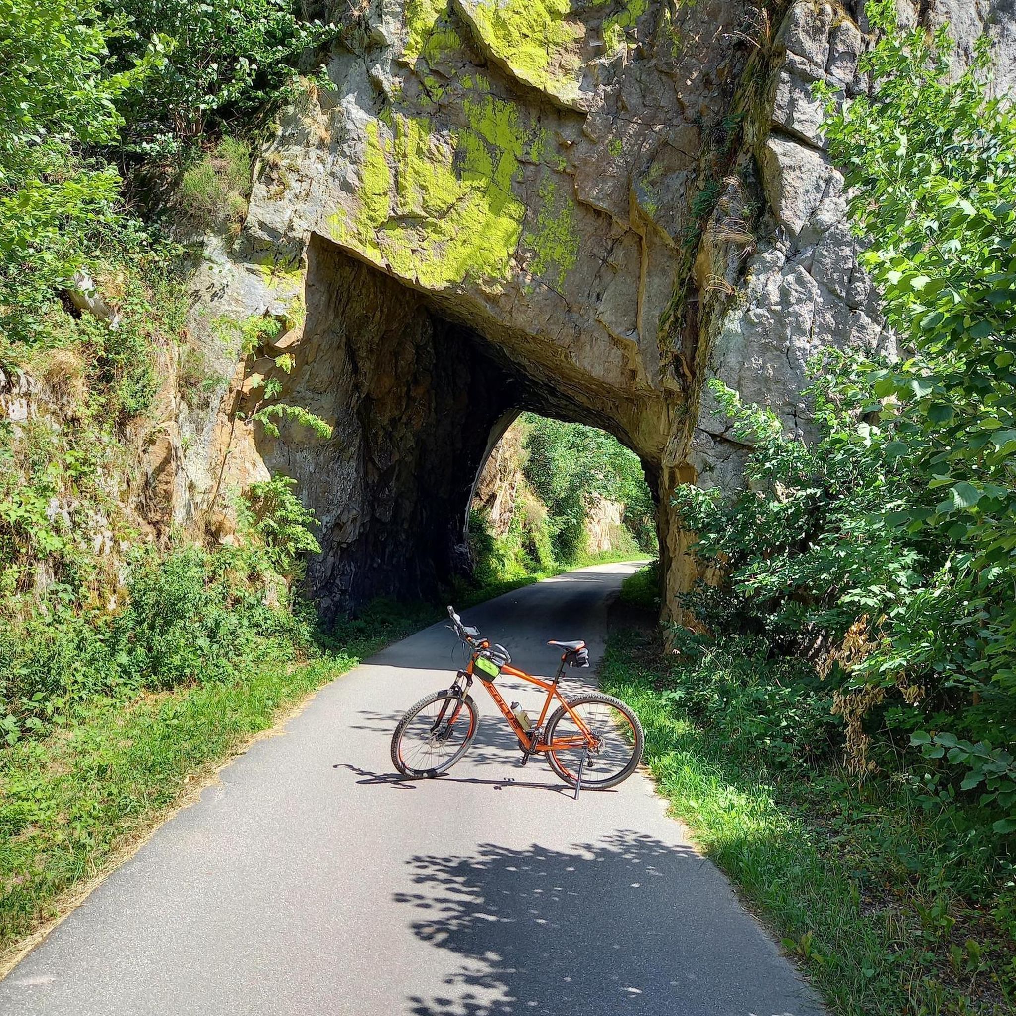
Hikes from bus stations around Holzkirchen
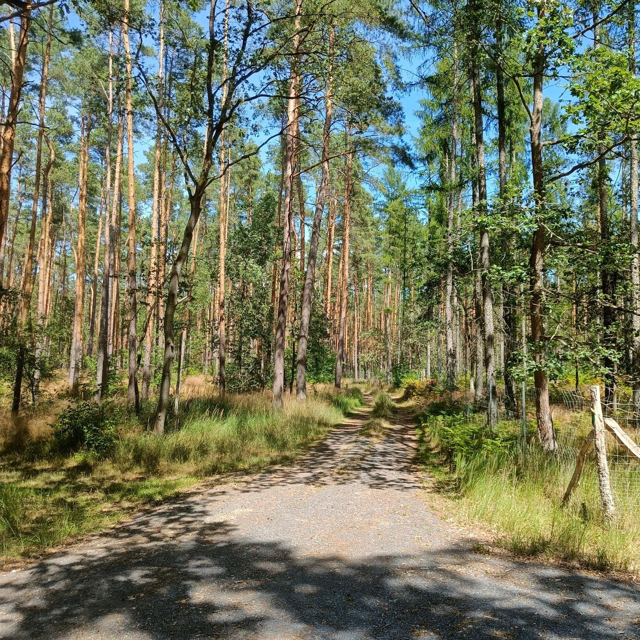
Hikes from bus stations around Seehamer Lake
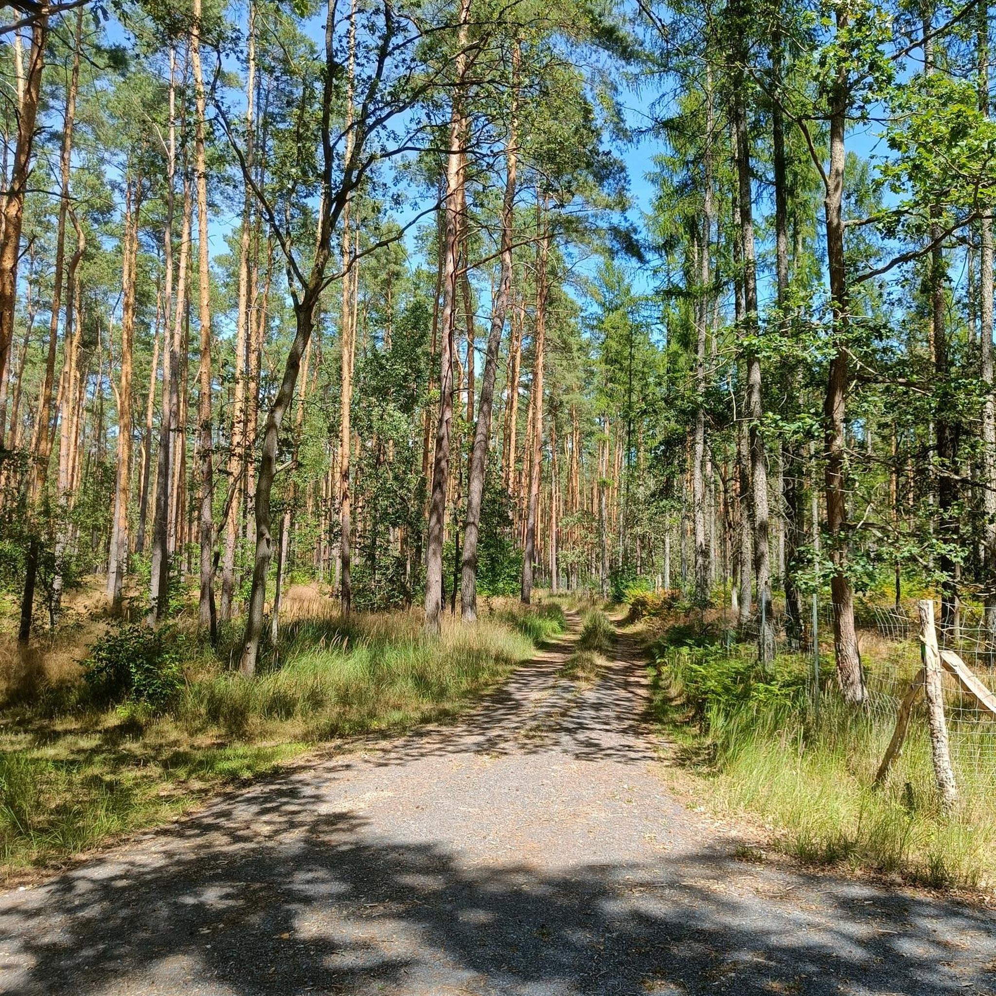
Hikes from bus stations in Seehamer See Mit Wattersdorfer Moor

Hikes from bus stations in Wildruhebereich Hausberg
Other adventures in Landkreis Miesbach


Tips from the Community

Those who want to reach the summit have to scramble a bit, not necessarily recommended when wet, but a fantastic view.
0
0
Breathtaking mountain scenery, there are always fascinating descents and panoramic views.
0
0

Beautiful hike past the Josefsthal waterfalls. Nicely shady, damp and pleasantly cool. Sturdy footwear recommended as it is partly very slippery.
0
0
Magnificent view of the Spitzingsee
0
0

Worth seeing, very famous and sometimes overcrowded.
0
0


The circular route across the alpine pastures is wonderful in both winter and summer. Especially when you then stop at the Albert-Link Hütte.
1
0
Frequently Asked Questions
How many bus station hiking trails are available in Landkreis Miesbach?
Landkreis Miesbach offers a vast network of over 1000 hiking trails accessible by bus. These routes cater to all levels, from leisurely strolls to challenging mountain ascents, ensuring there's an adventure for everyone.
What kind of landscapes can I expect on bus-accessible hikes in Landkreis Miesbach?
You can expect a diverse range of stunning natural landscapes. The region features the dramatic foothills of the Bavarian Alps, picturesque rolling hills, lush forests, and serene meadows. Highlights include the beautiful lake regions around Tegernsee and Schliersee, as well as trails within the Mangfallgebirge Nature Park.
Are there easy bus station hikes suitable for beginners in Landkreis Miesbach?
Yes, there are over 500 easy routes accessible by bus. Many trails around Miesbach and Warngau offer gentle routes with minimal elevation gain. The Schlierachweg, for instance, provides a leisurely hike along a beautiful river, connecting Miesbach to Schliersee, perfect for a relaxed outing.
Can I find challenging bus station hikes in Landkreis Miesbach?
Absolutely. For experienced hikers, there are over 120 difficult routes. Trails like the View of the Taubenstein – View of Rotwand loop from Spitzingsee offer significant elevation gain and require good fitness. Other challenging options include routes to summits like Wallberg, Brecherspitz, Gindelalmschneid, and Fockenstein, which reward with spectacular panoramic views.
Are there any bus-accessible hikes with waterfalls in Landkreis Miesbach?
Yes, you can discover beautiful waterfalls on bus-accessible routes. The Josefsthal Waterfalls – View of the Spitzingsee loop from Neuhaus is a moderate hike that takes you past the impressive Josefsthal Waterfalls, offering a refreshing natural spectacle.
What are some notable viewpoints or landmarks I can see on bus station hikes?
Many bus-accessible trails lead to breathtaking viewpoints and landmarks. You can enjoy the View over Lake Tegernsee and the Bavarian Alps, or visit the Wendelstein Summit for expansive vistas. The Summit cross on Gindelalmschneid and the Riederstein Chapel and view over Lake Tegernsee are also popular spots offering stunning scenery.
Are there circular bus station hikes available?
Yes, many bus-accessible routes are designed as circular hikes, allowing you to start and end at the same bus stop without needing to retrace your steps. Examples include the Brecherspitz – View of Schliersee loop from Neuhaus and the View of the Spitzingsee – Lake Spitzing loop from Spitzingsee.
What is the best time of year for bus station hikes in Landkreis Miesbach?
Spring and autumn are generally considered ideal for hiking in Landkreis Miesbach due to mild weather and beautiful scenery, with vibrant colors in autumn and blooming nature in spring. However, the region also offers opportunities for winter hiking and snowshoeing when conditions allow.
What do other hikers enjoy the most about hiking in Landkreis Miesbach?
The area is highly rated by the komoot community, with an average score of 4.5 stars. Reviewers often praise the diverse landscapes, from serene lake views like Lake Schliersee to challenging alpine ascents, and the well-maintained trails that make exploration enjoyable.
Are there bus station hikes suitable for families with children?
Yes, many routes are family-friendly. Easy hikes with minimal elevation gain, often found around Miesbach and Warngau, are suitable for children. The Schlierachweg is a good example of a gentle path that families can enjoy together.
Can I bring my dog on bus station hikes in Landkreis Miesbach?
Many trails in Landkreis Miesbach are dog-friendly, allowing you to enjoy the beautiful scenery with your canine companion. It's always advisable to keep dogs on a leash, especially in nature reserves or areas with livestock, and to check local regulations for specific routes.
Are there any bus-accessible routes that pass by lakes?
Yes, the region is famous for its beautiful lakes. You can find numerous bus-accessible routes that offer stunning views of Lake Spitzing, Lake Schliersee, and Lake Tegernsee. The View of Lake Schliersee – View of the Schliersee loop from Schliersee is a great example of a route showcasing lakeside beauty.
Most popular routes in Landkreis Miesbach
Most popular attractions in Landkreis Miesbach

Get inspired with the komoot mobile app


Didn’t find what you were looking for?
Check out more Hikes throughout Landkreis Miesbach below and find the perfect route in your destination.
