The best hikes from bus stations around Duisburg
4.5
(11897)
48,758
hikers
673
hikes
Bus station hiking trails around Duisburg offer a diverse landscape that blends natural areas with unique industrial heritage sites. The region features extensive parks, forests, and numerous waterways, including the Rhine and the Six Lakes Plateau. Terrain is generally flat with gentle elevation changes, providing accessible routes for various skill levels. Revitalized industrial complexes, such as Landschaftspark Duisburg-Nord, offer distinctive backdrops for exploration.
Best bus station hiking trails around Duisburg
- The most popular bus station hiking route is View of Wolfsee – Sandy beach at Wolfsee loop from Großenbaum, a 3.8 miles (6.1 km) trail that takes 1 hour 33 minutes to complete. This easy route offers views of Wolfsee and its sandy beach.
- Another top favourite among local hikers is Baerler Busch Forest Lake – Baerler Busch loop from Homberg/Ruhrort/Baerl, a moderate 7.5 miles (12.0 km) path. This route explores the natural scenery of Baerler Busch and its forest lake.
- Local hikers also love the Emscher Promenade – Landschaftspark Duisburg-Nord loop from Neumühl, a 5.7 miles (9.2 km) trail leading through the Emscher Promenade and the unique Landschaftspark Duisburg-Nord, often completed in about 2 hours 20 minutes.
- Hiking around Duisburg is defined by its blend of revitalized industrial sites, extensive natural reserves, and diverse waterways. The network offers options for different ability levels, from easy strolls to moderate excursions.
- The routes in Duisburg are highly rated by the komoot community with an average score of 4.5 stars from over 10,000 reviews. More than 45,000 hikers have used komoot to explore Duisburg's varied terrain.
Last updated: July 10, 2026
4.7
(791)
3,018
hikers
Easy hike. Great for any fitness level. Easily-accessible paths. Suitable for all skill levels.
4.7
(494)
1,407
hikers
Moderate hike. Good fitness required. Easily-accessible paths. Suitable for all skill levels.

Sign up for free
4.7
(120)
585
hikers
Moderate hike. Good fitness required. Easily-accessible paths. Suitable for all skill levels.
4.7
(221)
759
hikers
8.42km
02:08
20m
20m
Moderate hike. Good fitness required. Easily-accessible paths. Suitable for all skill levels.
4.8
(261)
998
hikers
5.73km
01:27
20m
20m
Easy hike. Great for any fitness level. Easily-accessible paths. Suitable for all skill levels.
Get access to more routes and recommendations from other explorers.
Sign up for free
Already have an account?
Our route recommendations are based on thousands of hikes, rides, and runs completed by other people on komoot.
Start today with a free account
Your next adventure awaits.
Login or Signup
Popular around Duisburg

Hikes from bus stations around Baerler Busch
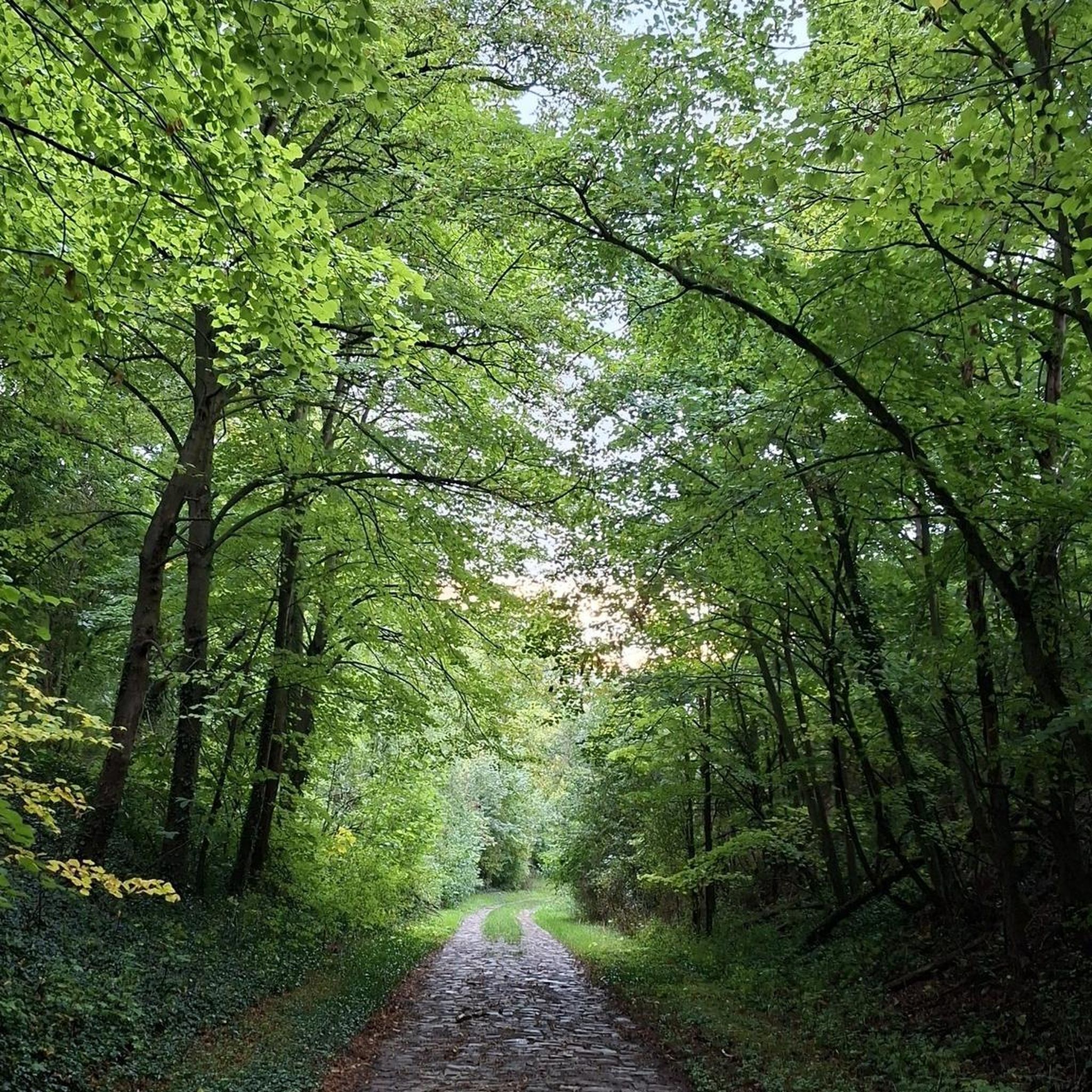
Hikes from bus stations around Regattabahn

Hikes from bus stations in Nsg Rheinaue Walsum
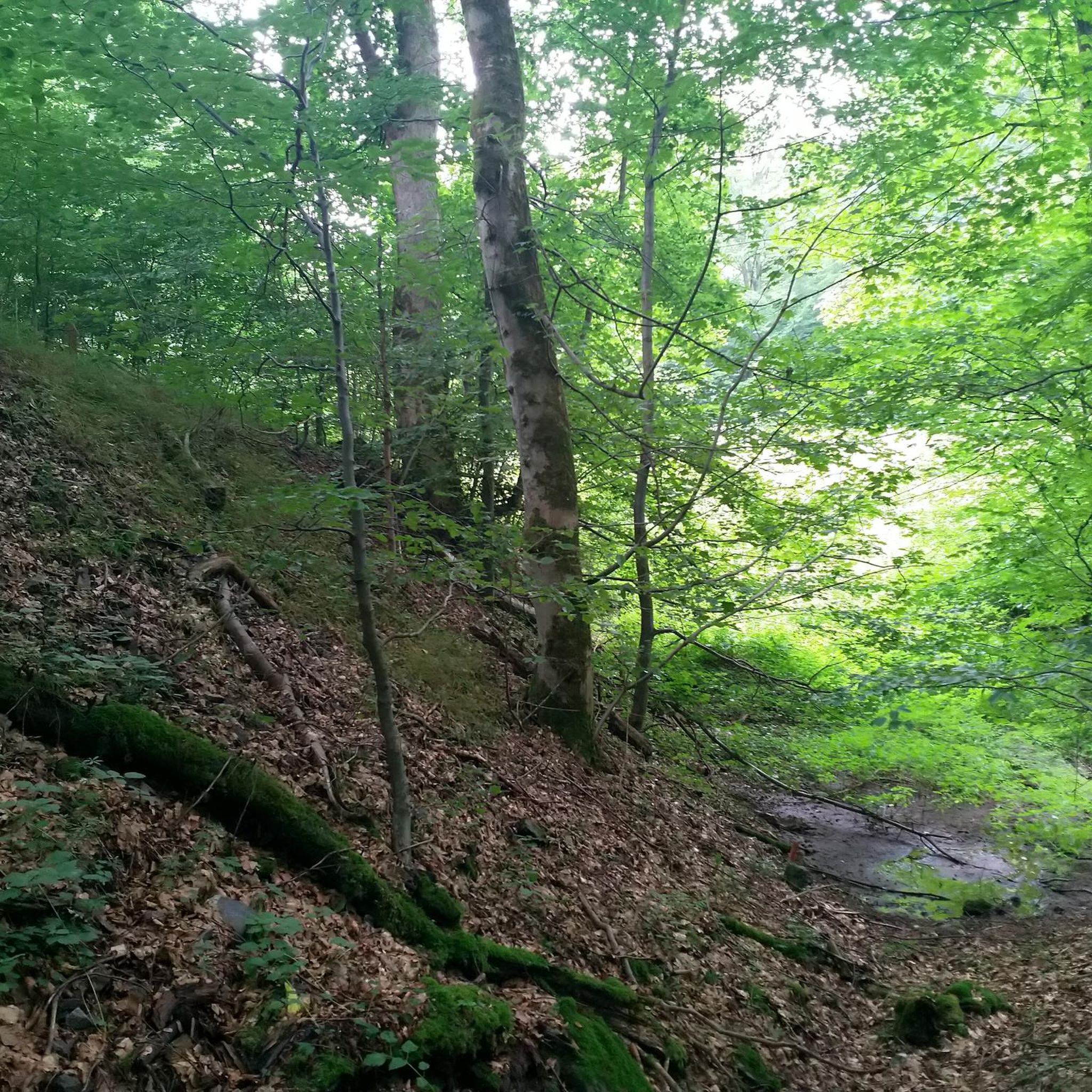
Hikes from bus stations around Wambachsee
Hikes from bus stations around Uettelsheimer Lake
Hikes from bus stations in Naturschutzgebiet Rheinaue Binsheim
Hikes from bus stations around Toeppersee

Hikes from bus stations around Kruppsee

Hikes from bus stations around Duisburger Stadtwald

The Rhine Cycle Path — From the source to the North Sea
Other adventures around Duisburg


Tips from the Community

A true treasure trove for photographers, boredom doesn't stand a chance here.
0
0

The Wildförstersee is located in the south of Duisburg and is part of the Sechs-Seen-Platte (Six Lakes Plateau), which also includes Wambachsee, Masurensee, Böllertsee, Wolfssee, and Haubachsee. The lakes, partly connected to each other, have a total water surface area of around 158 hectares. The area is designed to be close to nature and is crisscrossed by large forest areas that offer a dense network of hiking trails. All lakes can be circumnavigated via well-developed paths along the shores. At the Wildförstersee, targeted conservation and development measures for biotopes are implemented to promote local flora and fauna. While the southern area primarily offers tranquility and nature, the northern lakes are geared towards recreational activities. There, visitors will find playgrounds, sunbathing lawns, opportunities for rowing, sailing, surfing, canoeing, and diving, fishing spots, outdoor pools, boat rentals, barbecue areas, riding facilities, and a model boat harbor.
1
0
The Wolfssee is centrally located within the Sechs-Seen-Platte in Duisburg-Wedau and, like the other lakes, is an artificially created gravel pit lake. The recreational area itself is located in the Duisburg-Süd district and covers approximately 2.82 km². The six lakes – Wolfssee, Wambachsee, Masurensee, Böllertsee, Wildförstersee, and Haubachsee – together cover nearly 2 km² of water surface. The area is developed with an approximately 18 km long network of hiking trails and is best reached via the A3 motorway, exit Duisburg-Wedau. The lakes were created by gravel extraction by Count von Spee in the 20th century; the Haubachsee was only fully dredged in 2001. There are several bathing areas at the Wolfssee, with the natural outdoor swimming pool Wolfssee being one of the largest and featuring a 450-meter-long sandy beach. At other points along the shore, access to the water is more difficult due to steep banks or retaining structures. The body of water is a popular habitat for ducks and swans. Directly at the outdoor pool, there is a café-restaurant, a barbecue area, and a model boat harbor. Between April and October, the "Neufundländer Wasserarbeitsgruppe NRW e.V." trains with their dogs here on weekends. Between the Wolfssee and Haubachsee, the Wolfsberg was piled up between 1967 and 1974 on the remains of a former shooting range and ammunition depot. In 1996, a 21-meter-high wooden observation tower was built on its summit, which was replaced in 2002 after an arson attack by a 23-meter-high steel tower. This tower offers an impressive panoramic view and is one of the highest publicly accessible viewpoints in Duisburg, comparable to the Backelsberg near Haus Hartenfels and the Kaiserberg.
1
1

New Emscher estuary
1
0

Frequently Asked Questions
How many bus station hiking trails are available in Duisburg?
Duisburg offers a wide selection of hiking trails accessible by bus, with over 600 routes available. These range from easy strolls to more challenging paths, ensuring there's something for every hiker.
What do other hikers enjoy most about the bus-accessible trails in Duisburg?
The komoot community highly rates the hiking experience in Duisburg, with an average score of 4.5 stars from over 10,000 ratings. Hikers frequently praise the unique blend of industrial heritage and natural landscapes, particularly the well-maintained paths through green spaces and along waterways, all easily reachable by public transport.
Are there any easy, family-friendly bus station hikes in Duisburg?
Yes, Duisburg has many easy trails perfect for families. For a pleasant walk around a lake, consider the View of Wolfsee – Sandy beach at Wolfsee loop from Großenbaum. This easy 6 km route offers scenic views and a sandy beach, ideal for a relaxed outing.
Which bus-accessible trails offer scenic viewpoints or unique attractions?
For a truly unique experience, explore the trails around Duisburg-North Landscape Park. The Emscher Promenade – Landschaftspark Duisburg-Nord loop from Neumühl is a moderate 9.2 km route that takes you through this fascinating former industrial complex, where you can climb Blast Furnace 5 for panoramic views over the city and the Ruhr area.
Are there any circular routes accessible by bus from Duisburg?
Many bus-accessible trails in Duisburg are circular, allowing you to start and end at the same bus stop. The View of Lohheidesee – Lake Lohheide loop from Vierbaum is an easy 5.7 km circular hike that offers tranquil lake views, perfect for a refreshing walk.
What are some notable natural features or attractions to see along bus-accessible hikes?
Duisburg's trails often lead through diverse natural settings. You can discover the charming dyke landscape and rich flora of the Walsum Rhine Meadows Nature Reserve, or enjoy the green oasis of Mattlerbusch Regional Park with its biotopes and ponds. The city's 'Six Lakes Plateau' also offers beautiful lake views, such as those found on the Wolfsee loop.
Are there any bus-accessible trails that highlight Duisburg's industrial heritage?
Absolutely. The Emscher Promenade – Landschaftspark Duisburg-Nord loop from Neumühl is an excellent example, taking you directly through the transformed Landschaftspark Duisburg-Nord, where nature has reclaimed an impressive industrial landscape. You can also find trails that incorporate former railway lines, like sections of the HOAG Rail Trail.
Can I find longer, moderate bus-accessible hikes in Duisburg?
Yes, for those seeking a longer, moderate challenge, the Baerler Busch Forest Lake – Baerler Busch loop from Homberg/Ruhrort/Baerl is a great option. This 12 km route takes you through the scenic Baerler Busch, offering a more extended immersion in nature.
Are there any unique urban art or cultural trails reachable by bus?
For a blend of urban exploration and art, consider the Graffiti Tunnel loop from Walsum. This moderate 8.4 km route offers an interesting perspective on local street art and urban landscapes, easily accessible via public transport.
When is the best time of year to hike the bus-accessible trails in Duisburg?
The best seasons for hiking in Duisburg are spring and autumn. During these times, the weather is mild, and the natural scenery is at its most vibrant, whether it's the fresh greenery of spring or the rich colors of autumn foliage. Many trails are also enjoyable in summer and winter, depending on weather conditions.
Most popular routes around Duisburg
Most popular attractions around Duisburg

Get inspired with the komoot mobile app


Didn’t find what you were looking for?
Check out more Hikes throughout Duisburg below and find the perfect route in your destination.
Explore more
Browse the best Hikes in other regions.
