The best hikes from bus stations in Landkreis Regensburg
4.5
(16441)
74,620
hikers
2,489
hikes
Bus station hiking trails in Landkreis Regensburg traverse a diverse landscape characterized by the Bavarian Jura and the Vorderer Bayerischer Wald. The region features impressive rock formations, extensive juniper heaths, and numerous river valleys including the Danube, Altmühl, and Naab. Hikers can explore dense forests, gentle river meadows, and karst landscapes, often leading to panoramic views.
Best bus station hiking trails in Landkreis Regensburg
- The most popular bus station hiking route is Höllbach Wooden Bridge – Hölltal Rock Formations loop…
Last updated: September 30, 2026
4.7
(487)
1,491
hikers
10.1km
02:52
220m
220m
Moderate hike. Good fitness required. Mostly accessible paths. Sure-footedness required.
4.7
(339)
1,193
hikers
10.4km
03:08
220m
220m
Hard hike. Good fitness required. Sure-footedness, sturdy shoes and alpine experience required.

4.6
(232)
695
hikers
10.4km
03:05
240m
240m
Moderate hike. Good fitness required. Mostly accessible paths. Sure-footedness required.
4.8
(149)
454
hikers
Easy hike. Great for any fitness level. Easily-accessible paths. Suitable for all skill levels.
4.4
(154)
416
hikers
8.49km
02:31
250m
250m
Moderate hike. Good fitness required. Mostly accessible paths. Sure-footedness required.
Get access to more routes and recommendations from other explorers.
Already have an account?
Our route recommendations are based on thousands of hikes, rides, and runs completed by other people on komoot.
Start today with a free account
Your next adventure awaits.
Popular around Landkreis Regensburg
Hikes from bus stations in Kreuther Forst
Hikes from bus stations around Winzerer Höhen
Hikes from bus stations around Forstmühler Fost
Hikes from bus stations in Forstmühler Forst
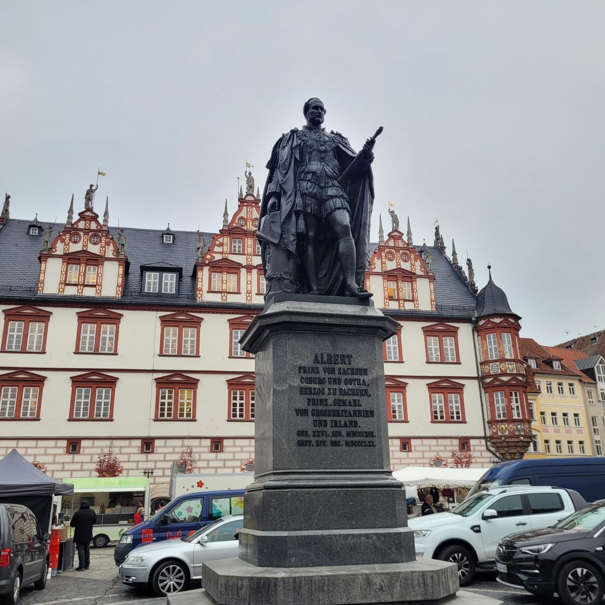
Hikes from bus stations around Donaustauf
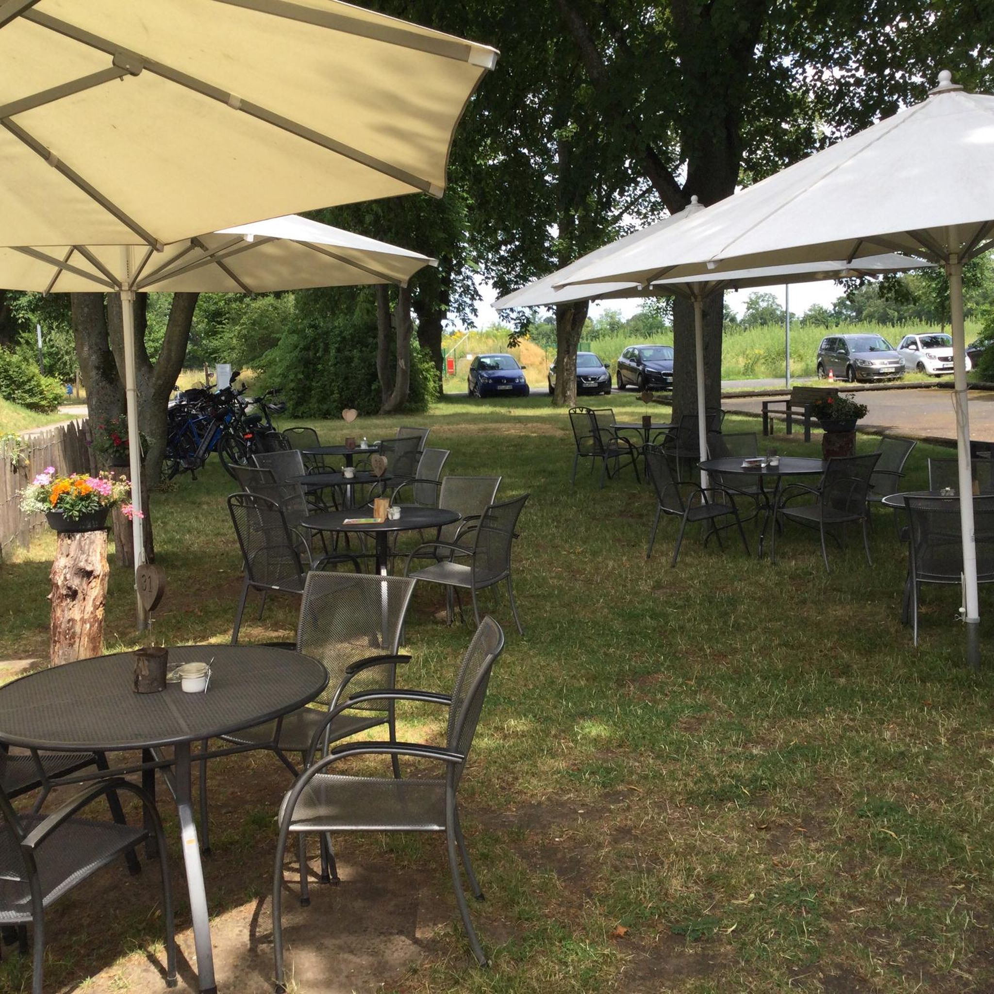
Hikes from bus stations around Wörth an der Donau

Hikes from bus stations around Sarchinger Weiher
Hikes from bus stations in Ehem. Standortübungsplatz Oberhinkofen
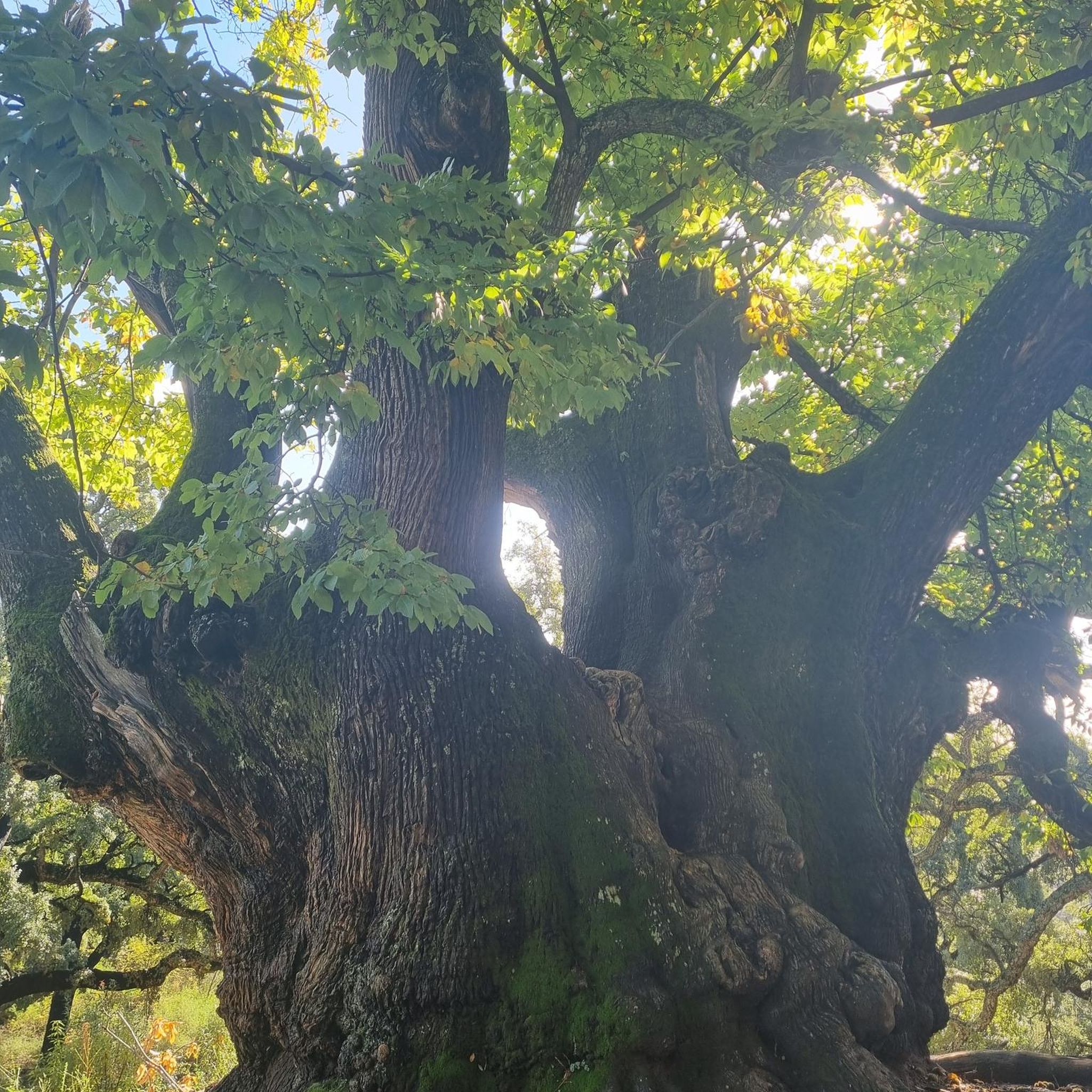
Hikes from bus stations in Pfatterer Au

Hikes from bus stations in Johannisholz
Other adventures in Landkreis Regensburg


Tips from the Community

Wonderful route guidance, I can only recommend it
0
0

A rustic wooden bridge, which slightly changes direction in the middle with a kink, leads here over the Höllbach stream. On days when the wooden planks are particularly slippery, the railing attached to one side provides a little more security.
9
0
Not only the granite block sea and the roaring stream of the Höllbach shape the nature reserve. Some open meadow areas also belong to it.
14
0
The Hölle nature reserve encompasses an approximately 600-meter-long section of the Höllbachtal valley in the Falkensteiner Vorwald with the surrounding forest areas. The block sea of bizarrely weathered granite blocks along the Höllbach, as this section of the Wiesent's upper course is called, is an approximately 7000 square meter sub-area of the nature reserve established in 1950. It is part of the European "Natura 2000" protected area network. In the shady, cool and moist climate even in summer, numerous animal and plant species worthy of protection have been preserved.
9
0
The Höllbach flows through a rocky valley in the Falkensteiner Vorwald, characterized by mighty gneiss and granite blocks piled on top of each other. During the last ice age, they weathered from the bedrock into a block sea. At this point, the rock appears in a particularly impressive form of "wollsack weathering" (sack weathering). The blocks are largely covered by mosses.
12
1
The Höllbach repeatedly roars over the granite blocks that nature has placed in its path.
14
0
Here begins the fantastic circular hiking trail through the "Hölle" nature reserve, which leads for long stretches along the Höllbach through the valley.
10
0
On this rustic wooden boardwalk, hikers can cross the Höllbach. The railing attached to one side provides a little security, especially when the planks are smooth and slippery in wet weather.
9
0
Frequently Asked Questions
How many bus-accessible hiking trails are there in Landkreis Regensburg?
Landkreis Regensburg offers a vast network of over 2,500 hiking trails easily reachable by bus, catering to all skill levels from easy strolls to more challenging routes. This extensive selection ensures you can find the perfect adventure without needing a car.
Are there easy hiking trails accessible by bus in Landkreis Regensburg?
Absolutely! Over 1,300 easy hiking trails in Landkreis Regensburg are accessible by bus, perfect for a relaxed outing. Many of these routes wind through the gentle river valleys of the Danube or Naab, offering pleasant walks without significant elevation changes. A great example is the House without a Roof (Kallmünz) – Kallmünz Castle Ruins loop from Kallmünz, which is an easy 4.9 km hike.
What kind of landscapes can I expect on bus-accessible hikes in Landkreis Regensburg?
You'll experience a diverse range of landscapes. The region features the 'wildly romantic' Bavarian Jura with its impressive rock formations, rocky river valleys, and extensive juniper heaths. You can also explore the vast forest areas of the Vorderer Bayerischer Wald, or enjoy scenic routes along the Danube, Altmühl, and Naab river valleys. Many trails offer breathtaking distant views, such as those from the Walhalla overlooking the Danube.
Are there any circular hiking routes that start and end at a bus station?
Yes, many of the bus-accessible trails in Landkreis Regensburg are circular routes, allowing you to return to your starting point without retracing your steps. For instance, the Höllbach Wooden Bridge – Hölltal Rock Formations loop from Brennberg is a moderate 10.1 km circular hike that offers beautiful natural scenery.
What interesting sights or landmarks can I see along these trails?
The trails often combine natural beauty with cultural insights. You can discover historical sites like the Kürn Castle, explore the picturesque village of Kallmünz with its castle ruins, or visit the famous Walhalla. Nature lovers will appreciate the Höllbach Valley (Hölle) Nature Reserve and impressive rock formations like the Eichenberg Rock Formations. Many routes also offer stunning viewpoints, such as the View of Regensburg and the Danube Valley from Keilstein.
Are there any dog-friendly bus-accessible hikes in the region?
Many trails in Landkreis Regensburg are suitable for hiking with dogs, especially those through forests and along river paths where they can enjoy the natural surroundings. Always check local regulations for specific areas, but generally, the diverse landscapes offer plenty of opportunities for you and your canine companion to explore together. The Rocks in the Stream – Otterbach Stream loop from Donaustauf (VGem) is a moderate 8.5 km option that could be enjoyable with a dog.
What do other hikers enjoy most about bus-accessible hiking in Landkreis Regensburg?
The komoot community highly rates the hiking experiences here, with an average score of 4.6 stars from over 14,300 ratings. Hikers often praise the region's diverse and picturesque landscapes, the well-maintained trails, and the seamless integration of natural beauty with historical and cultural attractions. The convenience of public transport access is also a frequently highlighted benefit.
Are there any longer, more challenging bus-accessible routes for experienced hikers?
Yes, for experienced hikers seeking a challenge, there are nearly 100 difficult routes accessible by bus. These often involve more significant elevation changes and cover longer distances, particularly in areas like the Bavarian Jura or the Fore-Bavarian Forest. The View of the Jura Rocks – Labertal Wall, Schönhofen loop from Schönhofen is a challenging 10.4 km route with over 200 meters of elevation gain.
Can I find trails that offer panoramic views?
Absolutely! Landkreis Regensburg is known for its stunning panoramic views. Many trails lead to elevated points, especially in the Bavarian Jura and along the Danube. For example, the View from Hohe Wand – View of the Jura Rocks loop from Eilsbrunn offers fantastic vistas over the landscape. The Walhalla also provides sweeping views of the Danube valley and the surrounding cultural landscape.
Are there any long-distance hiking trails in Landkreis Regensburg that are accessible by bus?
Yes, parts of renowned long-distance trails like the Jurasteig, the Donau-Panoramaweg, and the Goldsteig traverse Landkreis Regensburg. While these are extensive trails, many sections and stages are accessible via local bus services, allowing you to experience portions of these epic routes as day hikes. The Jurasteig, for instance, is a 230 km circular trail with 18 branching loops, many of which can be reached by public transport.
Most popular routes in Landkreis Regensburg
Most popular attractions in Landkreis Regensburg

Get inspired with the komoot mobile app


Didn’t find what you were looking for?
Check out more Hikes throughout Landkreis Regensburg below and find the perfect route in your destination.
Explore more
Browse the best Hikes in other regions.
