The best traffic-free bike rides around the Wipptal
4.5
(1831)
60,861
riders
5
rides
Road cycling around the Wipptal offers diverse terrain nestled between the Stubai Alps and Tux Alps, featuring alpine valleys, challenging mountain passes, and scenic river paths. The region is characterized by its dramatic alpine scenery, with routes often following the Sill stream. Cyclists encounter a mix of well-paved surfaces and secondary roads, providing varied riding experiences. High mountain passes like the Brenner Pass and Pennes Pass offer significant elevation gains and panoramic views.
Best no traffic road cycling routes around…
Last updated: September 30, 2026
4.6
(46)
1,248
riders
141km
07:15
2,170m
2,170m
Hard road ride. Very good fitness required. Some segments of this route may be unpaved and difficult to ride.
4.5
(2)
242
riders
16.2km
00:58
360m
360m
Moderate road ride. Good fitness required. Mostly well-paved surfaces and easy to ride.

4.3
(3)
259
riders
Moderate road ride. Good fitness required. Mostly well-paved surfaces and easy to ride.
4.3
(3)
167
riders
12.6km
00:45
290m
290m
Easy road ride. Great for any fitness level. Mostly well-paved surfaces and easy to ride.
5.0
(1)
7
riders
Moderate road ride. Great for any fitness level. Some segments of this route may be unpaved and difficult to ride.
Our route recommendations are based on thousands of hikes, rides, and runs completed by other people on komoot.
Start today with a free account
Your next adventure awaits.
Popular around Wipptal

Traffic-free bike rides around Obernberg am Brenner
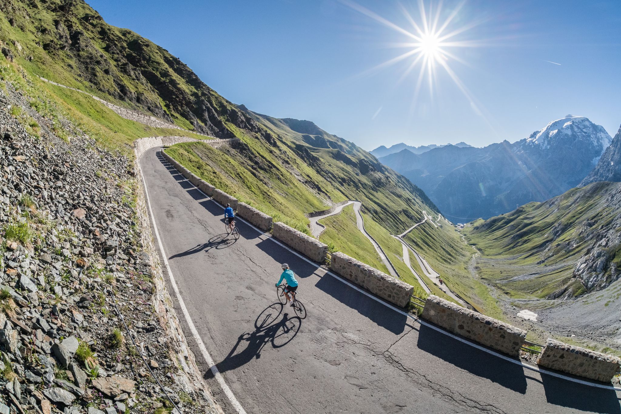
Road biking in South Tyrol
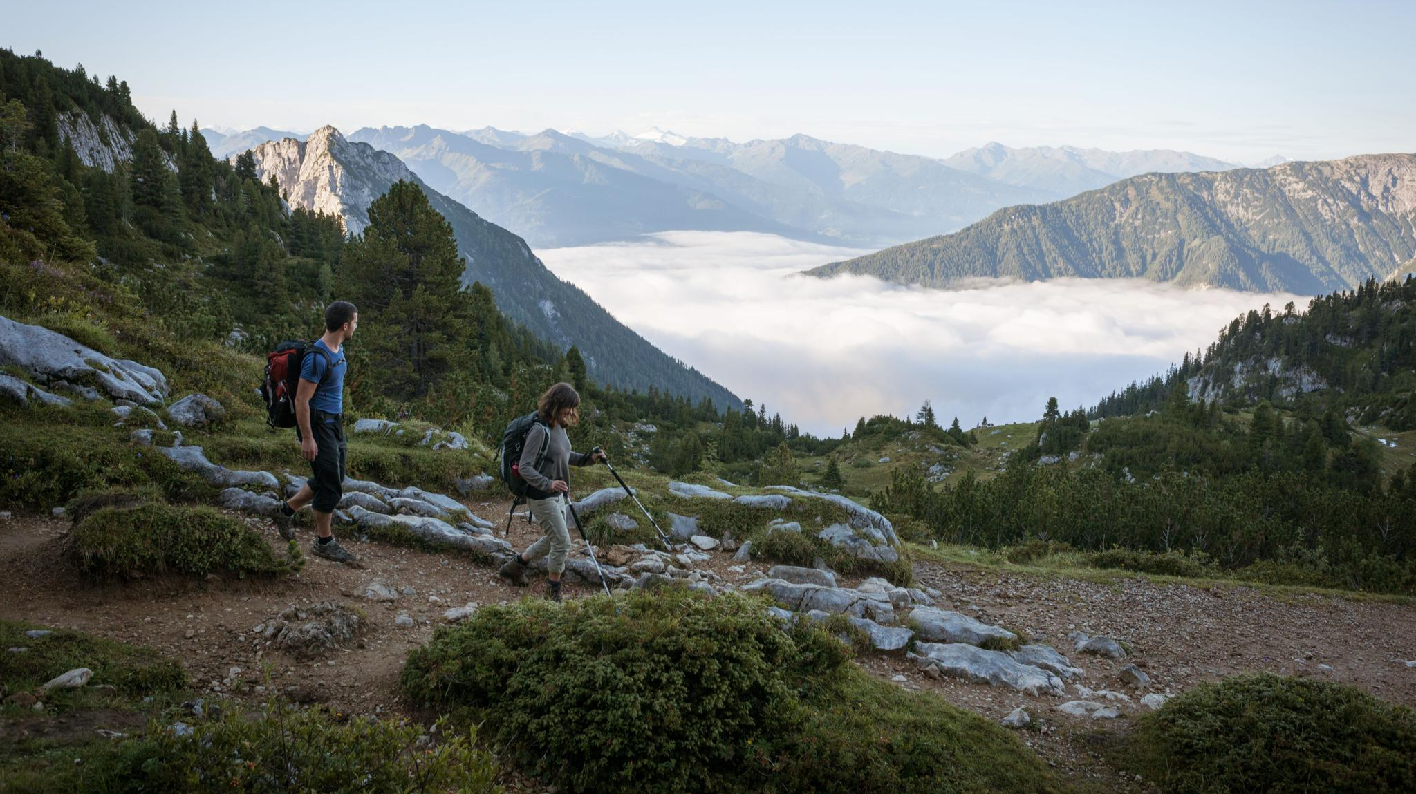
Eagle Walk – Majestic hiking along Tirol's trail

Via Venezia Alpina – hiking across the Alps to the Adriatic Sea
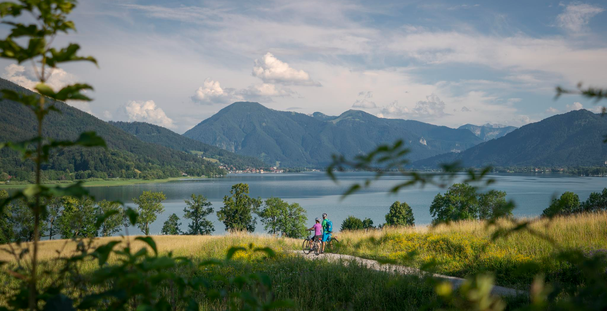
The Munich-Venice Long-Distance Cycle Path – A beautiful Alps crossing
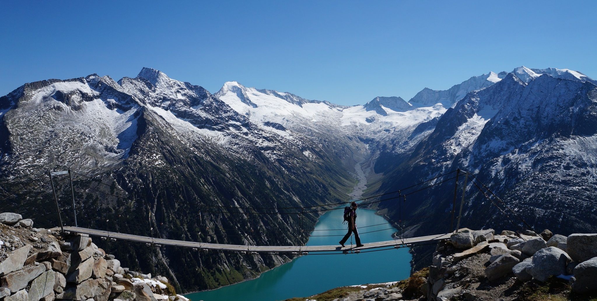
The Peter Habeler loop — an alpine trail around the Olperer
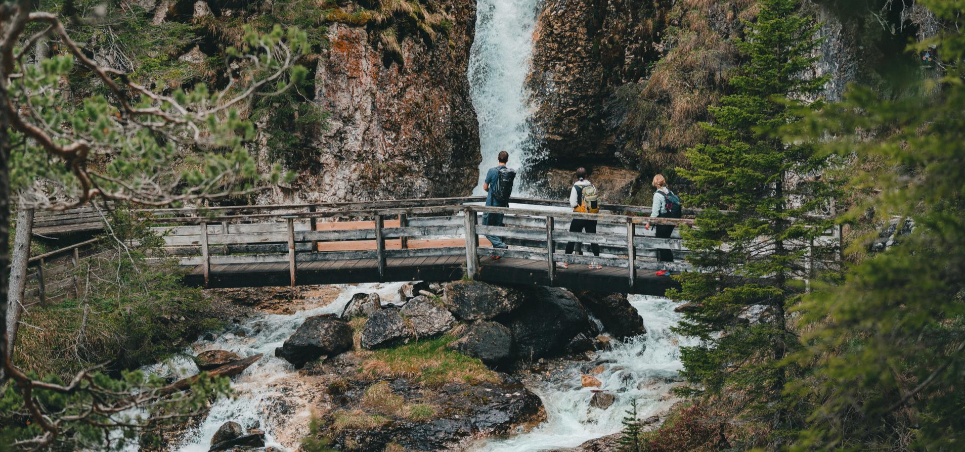
Idyllic mountain lakes and rushing waterfalls – hiking in the Wipptal
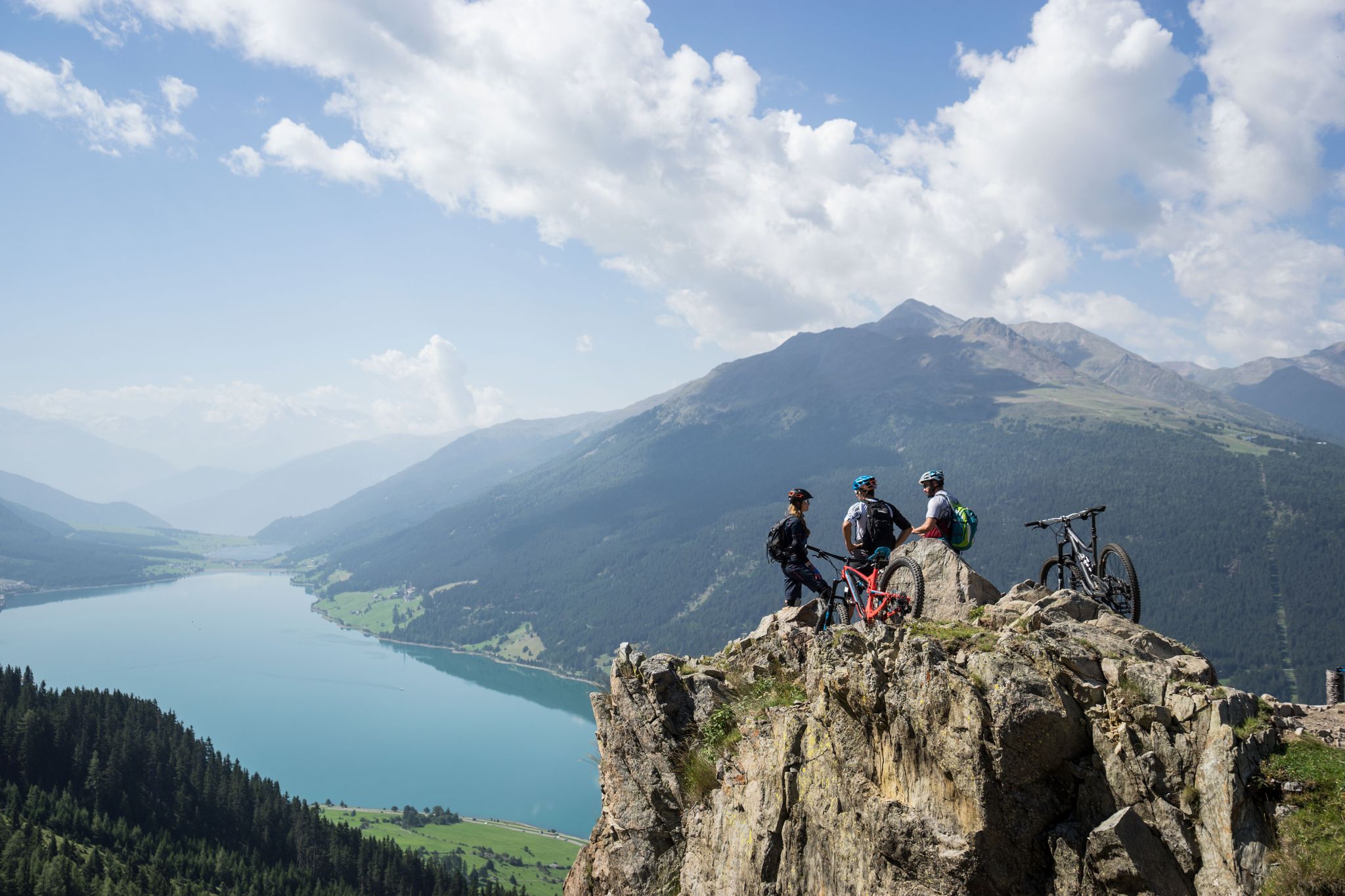
High into the Tyrolean mountain world – mountain biking in Tyrol
The most beautiful autumn hikes in Hall-Wattens
Pedals and Paths – Beautiful E-Bike & Hike Tours in the Wipptal
Other adventures around the Wipptal


Tips from the Community

Top cycle path through the Einsacktal
0
0
Top descent from the Brenner down to Sterzing
0
0

In winter, by bike, it's better to travel on Zwift
0
0

Inn - Three Countries - One River The Inn River connects Switzerland, Austria, and Germany. It rises in the Swiss Engadine, flows through parts of Austria and Bavaria, and flows into the Danube near Passau. Its catchment area, at over 26,000 square kilometers, is the second largest in Austria. Numerous settlements have developed along its course. The Inn River is the central lifeline of these regions. The Inn River rises at an altitude of 2,484 meters in the Swiss canton of Graubünden at the Lunghin Pass near Maloja, near Lake Lunghin. From there, it plunges as a small mountain stream almost 700 meters into the valley, where it flows into Lake Sils. On its further course, the Inn flows through Lake Silvaplana/Champère and Lake Moritz. The Flaz River flows into the Inn near the municipality of Samedan. This tributary carries large amounts of suspended solids from the Bernina Massif into the Inn. In the Lower Engadine, the Inn flows through several gorges with a significantly steeper gradient. Due to the diversion of large portions of its runoff for energy generation, the wild river has regained the character of a small mountain stream in places. Text / Source: WWF Tirol, Brixnerstrasse 4/9, Innsbruck https://www.unser-inn.at/der-inn/flusslauf/#:~:text=The Inn connects the countries of Switzerland and Austria, and, with an area of over 26,000 square kilometers, is the second largest in Austria.
15
0

The colorful houses simply put you in a good mood whatever the weather; subtle splashes of color that are simply beautiful
3
0
Beautiful view of the old town, just enjoy and let it work
2
0

Aster Tunnel as an old loop of the Brenner Railway
0
0

Beautiful cycle path with several tunnels
0
0
Frequently Asked Questions
How many no traffic road cycling routes are available in Wipptal?
Komoot offers a selection of 4 dedicated no traffic road cycling routes in the Wipptal region. These routes are carefully curated to provide a serene cycling experience away from vehicle traffic.
What is the typical difficulty level of no traffic road cycling routes in Wipptal?
The no traffic road cycling routes in Wipptal cater to various skill levels. You'll find 1 easy route, 2 moderate routes, and 1 difficult route, ensuring there's an option whether you're looking for a relaxed ride or a more challenging ascent.
What kind of terrain can I expect on these car-free road cycling routes in Wipptal?
Wipptal's car-free road cycling routes offer a diverse terrain. You can expect well-paved surfaces through scenic alpine valleys, often following river paths like the Sill stream. Some routes may include secondary roads with minimal traffic, providing a mix of gentle stretches and more demanding sections with elevation gain as you explore the foothills of the Stubai and Tux Alps.
When is the best time of year to enjoy car-free road cycling in Wipptal?
The cycling season in Wipptal generally runs from spring through autumn. The warmer months, typically May to September, offer the most pleasant conditions for road cycling, with clear roads and vibrant alpine scenery. Always check local weather conditions before heading out, especially for higher elevation routes.
Are there any circular no traffic road cycling routes in Wipptal?
Yes, several no traffic road cycling routes in Wipptal are designed as loops, allowing you to start and end at the same point. For example, the challenging Panoramic View of Colle Isarco – Descent to Vipiteno loop from Ridnaun - Ridanna offers a substantial circular ride, while the Bridge over the Ridanna River loop from Mareit - Mareta provides a moderate circular option.
What scenic points or natural landmarks can I see along no traffic road cycling routes in Wipptal?
While cycling these routes, you'll be surrounded by the stunning alpine landscape of Wipptal. Keep an eye out for picturesque valleys and river views. You might also consider exploring nearby natural highlights such as Lake Obernberg or the dramatic Obernberg Valley, which are popular attractions in the region.
Are there options for beginners or families looking for easy, car-free road cycling routes?
Absolutely. For those seeking an easier, family-friendly experience, the Wipptal offers routes like the Golden Roof (Goldenes Dachl) – Innsbruck Old Town loop from Innsbruck Messe. This route is rated as easy and provides a pleasant ride with minimal elevation, perfect for a relaxed outing.
Is parking available near the starting points of these no traffic road cycling routes?
Many starting points for road cycling routes in Wipptal, especially those near towns or popular access points, offer designated parking facilities. It's advisable to check specific route details on komoot for recommended parking locations before your trip.
Can I access these no traffic road cycling routes using public transport?
Wipptal is well-connected by public transport, particularly along the main valley connecting Innsbruck and the Brenner Pass. Many routes are accessible from train stations or bus stops, making it convenient to reach your starting point without a car. For example, routes around Innsbruck, such as the Innsbruck Old Town – Inn Bridge, Innsbruck loop from Innsbruck Hötting, are easily reachable via public transport.
What do other road cyclists enjoy the most about road cycling in Wipptal?
The komoot community highly rates the Wipptal region for road cycling, with an average score of 4.4 stars. Reviewers often praise the breathtaking alpine scenery, the variety of routes from gentle valley rides to challenging mountain passes, and the opportunity to cycle on quiet, well-maintained roads away from heavy traffic. The combination of natural beauty and diverse terrain makes it a favorite among cyclists.
Are there places to stop for refreshments or accommodation along the no traffic road cycling routes?
Yes, Wipptal offers numerous opportunities for refreshment and accommodation. Along many routes, especially in or near villages, you'll find traditional inns, cafes, and restaurants. For a unique experience, consider stopping at mountain huts like Sattelbergalm or Naviserhütte, which are popular among outdoor enthusiasts and often accessible from nearby cycling paths.
Most popular routes around the Wipptal
Most popular attractions around the Wipptal

Get inspired with the komoot mobile app


Didn’t find what you were looking for?
Check out more Road cycling routes throughout Wipptal below and find the perfect route in your destination.
Explore more
Browse the best Road cycling routes in other regions.
