The best hikes from bus stations around Altenberg
4.7
(7032)
26,310
hikers
468
hikes
Bus station hiking trails around Altenberg are situated in Germany's Osterzgebirge (Eastern Ore Mountains), a region characterized by dense woodlands and varied terrain. The landscape features prominent peaks like Geisingberg and Kahleberg, along with clear lakes such as the Great Galgenteich and Geisingsee. Hikers can explore river valleys and discover natural features like the Tiefenbach Waterfall, offering a mix of gentle paths and more demanding climbs.
Best bus station hiking trails around Altenberg
- The most popular bus station hiking route is 3-Peak Tour, a difficult 11.5 miles (18.6 km) trail that takes 5 hours 13 minutes to complete. This route offers significant elevation gain across three distinct peaks.
- Another top favourite among local hikers is Bench With a View of Zinnwald – Oberbärenburg Observation Tower loop from Weißeritzwiesen Schellerhau, a moderate 7.3 miles (11.7 km) path. This trail leads to an observation tower, providing expansive panoramic views of the surrounding area.
- Local hikers also love the Great Galgenteich – Viewpoint on the Kahleberg loop from Altenberg, a 4.4 miles (7.0 km) trail leading through scenic lake areas and up to a viewpoint, often completed in about 1 hour 59 minutes.
- Hiking around Altenberg is defined by dense forests, prominent peaks, and clear lakes. The network offers options for various ability levels, from leisurely strolls around water bodies to challenging mountain ascents.
- The routes in Altenberg are highly rated by the komoot community with an average score of 4.7 stars from more than 6,600 reviews. Nearly 25,000 hikers have used komoot to explore Altenberg's varied terrain.
Last updated: July 10, 2026
4.8
(209)
588
hikers
18.6km
05:13
390m
390m
Hard hike. Very good fitness required. Mostly accessible paths. Sure-footedness required.
4.7
(112)
392
hikers
Moderate hike. Good fitness required. Mostly accessible paths. Sure-footedness required.

Sign up for free
4.8
(150)
472
hikers
Easy hike. Great for any fitness level. Easily-accessible paths. Suitable for all skill levels.
4.7
(145)
540
hikers
7.03km
01:59
150m
150m
Easy hike. Great for any fitness level. Easily-accessible paths. Suitable for all skill levels.
4.7
(103)
298
hikers
11.8km
03:13
170m
170m
Moderate hike. Good fitness required. Easily-accessible paths. Suitable for all skill levels.
Get access to more routes and recommendations from other explorers.
Sign up for free
Already have an account?
Our route recommendations are based on thousands of hikes, rides, and runs completed by other people on komoot.
Start today with a free account
Your next adventure awaits.
Login or Signup
Popular around Altenberg

Hiking with heart in the Ore Mountains
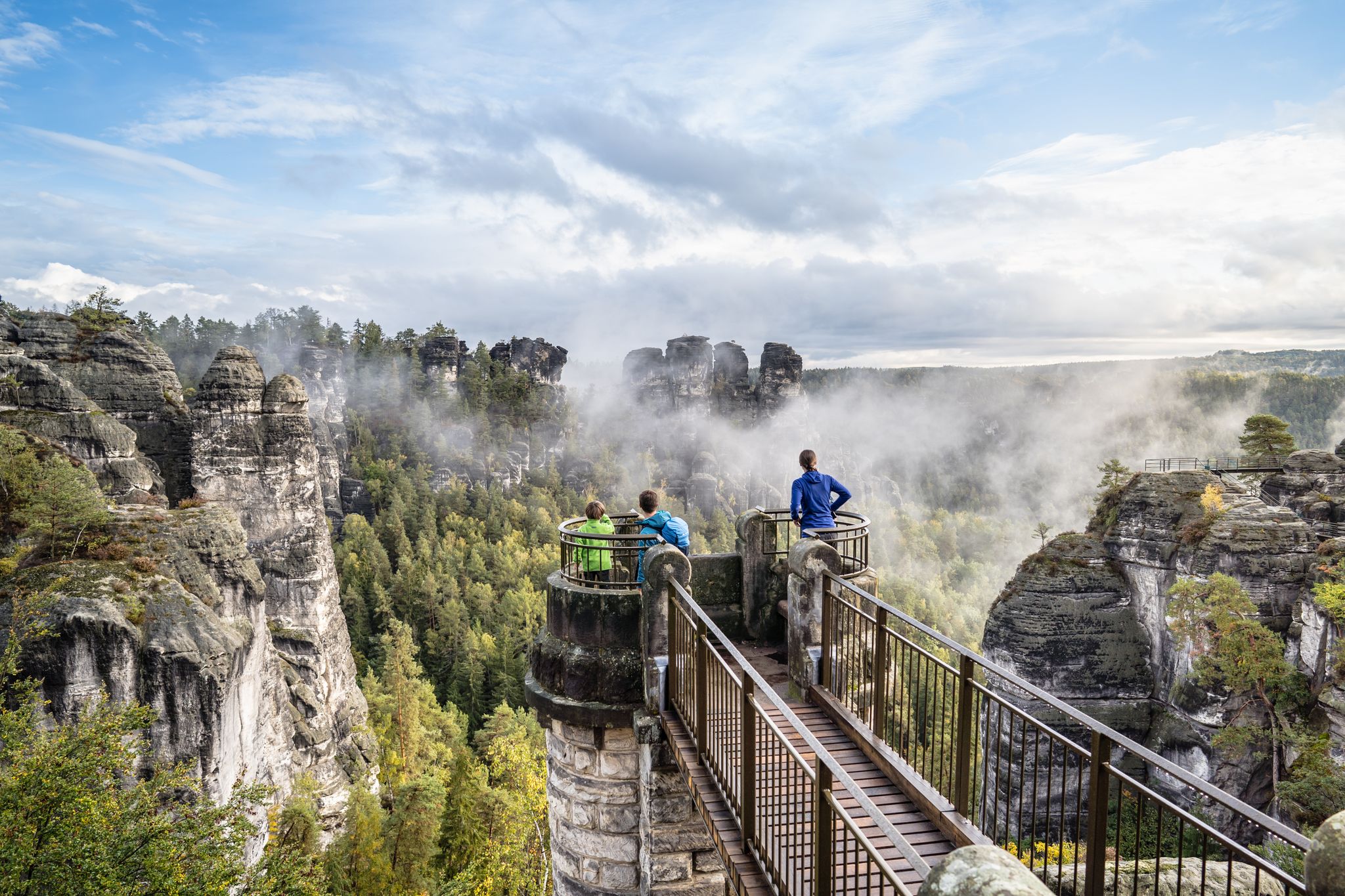
Natural wonders of Saxony – hiking with the wow factor
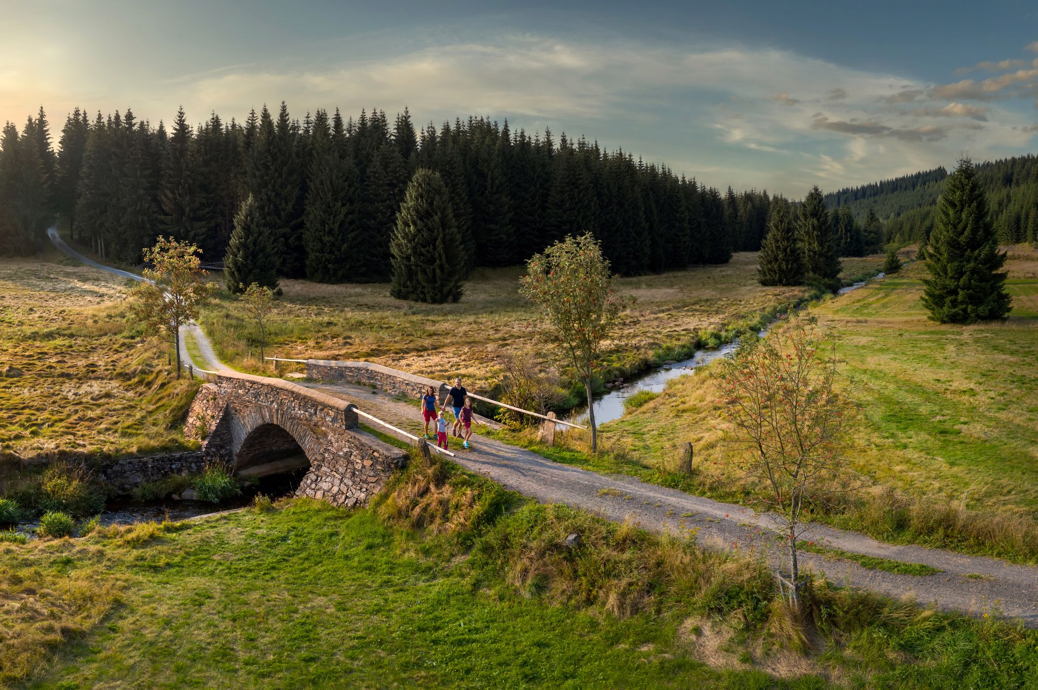
‘Good luck’ in the hiking paradise of the Ore Mountains
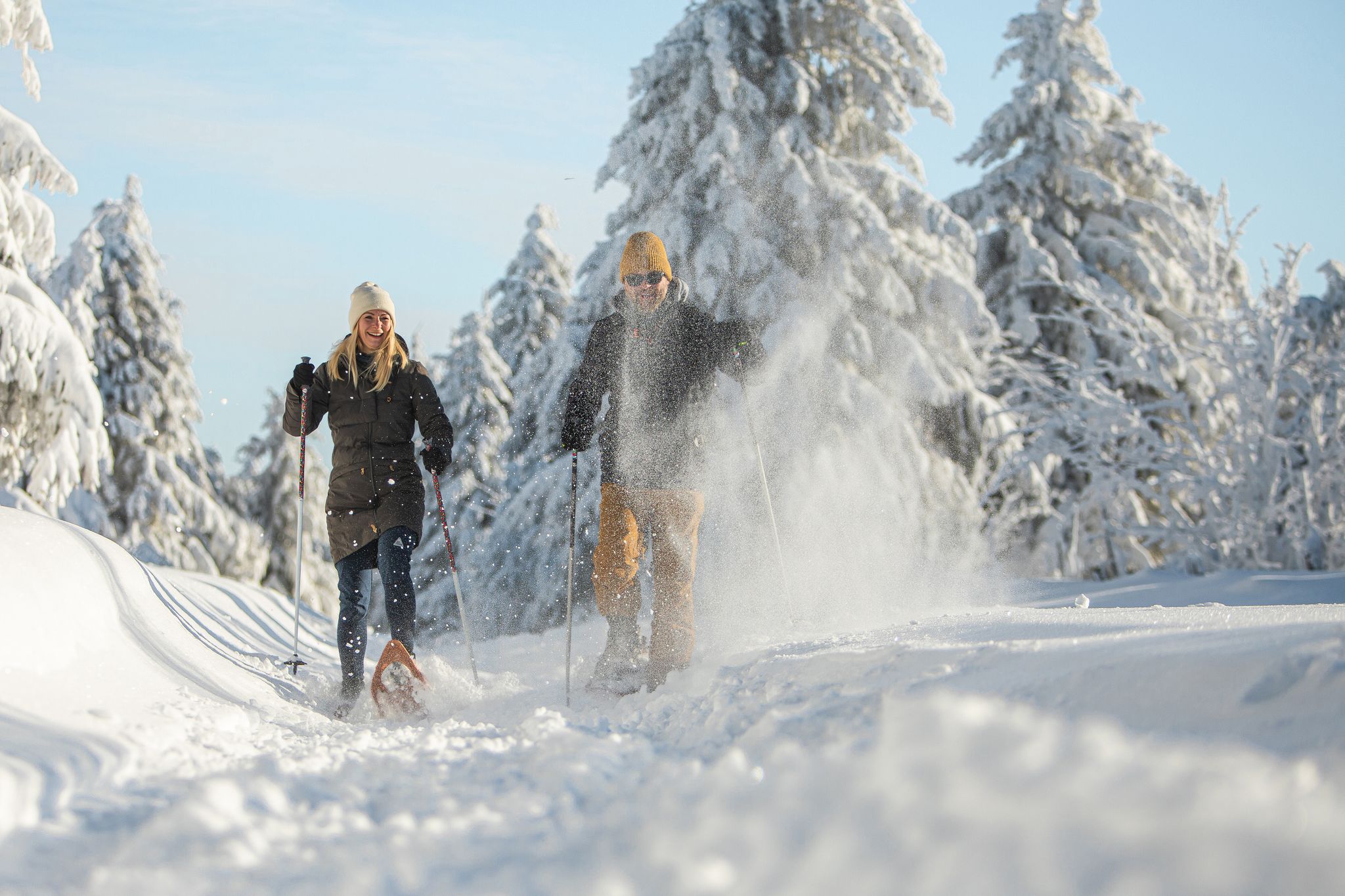
Glittering slopes and forests - winter hiking in the Ore Mountains

History meets nature – Erzgebirge-Vogtland Ridge Trail
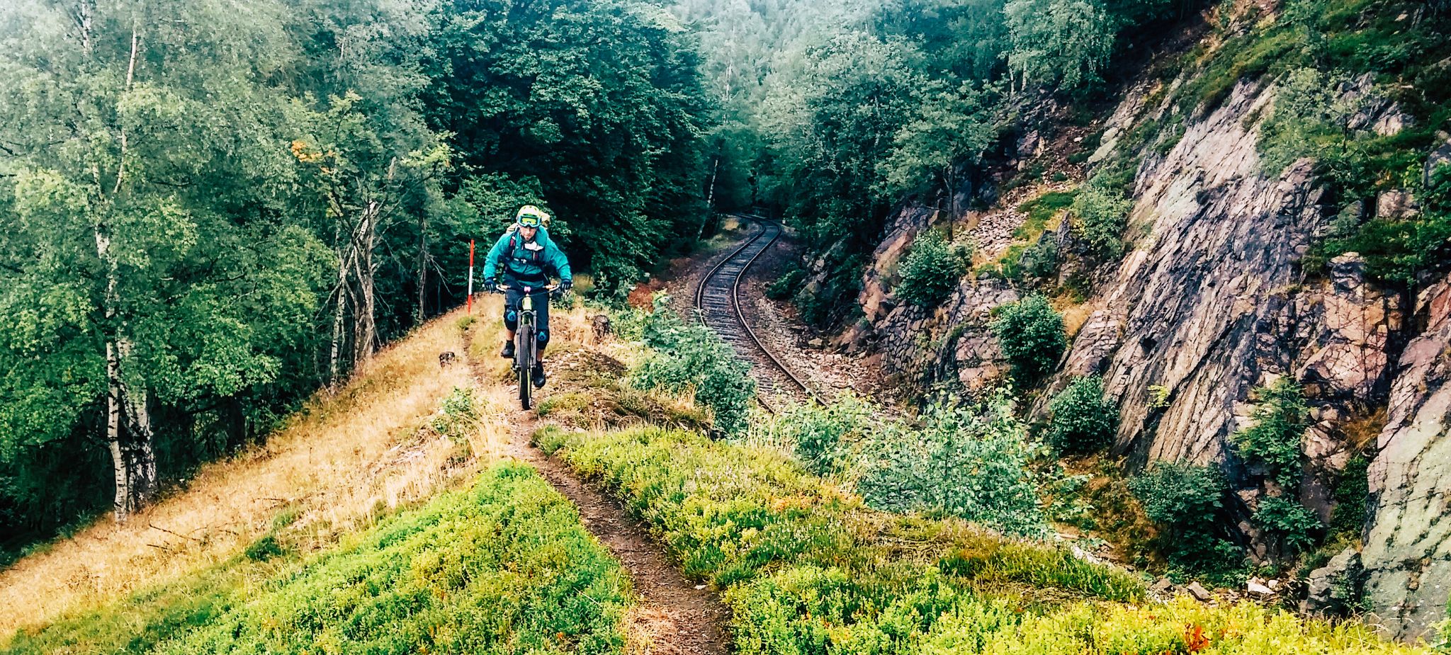
Kammweg Erzgebirge – Border adventure along the Ridgeway

Conquer the Stoneman Miriquidi ROAD in 2 days - The Silver Tour

Let it flow! Cross-country skiing in the Ore Mountains

Flying high on two wheels – bike holidays in the Ore Mountains

Digitale Wandernadel
Other adventures around Altenberg


Tips from the Community

The section in the valley is truly picturesque, you climb over mossy paths always along the stream, and again and again you can catch a glimpse of the rapids gleaming in the sun.
0
0

Café Rotter has offered a wide selection of cakes, tarts, and fine chocolates for many years. You'll always find a seat here, even if you have to wait a bit during the peak winter season. There's plenty of parking nearby.
0
0

Summit hut with delicious food and drinks. Stamp on the map!
0
0
Mining pond. Beautiful with its autumn colors.
0
0

Especially great in winter when it has snowed in the mountains!
0
1

Church in Schellerhau. Information: Built between 1591 and 1593 by miners and farmers, it is one of the most beautiful village churches in Saxony. The tower received its current form in the 18th century.
2
0

Frequently Asked Questions
How many bus station hiking trails are available in Altenberg?
There are over 470 hiking routes accessible from bus stations around Altenberg. This extensive network includes trails for all skill levels, from easy strolls to challenging ascents.
Are there easy, family-friendly hikes accessible by bus in Altenberg?
Yes, Altenberg offers many easy and family-friendly options. For example, the Rock sea at Stephanshöhe – Valley of the Rote Weißeritz loop from Weißeritzwiesen Schellerhau is an easy 5.9 km route. The region also features playful trails like the 'Wild Hell' adventure trail and the 'Heaven and Hell route around Schellerhau', perfect for families.
Can I find challenging hikes from Altenberg's bus stations?
Absolutely. For experienced hikers, the 3-Peak Tour is a demanding 18.6 km route with significant elevation gain, offering a true challenge. The region's prominent hills like Geisingberg and Kahleberg provide rewarding climbs.
What kind of natural features can I expect to see on these trails?
The trails around Altenberg showcase dense forests, varied terrain, and prominent hills. You'll encounter clear lakes like the Great Galgenteich, unique rock formations, and river valleys. Some routes, like the 'View of Geisingberg – Tiefenbach Waterfall loop', even lead to features like the Tiefenbach Waterfall.
Are there any circular walks available from bus stops?
Many routes in Altenberg are designed as circular walks, allowing you to start and end at the same point, often conveniently near a bus stop. The Great Galgenteich – Viewpoint on the Kahleberg loop from Altenberg is a popular 7 km circular route offering scenic views.
What are the best times of year to hike around Altenberg?
Altenberg is beautiful year-round. Spring brings vibrant blossoms, while autumn transforms the landscape with spectacular colors, making both seasons ideal for hiking. The region is also known for winter sports, suggesting that some trails are suitable for winter hikes, offering a different kind of scenic beauty.
What do other hikers enjoy most about hiking in Altenberg?
The area is highly rated by the komoot community, with an average score of 4.7 stars from over 6,600 ratings. Reviewers often praise the diverse landscapes, well-maintained trails, and the accessibility of routes from public transport, making it easy to explore the natural beauty of the Eastern Ore Mountains.
Are there any viewpoints or notable landmarks along the bus-accessible trails?
Yes, many trails lead to stunning viewpoints and landmarks. You can reach the Kahleberg Summit or the Luisen Tower on the Geisingberg for panoramic views. The Bench With a View of Zinnwald – Oberbärenburg Observation Tower loop is another route specifically highlighting scenic vistas.
Can I bring my dog on the hiking trails near Altenberg bus stations?
Most hiking trails in the Altenberg region are dog-friendly, making it a great destination for walks with your canine companion. It's always advisable to keep dogs on a leash, especially in nature reserves or near wildlife, and to check local regulations for specific areas.
Are there any historical or cultural points of interest along the routes?
Beyond natural beauty, the region has a rich history. Near Zinnwald-Georgenfeld, you can explore historic border paths and evidence of past mining activities. Trails near Schellerhau also pass by the attractive village church, offering a glimpse into local culture and history.
What is the typical duration and distance of these bus-accessible hikes?
The hikes vary significantly in duration and distance. You can find shorter, easy routes like the Rock sea at Stephanshöhe at around 5.9 km (approx. 1.5 hours), up to longer, more challenging tours such as the 3-Peak Tour, which is 18.6 km and can take over 5 hours to complete.
Most popular routes around Altenberg
Most popular attractions around Altenberg

Get inspired with the komoot mobile app


Explore more
Browse the best Hikes in other regions.
