The best hikes from bus stations around Monschau
4.6
(24836)
85,120
hikers
296
hikes
Bus station hiking trails around Monschau navigate a region characterized by its hilly and forested terrain, offering diverse outdoor experiences. The landscape features tranquil river valleys, such as the Rur and Olef, which carve paths through the area. Hikers encounter impressive rock formations and unique moorlands, including the High Fens, adding to the natural variety. This blend of natural features provides a rich environment for exploration.
Best bus station hiking trails around Monschau
- The most popular bus station hiking route…
Last updated: October 27, 2026
4.7
(1594)
4,857
hikers
15.3km
04:15
240m
240m
Moderate hike. Good fitness required. Mostly walkable paths. Sure-footedness required.
4.7
(540)
2,081
hikers
22.4km
06:15
430m
440m
Hard hike. Very good fitness required. Easily walkable paths.

4.3
(80)
271
hikers
8.73km
02:24
140m
140m
Moderate hike. Good fitness required. Mostly walkable paths. Sure-footedness required.
4.8
(366)
1,088
hikers
Moderate hike. Good fitness required. Easily walkable paths.
4.8
(267)
856
hikers
Moderate hike. Good fitness required. Easily walkable paths.
Get access to more routes and recommendations from other explorers.
Already have an account?
Our route recommendations are based on thousands of hikes, rides, and runs completed by other people on komoot.
Start today with a free account
Your next adventure awaits.
Popular around Monschau
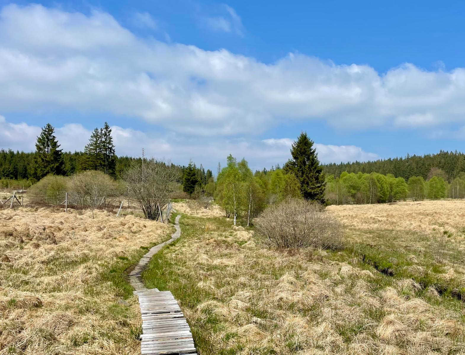
Nature et Histoire à la frontière germano-belge — Chemin du souvenir
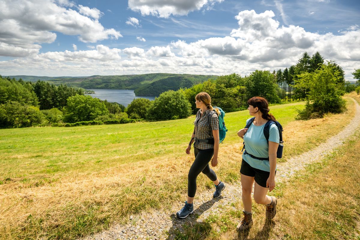
Shaped by rock and water – hikes in the Rureifel region

Hike with BUND on the trail of the European wildcat
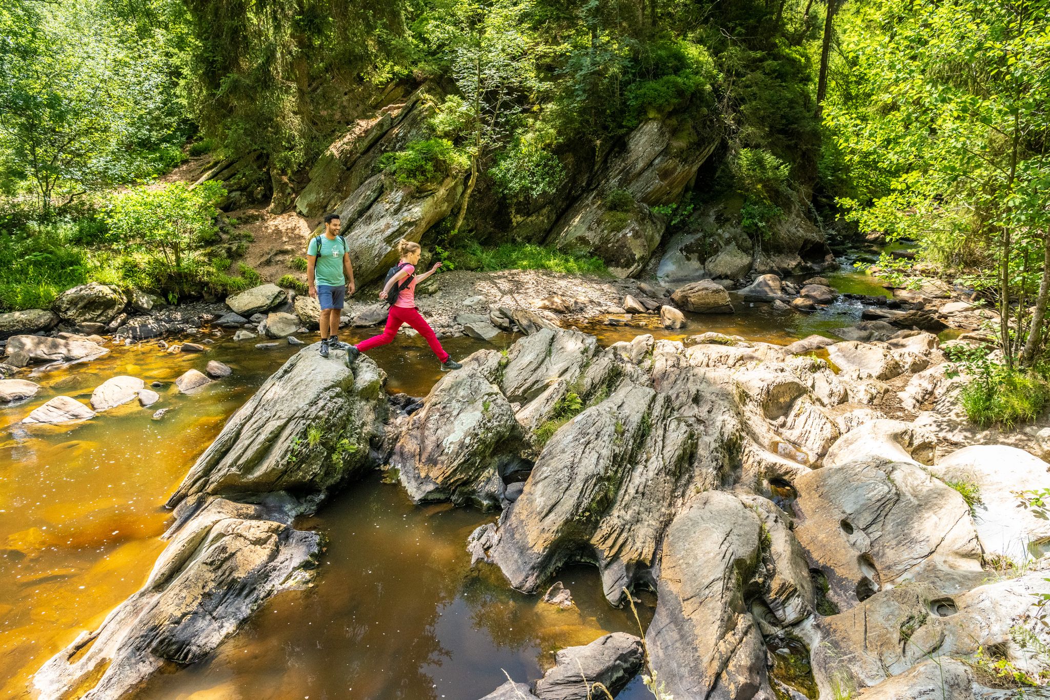
The Eifelsteig's 8 partner trails in Aachen region
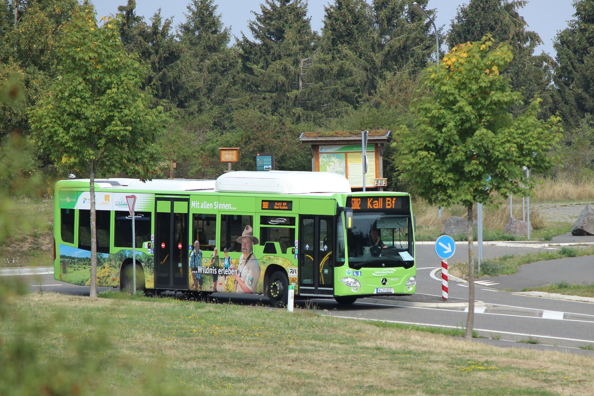
Next stop: Wilderness! – Germany’s Eifel National Park by public transport
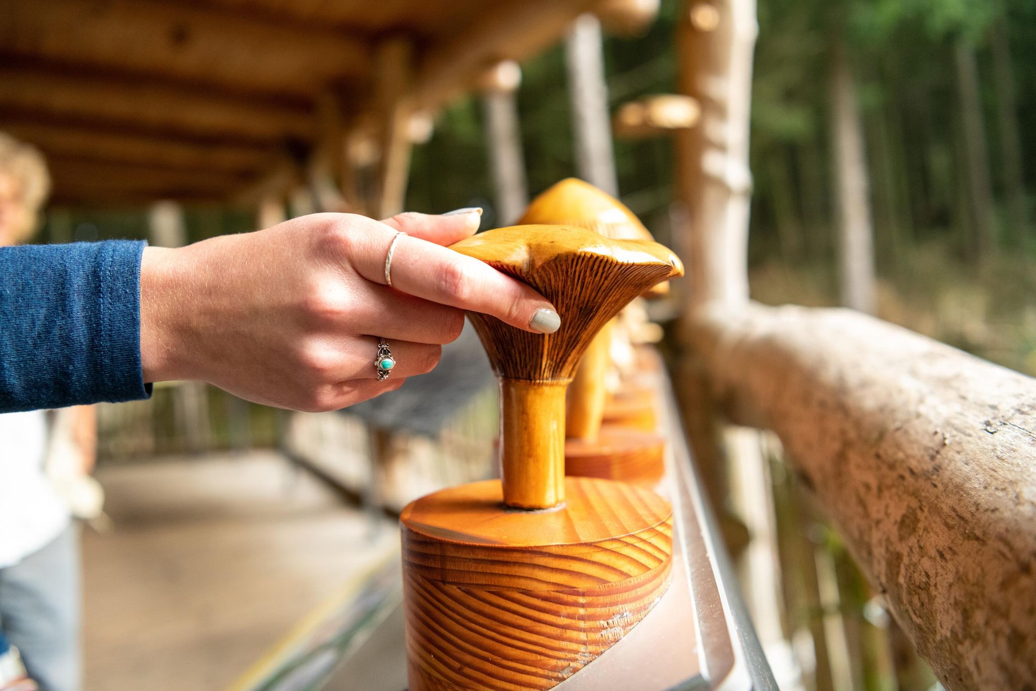
Accessible routes in Germany’s Eifel National Park
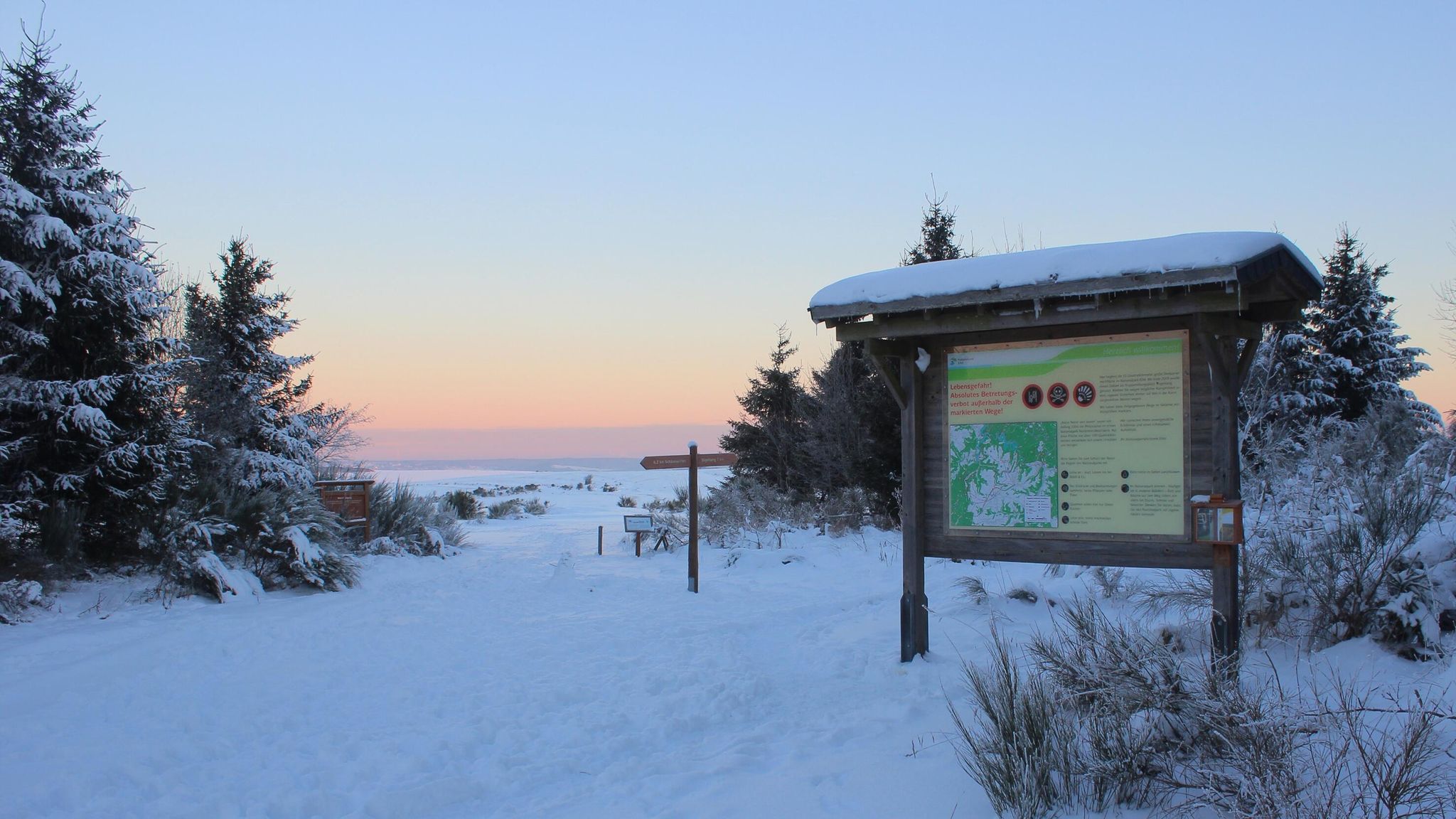
Winter hiking trails in Eifel National Park
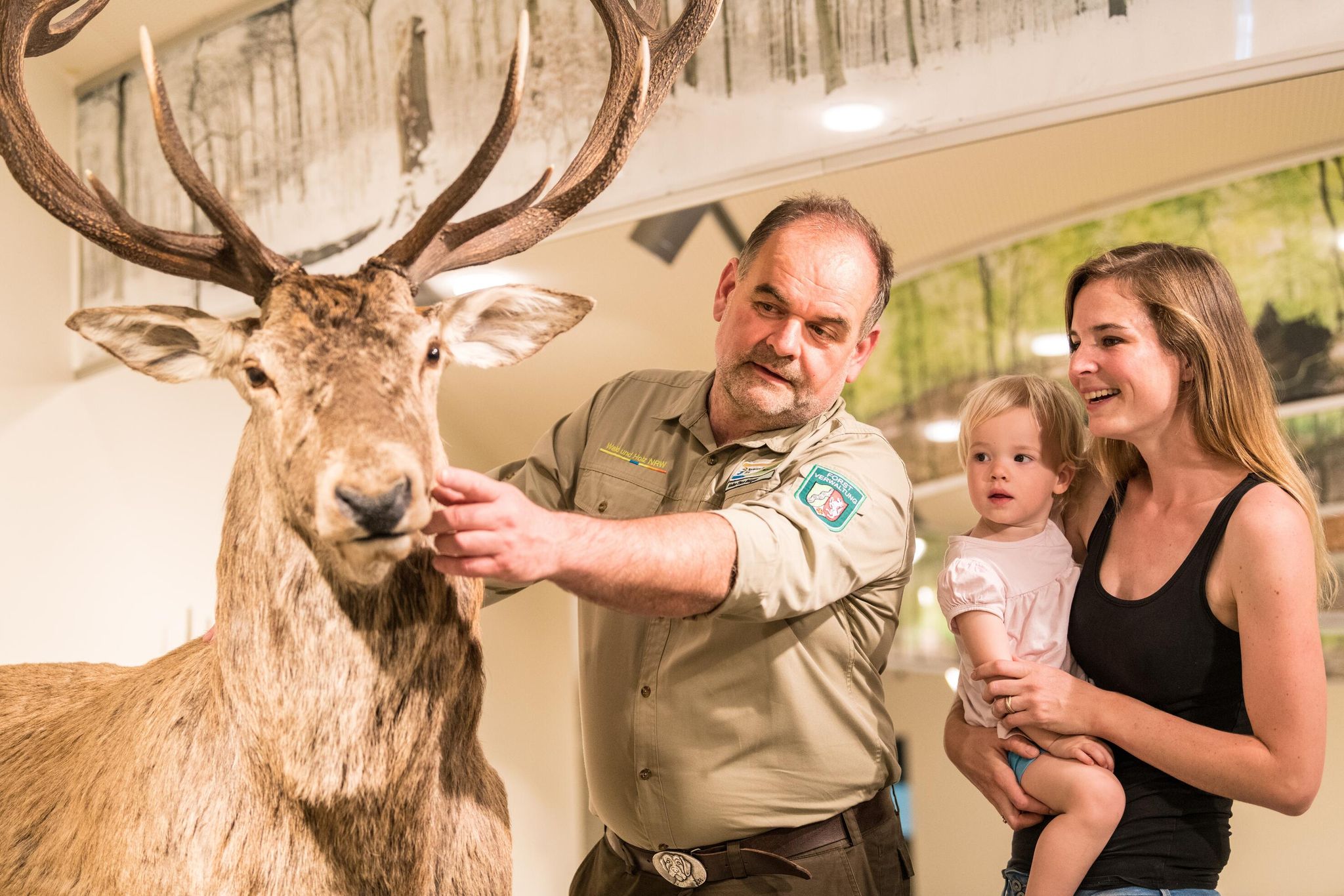
Eifel National Park information centres and facilities
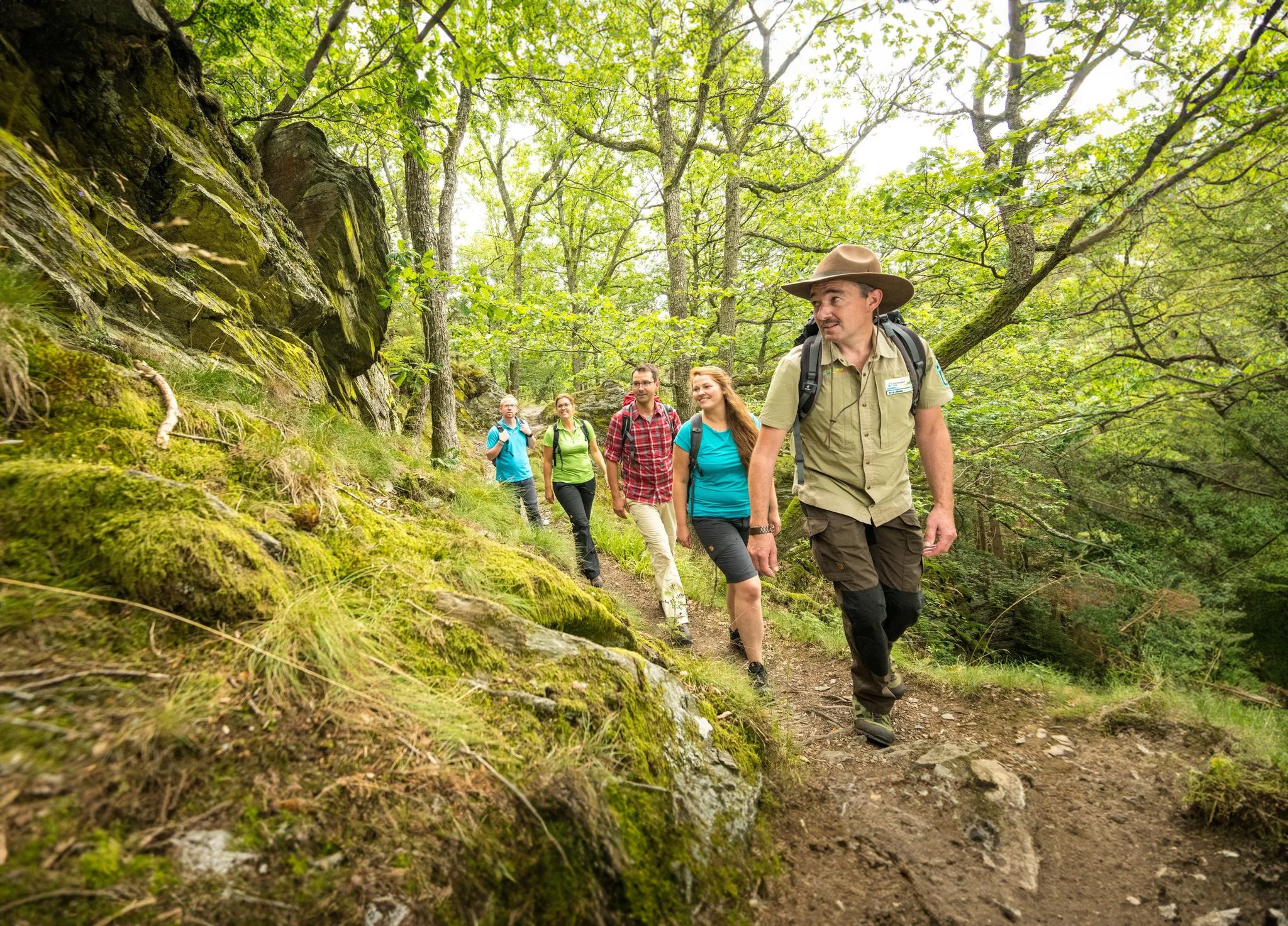
Wilderness Trail – four stages through Eifel National Park
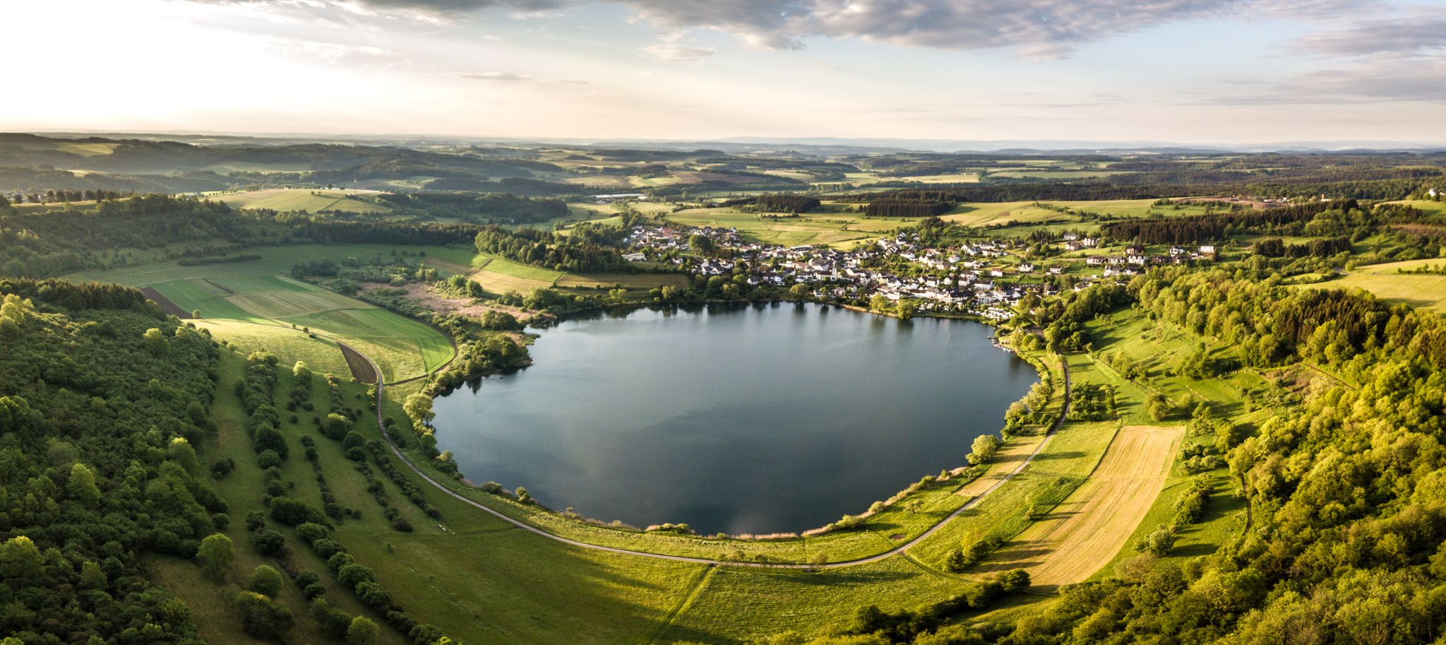
Volcanoes, water, forest – the partner trails of the Eifelsteig
Other adventures around Monschau


Tips from the Community

The wooden boardwalks that lead through this fairytale-like downy birch forest are particularly charming.
2
0
The Weserbach rises in the Belgian High Fens in the Schennekul area, near the German-Belgian border at Konzen. Its water is often rust-brown in color due to natural humic substances and iron compounds. From there, it flows towards Roetgen and continues through Belgium to its confluence with the Ourthe at Chênée.
16
0
The Norbertuskapelle is located not far from the Reichensteiner Bridge between Kalterherberg and Mützenich, picturesquely situated by the wayside. The octagonal chapel, built from local rubble stone, was erected in the spring of 1926 in honor of Saint Norbert of Xanten, the founder of the Premonstratensian Order, and was consecrated on June 6, 1926. Inside there is a statue of Saint Jude Thaddeus. Numerous votive tablets, flowers, and candles bear witness to the fact that the chapel is still visited today as a place of prayer and personal devotion. Depictions of Saint Norbert and Saint Hermann Josef of Steinfeld also recall the connection to the former Reichenstein monastery.
43
1
The Reichenstein Viaduct spans the Ermesbach valley near Kloster Reichenstein and is part of the former Vennbahn. For decades, the railway line connected Aachen with the north of Luxembourg and was used for the transport of ore and coal, among other things. After the Second World War, it gradually lost importance. Today, the cross-border Vennbahn cycle and hiking path runs along the former railway line.
29
0
The Rur-Uferweg from Dreistegen in the direction of Kloster Reichenstein runs along the Rur through the wooded and partially rocky Rurtal valley. Individual sections lead over narrow natural paths, which can be somewhat marshy in places after rain. For the way back, the opposite bank of the Rur is suitable, where a wide gravel path leads back in the direction of Dreistegen.
43
0

Idyllic path along the very natural Rur.
10
0

Fantastic natural experience over rocks and roots right next to the Rur.
2
0
According to local tradition, an old legend explains the origin of the Teufelsley (Devil's Rock). The devil was said to have been enraged because a monastery was to be built in the region. In his anger, he dislodged a massive boulder from the heights to destroy the structure. However, as he approached with the stone, an angel intervened, thwarting the devil's plan and stopping his attack. The rock brought by the devil then remained in its present location and has been called Teufelsley ever since.
46
0
Frequently Asked Questions
How many hiking trails are accessible from bus stations around Monschau?
There are over 300 hiking trails around Monschau that are easily accessible from various bus stations. This makes it convenient to explore the diverse landscapes of the Eifel National Park without needing a car.
Are there easy hiking trails suitable for beginners or families starting from a bus station?
Yes, Monschau offers many easy trails perfect for beginners and families. For example, the Rur Riverside Trail – Wild Rur below Ehrensteinsley loop is an easy 7.4 km route with minimal elevation gain, offering tranquil walks along the Rur river and views of impressive rock formations like Ehrensteinley.
What kind of terrain can I expect on bus-accessible hikes in Monschau?
The terrain around Monschau is characterized by a mix of hilly and forested landscapes, river valleys, and unique moorlands. You'll encounter well-maintained paths, some with significant elevation changes, and others following the gentle curves of the Rur and Olef rivers. Trails often feature impressive rock formations and dense forests.
Are there any circular hiking routes that start and end at a bus station?
Many routes around Monschau are designed as circular trails, making them ideal for bus travel as you can return to your starting point. The Wezer Bridge – Beautiful view over the Fagnes loop is a moderate 12.8 km circular route offering scenic views over the Fagnes moorlands.
What are some notable natural features or viewpoints I can see on these trails?
Hiking trails around Monschau offer numerous natural highlights. You can encounter impressive rock formations like Teufelsley and Ehrensteinley, explore unique moorlands, and enjoy tranquil river valleys. For stunning vistas, consider routes that pass by viewpoints such as View of Monschau and its castle or Eifel view.
When is the best time of year to go hiking from bus stations in Monschau?
Monschau is beautiful year-round, but spring and autumn are particularly popular. In spring, areas like the 'Daffodil Trail' near Monschau-Höfen are vibrant with wild daffodil blooms. Autumn offers stunning foliage. Summer provides lush green forests, while winter can transform the landscape into a serene, snow-covered wonderland, though some paths might be more challenging.
Are dogs allowed on the hiking trails accessible by bus in Monschau?
Generally, dogs are welcome on most hiking trails in the Monschau region and Eifel National Park, provided they are kept on a leash. It's always a good idea to check specific trail regulations, especially within protected areas, but many routes are very dog-friendly.
What do other hikers enjoy most about the bus-accessible trails in Monschau?
The komoot community highly rates the trails around Monschau, with an average score of 4.58 stars. Hikers frequently praise the diverse landscapes, the well-maintained paths, and the convenience of accessing beautiful nature directly from public transport. The blend of natural beauty with historical town views is also a common highlight.
Are there any longer, more challenging routes accessible by bus?
Yes, for those seeking a greater challenge, there are longer and more demanding routes. The Monastery Route, for instance, is a difficult 22.3 km trail winding through forested hills and river valleys, offering a substantial day hike experience.
Can I combine hiking with cultural sightseeing in Monschau?
Absolutely. Many trails offer panoramic views of Monschau's historic old town, with its charming half-timbered houses and the Monschau Castle. Some routes even lead directly through or near the town's historical center, allowing you to easily combine nature exploration with cultural sightseeing and visits to local cafes or restaurants.
Are there any trails known for specific seasonal flora, like wildflowers?
Yes, the Daffodil Route is particularly famous for its spectacular display of wild daffodils in springtime. This moderate 15.3 km Eifelsteig partner trail offers varied forest and valley scenery, making it a vibrant experience during the blooming season.
Are there any trails that lead to or near historical sites or castles?
Many routes in the Monschau area integrate historical elements. You can find trails that offer views of Monschau Castle, or pass by other historical landmarks like Reifferscheid Castle. The region's rich history is often intertwined with its natural beauty.
Most popular routes around Monschau
Most popular attractions around Monschau

Get inspired with the komoot mobile app


Explore more
Browse the best Hikes in other regions.
