The best hikes from bus stations around Bezirk Laufenburg
4.6
(1115)
4,955
hikers
209
hikes
Bus station hiking trails around Bezirk Laufenburg offer access to a varied landscape in the Swiss canton of Aargau, bordering Germany along the High Rhine. The region features the gentle slopes of the Fricktal Valley, the more rugged terrain of the Jura Mountains, and the prominent Rhine River. Hikers can explore serene forests, expansive pastures, and areas characterized by limestone formations. This diverse topography provides a range of hiking experiences for different abilities.
Best bus station hiking trails around Bezirk…
Last updated: September 30, 2026
4.3
(13)
45
hikers
23.6km
06:53
650m
650m
Hard hike. Very good fitness required. Mostly accessible paths. Sure-footedness required.
4.8
(97)
461
hikers
Moderate hike. Good fitness required. Easily-accessible paths. Suitable for all skill levels.

4.8
(71)
260
hikers
13.6km
03:51
300m
300m
Moderate hike. Good fitness required. Easily-accessible paths. Suitable for all skill levels.
4.7
(21)
84
hikers
Moderate hike. Good fitness required. Easily-accessible paths. Suitable for all skill levels.
4.5
(12)
60
hikers
9.26km
02:50
330m
330m
Moderate hike. Good fitness required. Easily-accessible paths. Suitable for all skill levels.
Get access to more routes and recommendations from other explorers.
Already have an account?
Our route recommendations are based on thousands of hikes, rides, and runs completed by other people on komoot.
Start today with a free account
Your next adventure awaits.
Popular around Bezirk Laufenburg
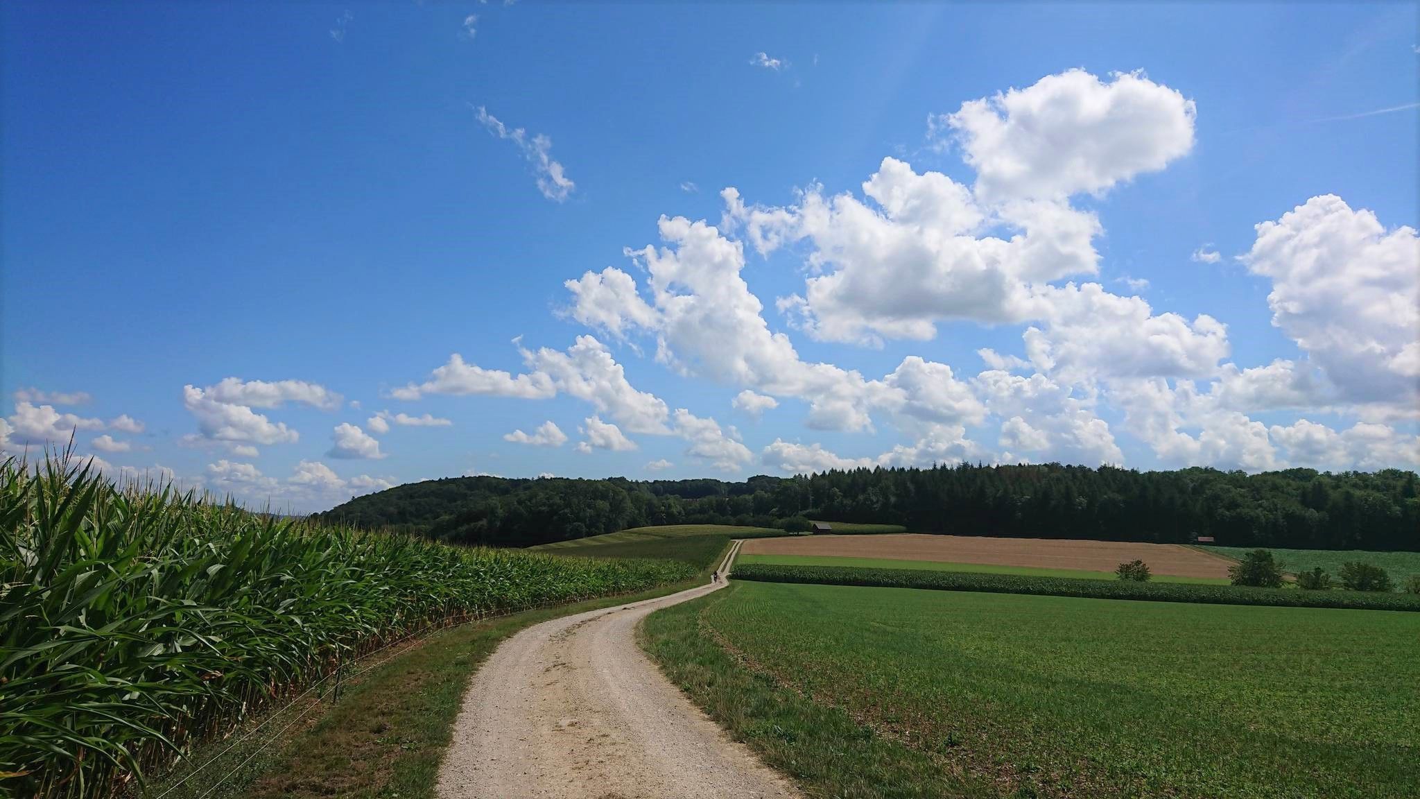
Fricktaler High Trail – Switzerland's green Frick Valley
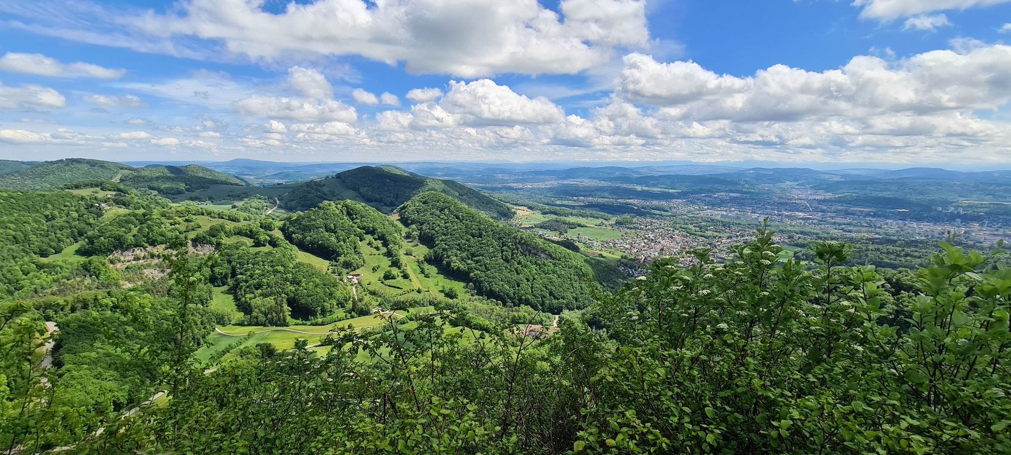
Aargauer Weg – The Habsburg dynasty and magnificent mountain
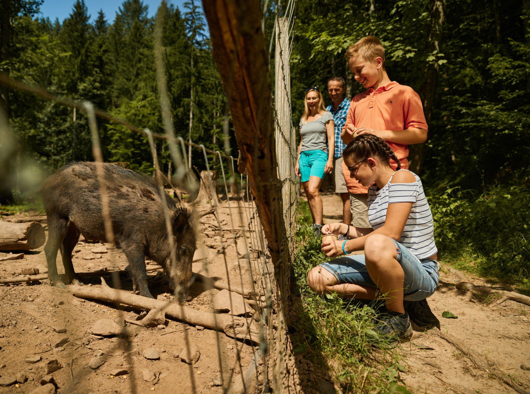
Animal Tours – family hikes in the southern Black Forest
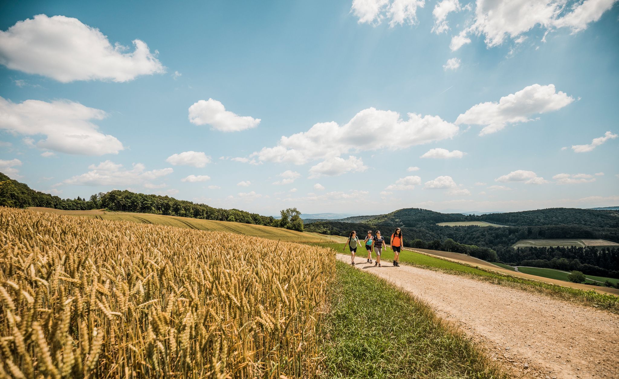
Aargau — Eating your way through the Garden of Eden

Gentle cycling & fine dining – the Black Forest for connoisseurs
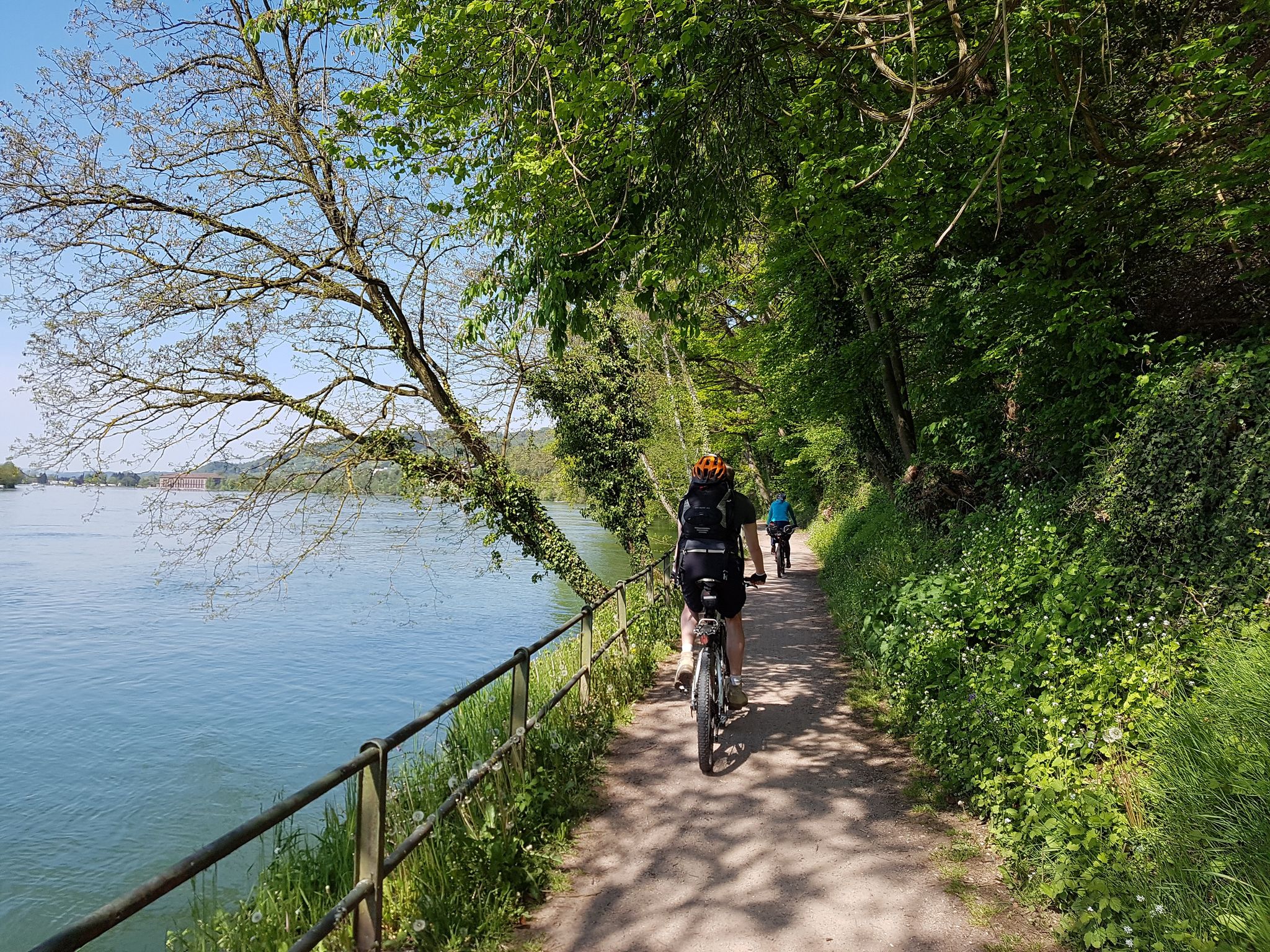
D-Route 6: Danube Route
Other adventures around Bezirk Laufenburg


Tips from the Community

Small farm shop with apple juice, mineral water, coffee and ice cream as well as seasonal fruits. Payment with cash and Twint. The seating areas next to it allow for a beautiful view
0
0

Beautiful rest area with a view of the Fricktal valley
10
0
The ruins of Alt-Thierstein Castle are situated on a wooded ridge in the Laufental valley, near the border with the canton of Basel-Landschaft. This medieval castle was likely built in the 12th century by the Counts of Thierstein and served to control important trade routes. Today, remnants of the walls, the keep, and sections of the curtain wall are still visible. The site offers a beautiful view over the Laufental valley. The ruins are freely accessible and a popular destination for hikers and history enthusiasts.
10
0

Very nice viewpoint, very nice people on the farm!
0
0


Easy path and well located. The view invites you to linger. Just look out and do nothing.
0
0
The rest area has been recently renovated. Still too close to the village for my taste. The view is still nice.
0
0
Wonderful view in a very beautiful location. There are tables and buckets for a picnic. It has a special atmosphere if you go along with it. The board with explanations of the history is very clearly written.
4
0
Frequently Asked Questions
How many bus station hiking trails are available in Bezirk Laufenburg?
There are over 200 hiking routes in Bezirk Laufenburg that are easily accessible from bus stations. These trails cater to various fitness levels, with a significant number of easy and moderate options available.
What makes Bezirk Laufenburg a good region for bus-accessible hiking?
Bezirk Laufenburg offers a unique blend of diverse landscapes, historical landmarks, and natural beauty, all well-connected by public transport. You can explore the gentle slopes of the Fricktal Valley, the picturesque Rhine River banks, and the more rugged terrain of the Jura Mountains, often starting your adventure directly from a bus stop.
Are there easy, family-friendly hikes accessible by bus in Bezirk Laufenburg?
Yes, Bezirk Laufenburg has many easy and family-friendly routes. The region is home to the Fricktaler Kirschblütenweg (Cherry Blossom Trail), which is ideal for families, especially in spring. The Planet Trail in Laufen also offers a unique, educational experience for children. For a short and pleasant stroll right from the bus station, consider the Laufenburg Bridge – Laufenplatz loop from Laufenburg, which is an easy route perfect for all ages.
Can I find circular hiking routes that start and end at a bus station?
Absolutely. Many routes in Bezirk Laufenburg are designed as circular trails, allowing you to start and finish your hike at the same bus station. For example, the Chriesiwäg Gipf-Oberfrick – Alt-Tierstein Castle Ruins loop from Gipf-Oberfrick is a moderate circular route that takes you through scenic landscapes and past historical sites.
Are there any routes with waterfalls or impressive viewpoints accessible by bus?
Yes, the region offers trails leading to beautiful natural features and panoramic views. The Linner Waterfall, the highest in Canton Aargau, is a notable attraction. For stunning vistas, many trails lead to the Cheisacherturm Lookout Tower, which provides panoramic views of the Jura mountains, the distant Alps, and the Black Forest. The Alt-Tierstein Castle Ruins – View of the Black Forest loop from Gipf-Oberfrick is a great option for combining historical sites with scenic overlooks.
What historical sites or landmarks can I explore on these bus-accessible hikes?
Bezirk Laufenburg is rich in history. Many trails pass by significant landmarks such as the medieval alleys of Old town Laufenburg and the ruins of Alt-Tierstein Castle. The Raftsmen's Trail (Flösserweg) also offers insights into the region's traditional timber rafting history. You can explore routes like the Alt-Tierstein Castle Ruins – Chriesiwäg Gipf-Oberfrick loop from Wittnau to combine nature with historical exploration.
Can I bring my dog on hiking trails accessible by bus in Bezirk Laufenburg?
Most hiking trails in Bezirk Laufenburg are dog-friendly, but it's always recommended to keep your dog on a leash, especially in nature reserves, agricultural areas, or near livestock. Public transport rules for dogs may vary, so check with the local bus operator before your journey. Always carry water for your dog and clean up after them.
What is the best time of year to hike from bus stations in Bezirk Laufenburg?
The region offers pleasant hiking experiences throughout much of the year. Spring is particularly enchanting with the cherry blossoms in the Fricktal Valley. Summer provides warm weather for longer excursions, while autumn brings vibrant foliage. Even in winter, some lower-altitude trails along the Rhine or through the forests can be beautiful, though conditions may require appropriate gear.
Are there longer, more challenging bus-accessible routes for experienced hikers?
Yes, for those seeking a greater challenge, there are longer and more demanding routes. The Jura landscape, accessible from Laufenburg, offers sections of the classic Jura Crest Trail with significant elevation changes and sweeping views. An example of a longer, more difficult route is the Around Sulz Trail, which covers over 23 kilometers with substantial elevation gain.
What do other hikers enjoy most about hiking in Bezirk Laufenburg?
The area is highly rated by the komoot community, with an average score of 4.6 stars. Reviewers often praise the diverse scenery, from the tranquil Rhine banks to the panoramic Jura heights, and the well-maintained trails that make exploring accessible. The combination of natural beauty, historical charm, and excellent public transport connectivity is frequently highlighted as a major draw.
Are there any unique natural features to look out for on these hikes?
Beyond the Rhine and Jura, the region is known for specific natural wonders. Keep an eye out for the 800-year-old Lime Tree of Linn, which serves as both a viewpoint and a starting point for walks. The pine forests between Effingen and Bözen are also notable for their rare orchids and insects. The Jurapark Aargau itself is a protected area showcasing the region's unique geology and biodiversity.
Most popular routes around Bezirk Laufenburg
Most popular attractions around Bezirk Laufenburg

Get inspired with the komoot mobile app


Explore more
Browse the best Hikes in other regions.
