The best traffic-free bike rides around Nagold
4.5
(1444)
6,622
riders
117
rides
Family-friendly car-free bike trails Nagold traverse a landscape shaped by the Nagold River valley, nestled between the Northern Black Forest and the Heckengäu region. The area features dense forests, green meadows, and rolling hills, with the Nagold River forming a central artery for many routes. This geographical setting provides a diverse terrain, ranging from gently descending river paths to more challenging ascents into the surrounding uplands. Nagold's location at the confluence of the Waldach and Nagold Rivers further enhances its…
Last updated: September 30, 2026
4.7
(263)
605
riders
21.5km
01:20
170m
170m
Moderate bike ride. Good fitness required. Mostly paved surfaces. Suitable for all skill levels.
4.6
(90)
481
riders
Moderate bike ride. Good fitness required. Mostly paved surfaces. Suitable for all skill levels.

4.7
(245)
932
riders
88.3km
05:20
670m
670m
Hard bike ride. Very good fitness required. Mostly paved surfaces. Suitable for all skill levels.
4.8
(10)
87
riders
27.7km
01:53
320m
320m
Moderate bike ride. Good fitness required. Mostly paved surfaces. Suitable for all skill levels.
4.5
(73)
247
riders
50.6km
03:15
550m
550m
Hard bike ride. Very good fitness required. Mostly paved surfaces. Suitable for all skill levels.
Get access to more routes and recommendations from other explorers.
Already have an account?
Our route recommendations are based on thousands of hikes, rides, and runs completed by other people on komoot.
Start today with a free account
Your next adventure awaits.
Popular around Nagold
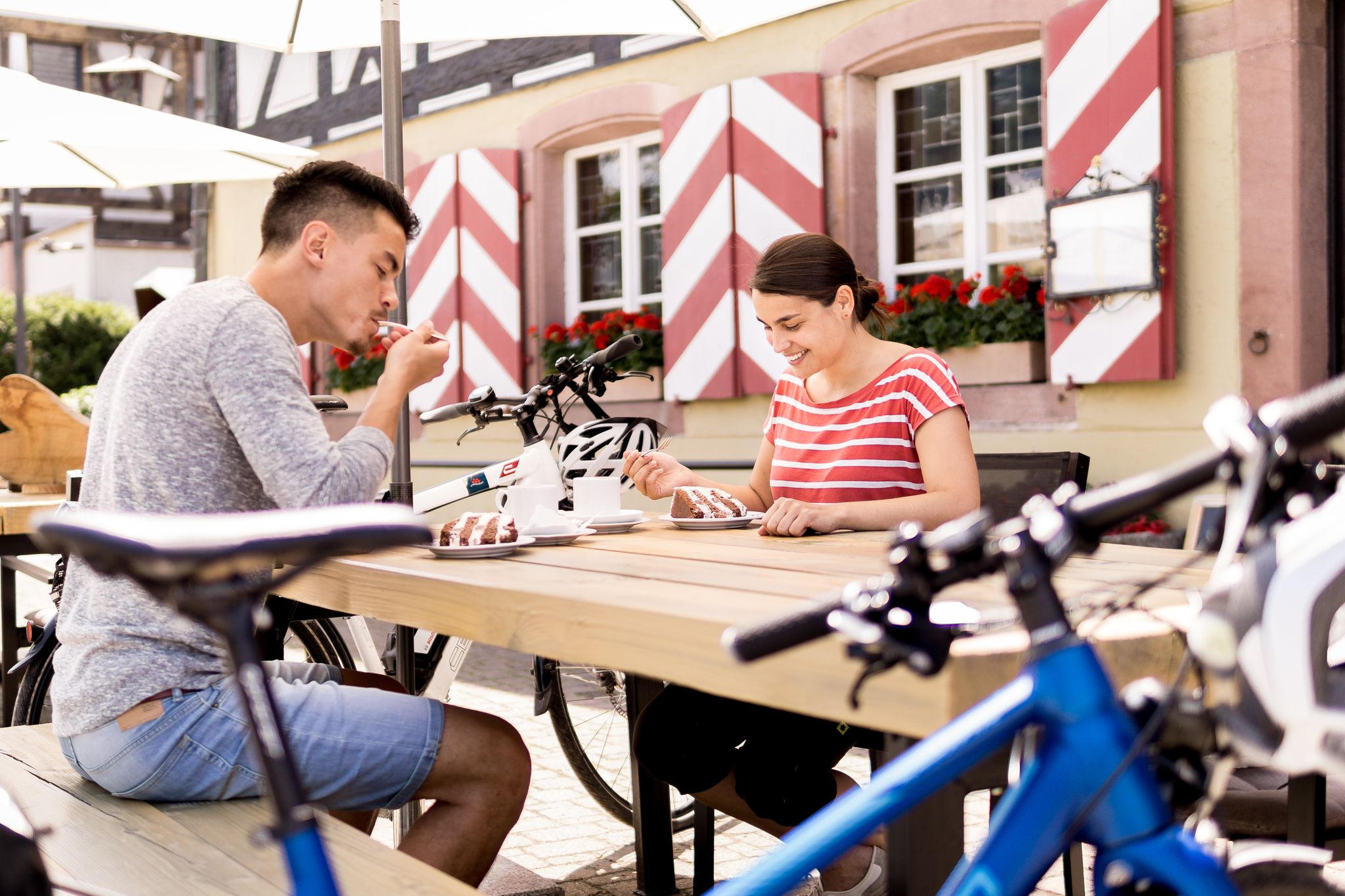
Gentle cycling & fine dining – the Black Forest for connoisseurs
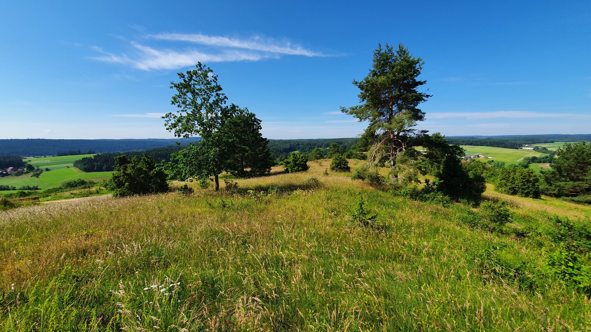
Germany's Gäurandweg – A ramble through the countryside
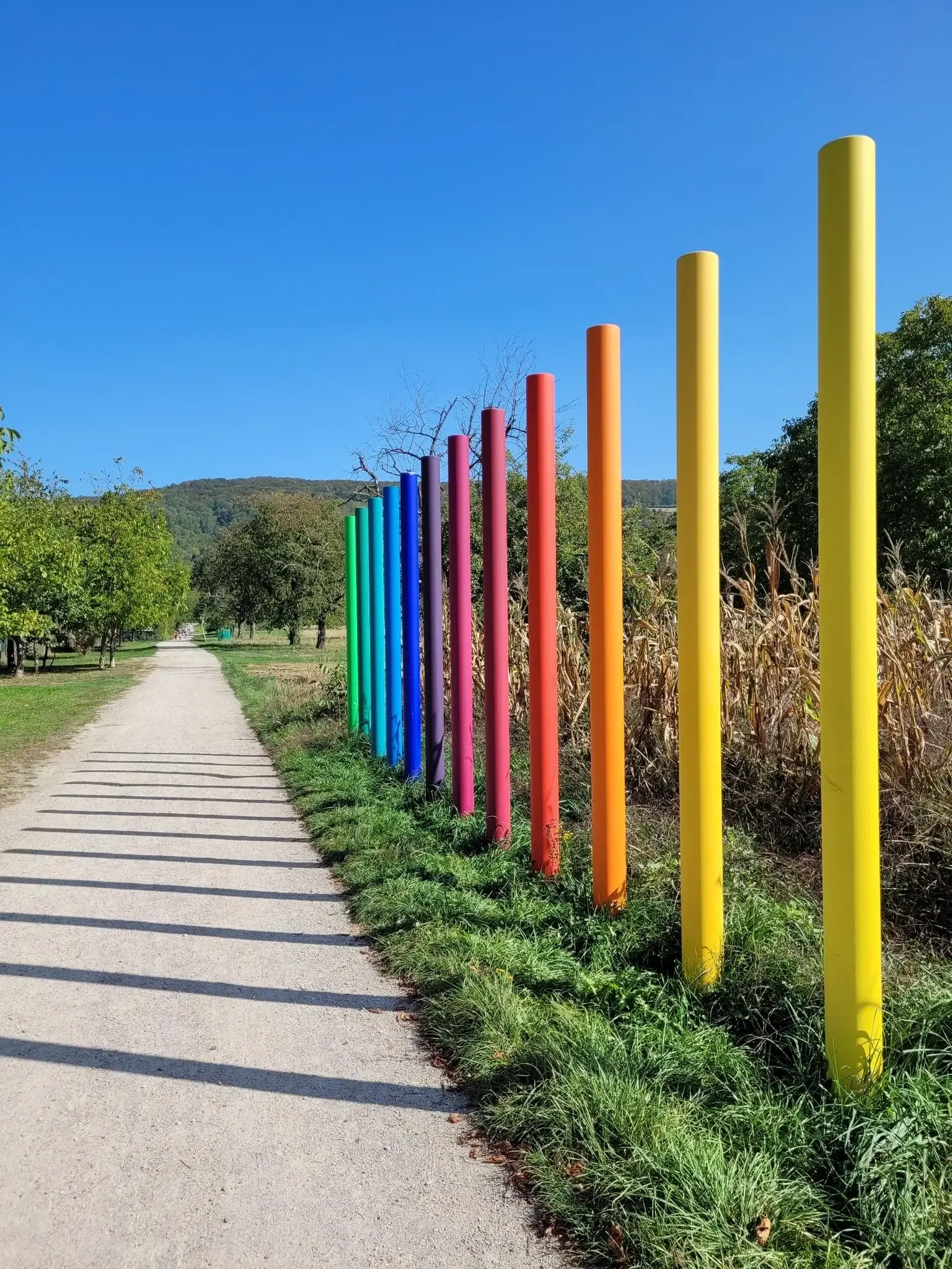
Outdoor Art – art trails in the Black Forest
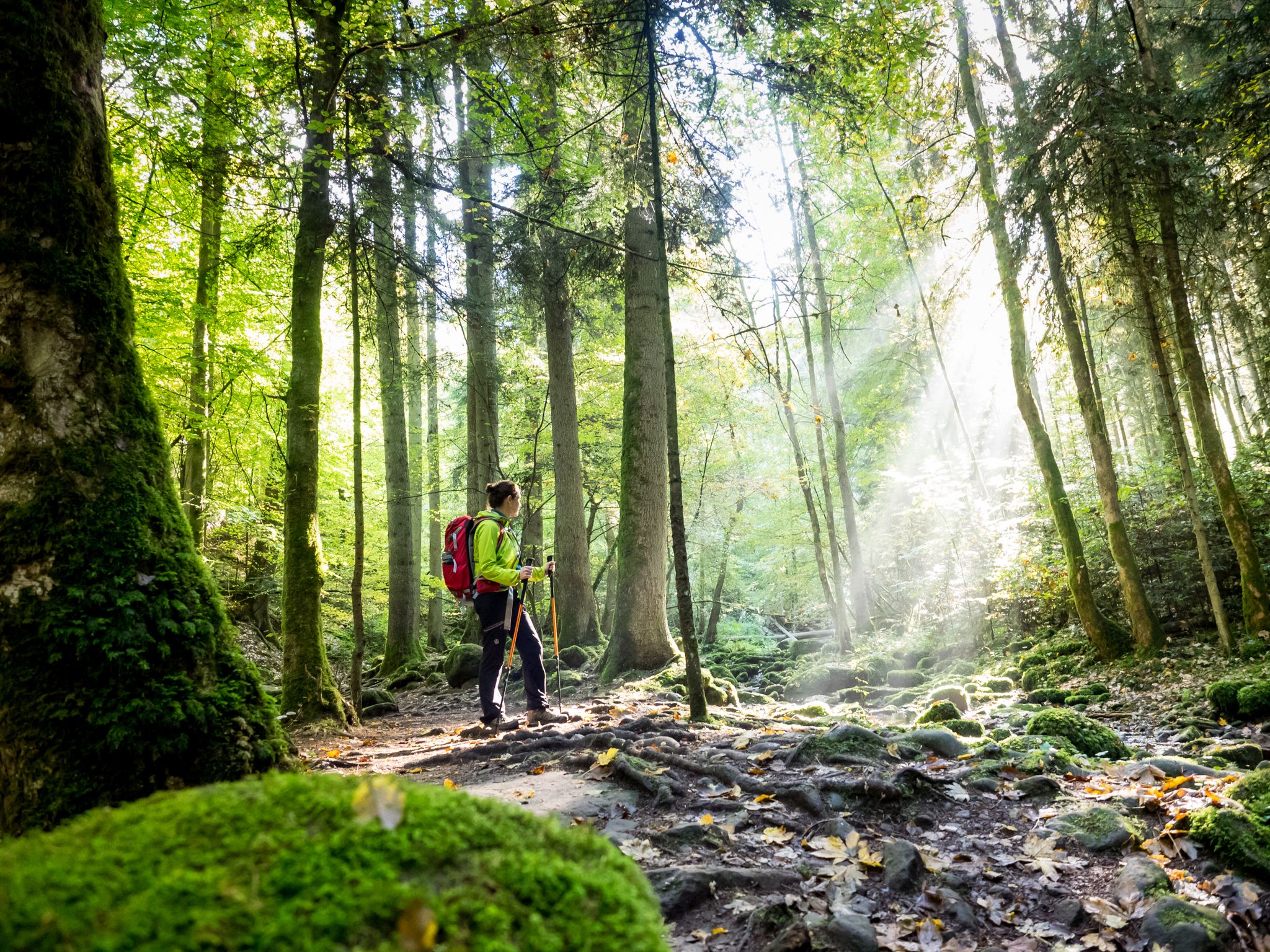
Far from the hustle and bustle – Hidden Trails in the Black Forest
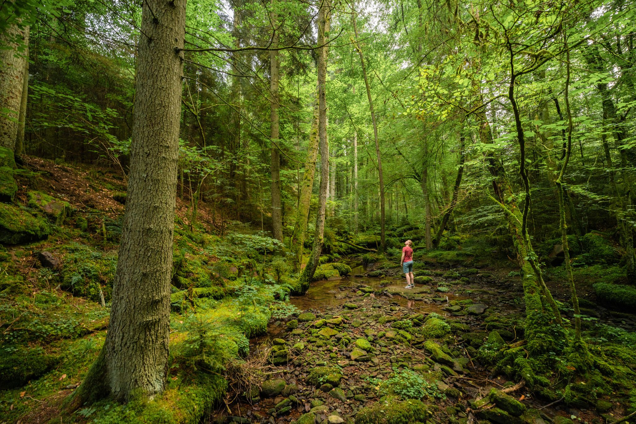
Superb adventures – the best hiking Tours in the Northern Black Forest
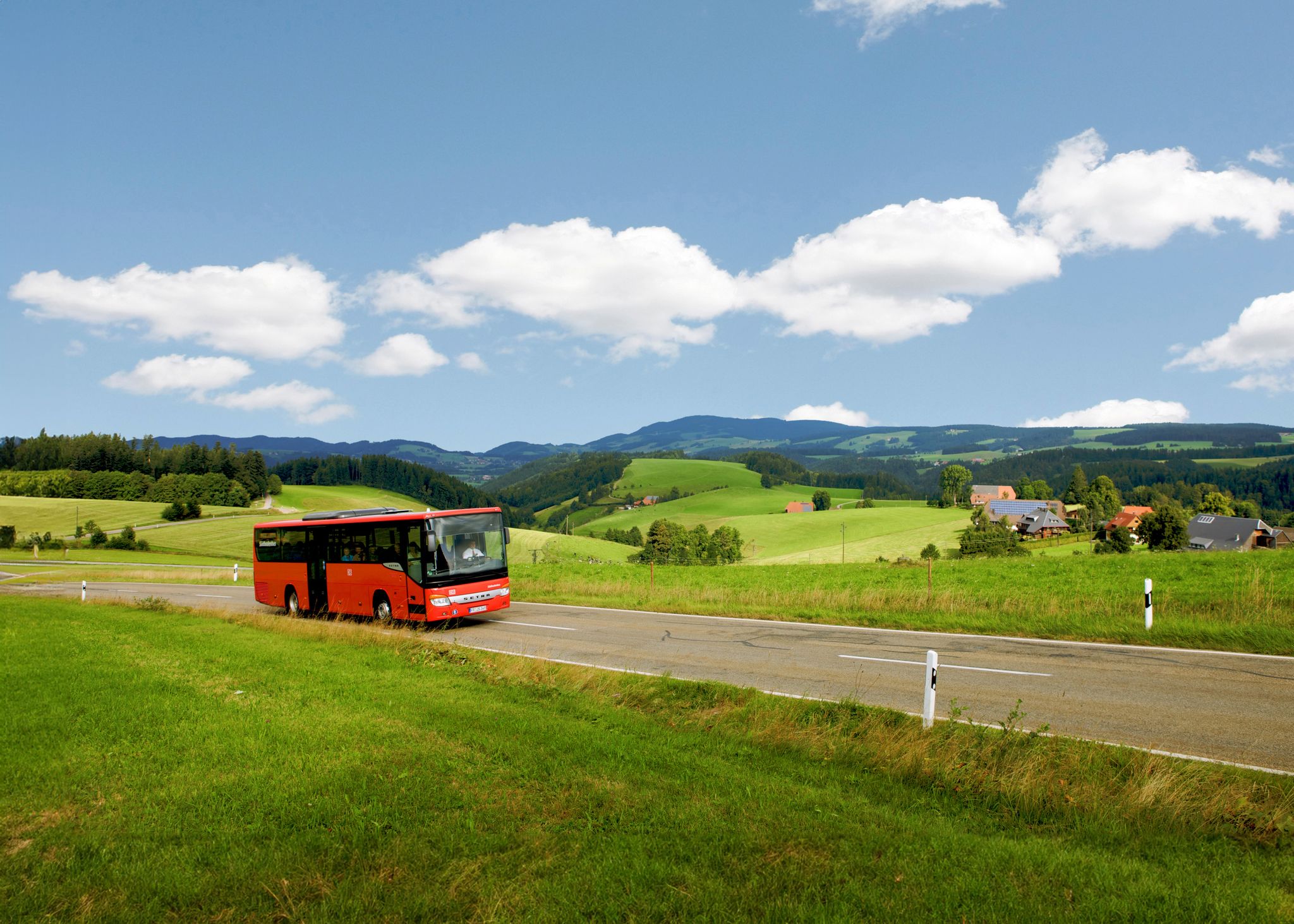
Car-free hiking adventures – the Black Forest without a car
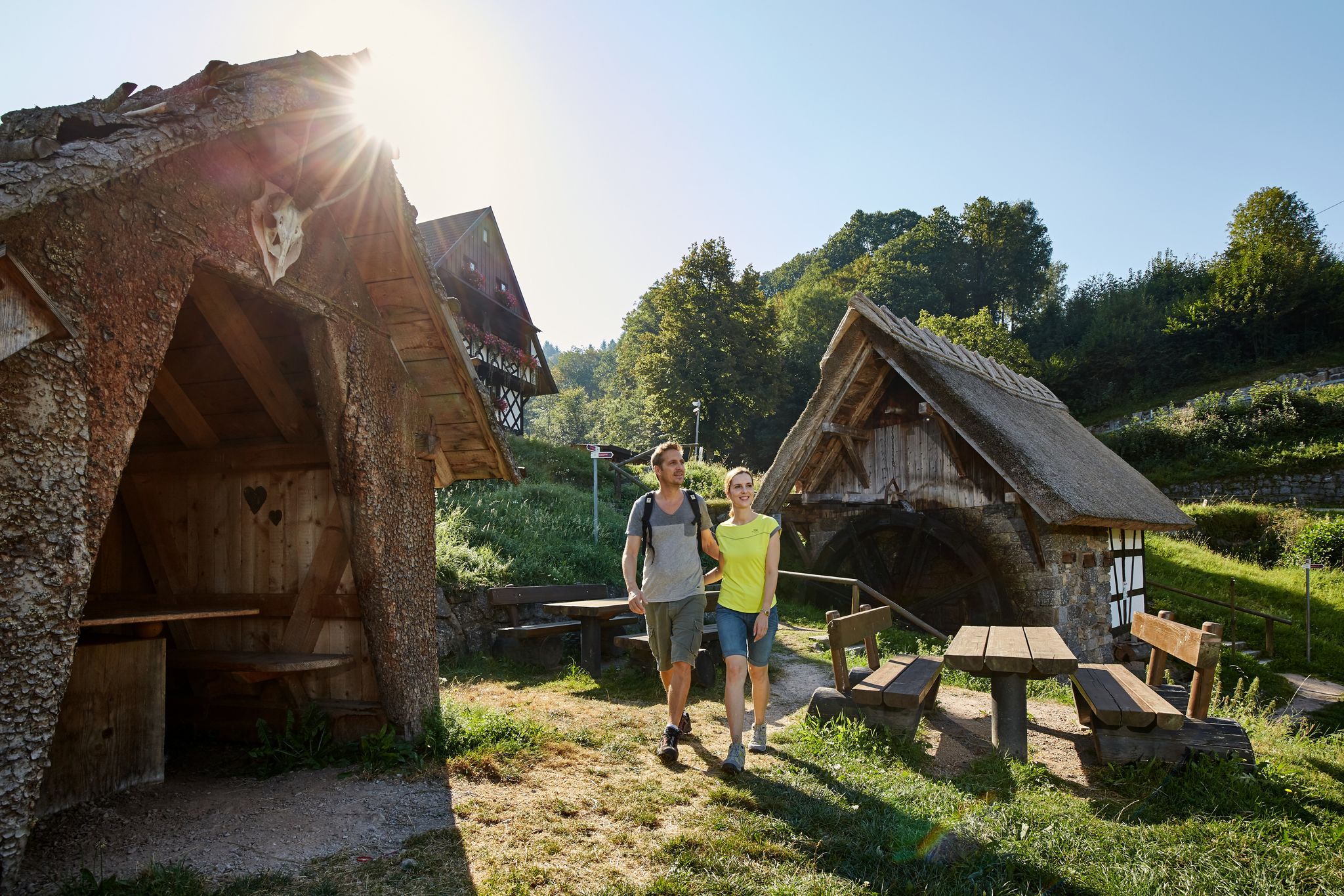
The best in the south: premium and quality hikes in Baden-Württemberg
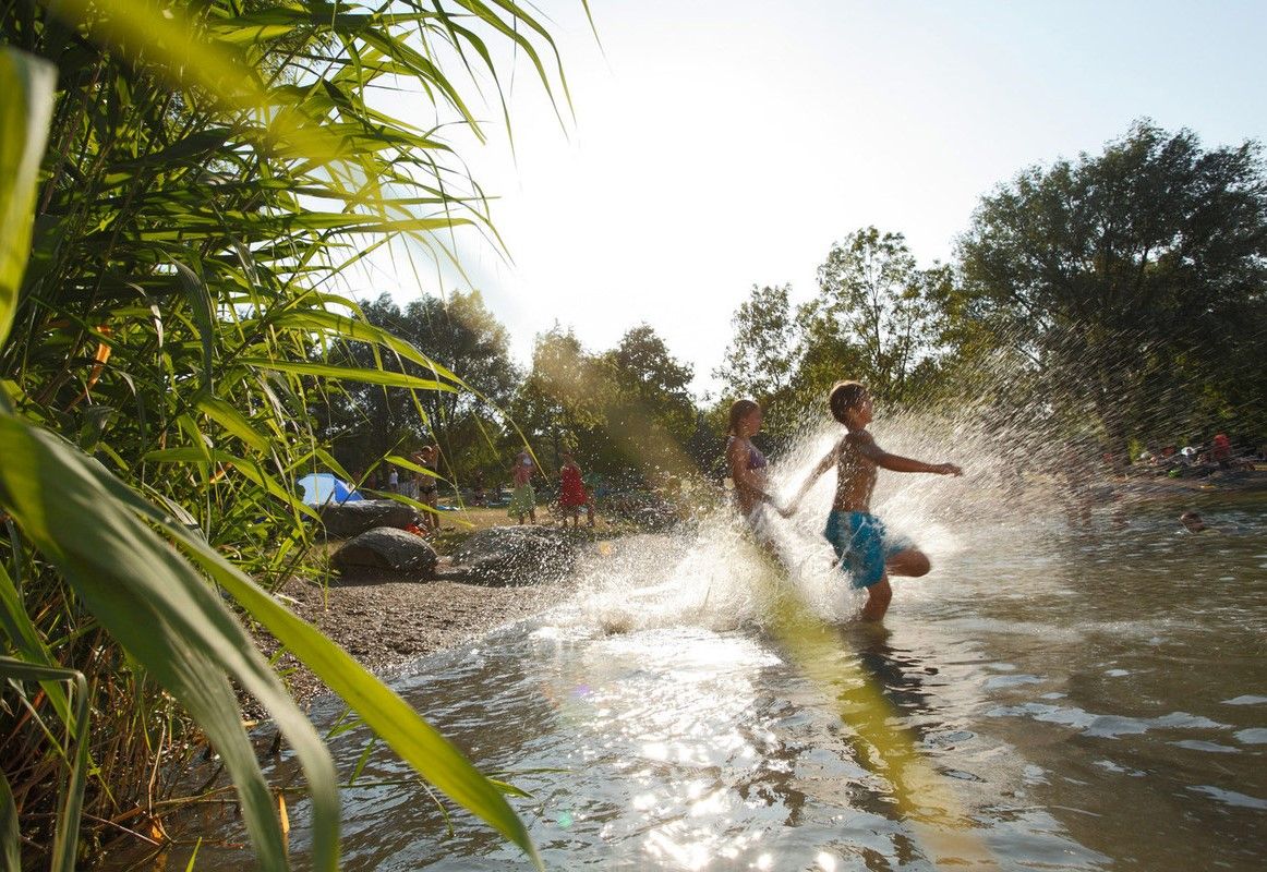
Refreshing summer hikes in Baden Wuerttemberg – bathing fun for the whole family
Exploring the Black Forest in Germany – fantastic trails & nature
Frühlingsgefühle im Nordschwarzwald
Other adventures around Nagold


Tips from the Community

The most beautiful part of the Nagoldtalradweg is after the Pfrondorfer Mühle until Pforzheim. Continuously paved and there are always opportunities to dangle your feet in the water. Especially in the Monbachtal, the numerous restaurants invite you to stop. If you arrive outside opening hours, vending machines are available around the clock. Also a popular starting point for hikers who want to dive into the wild Monbach gorge. Additionally, you can also play a round of Godi Golf here.
6
0
Here begins the most beautiful part of the Nagoldtalradweg. The beauty continues all the way to Pforzheim, where the Nagold flows into the Enz. If you still haven't had enough, you can cycle along the equally beautiful Enztalradweg to its mouth in the Neckar near Besigheim.
6
0
One of the most beautiful cycle paths here in the area. Especially from the Pfrondorfer Mühle to Pforzheim, where the Nagold flows into the Enz.
5
0

beautiful cycle path in the Nagold valley and away from all traffic.
0
1

Beautiful, well-paved stretch along the Nagold with a slight incline towards Nagold...
0
0
Beautiful, flat and well-paved route with a slight incline....
0
0

The Bösinger Wasserhäusle was a pumping station and was used to transport fresh spring water from a source in the Waldach valley via cast iron pipes to the village of Bösingen (a district of the municipality of Pfalzgrafenweiler), located 1.4 km away and 140 meters higher up. The pumps were driven by the water power of the Waldach. A water wheel with a diameter of six meters was used. The facility went into operation in 1894. In 1911, it was supplemented by an 8 hp gasoline engine, which could now also drive the pumps during low water levels in the Waldach. In 1948, it was connected to the power grid via a transformer station, after which a newly installed electric motor could serve as a backup drive. The Bösingen's own water supply was taken out of service in 1991 due to drinking water contamination. The entire facility, including the weir, the power channel, and the pumping station, has been protected as a cultural-historical monument since 2000. The pumping station can be visited all day on the Day of the Open Monument. Source: https://de.wikipedia.org/wiki/B%C3%B6singer_Wasserh%C3%A4usle
0
0
The Waldach is an almost 25 km long river in western Baden-Württemberg in the transition area between the Northern Black Forest and the Gäu, which flows into the river Nagold in the town of Nagold in the district of Calw from the right and south. The Waldach is a small river on the eastern edge of the Northern Black Forest towards the Upper Gäu, which drains a landscape triangle framed by the watercourses of the Upper Nagold to the north, the Upper Neckar to the southeast, and its tributary the Glatt, in a generally northeastern direction, with an approximate arc to the northwest, towards the Nagold. The Waldach originates in the municipality of Waldachtal, named after it, from some small streams. The Schneckenbächle, the official upper course[4], springs from the source furthest from the mouth, about 1.5 km south-southwest of the center of the village of Tumlingen, in the municipality, and at about 635 m above sea level, shortly before a strip of forest where the border with the neighboring municipality of Schopfloch to the southwest runs. The initially northeastern course in a flat, straight valley floor already turns to a north-northwesterly course before the village boundary; in and shortly after Tumlingen, the stream receives two larger left tributaries, the Weiherbach and the Heppersbach, which still originate beyond the border in Schopfloch territory. Here it also enters the Northern Black Forest, characterized by the colorful sandstone, from the natural region of the Upper Gäue, characterized by Muschelkalk in the underground. The Waldach then winds its way through the village of Lützenhardt, the hamlet of Vesperweiler, the village of Cresbach, and the hamlets of Ober- and Unterwaldach of the municipality, now on a northeastern course in a valley deepened by about 80 meters towards the wooded and interspersed with cleared patches marginal heights, above which, shortly before the last hamlet, the Rüdenberg castle ruin stands on a left confluence spur. Afterwards, it enters the municipal area of Pfalzgrafenweiler, whose central namesake settlement lies to the left on the height, and under forest slopes, after the Vörbach ruin, located on another left confluence spur, the narrowing valley floor also fills with forest, where no significant road runs anymore. For the next four and a half kilometers of its northeastern course, above which a viewing tower located to the left above the valley on the site of the Mantelberg ruin offers a view, the following Bösinger Mühle of Pfalzgrafenweiler is the only settlement in the valley, .... Source: https://de.wikipedia.org/wiki/Waldach
1
0
Frequently Asked Questions
What kind of no-traffic touring cycling routes can I find around Nagold?
Nagold, nestled between the Northern Black Forest and the Heckengäu region, offers a diverse range of touring cycling routes with minimal traffic. Many routes follow the tranquil Nagold River, providing a serene environment. You'll find everything from family-friendly paths along the river to more challenging loops that venture into the surrounding hills, often utilizing dedicated cycle paths or quiet country roads. The region is particularly known for the Nagold Valley Cycle Path, which is largely paved and follows the river's gentle descent.
Are there any family-friendly no-traffic cycling routes in Nagold?
Yes, Nagold is an excellent destination for family-friendly cycling. The Nagold Valley Cycle Path is particularly suitable, as it largely follows the gently descending course of the Nagold River and is mostly paved, making it ideal for leisurely rides with children. While specific family-friendly routes are not listed in the provided data, the general character of the Nagold Valley Cycle Path aligns well with this need.
What are some of the longer no-traffic touring cycling routes available?
For those seeking longer rides, several challenging loops extend from Nagold. Consider the Nagold Valley Cycle Path – Nagold River Cycle Path loop from Nagold, which covers approximately 88.3 kilometers. Another option is the Nagold Valley Cycle Path – Nagold River loop from Nagold, spanning about 73.8 kilometers. These routes offer significant distances while minimizing traffic exposure.
Are there any moderate no-traffic touring cycling routes around Nagold?
Yes, there are several moderate options for touring cyclists looking for less traffic. For example, the Unterschwandorf Castle – Waldach Cycle Path loop from Nagold-Iselshausen is a moderate route covering about 29.5 kilometers. Another good choice is the Mantelberg Castle Ruins – Waldach Stream loop from Nagold-Iselshausen, which is approximately 27.7 kilometers long and also rated moderate.
What natural features can I expect to see along these routes?
The no-traffic touring cycling routes around Nagold showcase the region's rich natural beauty. You'll primarily follow the serene Nagold River, enjoying lush greenery and idyllic villages. As part of the Northern Black Forest, many routes offer scenic views of dense forests. Keep an eye out for the Nagold Reservoir (Erzgrube) and the confluence of the Waldach and Nagold Rivers, which add to the picturesque setting. While not directly on a cycling path, the demanding Xanderklinge Gorge Trail features waterfalls nearby.
What historical or cultural attractions can I visit while cycling in Nagold?
Nagold and its surroundings offer several historical and cultural points of interest accessible from the cycling routes. You can explore the impressive Waldeck Castle Ruins, which provide panoramic views. The charming historic Old Town of Nagold itself is worth a visit. Further afield, along the Nagold Valley Cycle Path, you can reach the cultural highlights of the monasteries in Wildberg and Hirsau, or the Hermann Hesse City of Calw.
What is the best time of year to go touring cycling in Nagold?
The best time for touring cycling in Nagold is generally from spring through autumn (April to October). During these months, the weather is typically mild and pleasant, and the landscapes are at their most vibrant. The Nagold Valley Cycle Path is particularly enjoyable in spring with blooming flowers or in autumn with colorful foliage. Winter cycling is possible but may involve colder temperatures and potentially icy conditions on some sections.
Are there options for parking near the no-traffic cycling routes in Nagold?
Yes, Nagold offers various parking options for cyclists. Many routes, especially those starting directly in Nagold or nearby towns, have designated parking areas. For routes that follow the Nagold Valley Cycle Path, you can often find parking in the towns and villages along its course, allowing you to start your ride at different points.
Can I access the no-traffic cycling routes in Nagold using public transport?
Public transport access to the cycling routes in Nagold is generally good. The Nagold Valley Cycle Path, for instance, is well-connected by regional trains, allowing cyclists to easily reach various starting points or return from their destination. This makes it convenient to plan one-way tours or to combine cycling with train travel.
What do other touring cyclists enjoy most about the no-traffic routes in Nagold?
The komoot community highly rates the touring cycling experience in Nagold, with an average score of 4.5 stars. Reviewers often praise the peaceful atmosphere of the car-free sections, the beautiful river scenery, and the well-maintained paths that make for a relaxing ride. The combination of natural beauty and historical sights along the way is also frequently highlighted.
Are there any viewpoints along the no-traffic touring cycling routes?
While many routes follow the valley floor, the region's topography offers several viewpoints. The Hohennagold Castle Ruins, towering over the town, provide outstanding panoramic views of the surrounding area. Additionally, highlights like View of Horb am Neckar and View of Horb and the Neckar Valley from the Former Kreuzkapelle Site are accessible, offering scenic vistas of the Neckar Valley and beyond.
Most popular routes around Nagold
Most popular attractions around Nagold

Get inspired with the komoot mobile app


Explore more
Browse the best Cycling routes in other regions.
