The best hikes from bus stations around Murrhardt
4.6
(4618)
15,840
hikers
124
hikes
Hiking trails near Murrhardt accessible by bus traverse the diverse landscapes of the Swabian-Franconian Forest. The region features tranquil valleys, dense woodlands, and significant natural features like the Murr Valley's "klingen" (ravines) and the Murrhardt Rock Sea. Elevations range from the valley floors to hills such as Hohenstein and Hohe Brach, the latter being the highest point in the Swabian-Franconian Forest Mountains. This varied terrain offers a range of bus station hiking trails suitable for different fitness levels.
Best bus…
Last updated: July 10, 2026
4.6
(42)
156
hikers
5.48km
01:35
140m
140m
Easy hike. Great for any fitness level. Easily-accessible paths. Suitable for all skill levels.
4.6
(44)
145
hikers
14.4km
04:11
390m
390m
Moderate hike. Good fitness required. Mostly accessible paths. Sure-footedness required.

Sign up for free
4.8
(65)
153
hikers
6.04km
01:42
130m
130m
Easy hike. Great for any fitness level. Easily-accessible paths. Suitable for all skill levels.
4.3
(63)
195
hikers
15.3km
04:21
320m
320m
Moderate hike. Good fitness required. Mostly accessible paths. Sure-footedness required.
4.7
(20)
79
hikers
3.37km
00:56
50m
50m
Easy hike. Great for any fitness level. Easily-accessible paths. Suitable for all skill levels.
Get access to more routes and recommendations from other explorers.
Sign up for free
Already have an account?
Our route recommendations are based on thousands of hikes, rides, and runs completed by other people on komoot.
Start today with a free account
Your next adventure awaits.
Login or Signup
Popular around Murrhardt
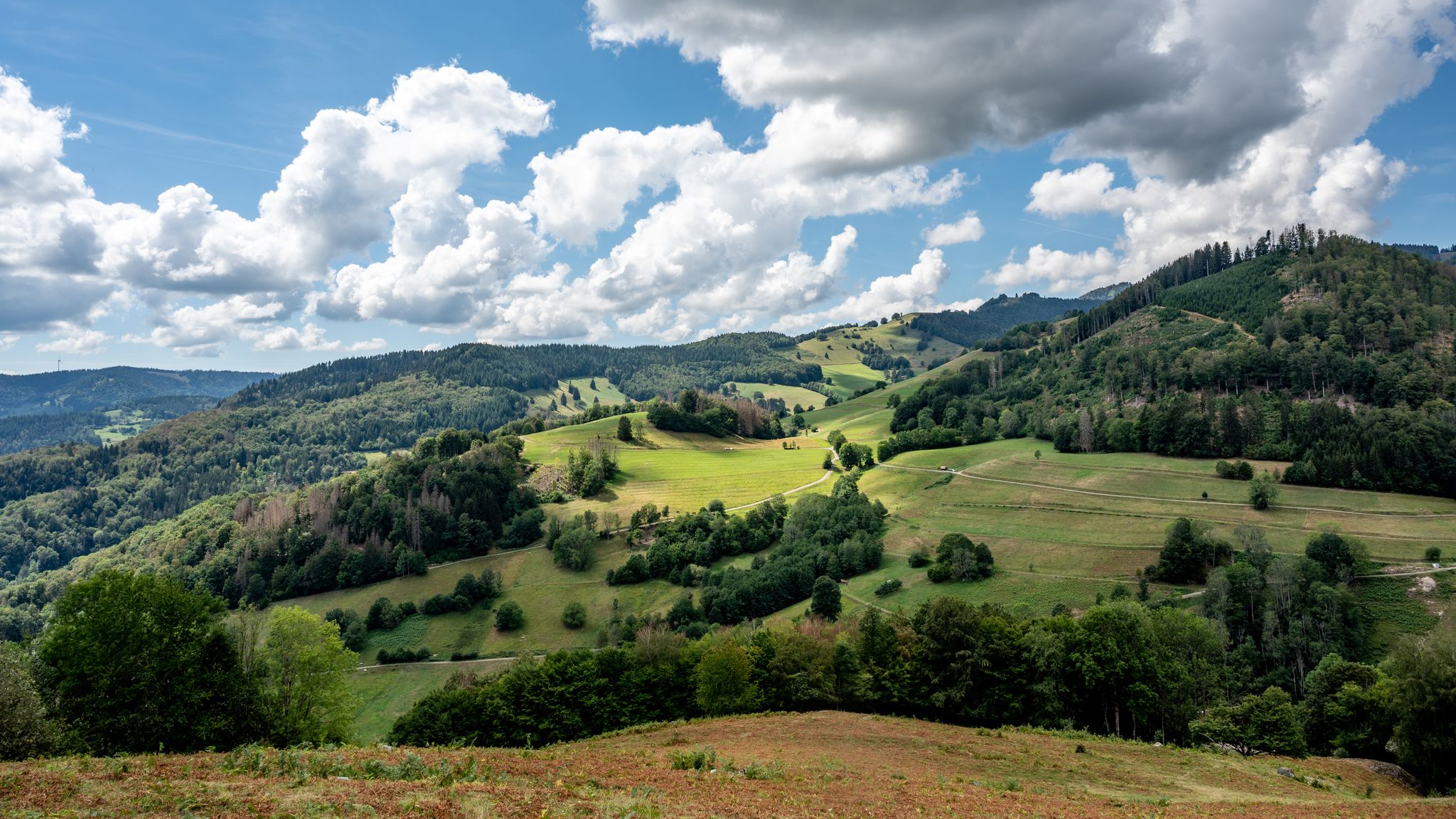
The National Natural Landscapes in Baden-Württemberg

#GoFurther – discover the views of Germany!
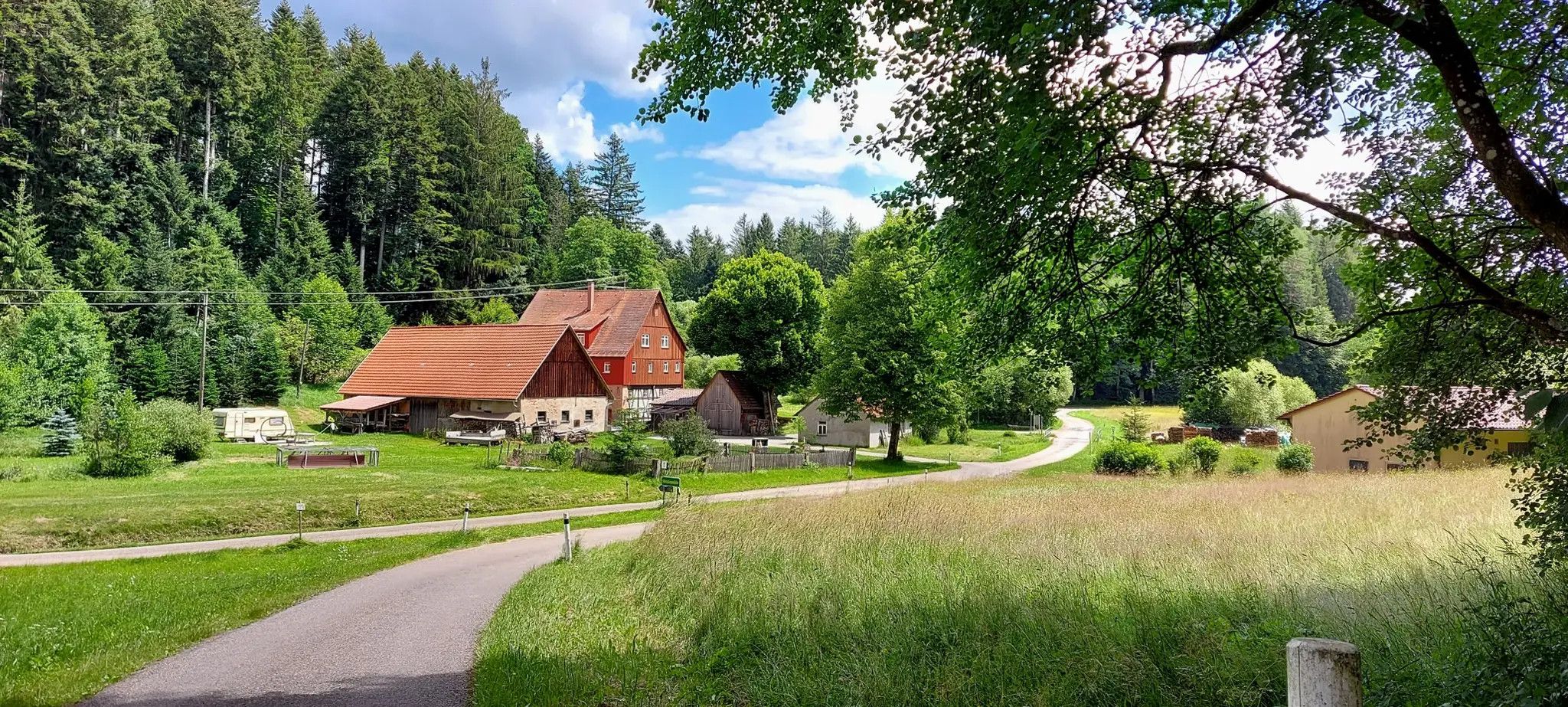
Beautiful mills in the Swabian Forest – Mühlenwanderweg
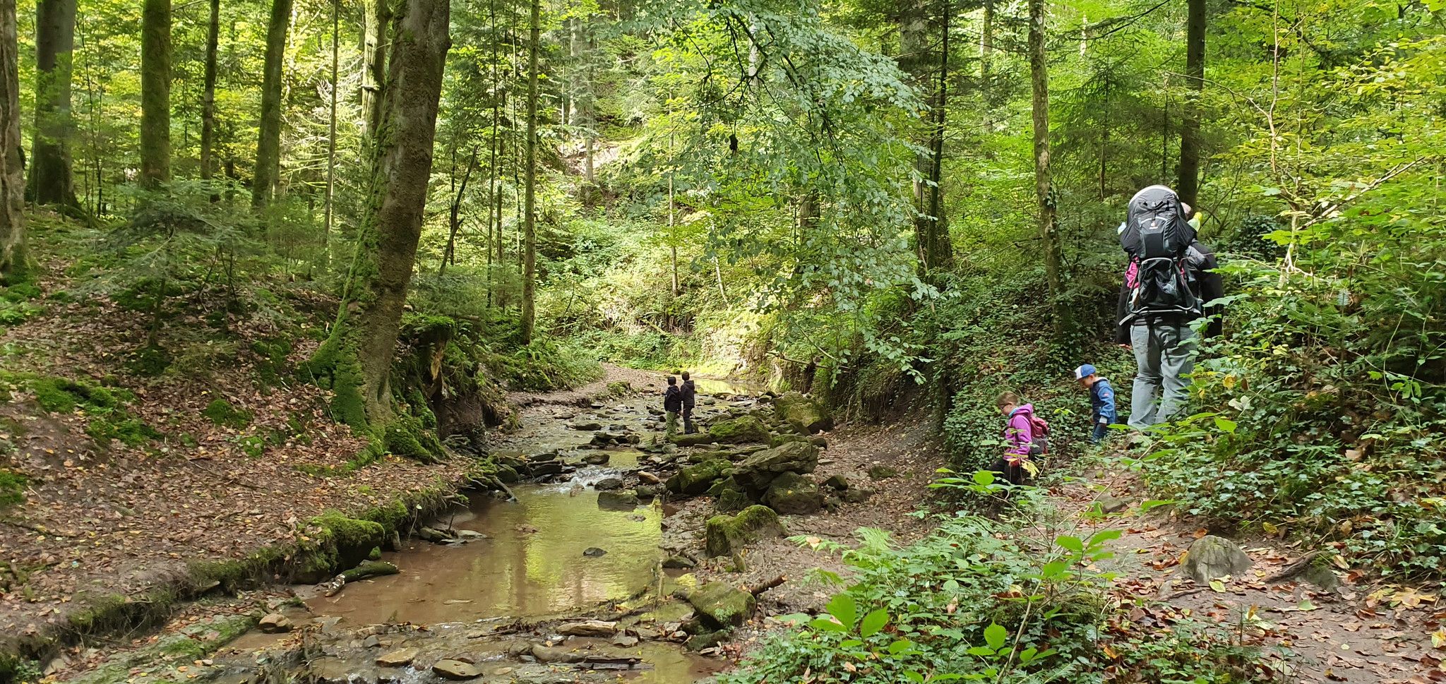
Hot days, cool swims – water walks in the Swabian Forest

German Limes Cycle Path – Riding from the Rhine to the Danube
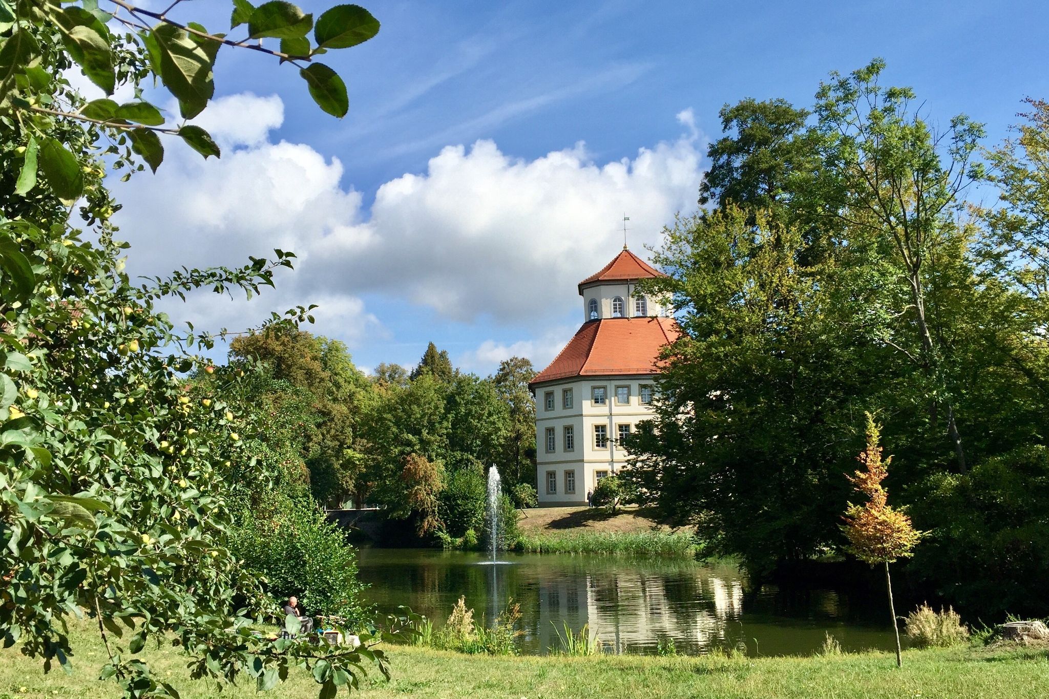
The Stromberg Murrtal Bike Path – 7 stages of nature and culture
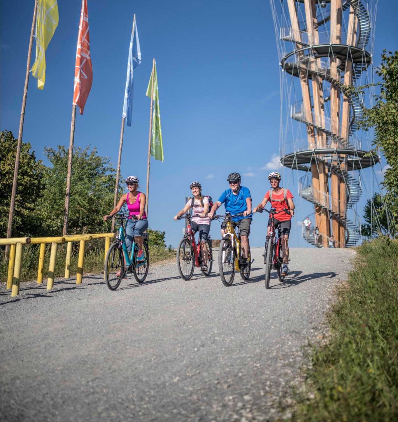
Discover Stuttgart's surroundings – main route of the Stuttgart E-Bike region
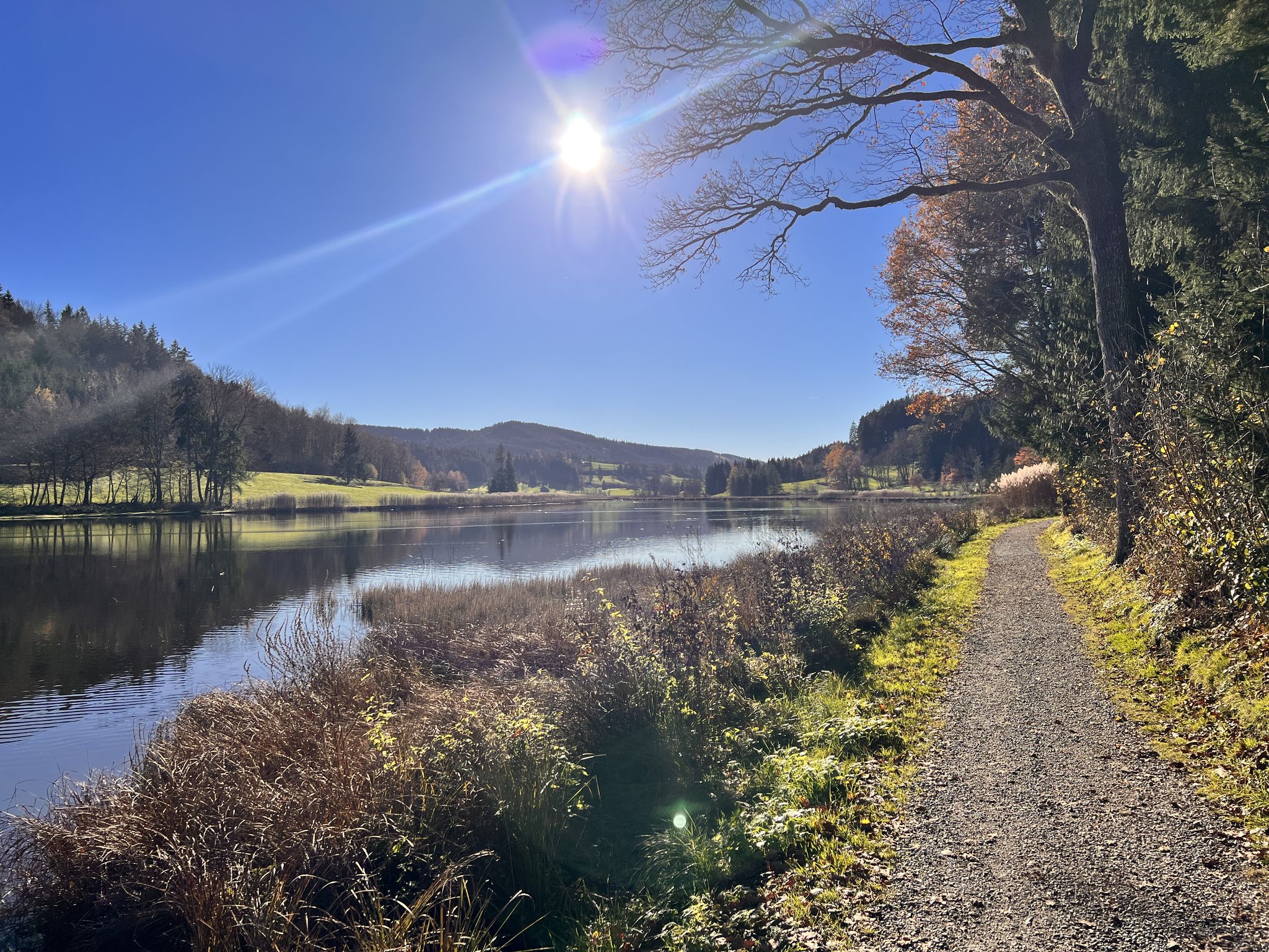
Run Wild – trail running routes throughout Germany
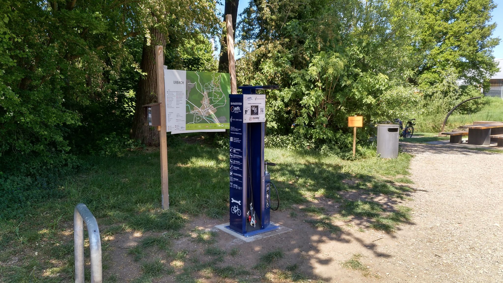
Bicycle service stations in Rems-Murr-Kreis
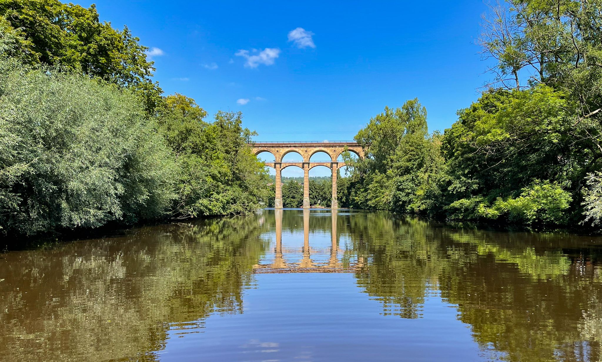
The Stromberg Murrtal Bike Path – 7 stages of nature and culture
Other adventures around Murrhardt


Tips from the Community

On the 536 m high Heidenbuckel, south of the state-recognized resort of Grab, stands a reconstructed Roman stone watchtower with a palisade, rampart, and ditch, as well as a visualization of the Limes route. The Heidenbuckel is the second highest point of the Upper Germanic Limes; it was here that guard post 9/83 was located. Visitors can gain a particularly good impression of the Limes route through the "Limes Visualization." Baden-Württemberg's first Limes educational trail begins at the tower. During the warmer months of the year, the Limes Cicerones usually man the watchtower on Sundays and public holidays from May to October from 1 p.m. to 4 p.m. Those wishing to visit the tower outside of these hours can obtain the key at Landhaus Noller near the nearby Marhördt golf course.
7
1

Very beautiful and wild nature trail.
1
1
This is a pretty wild nature trail. There's probably someone here who doesn't like hikers and/or bikers, because the entrances to this trail above and below have been blocked with thick undergrowth. It's especially difficult to get through the upper entrance, as the thorn bushes have accumulated there. Nevertheless, the trail is truly beautiful!
1
1
We disagree. While hiking poles can be helpful in some areas, they're less so in the Mordklinge gorge! In some places, you actually have to do some climbing. It's often much better to hold onto trees, roots, or rocks with your hands; poles are simply a hindrance! Our fellow hikers all agreed. The poles we brought along were always passed around for support whenever someone had already navigated a difficult section.
1
0

Quite remote but very beautiful landscape, the highlight is the Wachholderhof with its organic farming.
0
0

Delicious salad buffet! 🥗 https://pfizenmaiers-kulinarium.de/
0
0

A sustainable journey is rewarded here! If you show a daily ticket in the bwtarif, you get a discount: mini golf and boat trip in the Waldsee leisure area for ½ price!
0
0

There are also a few benches here for a comfortable rest.
1
0
Frequently Asked Questions
How many bus station hiking trails are available around Murrhardt?
There are over 115 hiking trails around Murrhardt that are easily accessible from bus stations. These routes offer a wide range of experiences, from leisurely strolls to more challenging treks through the Swabian-Franconian Forest.
Are there easy hiking trails accessible from Murrhardt's bus stations?
Yes, Murrhardt offers numerous easy hiking trails perfect for a relaxed outing. For example, the Fornsbach Lake – Waldsee Near Fornsbach loop from Fornsbach is an easy 5.5 km route that takes you around the serene Waldsee. Another gentle option is the Fratzenbrunnen Spring – Trautzenbach Stream loop from Murrhardt, a short 3.3 km walk.
Can I find circular hiking routes starting from a bus station in Murrhardt?
Absolutely. Many of the bus-accessible trails around Murrhardt are circular, allowing you to start and end your hike at the same point. The Riesbergturm Observation Tower – Felsenmeer, Murrhardt loop from Käsbach is a popular moderate circular route, offering diverse scenery including the impressive Felsenmeer.
What natural attractions can I discover on bus-accessible hikes near Murrhardt?
The region around Murrhardt is rich in natural beauty. You can explore the unique rock formations of the Hohler Stein Erosion Natural Monument, or visit the tranquil Waldsee near Fornsbach. The Murr Valley itself features picturesque 'klingen' (wooded ravines) with rock ledges, providing unique hiking experiences.
Are there any waterfalls along the bus station hiking trails in Murrhardt?
Yes, the Murrhardt region is known for its beautiful waterfalls. The Hörschbach Waterfalls, with their 12-meter 'Hintere Wasserfall' and 5-meter 'Vordere Wasserfall,' are a major highlight. You can also find the Forellensprung Waterfall and the Geldmachersklinge Waterfall and Rock Grotto, which are often part of local hiking routes.
Which bus-accessible hikes are suitable for families with children?
Many trails around Murrhardt are family-friendly. Easy, shorter loops like the Fornsbach Lake – Waldsee Near Fornsbach loop from Fornsbach are ideal. The Riesberg Tower, often included in moderate routes, also features a playground area, making it a great destination for families.
Are dogs allowed on the hiking trails accessible by bus in Murrhardt?
Generally, dogs are welcome on the hiking trails around Murrhardt, especially in the Murrhardt Forest. It's always recommended to keep them on a leash, particularly in nature reserves or areas with wildlife, and to respect local signage. Always carry water for your dog and clean up after them.
What are the best viewpoints or observation towers reachable from bus stations?
For panoramic views, the Riesberg Tower is a great option, offering expansive vistas. Another notable observation point is the Juxkopf Tower, which provides excellent views over the Neckar, Rems, and Jagst valleys, as well as the Swabian Alb and Northern Black Forest. Both are often incorporated into local hiking routes.
Are there any historical sites or themed trails accessible by public transport?
Yes, Murrhardt is rich in history. You can find sections of the UNESCO World Heritage Roman Limes, including the Limes Watchtower on Heidenbuckel, which is part of a moderate route accessible from Murrhardt. The region also features themed trails like the 'Mühlenwanderweg' (Mill Hiking Trail) exploring historic mills.
What is the best time of year to hike from Murrhardt's bus stations?
The Swabian-Franconian Forest is beautiful year-round. Spring brings lush greenery and blooming wildflowers, while autumn offers stunning fall foliage. Summer is ideal for longer hikes, and even winter can be magical with snow-covered landscapes, though some paths might be slippery. Always check weather conditions before heading out.
Can I find places to eat or drink near the bus-accessible hiking trails?
Yes, there are various options for refreshments. Murrhardt town itself offers cafes and restaurants. Along some trails, you might encounter traditional huts or lodges like the Eschelhof Hiking Lodge or the Klara Hut, which provide opportunities for a break and a meal.
What do other hikers say about the bus station trails in Murrhardt?
The bus-accessible trails around Murrhardt are highly rated by the komoot community, with an average score of 4.59 stars from over 3,600 ratings. Reviewers often praise the diverse landscapes, well-maintained paths, and the ease of access to nature directly from public transport hubs.
Most popular routes around Murrhardt
Most popular attractions around Murrhardt

Get inspired with the komoot mobile app


Explore more
Browse the best Hikes in other regions.
