The best hikes from bus stations around Nördlingen
4.6
(3261)
13,219
hikers
90
hikes
Bus station hiking trails around Nördlingen are primarily defined by the unique Nördlinger Ries, a meteorite impact crater that shaped the region's topography. The landscape features rolling hills, forests, and riverbanks, with elevations generally under 200 meters. The area also incorporates historical elements such as the medieval city wall, providing varied terrain for exploration.
Best bus station hiking trails around Nördlingen
- The most popular bus station hiking route is View of the Ofnet Caves – Great and Small Ofnet Caves…
Last updated: July 9, 2026
4.4
(21)
79
hikers
8.74km
02:25
160m
160m
Moderate hike. Good fitness required. Easily-accessible paths. Suitable for all skill levels.
4.6
(14)
103
hikers
Easy hike. Great for any fitness level. Easily-accessible paths. Suitable for all skill levels.

Sign up for free
4.7
(61)
283
hikers
Moderate hike. Good fitness required. Easily-accessible paths. Suitable for all skill levels.
4.8
(10)
32
hikers
Easy hike. Great for any fitness level. Easily-accessible paths. Suitable for all skill levels.
4.6
(5)
24
hikers
10.3km
02:53
200m
200m
Moderate hike. Good fitness required. Easily-accessible paths. Suitable for all skill levels.
Get access to more routes and recommendations from other explorers.
Sign up for free
Already have an account?
Our route recommendations are based on thousands of hikes, rides, and runs completed by other people on komoot.
Start today with a free account
Your next adventure awaits.
Login or Signup
Popular around Nördlingen

The Romantic Road – To the Pearls of Southern Germany

Hiking through Bavaria's cultural landscapes
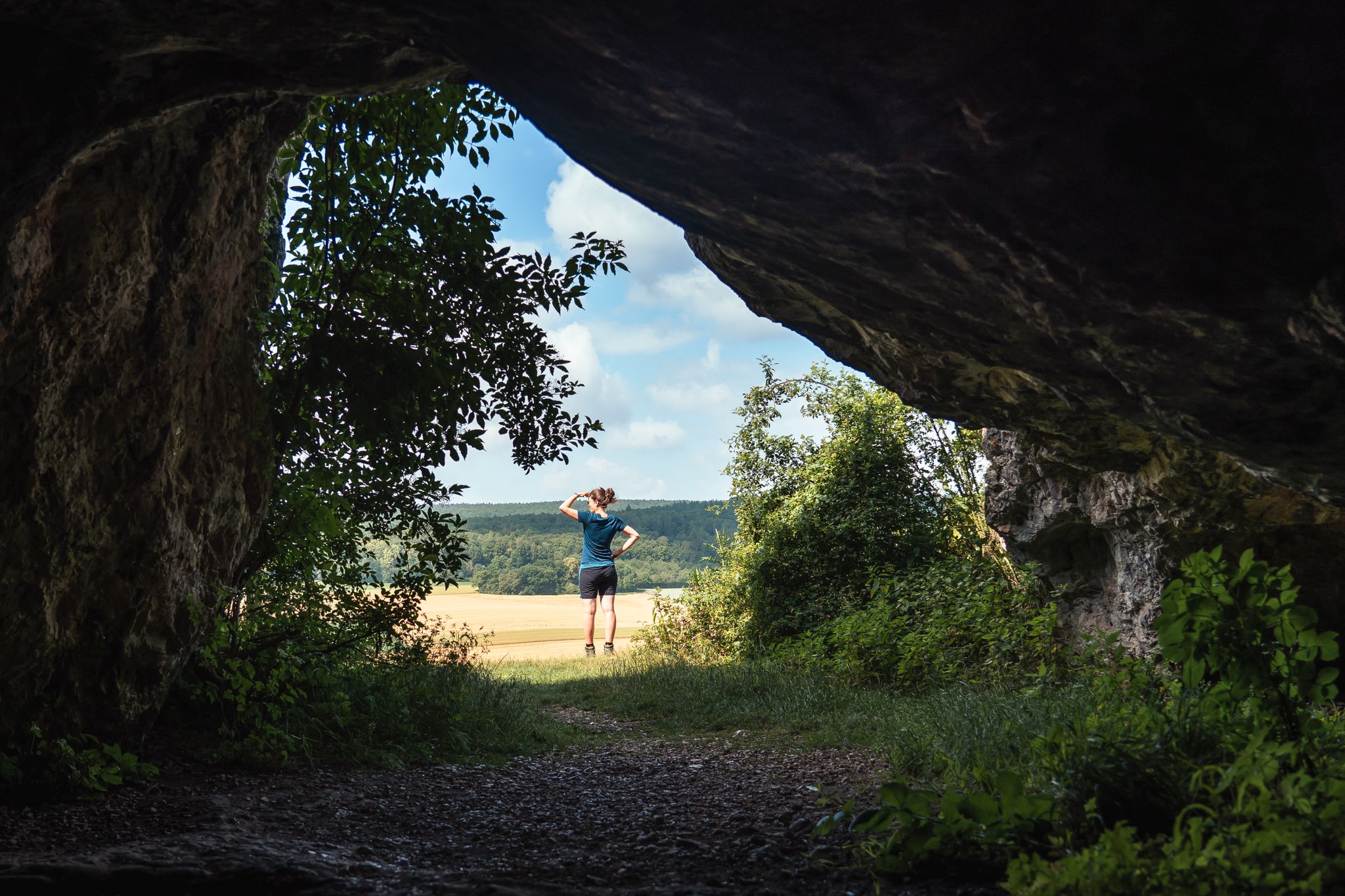
Historic and exciting – hiking in the DONAURIES holiday region
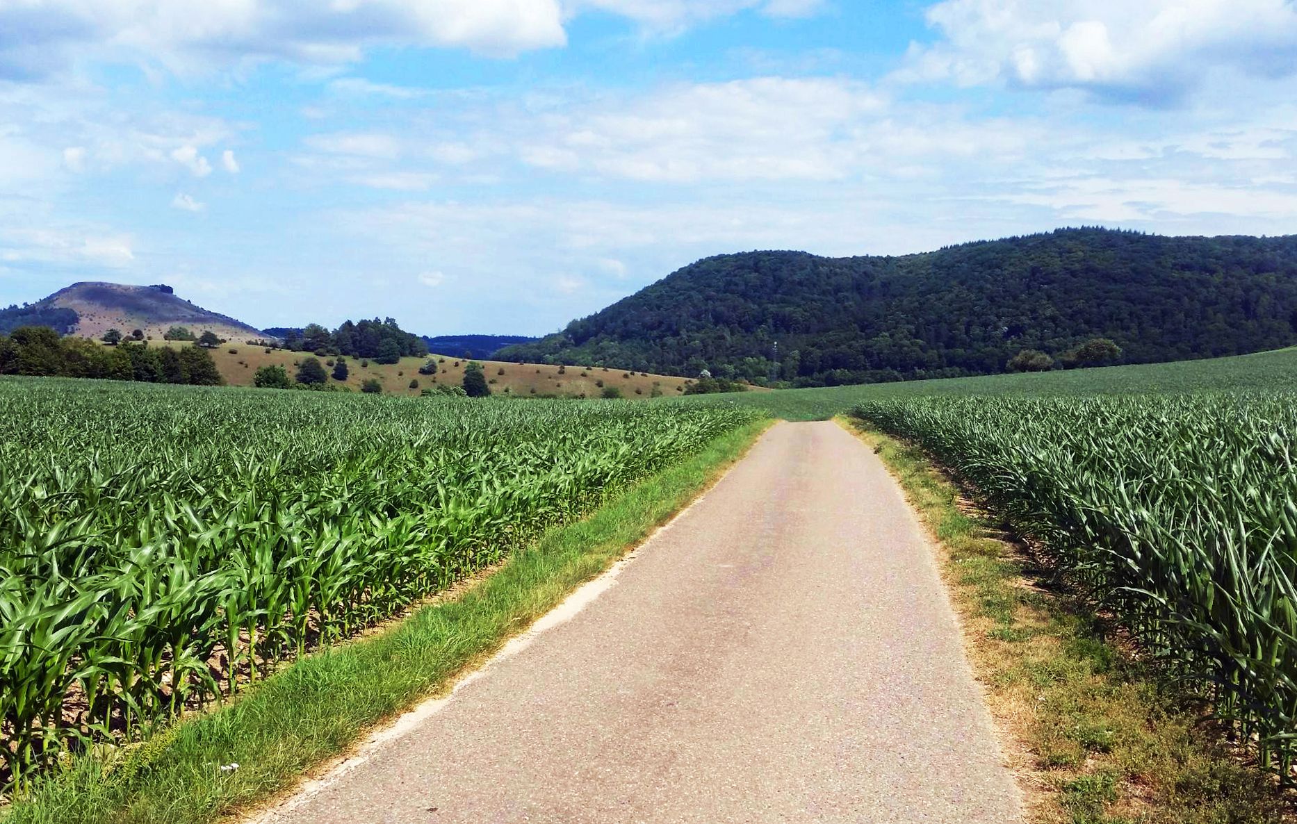
From Crater to Crater — 4 stages in the Geopark Ries and across the Swabian Alb
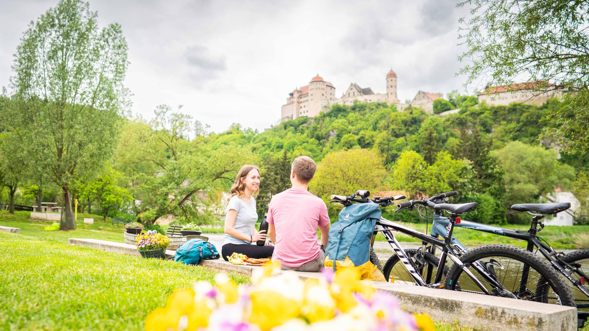
Cycle back in time in the Donau-Ries region
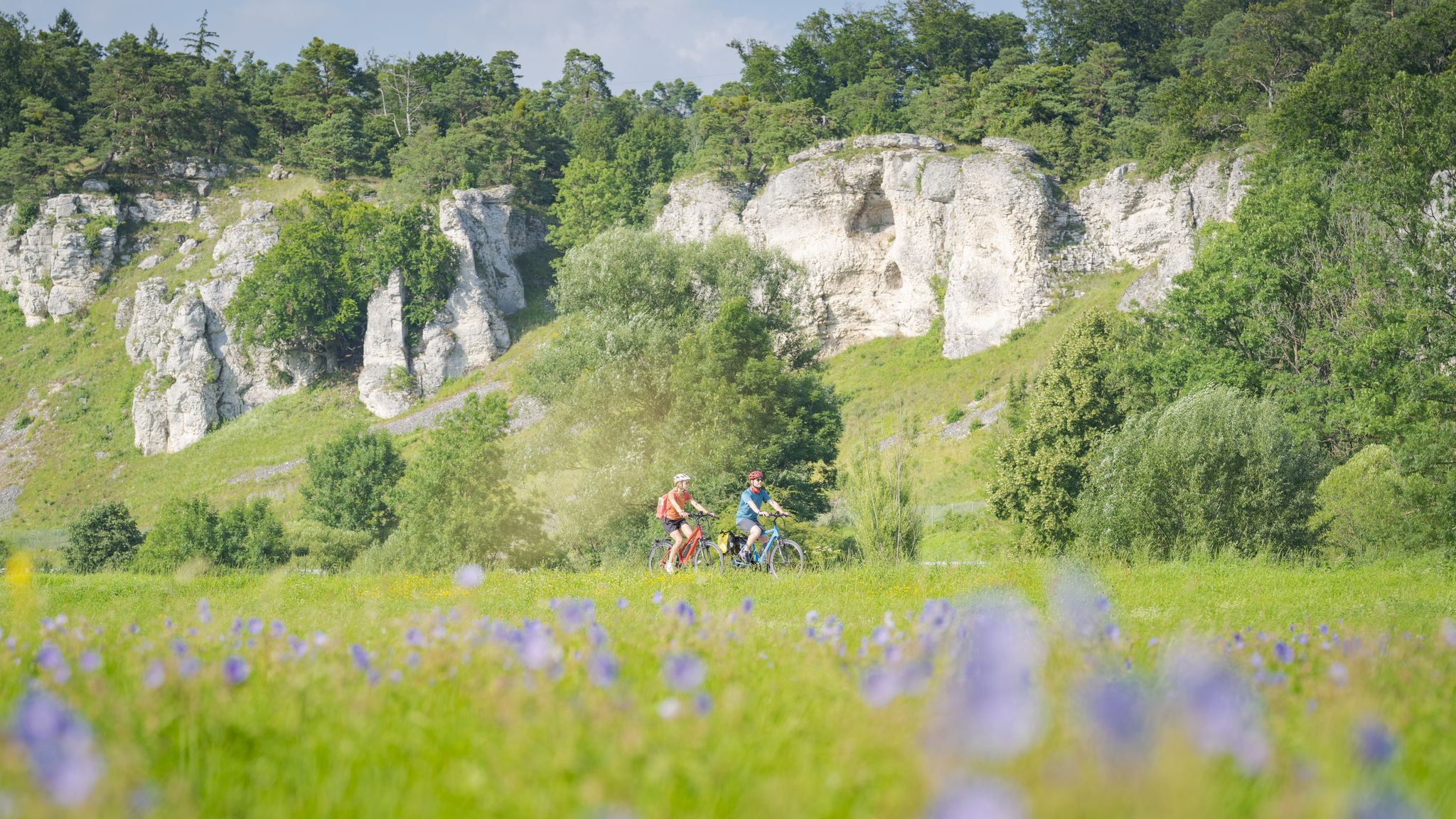
Altmühltal Geo cycle path – into the heart of the Earth's history

Hör hin, sieh mehr! – Lauschtouren in Bayerisch-Schwaben
Other adventures around Nördlingen


Tips from the Community

Super nice, the Schäferweg (shepherd's path) 🙂 On hot days you wish for more shady sections.
0
0
Great path here on the Marienhöhe not far from the outdoor pool 👍
0
0
A very interesting view of the quarry and the geological features of the Ries. It's worth checking out :-)
0
0
This is the way from the outdoor swimming pool towards Adlersberg :-)
0
0
Looking west, the Ipf is unmistakable.
0
0
Beautiful viewpoint, panoramic view into the Ries crater
0
0
This section runs along the Eger. Wonderfully refreshing in summer, it invites you to cool your feet 💦👣
0
0
Roman-era remains at the foot of the Ofnet Caves 👍
0
0
Frequently Asked Questions
How many bus station hiking trails are available around Nördlingen?
There are over 90 hiking trails around Nördlingen that are easily accessible from bus stations. This includes a wide variety of routes, from easy strolls to more challenging treks, allowing you to explore the unique Nördlinger Ries region.
What kind of landscapes can I expect on bus-accessible hikes in Nördlingen?
The bus-accessible hikes in Nördlingen offer diverse landscapes shaped by the ancient Nördlinger Ries meteorite impact crater. You can expect to traverse forests, walk along riverbanks, and enjoy rolling hills with panoramic views across the crater. The region is a UNESCO Global Geopark, highlighting its unique geological features.
Are there any easy, family-friendly bus station hikes in Nördlingen?
Yes, Nördlingen offers many easy and family-friendly routes accessible by bus. For example, the Witches' Rock, Nördlingen – Witch's Rock on Marienhöhe loop from Nördlingen is an easy 4.5 km hike. Another great option is the Nördlingen City Wall – Nördlingen Market Square loop from Nördlingen, which is an easy 7.5 km route that allows you to walk along the historic city wall.
Can I find circular hiking routes accessible by bus in Nördlingen?
Many of the bus-accessible hiking trails around Nördlingen are circular routes, perfect for exploring without needing to retrace your steps. The View of the Ofnet Caves – Great and Small Ofnet Caves loop from Ederheim is a moderate 8.5 km circular hike that takes you past significant historical sites.
What historical or natural landmarks can I see on these trails?
The bus station hiking trails around Nördlingen are rich with landmarks. You can explore the Great and Small Ofnet Caves, which offer a glimpse into ancient human history. The Witches' Rock, Nördlingen is another notable natural monument. Don't miss the opportunity to walk along Nördlingen's completely preserved medieval city wall.
Are there any moderate or challenging bus-accessible hikes for more experienced hikers?
Yes, for those seeking a more challenging experience, there are moderate routes available. The Linden Avenue Nördlingen – Witch's Rock on Marienhöhe loop from Nördlingen is a moderate 10.3 km hike with some elevation gain. Overall, 27 moderate and 5 difficult routes are accessible by bus, offering varied terrain and longer distances.
What is the best time of year to go hiking from bus stations in Nördlingen?
The best seasons for hiking in Nördlingen are typically spring and autumn. Spring offers beautiful blooming meadows and fields, while autumn provides a stunning backdrop of colorful foliage. The weather during these seasons is generally pleasant for outdoor activities.
What do other hikers enjoy most about hiking in Nördlingen?
The area is highly rated by the komoot community, with an average score of 4.6 stars from over 3,000 ratings. Reviewers often praise the unique geological features of the Nördlinger Ries, the well-preserved historic city wall, and the diverse, well-marked paths that cater to all skill levels.
Are there any riverside paths accessible by bus in Nördlingen?
Yes, you can find pleasant riverside paths. The Eger Riverside Path – Geopark Ries Scenic Landscapes loop from Nördlingen is an easy 5.6 km route that follows the Eger river, offering scenic views and a gentle terrain suitable for a relaxing walk.
Can I learn about the geology of the Nördlinger Ries while hiking?
Absolutely. The Nördlinger Ries is a UNESCO Global Geopark, and many trails offer insights into its unique geology. The region is famous for suevite rock, which contains microscopic diamonds. You can visit the Experience Geotope Lindle, a designated geological educational trail, or explore the RiesKraterMuseum in Nördlingen to deepen your understanding of this ancient meteorite impact crater.
Most popular routes around Nördlingen
Most popular attractions around Nördlingen

Get inspired with the komoot mobile app


Explore more
Browse the best Hikes in other regions.
