The best hikes from bus stations around Wiesensteig
4.6
(3760)
13,229
hikers
27
hikes
Bus station hiking trails around Wiesensteig are situated within the scenic Swabian Alb, characterized by diverse landscapes including mountain meadows, dense forests, and picturesque valleys. The region features the Albtrauf, a steep escarpment with white Jura rock outcrops like the Breitenstein Viewpoint, offering expansive vistas. Key natural features include the Filsursprung, the source of the Fils River, and various unique rock formations. This varied terrain provides a range of hiking experiences from gentle paths to more challenging ascents.
Best bus station hiking trails around Wiesensteig
- The most popular bus station hiking route is View of Neidlingen Valley – View of Reußenstein Castle loop from Wiesensteig, a difficult 11.5 miles (18.4 km) trail that takes 5 hours 13 minutes to complete, offering views of the Neidlingen Valley and Reußenstein Castle.
- Another top favourite among local hikers is Neidlingen Waterfall – Reußenstein Castle Ruins loop from Unter dem Burz, a moderate 4.9 miles (7.9 km) path. This route features a waterfall and the ruins of Reußenstein Castle.
- Local hikers also love the Source of the Fils – Young Fils loop from Unter dem Burz, a 13.0 miles (21.0 km) trail leading through the area around the Filsursprung, often completed in about 5 hours 46 minutes.
- Hiking around Wiesensteig is defined by mountain meadows, dense forests, and unique rock formations, with a network of routes offering options for different ability levels.
- The routes in Wiesensteig are highly rated by the komoot community with an average score of 4.6 stars from over 3,300 reviews. More than 13,000 hikers have used komoot to explore Wiesensteig's varied terrain.
Last updated: July 10, 2026
4.7
(863)
2,812
hikers
Hard hike. Very good fitness required. Easily-accessible paths. Suitable for all skill levels.
4.7
(33)
119
hikers
Moderate hike. Good fitness required. Mostly accessible paths. Sure-footedness required.

Sign up for free
4.8
(25)
100
hikers
21.0km
05:46
340m
350m
Hard hike. Very good fitness required. Easily-accessible paths. Suitable for all skill levels.
4.5
(19)
58
hikers
8.21km
02:15
130m
130m
Moderate hike. Good fitness required. Easily-accessible paths. Suitable for all skill levels.
4.4
(17)
55
hikers
10.0km
02:58
260m
260m
Moderate hike. Good fitness required. Mostly accessible paths. Sure-footedness required.
Get access to more routes and recommendations from other explorers.
Sign up for free
Already have an account?
Our route recommendations are based on thousands of hikes, rides, and runs completed by other people on komoot.
Start today with a free account
Your next adventure awaits.
Login or Signup
Popular around Wiesensteig
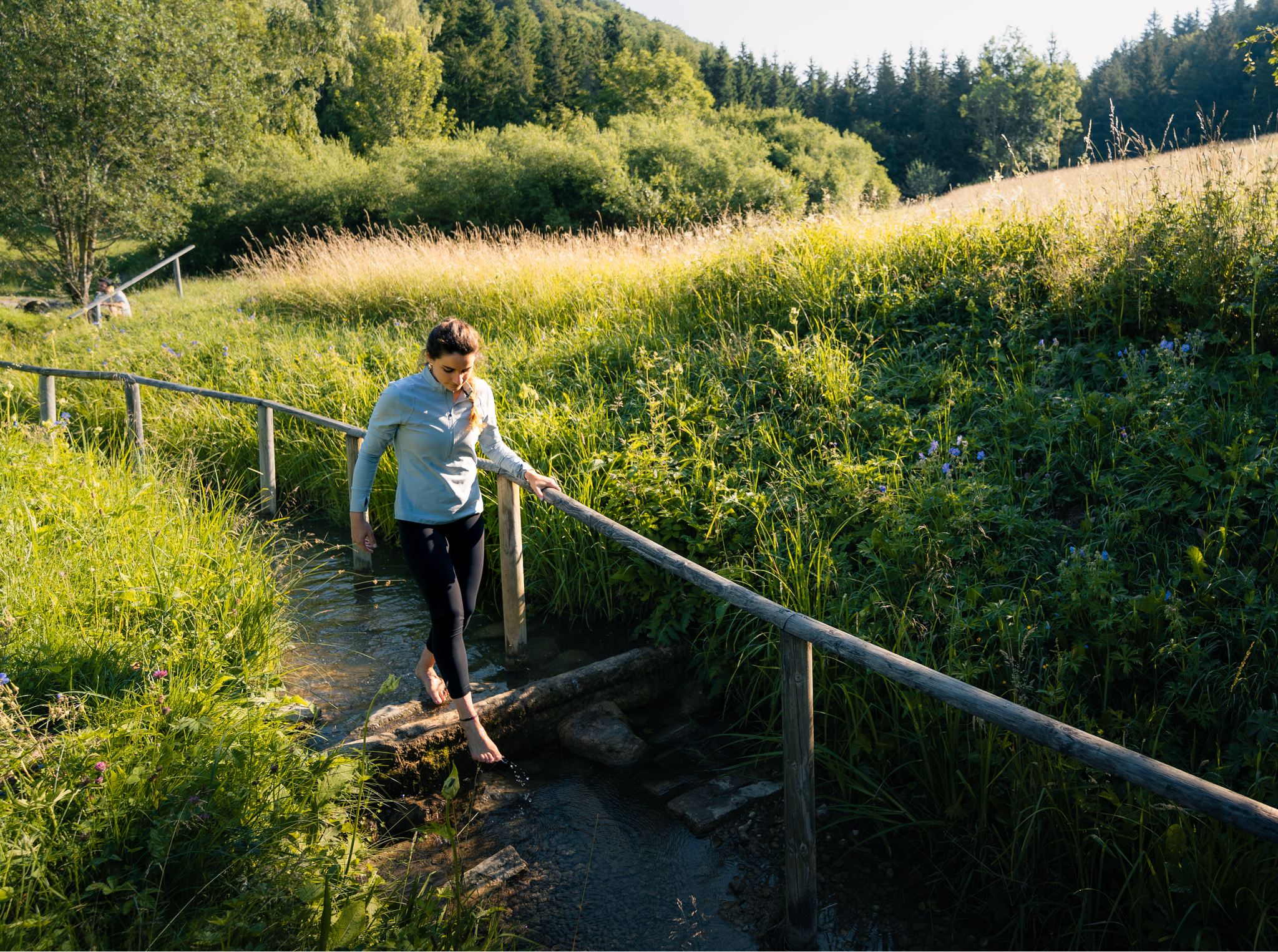
Hiking on the Swabian Alb with all your senses
Hiking the Süden – between Black Forest, Lake Constance and Swabian Alb
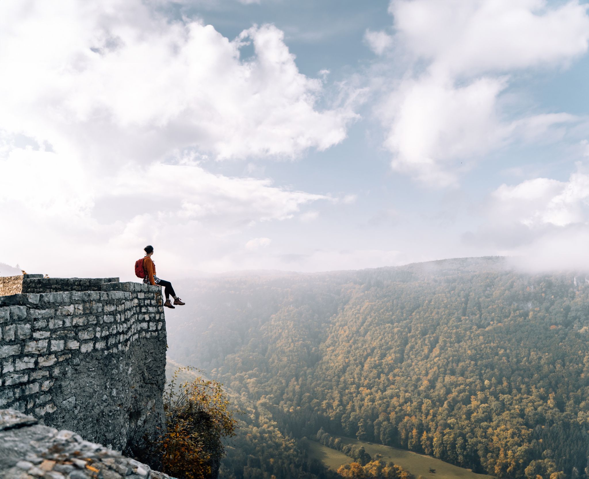
Fairytale hiking to the castles and palaces of the Swabian Alb
6 Long-Distance Hikes for Your Escape to the Swabian Alb
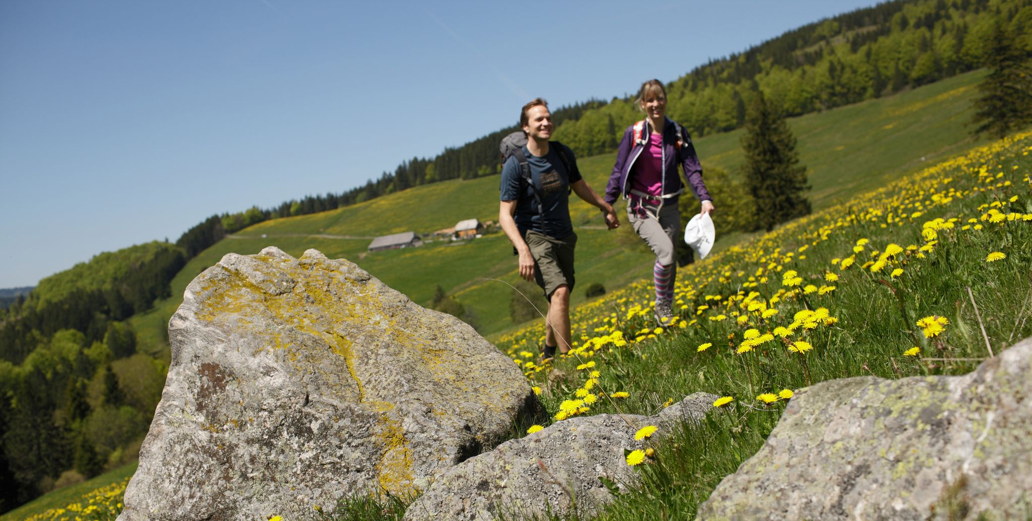
Spring in Germany’s Southwest – where hiking is best!

Discover premium and quality long-distance hiking in southern Germany
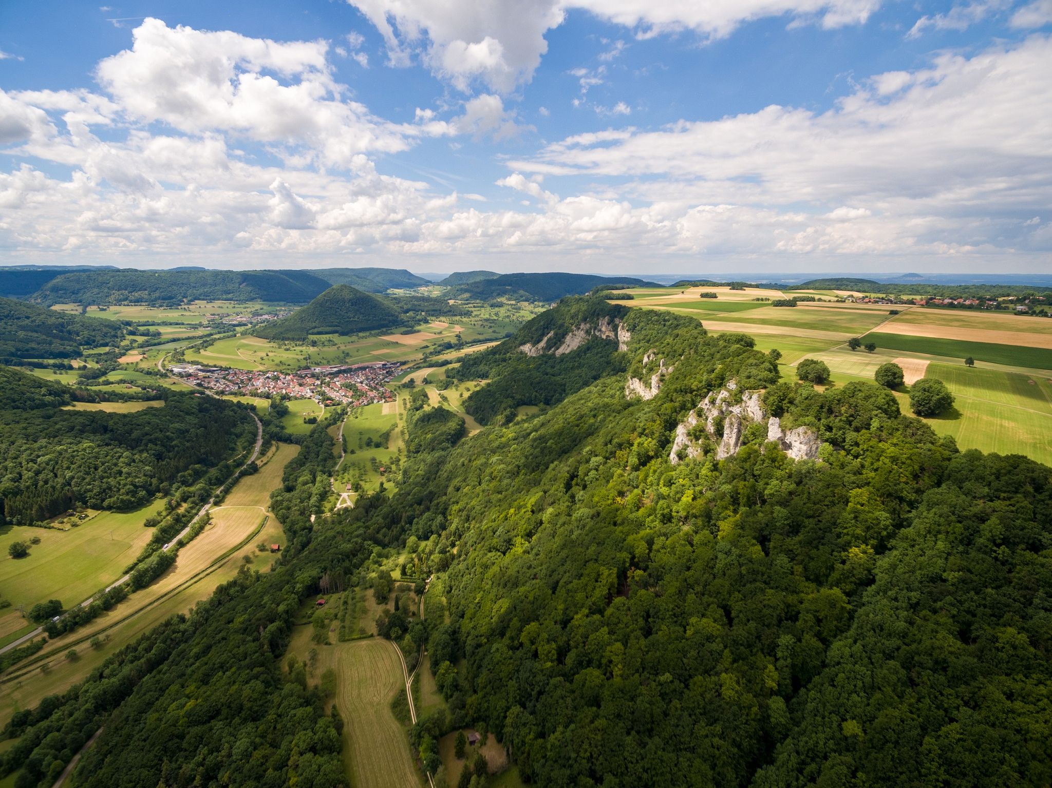
Fantastic ridge views – hiking on the Albtraufgaenger
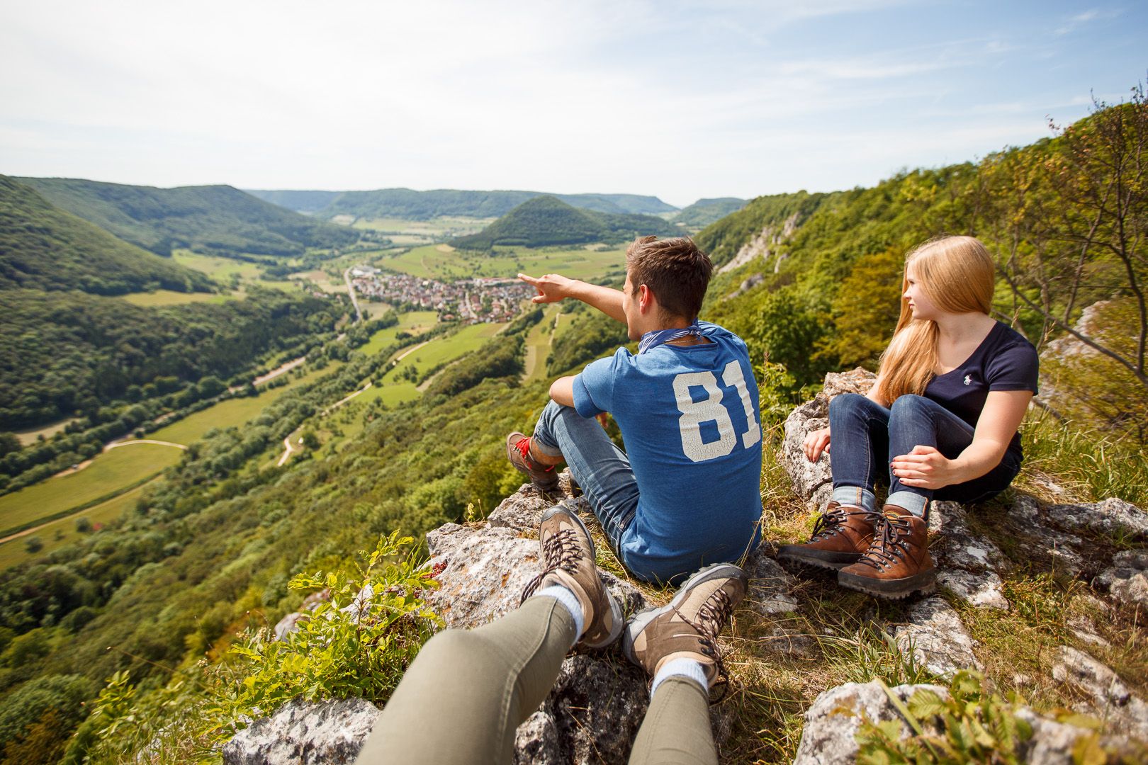
Lion Trails in the Swabian Alb – 16 Tours around Göppingen
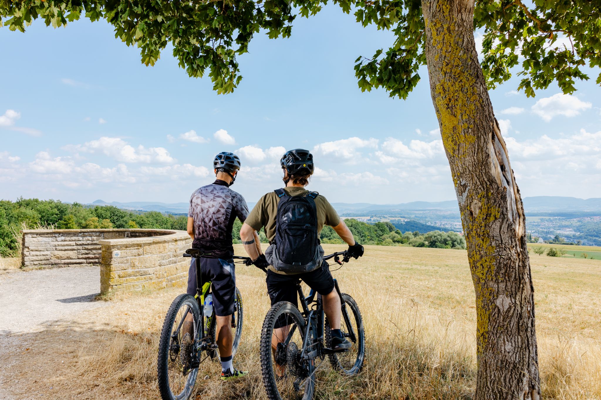
Up, down, Albwards! MTB adventures on the Schwäbische Alb

MTB flow in BW! Trails from the Schwarzwald to the Odenwald
Other adventures around Wiesensteig


Tips from the Community

Really beautiful valley, it's really fun to cycle next to the young, small Fils.
0
0

This is the upper part, just below the Ziegelhof after the ascent through the Autal. It actually has nothing to do with the Fils spring!
0
0

The route goes under the A8 motorway viaduct.
0
0

Great photo spot for Reußenstein!
2
0
A real highlight in winter, with plenty of icicles.
4
1

The Boßler is a prominent mountain in the Swabian Alps near Gruibingen, rising to 794.7 meters above sea level. From its vantage point on the edge of the Alb plateau, a sweeping view opens up across the Alb foothills – on a clear day, this extends far to the west. A large memorial cross also stands here, commemorating several tragic aircraft crashes that have occurred in the region since the 1940s.
4
0

Just walk the short path to the right
0
0
Path to the Stone Woman. Worth it
1
0
Frequently Asked Questions
How many bus-accessible hiking trails are available around Wiesensteig?
There are over 25 bus-accessible hiking trails around Wiesensteig, offering a wide range of options for different fitness levels and preferences. You'll find everything from easy strolls to more challenging routes.
What makes hiking around Wiesensteig unique when starting from a bus station?
Hiking from Wiesensteig's bus stations offers direct access to the diverse landscapes of the Swabian Alb. You can easily reach trails leading through beautiful mountain meadows, dense forests, and picturesque valleys like the Neidlingen Valley, without needing a car. Many routes are well-signposted and feature rest areas.
Are there easy hiking options accessible by bus in Wiesensteig?
Yes, Wiesensteig offers several easy hiking options that are accessible by bus. These trails are generally well-maintained and suitable for all skill levels, providing a gentle introduction to the region's natural beauty. For example, you can find routes that explore the immediate surroundings of Wiesensteig with minimal elevation gain.
What kind of terrain can I expect on bus-accessible trails around Wiesensteig?
The terrain on bus-accessible trails around Wiesensteig is quite varied. You can expect paths through lush mountain meadows, shaded forest tracks, and trails winding through scenic valleys. Some routes, especially those leading to viewpoints on the Albtrauf, may involve steeper ascents and descents over rugged plateaus.
Can I visit historical landmarks or viewpoints on bus-accessible hikes?
Absolutely. Many bus-accessible hikes in Wiesensteig lead to significant landmarks and offer fantastic views. For instance, you can hike to the impressive ruins of Reußenstein Castle, which is often integrated into routes. The Breitenstein Viewpoint is another natural monument offering spectacular panoramic vistas of the Swabian Alb.
Are there circular routes available from Wiesensteig bus stations?
Yes, Wiesensteig is known for its well-signposted circular hiking routes. Many of these trails are designed to start and end conveniently near bus stops, allowing you to complete a full loop without needing to retrace your steps. An example is the "Lämmerbuckel Hill – Wiesensteig Palace loop from Wiesensteig" which offers a scenic circular experience.
Are the bus-accessible trails around Wiesensteig suitable for families?
Many bus-accessible trails around Wiesensteig are suitable for families, offering varying distances and difficulty levels. Look for routes described as 'easy' or 'moderate' for family-friendly options. The region's diverse landscapes and educational panels along some paths can make for an engaging experience for children.
Are dogs allowed on the hiking trails accessible from Wiesensteig bus stations?
Generally, dogs are welcome on hiking trails in the Wiesensteig region. However, it's always recommended to keep them on a leash, especially in nature reserves, near livestock, or in crowded areas. Please ensure you carry waste bags and clean up after your pet to maintain the natural environment for everyone.
Where can I find refreshments or rest areas along these bus-accessible trails?
Many trails around Wiesensteig are equipped with numerous rest areas, benches, and even drinking fountains, enhancing comfort for hikers. Some routes also pass by establishments where you can find culinary delights. It's advisable to check the specific route details on komoot for information on refreshment stops along your chosen path.
What do other hikers say about the bus-accessible trails in Wiesensteig?
The bus-accessible trails around Wiesensteig are highly rated by the komoot community, with an average score of 4.6 stars. Reviewers often praise the diverse scenery, well-maintained paths, and the convenience of accessing beautiful natural spots directly from public transport. The views from points like Breitenstein Viewpoint and the historical charm of Reußenstein Castle are frequently highlighted.
Are there any trails from bus stations that feature waterfalls?
Yes, the region offers trails that include natural water features. For example, the "Neidlingen Waterfall – Reußenstein Castle Ruins loop from Unter dem Burz" is a moderate route that allows you to experience the Neidlingen Waterfall, providing a refreshing natural highlight during your hike.
What is the best time of year to hike from Wiesensteig bus stations?
Wiesensteig offers enjoyable hiking experiences throughout the year. Spring brings blooming meadows, while summer provides lush green forests. Autumn is particularly scenic with vibrant fall foliage, and even winter offers serene, snow-covered landscapes for those prepared for colder conditions. Always check local weather forecasts before heading out.
Most popular routes around Wiesensteig
Most popular attractions around Wiesensteig

Get inspired with the komoot mobile app


Explore more
Browse the best Hikes in other regions.
