The best hikes from bus stations around Wertach
4.6
(17727)
70,607
hikers
88
hikes
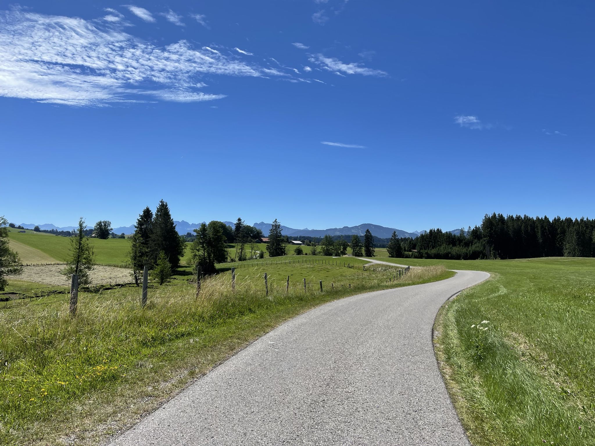
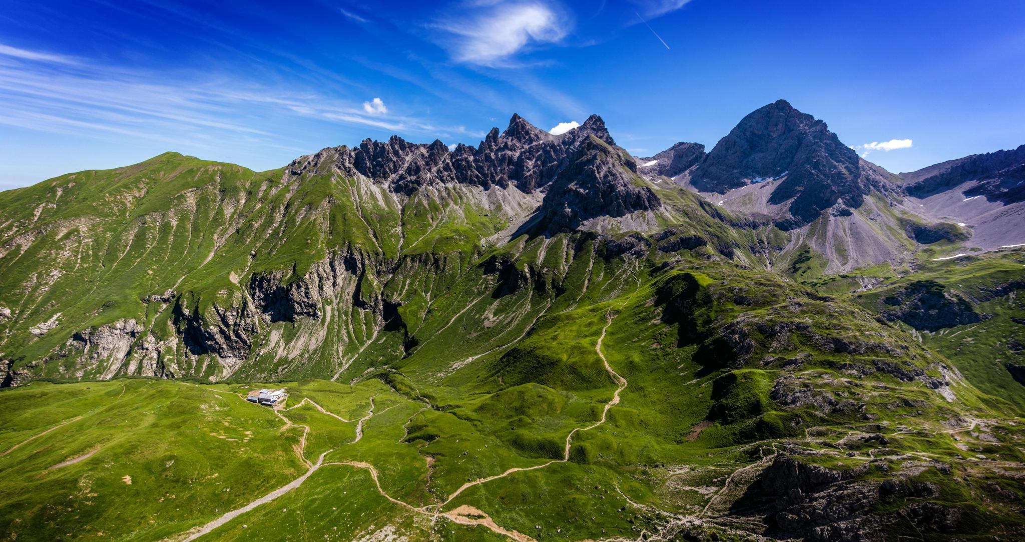
Bus station hiking trails around Wertach offer access to the diverse landscapes of Germany's Oberallgäu region. The area is characterized by the Allgäu Alps, featuring rocky peaks and steep grassy mountains, alongside serene bodies of water like Grüntensee and the Wertach River. Hikers will encounter expansive green meadows, dense forests, and significant high moorland areas, with elevations ranging from gentle slopes to challenging ascents.
Best bus station hiking trails around Wertach
- The most popular bus station hiking route is Wertach…
Last updated: September 30, 2026
4.8
(225)
895
hikers
Moderate hike. Good fitness required. Mostly accessible paths. Sure-footedness required.
4.7
(79)
253
hikers
6.00km
01:47
190m
190m
Easy hike. Great for any fitness level. Easily-accessible paths. Suitable for all skill levels.

4.8
(51)
217
hikers
16.6km
05:29
730m
730m
Hard hike. Very good fitness required. Easily-accessible paths. Suitable for all skill levels.
4.6
(43)
232
hikers
5.91km
01:40
120m
120m
Easy hike. Great for any fitness level. Easily-accessible paths. Suitable for all skill levels.
4.6
(27)
137
hikers
20.5km
06:35
840m
840m
Hard hike. Very good fitness required. Mostly accessible paths. Sure-footedness required.
Get access to more routes and recommendations from other explorers.
Already have an account?
Our route recommendations are based on thousands of hikes, rides, and runs completed by other people on komoot.
Start today with a free account
Your next adventure awaits.

Other adventures around Wertach


Tips from the Community

In beautiful weather, you should take the time to enjoy this view. It is also nice to take a break when you find a bench.
0
0

Always impressive – especially in winter!
0
0

Super great Alpe, the cheese platter is mega delicious.
0
0

The reservoir was completed in 1962 and is used for flood protection and power generation. The Grüntensee and some areas of its shores are also used as recreational areas. On the north shore of the Grüntensee is the Kletterwald Grüntensee (a high ropes course). The lake was named after the Grünten mountain, which is about 11 kilometers southwest and is a striking feature on the northern edge of the Allgäu Alps. Source: https://de.wikipedia.org/wiki/Gr%C3%BCntensee
1
0
From the Alpe Obere Reuterwanne a meadow path leads directly to the summit of the Reuterwanne.
1
0

the horses were very trusting
0
0
across the pasture
0
0
Very nice waterfall with sometimes more, sometimes less water
0
0
Frequently Asked Questions
How many hiking trails are accessible directly from bus stations around Wertach?
There are nearly 90 hiking trails around Wertach that are easily accessible from bus stations. These routes offer a wide range of experiences, from leisurely strolls to challenging mountain ascents, all designed for convenient public transport access.
Are there easy, family-friendly hikes accessible by bus in Wertach?
Yes, Wertach offers over 30 easy hikes perfect for families, many of which are accessible by bus. A great option is the Wertach Nature Discovery Trail – Schiessbachtobel loop, which features interactive elements like a tree telephone and a barefoot path, making it highly experiential for all ages. The region's nature adventure trails are specifically designed for immersive experiences.
Can I find circular hiking routes starting from bus stops in Wertach?
Absolutely. Many of the bus-accessible trails in Wertach are circular, allowing you to start and end your hike at the same bus stop. For example, the View of Wertach and Ellegghöhe – Bichel Loop Trail loop offers scenic views and is an easy circular option.
What kind of terrain can I expect on bus-accessible hikes in Wertach?
The terrain around Wertach is incredibly diverse. You'll find everything from expansive green meadows and dense forests to significant high moorland areas. Some routes, like those leading to the Wertacher Hörnle, feature predominantly forested areas and elongated mountain ridges, while others, such as the View of Grüntensee – View from Reuterswanne Summit loop, offer more open, panoramic sections.
Are there any challenging hikes from bus stations for experienced hikers?
Yes, for experienced hikers seeking a challenge, there are 8 difficult routes accessible by bus. The Wertacher Hörnle – View of Lake Hörnlesee loop is a demanding option offering wide meadows, quiet forests, and a significant ascent. Another challenging route is the View of Lake Hörnlesee – View of the Allgäu High Alps loop, requiring good fitness and sure-footedness.
What natural attractions can I see along bus-accessible hiking trails in Wertach?
Wertach's bus-accessible trails lead to a wealth of natural attractions. You can explore the dramatic Starzlach Gorge, discover the captivating Hinanger Waterfall, or hike along the picturesque Wertach River and Grüntensee. The region is also known for its high moorland areas and the impressive Allgäu Alps.
Are dogs allowed on hiking trails accessible by bus in Wertach?
Generally, dogs are welcome on hiking trails in Wertach. However, as two-thirds of the walking areas are protected nature conservation zones, it's always best to keep your dog on a leash, especially in sensitive habitats, near grazing livestock, or in designated wildlife areas. Always carry waste bags and ensure your dog doesn't disturb local flora and fauna.
What do other hikers say about the bus-accessible trails in Wertach?
The hiking trails around Wertach are highly rated by the komoot community, with an average score of 4.6 out of 5 stars from over 15,500 ratings. Reviewers often praise the diverse landscapes, the stunning panoramic views of the Allgäu Alps, and the well-maintained paths that cater to all skill levels.
Are there any huts or places to stop for refreshments along the bus-accessible routes?
Yes, many trails in the Wertach region pass by traditional huts and alpine pastures where you can stop for refreshments. Notable options include the Grüntenhaus and Kappeler Alp, offering local delicacies and stunning views. It's always a good idea to check opening times, especially outside peak season.
When is the best time of year to hike from bus stations in Wertach?
Wertach is a fantastic hiking destination year-round. Spring and autumn offer pleasant temperatures and vibrant colors, while summer provides lush green landscapes. Even in colder months, Wertach offers maintained trails for winter hiking and snowshoeing, such as routes to the Wertacher Hörnle. The best time depends on your preferred activity and weather conditions.
Are there any specific bus routes or stops that serve popular trailheads?
Wertach's local bus network is designed to connect visitors to key areas. Many popular trailheads, including those for the Grüntensee and routes towards the Wertacher Hörnle, have nearby bus stops. It's recommended to check the local bus schedule for specific routes and timings to plan your journey effectively to and from the trailheads.
Most popular routes around Wertach
Most popular attractions around Wertach

Get inspired with the komoot mobile app


Explore more
Browse the best Hikes in other regions.
