The best city hikes and walks around Witten
4.5
(7553)
27,689
hikers
22
hikes
Urban hiking trails around Witten are characterized by their location within the Ruhr Valley, offering a diverse landscape for exploration. The region features the Ruhr River, providing numerous paths along its banks, alongside areas of dense woodlands and surrounding hills. Industrial heritage sites are often integrated into the trail network, offering a blend of nature and history. This varied terrain provides options for different levels of urban hiking.
Best urban hiking trails around Witten
- The most popular urban hiking route is Nachtigall Mine Station – Nachtigall Bridge with a view of the Ruhr loop from Witten, a 3.6 miles (5.9 km) trail that takes 1 hour 32 minutes to complete. This easy route offers views of the Ruhr River.
- Another top favourite among local hikers is Nachtigall Bridge with a view of the Ruhr – Haus Witten loop from Witten Hbf, an easy 3.9 miles (6.3 km) path. This route provides further perspectives of the Ruhr and passes by local landmarks.
- Local hikers also love the Am Ballroth – Rheinischer Esel Trail loop from Witten Hbf, a 10.9 miles (17.5 km) trail leading through varied terrain, often completed in about 4 hours 33 minutes.
- Hiking around Witten is defined by trails along the Ruhr River, through local woodlands, and past industrial heritage sites. The network offers options for both easy strolls and more moderate, longer routes.
- The routes in Witten are highly rated by the komoot community with an average score of 4.5 stars from over 6000 reviews. More than 26000 hikers have used komoot to explore Witten's varied terrain.
Last updated: July 13, 2026
4.8
(4)
39
hikers
Easy hike. Great for any fitness level. Easily-accessible paths. Suitable for all skill levels.
3.9
(11)
36
hikers
Easy hike. Great for any fitness level. Easily-accessible paths. Suitable for all skill levels.

Sign up for free
4.5
(11)
40
hikers
17.5km
04:34
120m
120m
Moderate hike. Good fitness required. Easily-accessible paths. Suitable for all skill levels.
4.0
(5)
34
hikers
4.71km
01:14
30m
30m
Easy hike. Great for any fitness level. Easily-accessible paths. Suitable for all skill levels.
2.0
(1)
32
hikers
Easy hike. Great for any fitness level. Easily-accessible paths. Suitable for all skill levels.
Get access to more routes and recommendations from other explorers.
Sign up for free
Already have an account?
Our route recommendations are based on thousands of hikes, rides, and runs completed by other people on komoot.
Start today with a free account
Your next adventure awaits.
Login or Signup
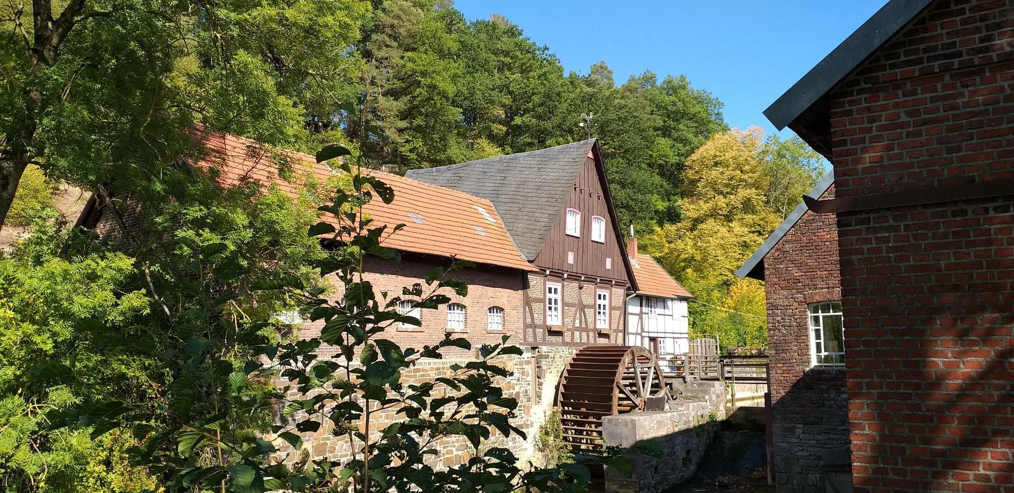
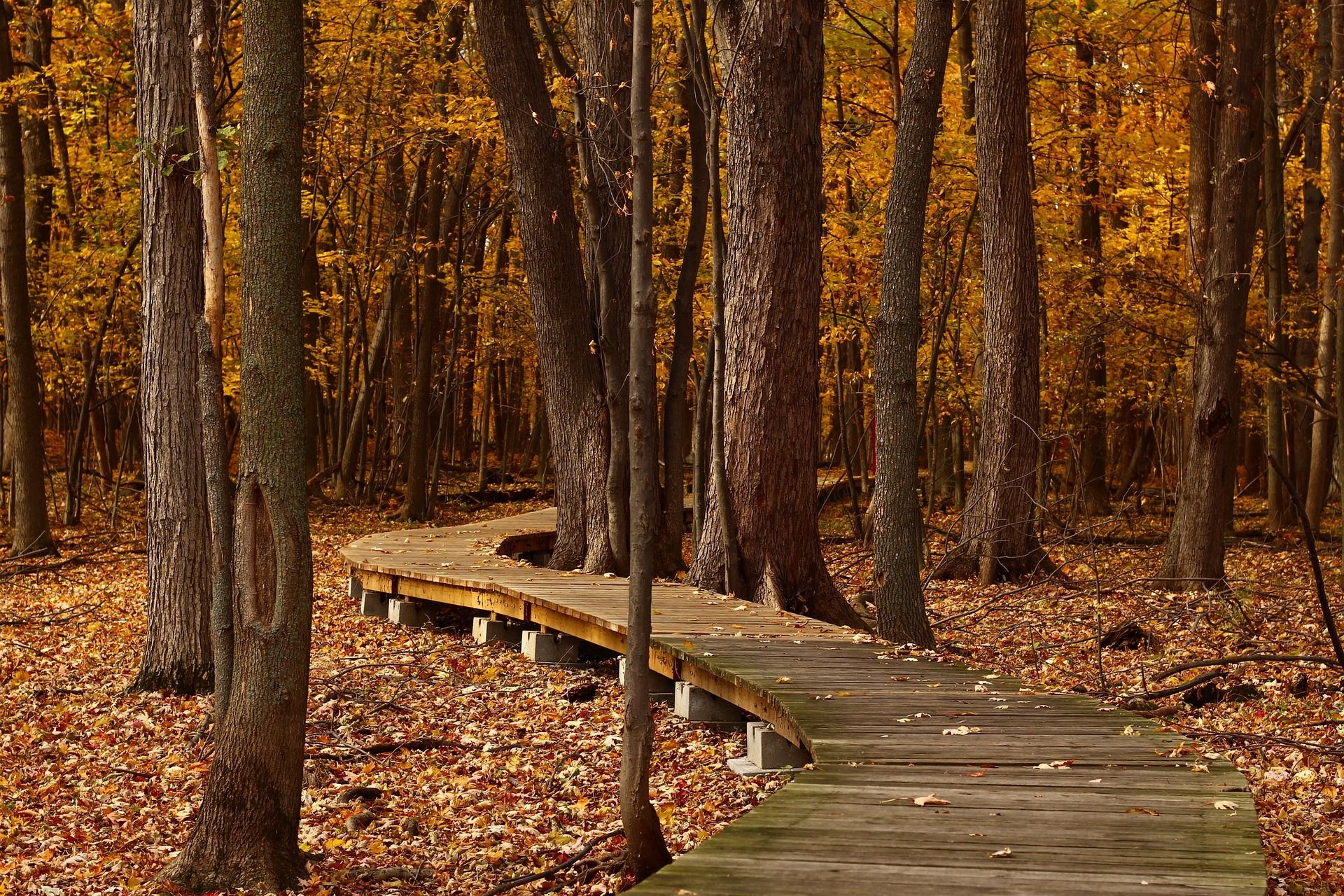
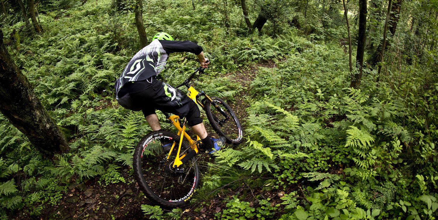
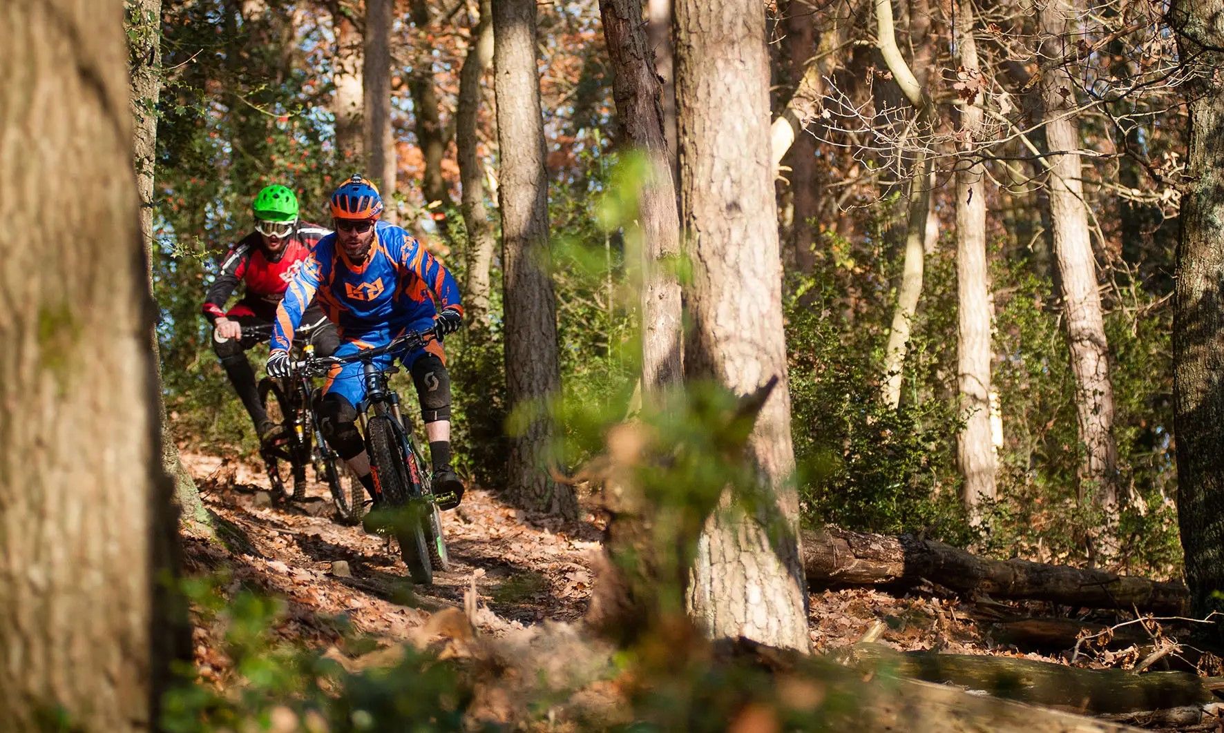
Other adventures around Witten


Tips from the Community

As is so often the case with old train stations
0
0

The old Witten-Annen Süd stop is located here at the Rheinischer Esel.
0
0

This is where the quarrels just happen.
0
0

The former Witten-Annen Süd stop is located on the former Dortmund-Löttringhausen–Bochum-Langendreer railway line, popularly known as the “Rheinischer Esel”. This line was opened in 1880 by the Rhenish Railway Company and served both passenger and freight traffic. The Witten-Annen Süd stop was put into operation in 1880 and played an important role for local industry, especially the nearby Vereinigte Hamburg mine. Over time, however, the line lost importance and passenger traffic was discontinued on November 30, 1979. Freight traffic was gradually reduced and finally completely discontinued on December 31, 2004. Today, the former stop is part of the popular “Rheinischer Esel” cycle and hiking trail, which runs along the old railway line and connects Dortmund with Witten. The former Witten-Annen Süd station is somewhat hidden on Hellerstrasse near the Düwelssiepen junction at the end of a dead-end street. Although the tracks have been removed, some relics of the railway past are still visible, reminding us of the historical significance of this place.
0
0

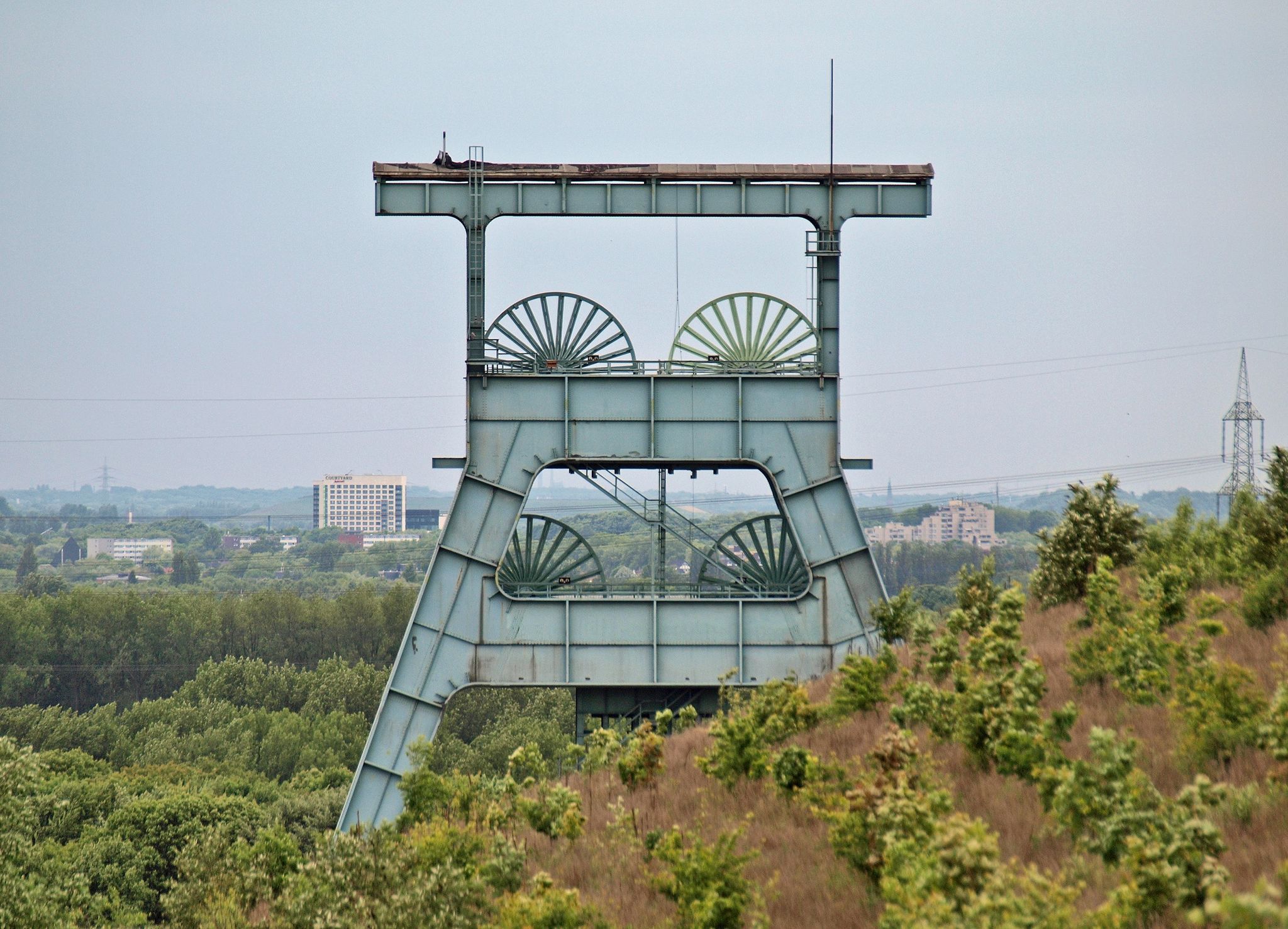
The Braunschweig South Wing tunnel is a historic mining tunnel in Witten, North Rhine-Westphalia. It belongs to the former Braunschweig mine, which was in operation between 1748 and 1886. The tunnel is located near the German Mining and Field Railway Museum and the former forced labor camp Nachtigallstrasse2. The Braunschweig mine consisted of two wings, the north wing and the south wing. Mining in the south wing began in 1750 and was operated by the tradesmen Johann Peter Hundeiker and Gerhard Peter Merklinghaus. Today the tunnel is part of the Route of Industrial Heritage and a popular destination for hikes and circular walks. Source: KI
1
0

West of the branch that leads from Nachtigallstraße to Steinhausen, the Mausegatt coal seam appeared on the steep mountain slope. The coal layer was awarded on February 6, 1751 under the name Braunschweig. It sank to the south to the Borbecker Mulde and to the north to the Nachtigaller Mulde. Source: "When coal was still the future"; Gerhard Koetter, Klartext publishing house
1
0
The Ruhr Valley Railway is a partially historic railway line from Düsseldorf-Rath via Essen-Kupferdreh, Bochum-Dahlhausen, Hattingen, Hattingen-Welper, Hattingen-Blankenstein, Witten-Herbede, Hagen-Vorhalle and Schwerte to Warburg. (...) The Ruhr Valley Railway was primarily used to transport coal to the Ruhrort port, bypassing the Heißener Berg. (...) The Middle Ruhr Valley Railway was put into operation on December 28, 1869 from Dahlhausen (Ruhr) via Hattingen on the left (southern) side of the Ruhr to Henrichshütte in Welper. On June 1, 1874, it was extended via Herbede and Wengern Ost to Herdecke (today: Vorhalle). (...) Public passenger transport on the Hattingen–Wengern Ost section was discontinued on May 23, 1971. (...) The (middle) Ruhr Valley Railway has been used since the beginning of 2005 as a railway for tourist scheduled services on the Bochum-Dahlhausen–Hattingen–Herbede–Wengern Ost–Hagen-Vorhalle–Hagen Hbf section, after the Bochum-Dahlhausen Railway Museum had already operated its own museum train service between Hattingen and Wengern Ost or Oberwengern between 1981 and 2004. (...) During the tourist season, however, the Ruhr Valley route is mainly used by historic steam trains from the Bochum-Dahlhausen Railway Museum or by nostalgic rail buses. (...) In addition to tourist services, freight transport takes place on the route every working day for a forwarding and logistics company in Hattingen and a large scrap metal recycling company in Herbede, which is operated by DB Cargo. (...) On a section of the middle Ruhr Valley Railway, the Ruhr Valley Cycle Path, which was built by the Ruhr Regional Association between 2005 and 2006, runs alongside the route between the Hardenstein ruins and Wengern on the site of a former second track. (...) Since July 2020, it has been examined whether the Hattingen-Hagen section should be reactivated for local rail passenger transport. A feasibility study has been drawn up for this purpose, which, in addition to the Hattingen-Hagen connection, also takes into account the connection to Witten Central Station via the Ruhr viaduct of the Elbschetalbahn. (...) Source and link to the full article: https://de.wikipedia.org/wiki/Ruhrtalbahn
2
0

An eye-catcher in the station lobby.
0
0
Frequently Asked Questions
How many urban hiking trails are available in Witten?
Witten offers a wide selection of urban hiking trails, with over 20 routes available on komoot. These trails vary in length and difficulty, providing options for different preferences.
Are the urban hiking trails in Witten suitable for beginners or casual walkers?
Yes, many urban hiking trails in Witten are very accessible. The majority, around 18 of the routes, are rated as easy, making them perfect for beginners, families, or those looking for a relaxed stroll. For example, the Nachtigall Mine Station – Nachtigall Bridge loop offers a gentle walk with scenic views.
What kind of landscapes can I expect on urban hikes around Witten?
Urban hikes in Witten often blend natural beauty with the city's unique character. You'll find trails along the picturesque Ruhr River, through local woodlands, and paths that incorporate elements of the region's industrial heritage. The area around Lake Kemnade also offers pleasant, paved paths.
Are there family-friendly urban hikes in Witten?
Absolutely. Many of Witten's urban trails are suitable for families, featuring easy terrain and shorter distances. The paths around Lake Kemnade are particularly popular for families, offering flat surfaces and recreational activities. Look for routes marked as 'easy' for the most family-friendly options.
Can I bring my dog on urban hikes in Witten?
Yes, Witten's urban hiking trails are generally dog-friendly. Many paths, especially those through woodlands and along the Ruhr River, are great for walks with your canine companion. Always remember to keep your dog on a leash where required and clean up after them.
What historical landmarks or natural sights can I discover on Witten's urban trails?
Witten's urban trails offer a blend of history and nature. You can explore remnants of the region's mining past in areas like the Muttental, or discover historical structures. Notable nearby attractions include the Hardenstein Castle Ruins and Blankenstein Castle, which offer fascinating glimpses into the past.
Where can I find the best viewpoints on urban hikes in Witten?
For stunning panoramic views, consider trails that ascend Witten's surrounding hills, such as sections of the Höhenweg Trail. You can also find excellent vantage points at historical sites like Blankenstein Castle, which overlooks the Ruhr Valley. The Kaiser Friedrich Tower is another highlight offering expansive views.
How accessible are Witten's urban hiking trails by public transport?
Many urban hiking trails in Witten are well-connected to public transport. The city's central station (Witten Hbf) serves as a good starting point for several routes, such as the Nachtigall Bridge – Haus Witten loop. Local bus and train services can take you close to various trailheads, making it easy to start your adventure without a car.
When is the best time of year for urban hiking in Witten?
The best time for urban hiking in Witten is generally between spring and autumn. During these seasons, temperatures are mild, and nature is in full bloom, offering vibrant scenery. However, winter hikes can also be appealing, especially through snow-covered landscapes, providing a different kind of charm.
Are there cafes or places to stop for refreshments along the urban trails?
Yes, especially on popular routes and in areas like Lake Kemnade, you'll find various amenities. Lake Kemnade, for instance, features restaurants, cafes, and even a beach bar, perfect for a break. Trails passing through Witten's city center or nearby villages will also offer opportunities for refreshments.
What do other hikers enjoy most about urban hiking in Witten?
The urban hiking experience in Witten is highly rated by the komoot community, with an average score of 4.5 stars. Reviewers often praise the diverse landscapes, the blend of nature and industrial heritage, and the well-maintained paths that make exploring the city and its surroundings enjoyable for all skill levels.
Most popular routes around Witten
Most popular attractions around Witten

Get inspired with the komoot mobile app


Explore more
Browse the best Hikes in other regions.
