The best traffic-free bike rides around Rauris
4.3
(215)
7,011
riders
19
rides
No traffic road cycling routes around Rauris are set within the Hohe Tauern National Park, a region characterized by impressive mountains, picturesque valleys, and the Rauriser Ache River. The landscape offers a diverse backdrop for road cyclists, ranging from valley routes to high alpine passes. This area provides varied terrain, from relatively flat sections along the river to challenging climbs through mountainous environments.
Best no traffic road cycling routes around Rauris
- The most popular no traffic road cycling route is Fuscherkarkopf – Grossglockner High Alpine Road loop from Hochtor, a 29.7 miles (47.8 km) trail that takes 3 hours 36 minutes to complete. This route features significant elevation gain and is part of the iconic Grossglockner High Alpine Road.
- Another top favourite among local road cyclists is Hochtor Pass Summit (2,504 m) – Fuscherkarkopf loop from Heiligenblut, a difficult 27.1 miles (43.6 km) path. This route offers sustained climbing to high mountain passes with expansive views of the surrounding alpine landscape.
- Local road cyclists also love the Hochtor Pass Summit (2,504 m) – Heiligenblut from above loop from Hochtor, a 18.9 miles (30.5 km) trail leading through high mountain terrain, often completed in about 2 hours 23 minutes.
- Road cycling around Rauris is defined by high alpine passes, picturesque valleys, and the scenic Rauriser Ache River. The network offers options for different ability levels, from challenging mountain climbs to more moderate valley routes.
- The routes in Rauris are highly rated by the komoot community with an average score of 4.4 stars from over 200 reviews. More than 7,800 road cyclists have used komoot to explore Rauris's varied terrain.
Last updated: September 30, 2026
4.8
(8)
270
riders
43.6km
03:19
1,800m
1,800m
Hard road ride. Very good fitness required. Mostly well-paved surfaces and easy to ride.
4.8
(4)
95
riders
24.0km
01:40
840m
840m
Moderate road ride. Good fitness required. Mostly well-paved surfaces and easy to ride.

3.0
(1)
171
riders
Easy road ride. Great for any fitness level. Mostly well-paved surfaces and easy to ride.
4.2
(5)
418
riders
54.4km
02:29
500m
500m
Moderate road ride. Good fitness required. Mostly well-paved surfaces and easy to ride.
5.0
(1)
99
riders
Easy road ride. Great for any fitness level. Mostly well-paved surfaces and easy to ride.
Get access to more routes and recommendations from other explorers.
Already have an account?
Our route recommendations are based on thousands of hikes, rides, and runs completed by other people on komoot.
Start today with a free account
Your next adventure awaits.
Popular around Rauris
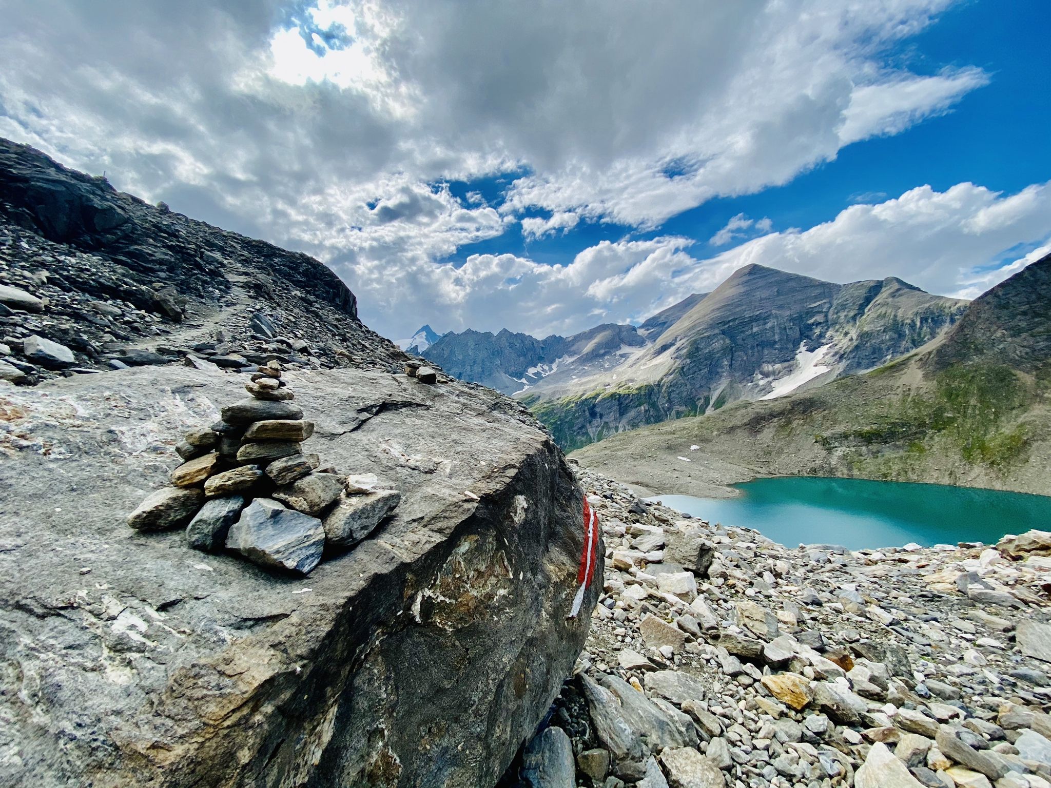
The Tauernhöhenweg – Once across the Hohe Tauern
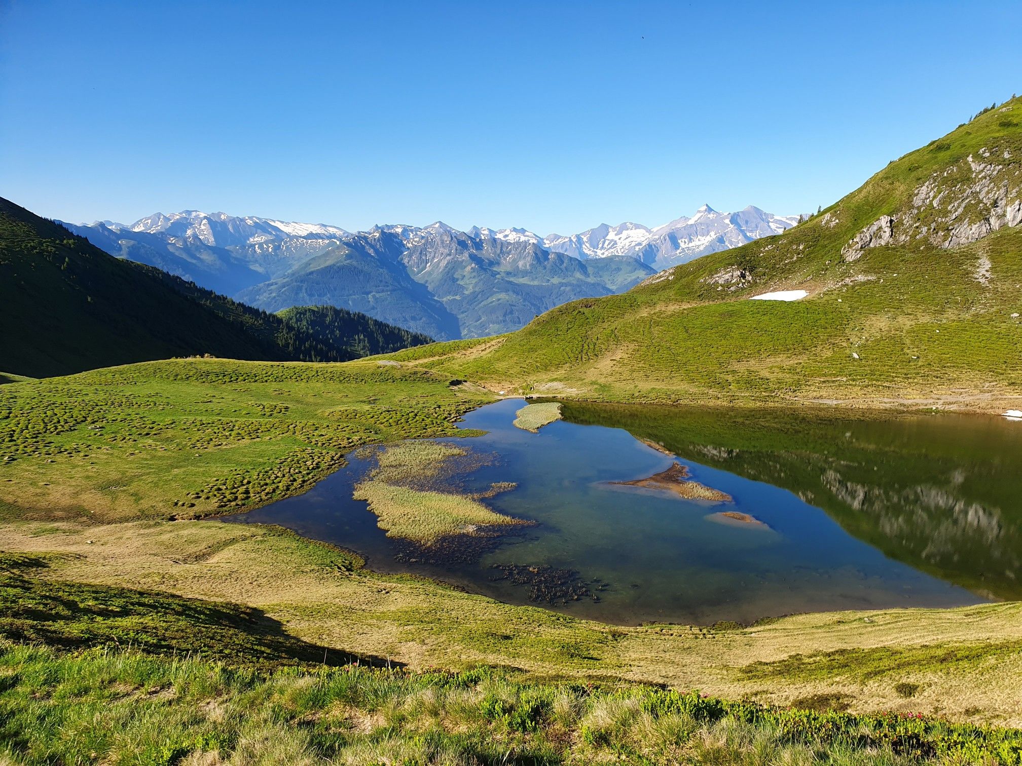
Hohe Tauern Panorama Trail – Face-to-face with 3000-metre peaks

Ruperti Trail – Hike from Austria's Bohemian Forest to the Carnic Alps
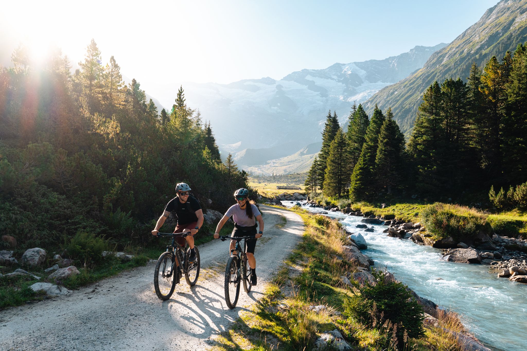
14 stages through the national park valleys – Hohe Tauern Bike Trail
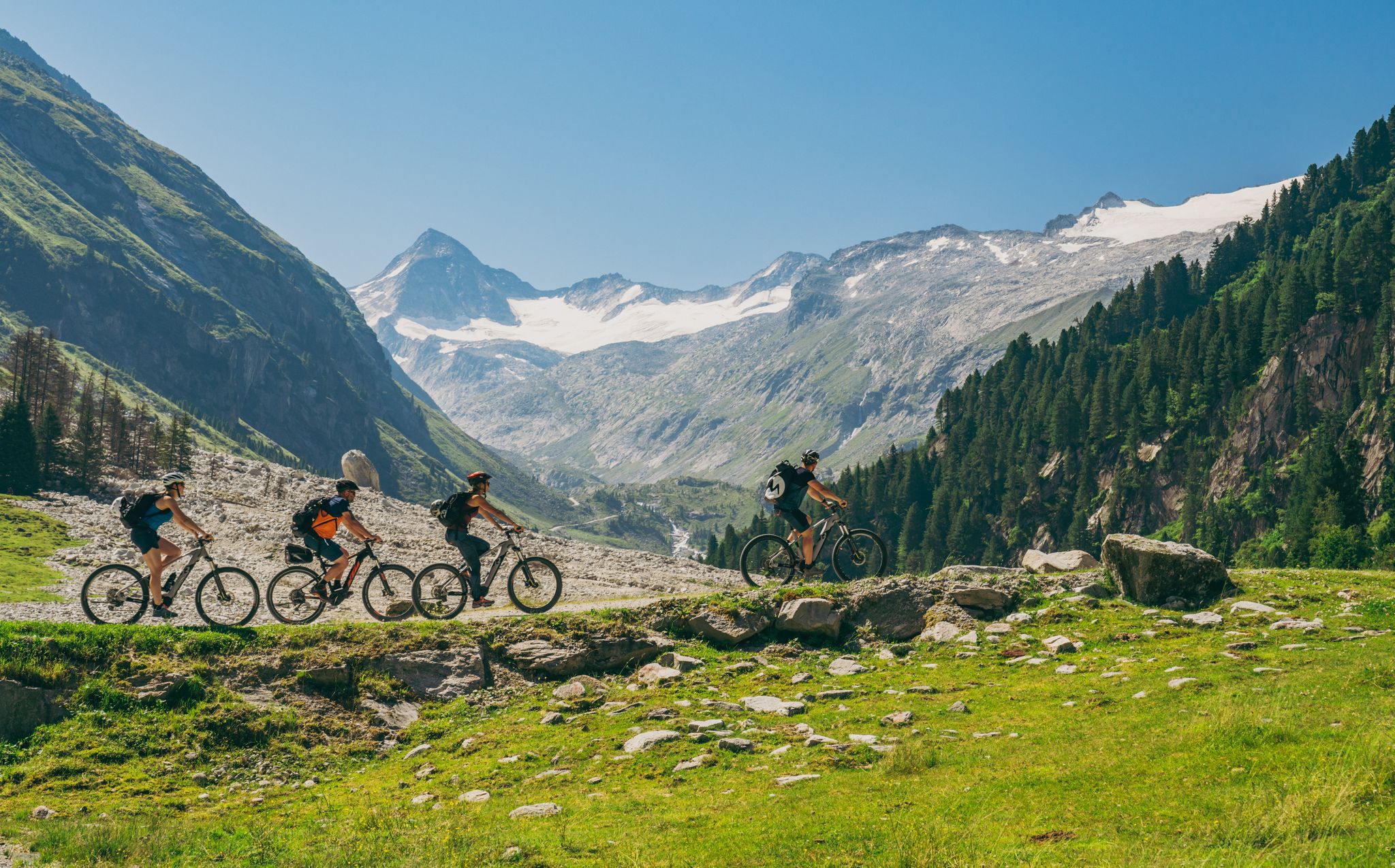
Ride to the alpine pastures in Austria's Hohe Tauern National Park Region
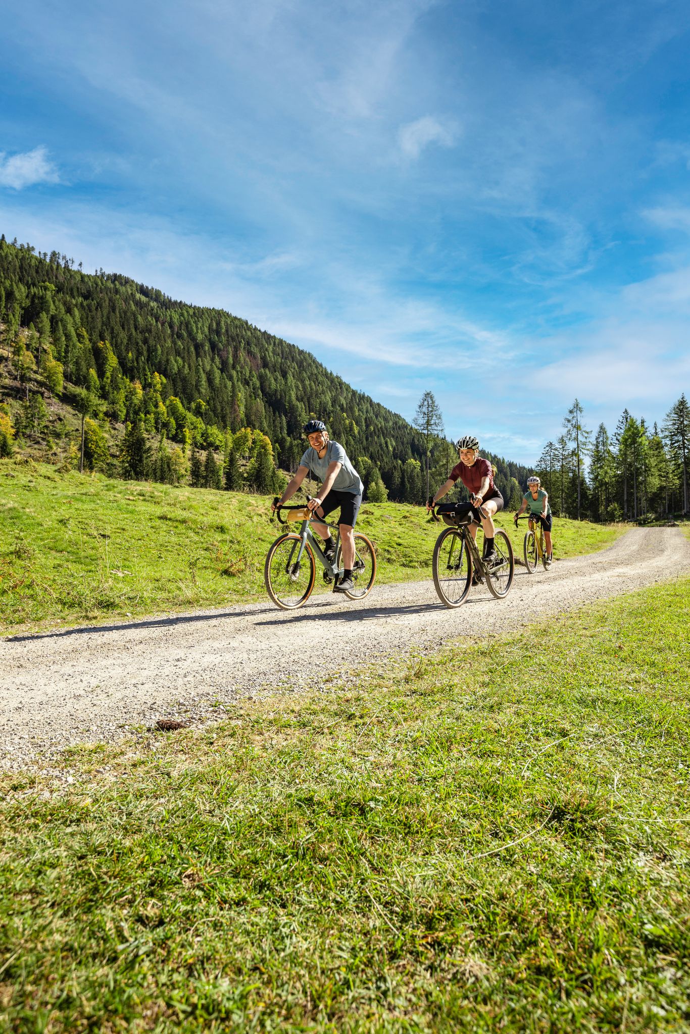
Lake Constance to Lake Neusiedl – explore Austria's federal states on gravel
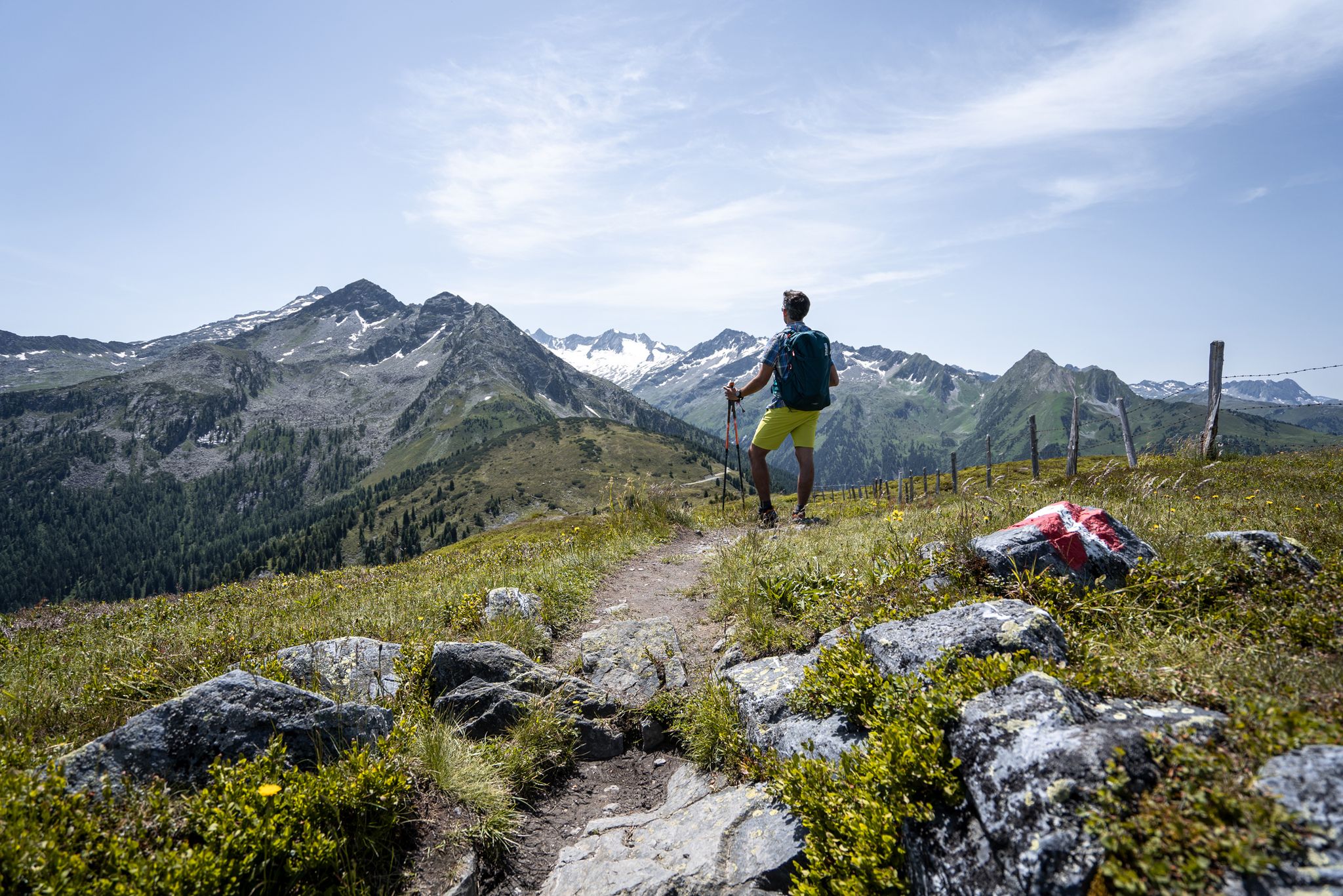
Best views of the highest mountains — Hohe Tauern Panorama Trail
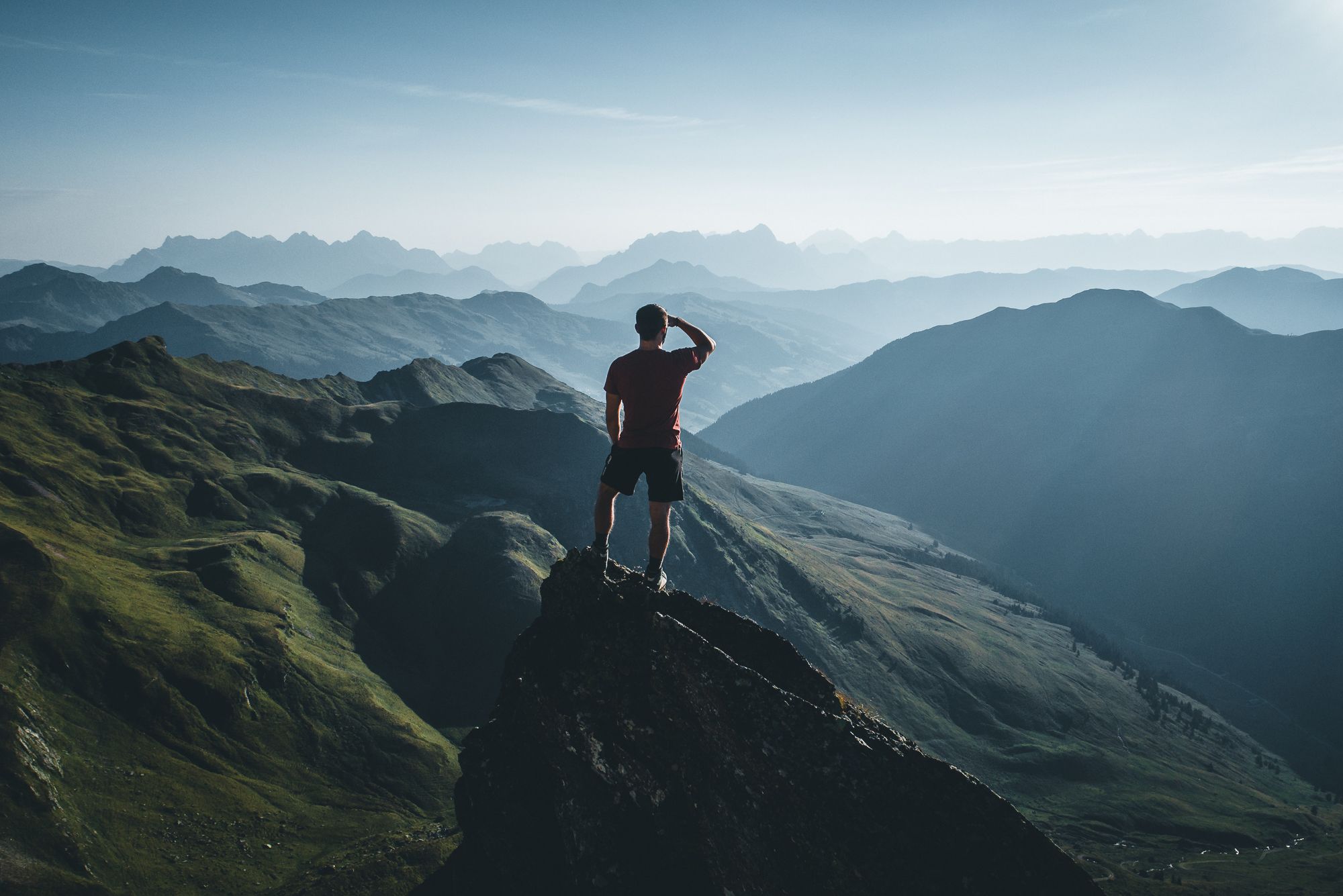
On a voyage of discovery in Austria’s High Tauern National Park
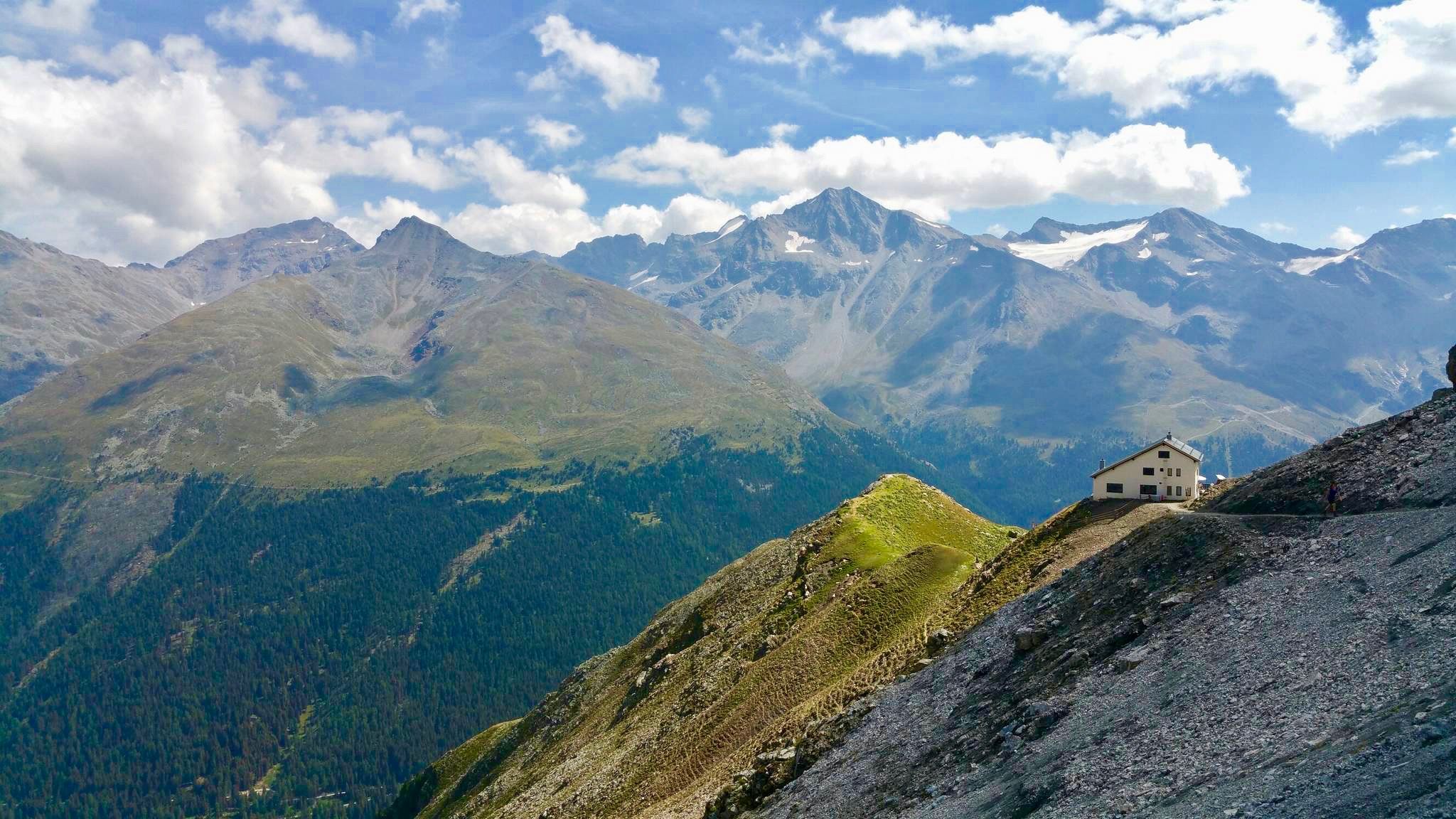
Huts with fantastic views
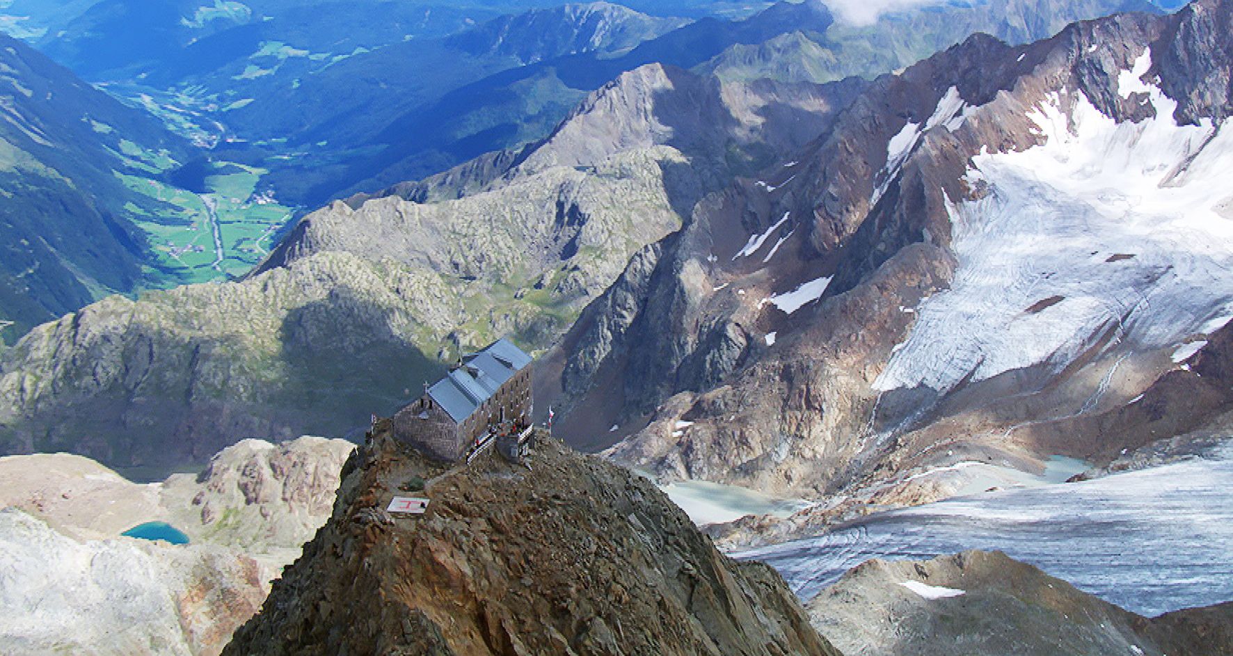
Sleep above 3000 meters
Other adventures around Rauris


Tips from the Community

because it's simply beautiful....great bike paths, good charging options and delicious coffee and cake!
0
0

What a panorama and sense of accomplishment to have made it over the pass by bike.
1
0

Beautiful in every season - e.g. Aktobernfang October
1
0

Long and, at least in good weather, busy, but the view is breathtaking!
1
0


Adventurous for children and wonderful
0
0

The famous High Alpine Road winds its way up to the Fuscher Törl Höhe mountain pass at an elevation of 2,428 meters. The road connects the states of Salzburg and Carinthia and is 48 kilometers long. The High Alpine Road has a total of 36 hairpin bends, but luckily, you don't have to take all of them on your way up. ;)
2
0

Frequently Asked Questions
How many traffic-free road cycling routes are available around Rauris?
There are over 25 dedicated traffic-free road cycling routes around Rauris listed on komoot, offering a wide range of options for all skill levels. These routes are specifically curated to provide a peaceful cycling experience away from vehicle traffic.
What is the best time of year for traffic-free road cycling in Rauris?
The best time for traffic-free road cycling in Rauris is generally from late spring through early autumn (May to October). During these months, the weather is most favorable, and the stunning landscapes of the Hohe Tauern National Park are in full bloom. Some higher altitude routes, like sections of the Großglockner High Alpine Road, are typically open from May to November, depending on snow conditions.
Are there easy traffic-free road cycling routes suitable for beginners in Rauris?
Yes, Rauris offers several easy traffic-free road cycling routes perfect for beginners or those looking for a relaxed ride. You'll find 4 routes specifically rated as 'easy' in this guide, often following picturesque valleys or the Rauriser Ache River, providing gentle gradients and beautiful scenery.
What kind of terrain can I expect on these no-traffic road cycling routes?
The terrain varies significantly, from relatively flat paths along the Rauriser Ache River in the valley to challenging ascents into the Hohe Tauern mountains. While the focus is on no-traffic roads, expect some routes to feature significant elevation gains, especially those leading to higher passes or viewpoints. The region is characterized by impressive mountains, picturesque valleys, and clear lakes, offering diverse backdrops.
Are there challenging car-free road cycling routes for experienced riders?
Absolutely. For experienced riders seeking a challenge, Rauris offers several difficult car-free road cycling routes. A prime example is the Fuscherkarkopf – Grossglockner High Alpine Road loop from Hochtor, which covers nearly 48 km with almost 2,000 meters of elevation gain. Another demanding option is the Hochtor Pass Summit (2,504 m) – Fuscherkarkopf loop from Heiligenblut, offering similar challenges and breathtaking views.
Can I find routes with scenic viewpoints or natural features?
Many of the traffic-free road cycling routes in Rauris offer incredible scenic viewpoints and pass by stunning natural features. You'll cycle through the Hohe Tauern National Park, with opportunities to see majestic mountains and picturesque valleys. Routes often provide views of iconic peaks like Hochkönig, as seen on the View of Hochkönig – Filzensattel Pass loop from Eschenau. The region is rich in natural beauty, including the Rauris Primeval Forest and the Rauriser Ache River.
Are there any traffic-free road cycling routes that pass by lakes or gorges?
Yes, Rauris is surrounded by beautiful natural attractions. While direct traffic-free road cycling routes might not go right through every attraction, many are easily accessible nearby. You can find stunning lakes like Mooserboden Dam or Mirror Lake, and impressive gorges such as the Kitzlochklamm Gorge, which is one of the most beautiful in the alpine region. These can be excellent detours or starting points for your rides.
Are there circular no-traffic road cycling routes in Rauris?
Yes, many of the traffic-free road cycling routes in Rauris are designed as loops, allowing you to start and end at the same point without retracing your steps. For example, the View of the Fuscher Törl – Fuscherkarkopf loop from Hochtor offers a moderate circular experience. The Großglockner High Alpine Road itself can be incorporated into larger circular routes, providing a comprehensive and challenging ride.
Is parking available near the starting points of these routes?
Parking is generally available at various points throughout the Rauris Valley, especially near popular trailheads and attractions. For routes accessing the Großglockner High Alpine Road, there are designated parking areas at key points like Hochtor or Heiligenblut. It's always advisable to check specific route descriptions for detailed parking information.
Are these routes suitable for families?
Many of the easier, flatter traffic-free routes, particularly those following the Rauriser Ache River, are well-suited for families. These paths offer a relaxed cycling experience through scenic landscapes, away from vehicle traffic, making them safe and enjoyable for all ages. Look for routes categorized as 'easy' in this guide for family-friendly options.
What do other cyclists say about the no-traffic road cycling routes in Rauris?
The no-traffic road cycling routes in Rauris are highly regarded by the komoot community, with an average rating of 4.37 stars from over 200 reviews. Cyclists frequently praise the breathtaking scenery of the Hohe Tauern National Park, the well-maintained roads, and the unique opportunity to experience challenging climbs like the Großglockner without vehicle interference. Many appreciate the diverse options, from serene valley rides to demanding mountain passes.
How long are the traffic-free road cycling routes near Rauris?
The length of traffic-free road cycling routes around Rauris varies significantly. You can find shorter routes, such as the View of the Fuscher Törl – Fuscherkarkopf loop from Hochtor, which is about 16.6 km long and takes around 1 hour 12 minutes. Longer, more challenging routes like the Fuscherkarkopf – Grossglockner High Alpine Road loop from Hochtor can extend to nearly 48 km and take over 3.5 hours to complete, depending on your pace and stops.
Most popular attractions around Rauris

Get inspired with the komoot mobile app


Explore more
Browse the best Road cycling routes in other regions.
