The best traffic-free bike rides around Scharnitz
4.5
(440)
3,164
riders
38
rides
Gravel biking around Scharnitz offers access to Austria's largest nature park, the Karwendel, characterized by wild gorges, untouched forests, and alpine meadows. Situated at approximately 964 meters above sea level, the region provides diverse terrain for gravel cyclists, combining gravel paths with some asphalt sections. It is located at the western edge of the Karwendel Mountains and near the source of the Isar River, featuring several picturesque valleys including the Karwendel, Hinterau, Gleirsch, and Isar Valleys. The extensive network of…
Last updated: July 10, 2026
5.0
(2)
14
riders
65.2km
04:24
600m
820m
Hard gravel ride. Very good fitness required. Mostly paved surfaces. Suitable for all skill levels.
5.0
(12)
113
riders
52.3km
03:27
960m
960m
Hard gravel ride. Very good fitness required. Mostly paved surfaces. Suitable for all skill levels.

Sign up for free
4.9
(28)
152
riders
22.3km
01:16
250m
250m
Moderate gravel ride. Good fitness required. Mostly paved surfaces. Suitable for all skill levels.
5.0
(7)
44
riders
77.9km
04:54
1,150m
1,150m
Hard gravel ride. Very good fitness required. Mostly paved surfaces. Suitable for all skill levels.
4.2
(5)
86
riders
59.7km
03:23
530m
530m
Hard gravel ride. Very good fitness required. Mostly paved surfaces. Suitable for all skill levels.
Get access to more routes and recommendations from other explorers.
Sign up for free
Already have an account?
Our route recommendations are based on thousands of hikes, rides, and runs completed by other people on komoot.
Start today with a free account
Your next adventure awaits.
Login or Signup
Popular around Scharnitz
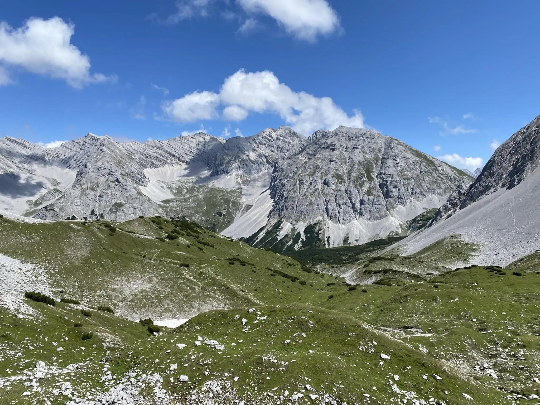
Karwendel crossing – Innsbruck to Sylvensteinspeicher
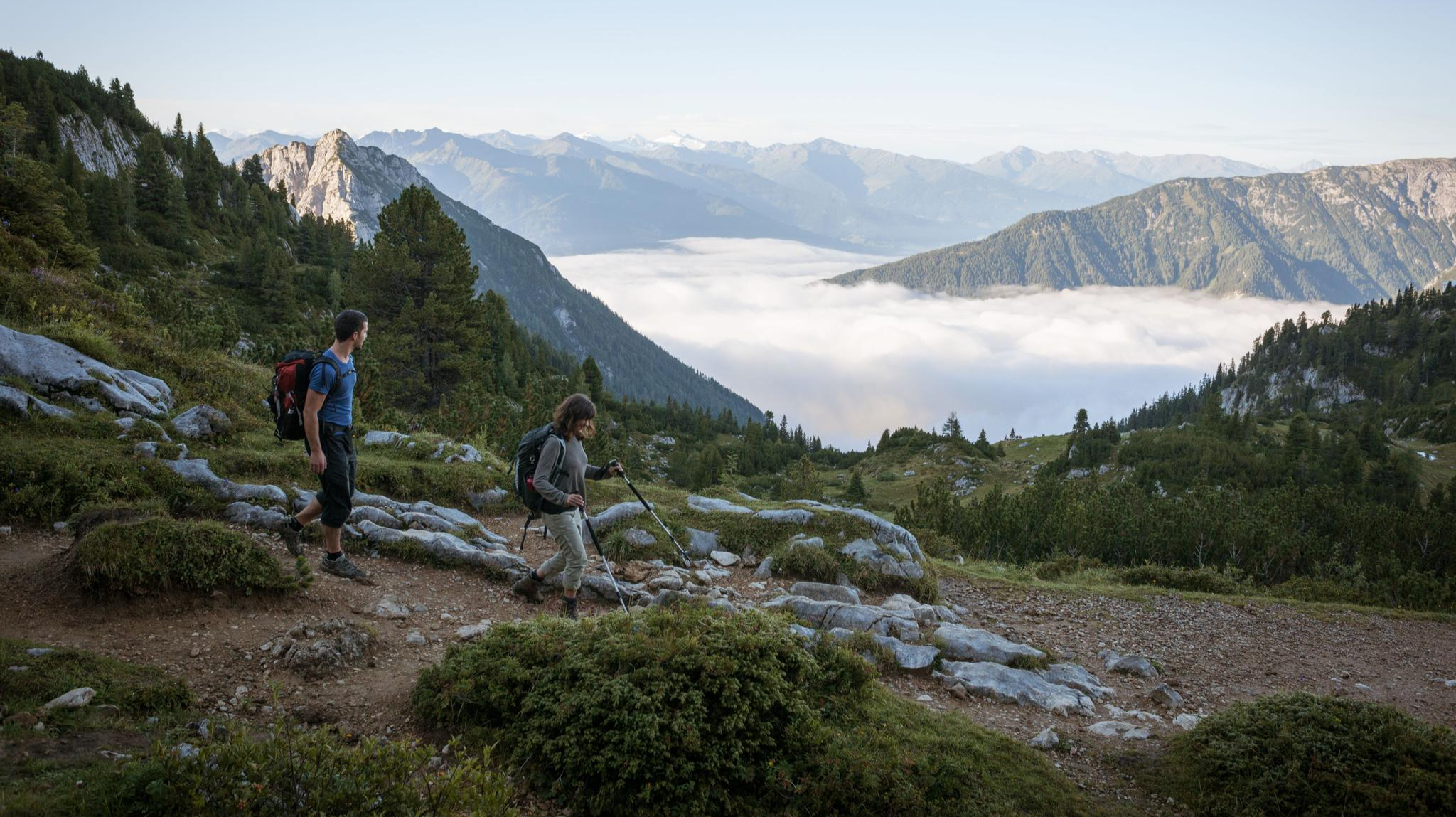
Eagle Walk – Majestic hiking along Tirol's trail

North Alpine Trail 01 – Hike across Austria in 49 days

Via Venezia Alpina – hiking across the Alps to the Adriatic Sea
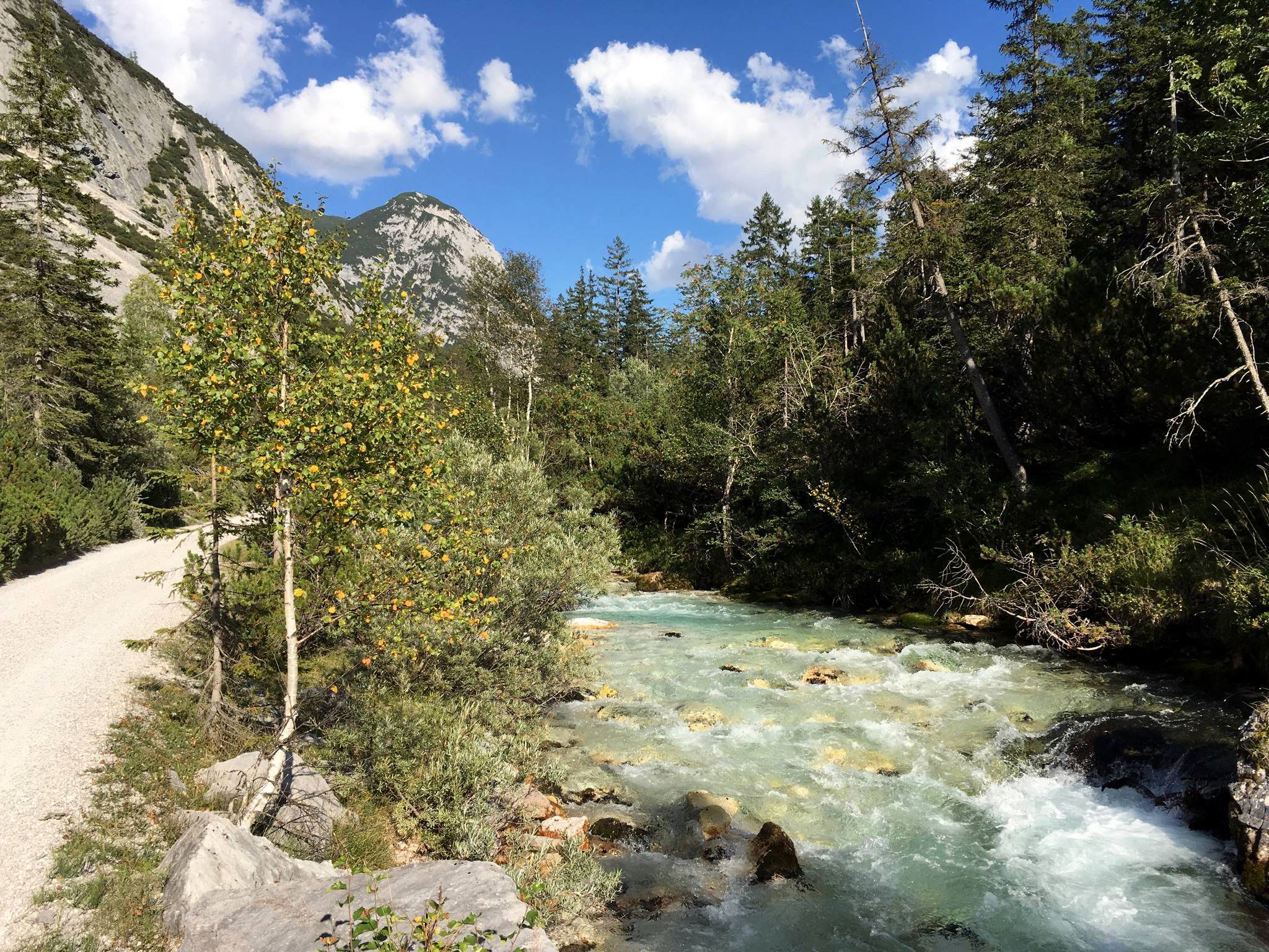
Isar cycle path — From Alpine peaks to the Auenwald (7 stages)

The "Dream Path" hiking trail – From Munich to Venice in 28 stages
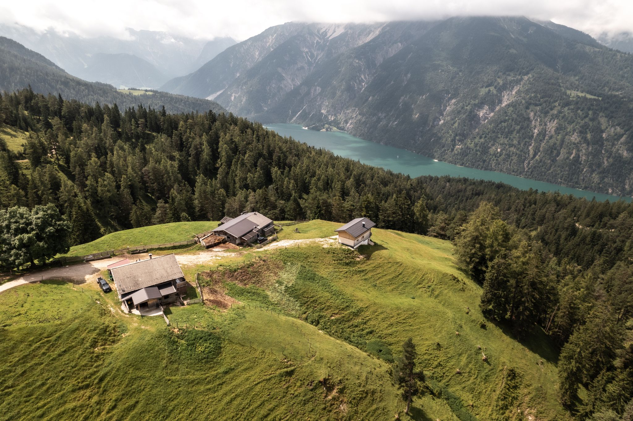
Lakes'n'Knödel – Bikepacking adventure with a taste of the Alps
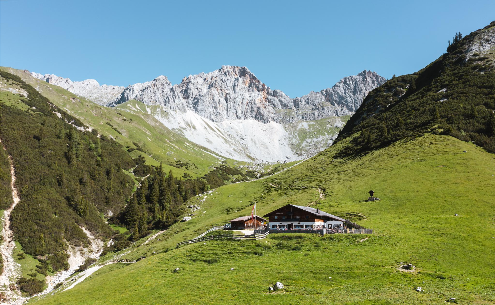
Alpine pasture hiking in the Seefeld region
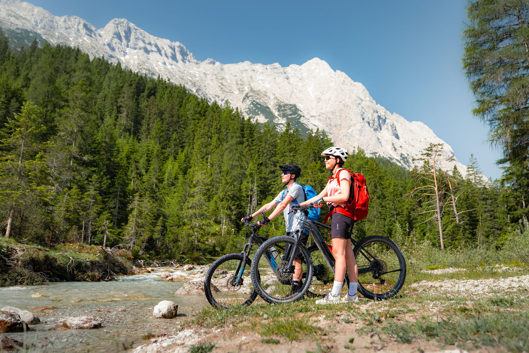
Your e-bike summer of fun in the Seefeld region
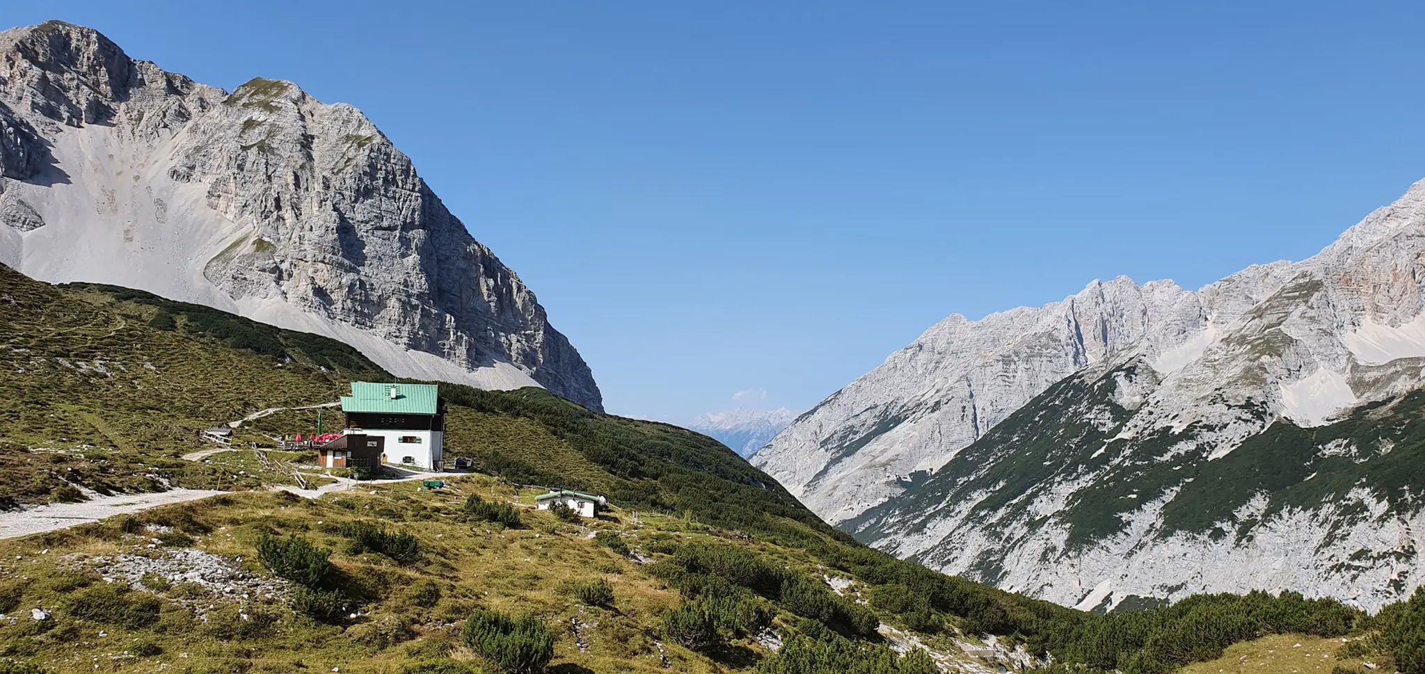
Around Scharnitz – Mountain bike treasures in the Karwendel Nature Park
Other adventures around Scharnitz


Tips from the Community


When it's time for a little adventure again, the route runs along here, whether it's a gravel bike or a road bike. Keep in mind that along the gravel path from Fall there are some tough climbs, but everything is doable.
0
0

The Isar is a river approximately 292 km long in Austria and Germany. It originates in the Karwendel mountains in Tyrol, flows through Bavaria, passing through Munich among other places, and flows into the Danube near Deggendorf. The Isar is an important river for nature, animals, and recreation in Bavaria.
0
0

The route leads deep into the extensive Karwendel nature reserve. The route is unique in terms of scenery, as it runs almost exclusively through wooded sections and open gravel banks directly on the turquoise-blue river.
13
0
The path leads upstream through the Hinterautal, framed by the mighty, steep rock faces of the Karwendelgebirge. Here at the highest point of the tour, the valley presents itself in its full beauty.
12
0
The upper Isar is one of Central Europe's last great alpine wild river landscapes. It is characterized by a wide, dynamic gravel bed, turquoise-blue water, and highly protected habitats for rare animal and plant species.
15
0


View of the Karwendel Mountains from the Isa cycle path.
0
0
Frequently Asked Questions
How many no-traffic gravel bike trails are available in Scharnitz?
Scharnitz offers a fantastic selection of traffic-free gravel bike trails. You'll find nearly 40 dedicated routes, ranging from easy to difficult, perfect for exploring the stunning Karwendel region without vehicle interference.
What kind of terrain can I expect on the gravel bike trails around Scharnitz?
The gravel bike trails in Scharnitz feature a diverse mix of terrain. You can expect well-maintained gravel paths, often combined with smooth asphalt sections, providing a dynamic and enjoyable riding experience through valleys, forests, and along rivers. The region's altitude of approximately 964 meters means some routes will include climbs, but many follow flatter river valleys.
Are there any easy, traffic-free gravel routes suitable for beginners or families?
Yes, Scharnitz has several easier, traffic-free gravel routes. While many trails cater to more experienced riders, there are at least 4 routes classified as easy. These often follow gentle gradients along river valleys, such as sections of the Isar River, making them ideal for a relaxed ride. For a moderate option, consider the Isar headwaters – Upper Isar River loop from Scharnitz, which is about 22 km long.
What natural attractions can I see along the no-traffic gravel bike trails?
Many traffic-free gravel bike trails in Scharnitz lead through or near breathtaking natural attractions. You can encounter impressive gorges like the View of Leutasch Gorge, with its roaring white water and dramatic cliffs, or the serene Lake Ferchensee. The Wild Isar Valley is another highlight, offering untouched natural beauty.
Are there any circular gravel bike routes that avoid traffic?
Absolutely. Many of the traffic-free gravel routes in Scharnitz are designed as loops, allowing you to start and finish in the same location without retracing your steps. For example, the Leutasch Stream – View Towards Scharnitz loop from Mittenwald offers a challenging 46 km circular ride, while the Isar Valley – Wild and romantic Isar loop from Scharnitz is a longer, difficult option at 60 km.
What is the best time of year to go gravel biking in Scharnitz?
The best time for gravel biking in Scharnitz is typically from spring through autumn. During these seasons, the weather is generally mild, and the trails are clear of snow, offering ideal conditions to enjoy the Karwendel Nature Park's landscapes. Summer provides lush greenery, while autumn brings spectacular fall colors. Always check local weather conditions before heading out.
Can I access these traffic-free gravel trails using public transport?
Scharnitz is well-connected, making it possible to access many trailheads via public transport. The region's focus on outdoor activities means that public transport options often cater to cyclists, allowing you to reach starting points for your traffic-free gravel adventures without needing a car.
What do other gravel bikers say about the traffic-free routes in Scharnitz?
The komoot community highly rates the gravel biking experience in Scharnitz, with an average score of 4.5 stars from over 350 ratings. Riders frequently praise the stunning natural beauty of the Karwendel Nature Park, the variety of terrain, and the peaceful, traffic-free environment that allows for an immersive outdoor experience.
Are there any challenging traffic-free gravel routes for experienced riders?
Yes, experienced gravel bikers will find plenty of challenging traffic-free routes in Scharnitz. With 26 routes classified as difficult, you can push your limits on longer distances and significant elevation gains. An example is the demanding Between Karwendel and Murnauer Moos route, covering over 65 km with nearly 600 meters of ascent.
Are there any historical landmarks or viewpoints along the traffic-free gravel trails?
While the focus is on natural beauty, some routes may offer glimpses of historical significance or lead to scenic viewpoints. For instance, the historical Porta Claudia fortification, dating back to the Thirty Years' War, offers scenic views towards Germany. Additionally, the Leutasch Gorge Panoramic Bridge provides an impressive vantage point over the gorge itself.
Most popular routes around Scharnitz
Most popular attractions around Scharnitz

Get inspired with the komoot mobile app


Explore more
Browse the best Gravel rides in other regions.
