The best hikes from bus stations around Brückl
4.6
(1127)
6,814
hikers
7
hikes
Bus station hiking trails around Brückl, located in Carinthia, Austria, offer access to diverse landscapes characterized by prominent mountains and rolling hills. The region features areas like Magdalensberg, Lippekogel, and Johannserberg, providing varied terrain for outdoor exploration. Hikers can expect routes that traverse forested slopes, open ridges, and valleys, with elevations ranging from gentle ascents to more significant climbs. This area serves as a gateway to the Noric Region, presenting a mix of natural features for different hiking preferences.
Best…
Last updated: July 10, 2026
4.3
(3)
48
hikers
11.4km
03:50
570m
570m
Moderate hike. Good fitness required. Easily-accessible paths. Suitable for all skill levels.
5.0
(2)
16
hikers
Hard hike. Very good fitness required. Mostly accessible paths. Sure-footedness required.

Sign up for free
5.0
(2)
14
hikers
6.93km
02:35
400m
400m
Moderate hike. Good fitness required. Mostly accessible paths. Sure-footedness required.
5.0
(1)
8
hikers
5.38km
01:26
50m
60m
Easy hike. Great for any fitness level. Easily-accessible paths. Suitable for all skill levels.
5.0
(2)
10
hikers
12.3km
03:41
380m
380m
Moderate hike. Good fitness required. Easily-accessible paths. Suitable for all skill levels.
Get access to more routes and recommendations from other explorers.
Sign up for free
Already have an account?
Our route recommendations are based on thousands of hikes, rides, and runs completed by other people on komoot.
Start today with a free account
Your next adventure awaits.
Login or Signup
Popular around Brückl
Other adventures around Brückl

Tips from the Community

Excellent cuisine very friendly 👍😋😋
0
0
There's a restaurant next to the church, and the food is excellent. I highly recommend it.
0
0

…a nice excursion destination with a good guesthouse 😋
0
0

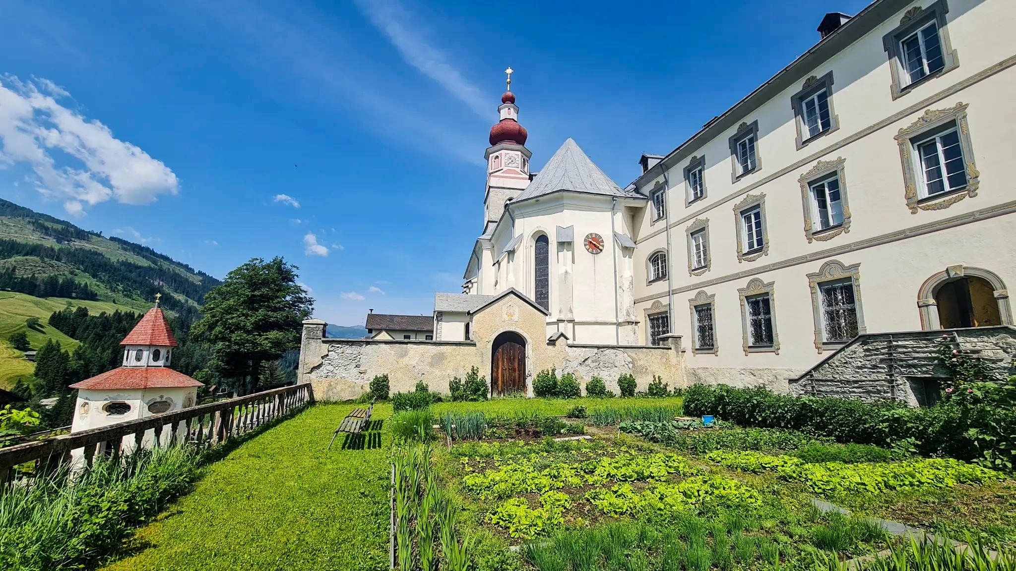
The Christofberg is 928 meters high and worth a visit. At the top there is a small pilgrimage church from the 15th century and the Zum Messner inn, where you can order cheese dumplings.
2
0
…a beautiful destination with good places to stop for refreshments 👀
2
0

Next to the church you can enjoy the panorama and eat excellent food 🥘
2
0

The 1,079 meter high Lippekogel is easy to reach. A fabulous view awaits you at the top and a summit cross with a rest area (table with benches). The Lippekogel is often used by paragliders as a take-off point.
1
0
...a nice destination with good places to stop for refreshments. 😋
3
1
Frequently Asked Questions
How many bus station hiking trails are available around Brückl?
There are 7 dedicated hiking trails accessible directly from bus stations around Brückl. These routes offer a variety of experiences, from easy strolls to more challenging mountain ascents.
Are there any easy hikes accessible from Brückl bus stations?
Yes, there is one easy route available. The El Capitan of Brückl loop from Brückl is an easy 5.3 km hike with minimal elevation gain, perfect for a relaxed outing directly from Brückl.
What are the most challenging bus station hikes in the Brückl area?
For those seeking a challenge, two difficult routes are accessible. The Lippekogel Summit and Cross – St. Christoph Church loop from Sankt Filippen is a demanding 18.3 km hike with over 700 meters of elevation gain, offering extensive views of the Carinthian lowlands.
Can I find circular hiking routes starting from bus stations in Brückl?
Yes, many of the trails are circular, allowing you to return to your starting point without needing additional transport. Examples include the moderate Lippekogel – Lippekogel Summit and Cross loop from Brückl and the easier El Capitan of Brückl loop from Brückl.
What kind of natural features can I expect to see on these hikes?
The region around Brückl is known for its diverse landscapes, including prominent mountains like Magdalensberg and Lippekogel. You'll encounter scenic views of the Carinthian lowlands, peaceful woodlands, and potentially glimpses of the nearby Völkermarkt Reservoir. Some routes, like those around Magdalensberg, also offer wonderful high-altitude experiences.
Are there any historical or cultural landmarks along the bus station hiking trails?
Absolutely. The region is rich in history. For instance, the Magdalensberg is home to an archaeological park, and routes like the Laurenziweg lead to the Laurentius Church on Johannserberg. You might also encounter historic churches such as St. Christoph Church, which is part of several loops like the St. Christoph Church loop from Sankt Filippen.
What do other hikers say about the trails around Brückl?
The hiking trails around Brückl are highly regarded by the komoot community, with an average rating of 4.6 out of 5 stars from over 1180 reviews. Hikers frequently praise the well-maintained paths, the stunning panoramic views, and the peaceful atmosphere of the Carinthian countryside.
Are there any lakes or reservoirs accessible near the bus station hiking trails?
While not directly on every bus station trail, the nearby Völkermarkt Reservoir is a significant natural feature. You can explore highlights like the Völkermarkt reservoir bridge or the Drau Reservoir Path at Völkermarkt, which offer scenic walks along the water's edge.
Can I visit any castles or historic sites while hiking from Brückl's bus stations?
The Brückl area is surrounded by several impressive castles. While not always directly on the bus station routes, they are often visible from viewpoints or accessible with a short detour. Notable castles include Neudenstein Castle, Meiselberg Castle, and the iconic Hochosterwitz Castle, which offers spectacular views.
What is the elevation gain like on the moderate bus station hikes?
The moderate routes offer a good balance of challenge and accessibility. For example, the Lippekogel – Lippekogel Summit and Cross loop from Brückl involves approximately 566 meters of elevation gain, while the Christophberg Church loop from Ochsendorf has around 383 meters of ascent.
Are there any pilgrimage routes that pass through Brückl and are accessible by bus?
Brückl is indeed integrated into several well-known pilgrimage networks. The extensive "Pilgrim route Klagenfurt - Mariazell" passes through Brückl, offering a meditative hiking experience. While specific bus station routes might not cover entire pilgrimage stages, they can provide access to segments or connect to these broader networks.
Most popular attractions around Brückl

Get inspired with the komoot mobile app


Explore more
Browse the best Hikes in other regions.
