The best family-friendly hikes and walks around Gries am Brenner
4.5
(3344)
17,006
hikers
31
hikes
Family friendly hiking trails around Gries am Brenner are set within the Wipptal region of Austria, characterized by majestic mountains and alpine panoramas. The area features diverse landscapes, including the Nösslach High Plateau with its meadows and larch forests, and picturesque mountain lakes like Lake Obernberg. Situated at 1,165 meters, Gries am Brenner serves as a starting point for exploring mountain valleys and offers routes ranging from gentle walks to more challenging ascents.
Best family friendly hiking trails around Gries am Brenner
- The most popular family friendly hiking route is Sattelbergalm loop from Gries am Brenner, an easy 3.4 miles (5.5 km) trail that takes 1 hour 49 minutes to complete. This path offers views of the Obernberg valley and the Tribulaun Mountains.
- Another top favourite among local hikers is Sattelbergalm – From Vinaders to Sattelalm loop from Gries am Brenner, a moderate 5.2 miles (8.3 km) path. This route leads through forests towards the Sattelberg Mountain Hut.
- Local hikers also love the Nösslachhütte – View of the Stubai Alps loop from Gries am Brenner, a 6.8 miles (10.9 km) trail leading through the Nösslach High Plateau, often completed in about 3 hours 16 minutes.
- Hiking around Gries am Brenner is defined by alpine panoramas, larch forests, and mountain lakes. The network offers options for various ability levels, from easy family walks to moderate trails.
- The routes in Gries am Brenner are highly rated by the komoot community with an average score of 4.6 stars from more than 3,200 reviews. More than 16,800 hikers have used komoot to explore Gries am Brenner's varied terrain.
Last updated: July 24, 2026
4.9
(33)
133
hikers
10.4km
04:01
490m
480m
Moderate hike. Good fitness required. Mostly accessible paths. Sure-footedness required.
4.7
(28)
161
hikers
8.33km
02:53
440m
440m
Moderate hike. Good fitness required. Easily-accessible paths. Suitable for all skill levels.

Sign up for free
4.7
(22)
381
hikers
5.47km
01:49
270m
270m
Easy hike. Great for any fitness level. Easily-accessible paths. Suitable for all skill levels.
4.7
(21)
186
hikers
11.6km
05:05
910m
910m
Hard hike. Very good fitness required. Mostly accessible paths. Sure-footedness required.
4.7
(21)
74
hikers
10.9km
03:15
350m
350m
Moderate hike. Good fitness required. Easily-accessible paths. Suitable for all skill levels.
Get access to more routes and recommendations from other explorers.
Sign up for free
Already have an account?
Our route recommendations are based on thousands of hikes, rides, and runs completed by other people on komoot.
Start today with a free account
Your next adventure awaits.
Login or Signup
Popular around Gries am Brenner
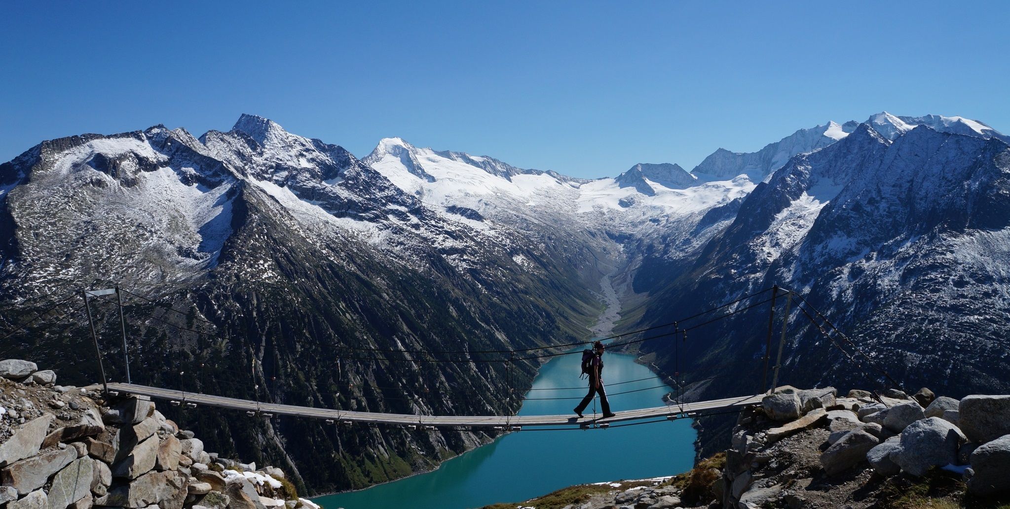
The Peter Habeler loop — an alpine trail around the Olperer
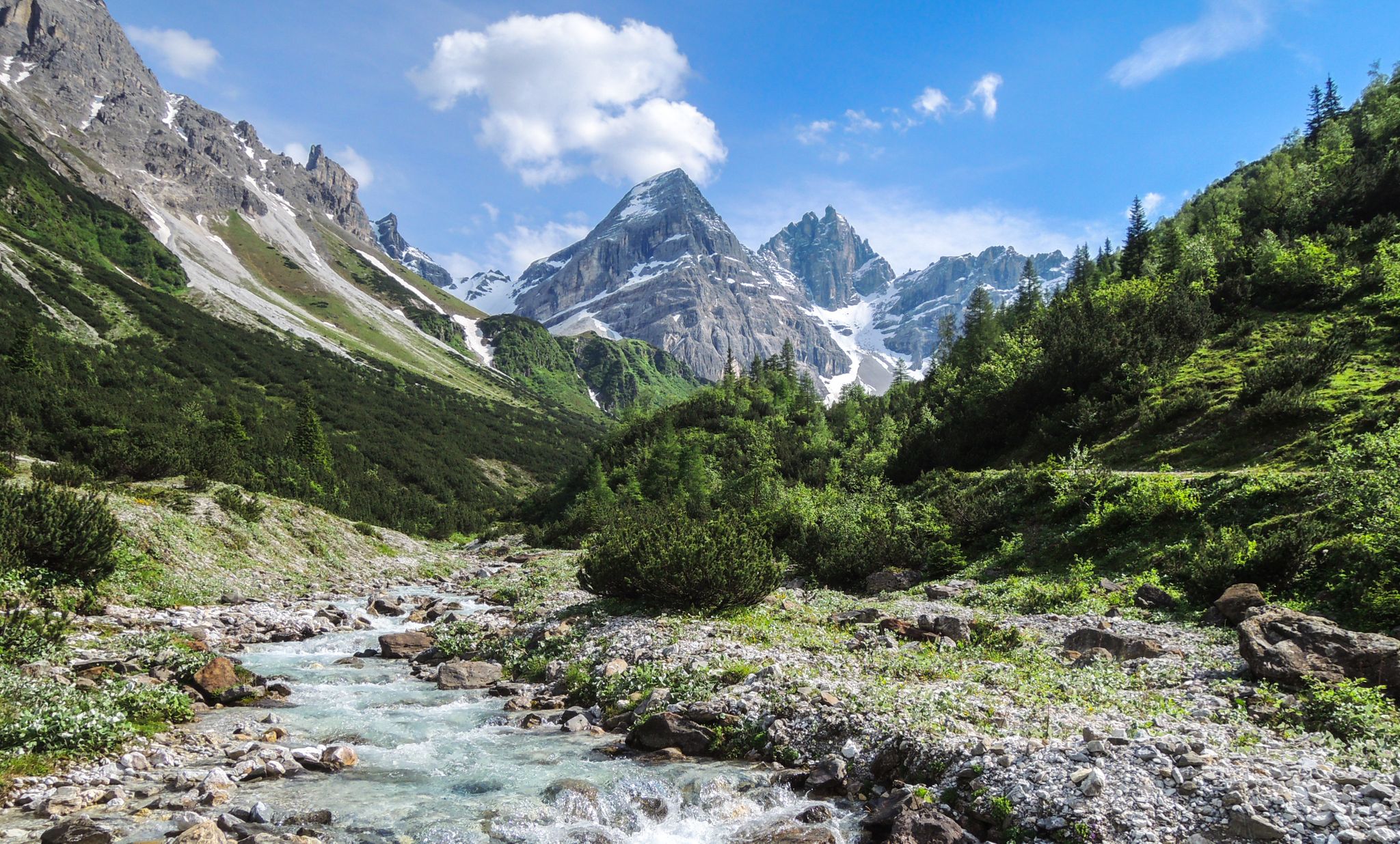
A journey of discovery in Tyrol – hidden places in the Wipptal Valley
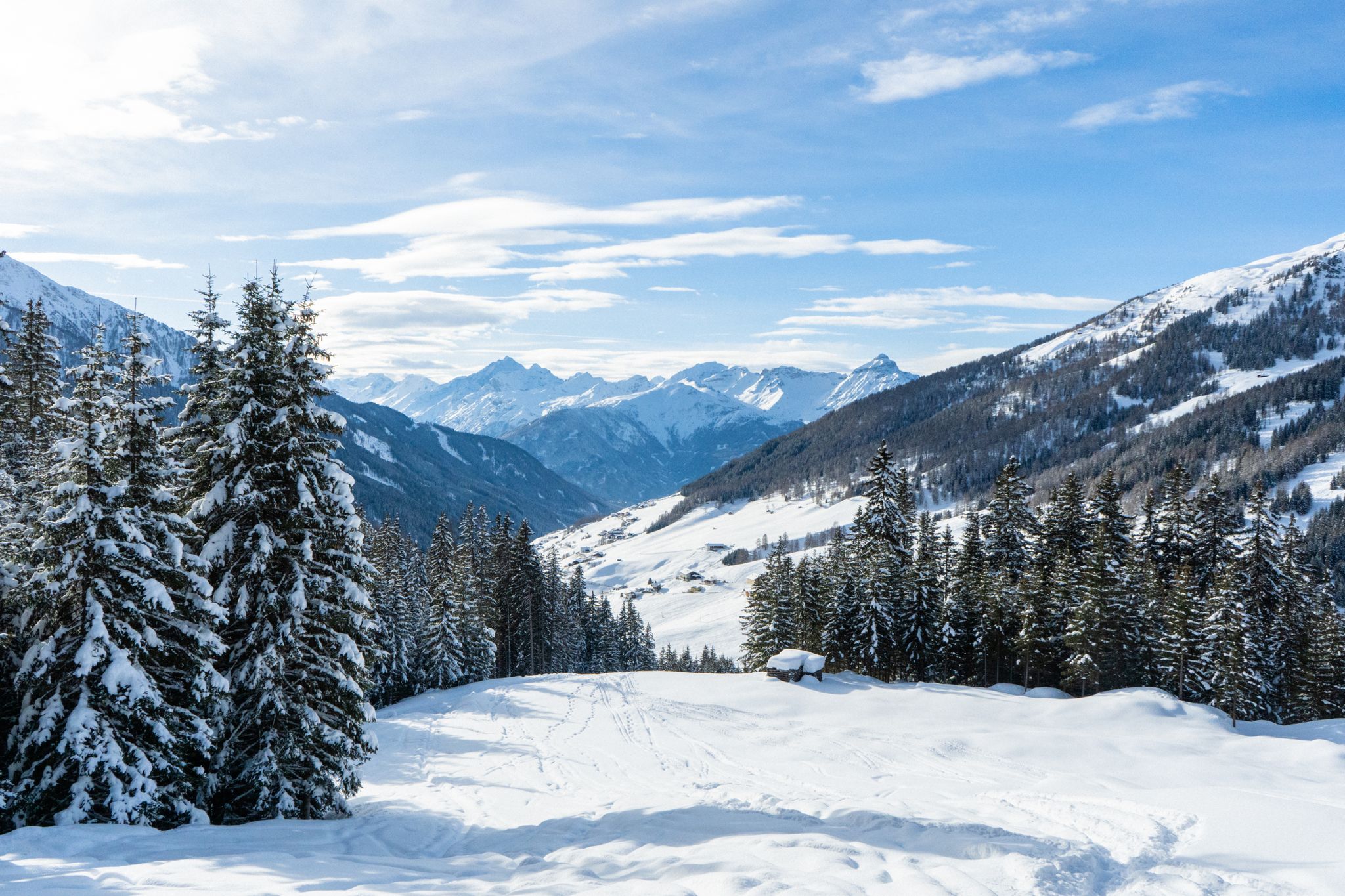
Your winter in Austria’s Wipptal Valley: 10 tips for adventuring in the snow
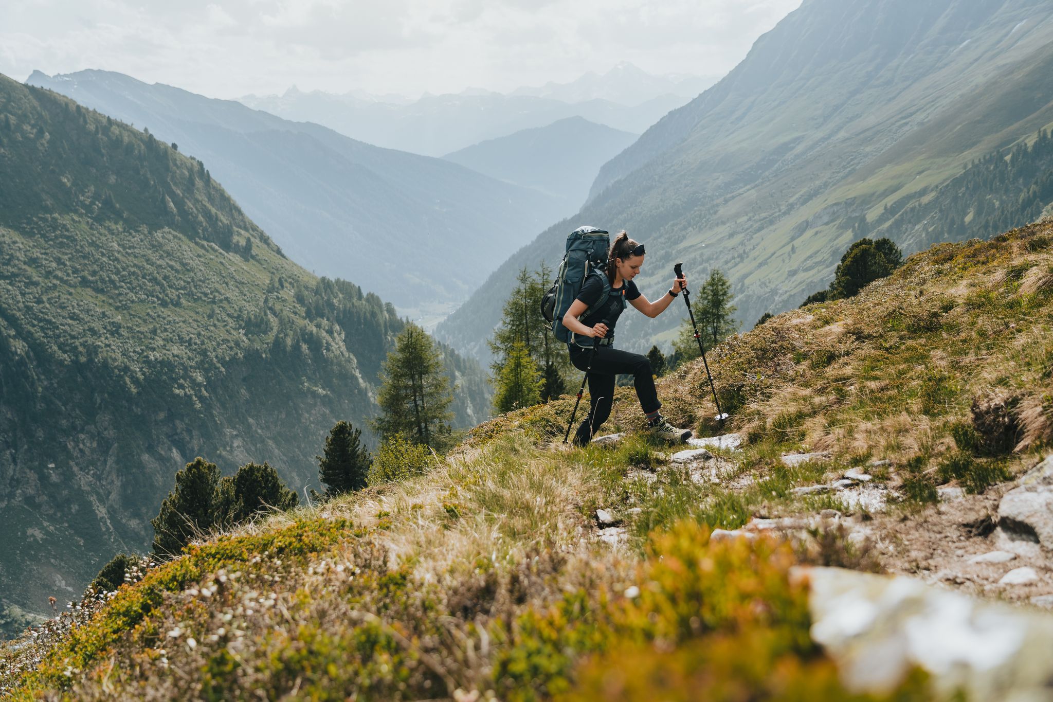
Fünf kulinarische Alm- und Hüttenwanderungen im Wipptal
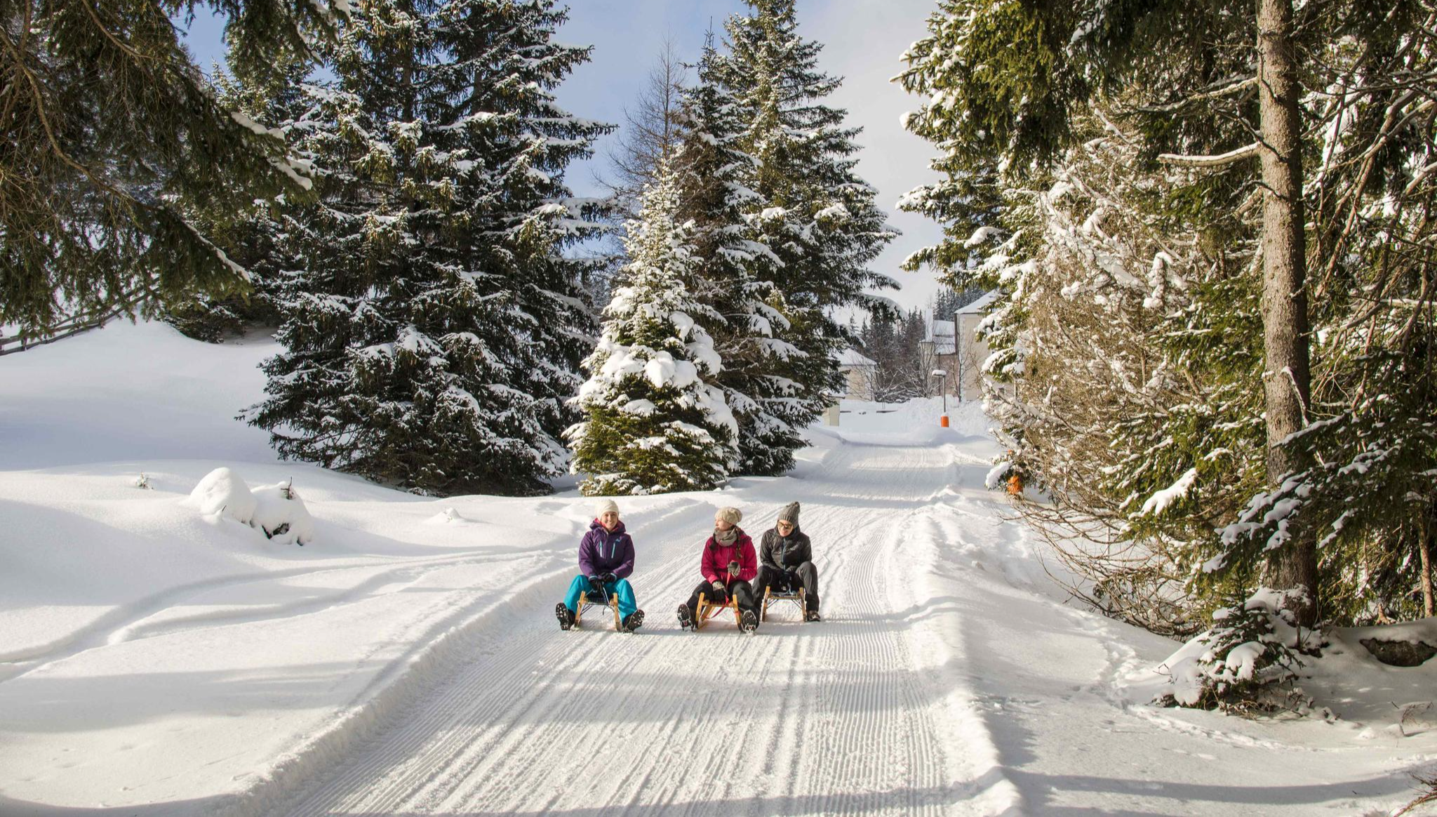
Rodelspaß und urige Hütten – Winterzauber Wipptal
Other adventures around Gries am Brenner


Tips from the Community

From the Sattelbergalm, it's about 350m of altitude gain via an MTB push track to the Sattelberg, ok on foot, quite strenuous with an MTB
0
0

Nice little resting place with a wooden sculpture through which a stream flows. You can walk over it via a small wooden bridge and refresh yourself.
0
0
From the Wassersteig, you have a beautiful view over the surrounding mountain meadows.
0
0

The food left MUCH to be desired 😒 Lukewarm soup = bacon dumplings and cheese dumplings were almost soaked to bread soup and the core of the dumpling was cold. And for THAT price (soup was served in a cup, 150ml with mini-dumplings) 6.80Euro 🫣😒 The cappuccino was good.
0
0

If you want to take the cable car back down, be sure to check the last departures: 4:30 PM from Nösslachjoch 5:00 PM from Bergeralm middle station
0
0

Finally, a cozy stop at the Vinanders Inn👍
0
0

A wonderful introductory, bad weather and good weather tour with magnificent views from the spacious summit plateau.
0
0

Beautiful mountain for a snowshoe hike 😉.
1
0
Frequently Asked Questions
How many family-friendly hiking trails are there around Gries am Brenner?
Gries am Brenner offers a wide variety of family-friendly hiking trails. You'll find over 30 routes suitable for families, ranging from easy strolls to more moderate adventures, ensuring there's something for every age and energy level.
What is the best time of year for family hikes in Gries am Brenner?
The most enjoyable seasons for family hiking in Gries am Brenner are typically spring (May-June) and autumn (September-October). During these months, the weather is generally pleasant, and the natural beauty of the region, with its larch forests and alpine panoramas, is particularly stunning.
Are there any easy circular routes suitable for beginners or young children?
Yes, there are several easy circular routes perfect for families with younger children or those new to hiking. A great option is the Sattelbergalm loop from Gries am Brenner, which is an easy 5.4 km trail with manageable elevation gain, offering lovely views and a pleasant walk through the landscape.
What kind of natural features or scenic viewpoints can we expect on family trails?
The family-friendly trails around Gries am Brenner often lead through picturesque larch forests and offer breathtaking alpine panoramas. You can expect views of majestic mountains and valleys. The region is also home to idyllic spots like Lake Obernberg and the Riepenbach waterfall, providing beautiful natural backdrops for your family adventures.
Are there any trails that lead to mountain huts or places to eat?
Absolutely! Many trails in the region lead to charming mountain huts where families can enjoy a break and a meal. For example, the Sattelbergalm – From Vinaders to Sattelalm loop from Gries am Brenner is a moderate route that takes you to the Sattelalm, a perfect spot to refuel and enjoy the mountain atmosphere.
What are some interesting landmarks or attractions to see along the routes?
Beyond the stunning natural scenery, you can discover interesting landmarks. The region is part of the Wipptal valley, and you might encounter historical elements like those explored on the Mining Trail around the Nösslachhütte. For specific points of interest, consider exploring highlights like the Brenner Pass or the Abandoned Military Bunkers on the Brenner Pass, which offer a glimpse into the area's history.
Are there any moderate trails that offer a bit more challenge for older children?
For families seeking a slightly more challenging but still rewarding experience, the View from Nösslachjoch – Lake Licht loop from Nösslachjoch-Kreuzgipfel is a moderate 10.3 km trail. It features a good amount of elevation gain and offers expansive views, making it a great option for older children and active families.
What do other hikers enjoy most about the family-friendly trails in Gries am Brenner?
The family-friendly trails in Gries am Brenner are highly rated by the komoot community, with an average score of 4.6 stars. Reviewers often praise the well-maintained paths, the breathtaking alpine views, and the diverse options suitable for all ages, from gentle walks to more adventurous hikes.
Are there any trails that are less crowded, offering a more peaceful experience?
While popular spots can attract visitors, many trails in the extensive Wipptal region offer peaceful stretches. To find less crowded options, consider exploring routes that venture slightly off the most well-known paths, especially during weekdays or outside of peak holiday times. The Nösslach High Plateau, with its extensive larch forests, often provides a serene hiking experience.
Is it possible to reach trailheads using public transport?
Gries am Brenner is situated in the Wipptal valley, which generally has good public transport connections. While specific trailhead access varies, the village itself serves as a central starting point. It's advisable to check local bus schedules for routes connecting to specific trailheads or nearby villages to plan your journey effectively.
Are dogs allowed on the family-friendly hiking trails?
Generally, dogs are welcome on hiking trails in the Gries am Brenner region. However, it's always important to keep your dog on a leash, especially in nature reserves, near grazing animals, or in crowded areas. Remember to bring water for your pet and clean up after them to ensure a pleasant experience for everyone.
Most popular routes around Gries am Brenner
Most popular attractions around Gries am Brenner

Get inspired with the komoot mobile app


Explore more
Browse the best Hikes in other regions.
