The best hikes from bus stations around Brandberg
4.5
(27858)
133,314
hikers
34
hikes
Bus station hiking trails around Brandberg traverse a vast, dome-shaped granite massif rising from the desert plains of Damaraland. The region is characterized by dramatic geological formations, including jagged cliffs, deep ravines, and smooth domes. Königstein Peak, at 2,573 meters (8,439 feet), is Namibia's highest point, offering panoramic views. Despite its arid environment, Brandberg supports unique desert-adapted wildlife and flora.
Best bus station hiking trails around Brandberg
- The most popular bus station hiking route is Staumauerblick – Zillergründl reservoir loop…
Last updated: July 10, 2026
4.8
(471)
2,181
hikers
9.20km
03:00
310m
310m
Moderate hike. Good fitness required. Mostly accessible paths. Sure-footedness required.
4.8
(107)
507
hikers
Hard hike. Very good fitness required. Mostly accessible paths. Sure-footedness required.

Sign up for free
4.8
(63)
402
hikers
Moderate hike. Good fitness required. Mostly accessible paths. Sure-footedness required.
4.8
(68)
307
hikers
10.8km
04:11
760m
760m
Moderate hike. Good fitness required. Easily-accessible paths. Suitable for all skill levels.
4.8
(75)
306
hikers
7.36km
02:41
410m
410m
Moderate hike. Good fitness required. Mostly accessible paths. Sure-footedness required.
Get access to more routes and recommendations from other explorers.
Sign up for free
Already have an account?
Our route recommendations are based on thousands of hikes, rides, and runs completed by other people on komoot.
Start today with a free account
Your next adventure awaits.
Login or Signup
Popular around Brandberg
Other adventures around Brandberg


Tips from the Community

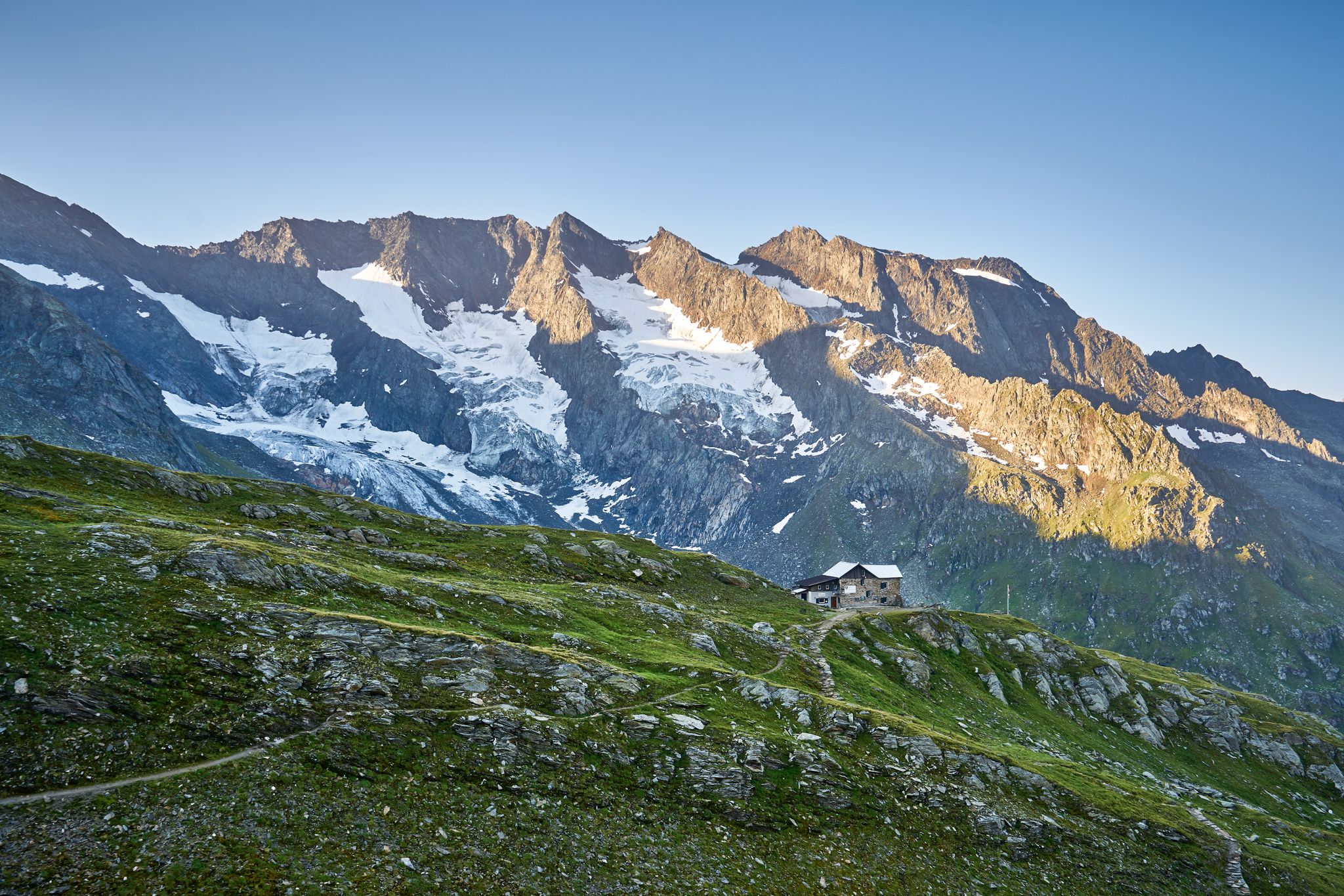
Beautiful hut and super friendly staff. The hut owner even saved a delicious mushroom goulash especially for us for the descent.
0
0

A beautiful path along the reservoir, dotted with plaques with profound sayings. There are also many orchids and alpine flowers along the path.
0
0

This is where the path goes up, but I didn't go up, I went back down again, unfortunately I didn't have enough time!
0
0
Little Tibet is a magical place that can hardly be put into words, nor can its beauty be captured or described in pictures! Unfortunately, I couldn't mark the entire trail properly!
0
0
The tunnel is quite long, about 350 meters! For cyclists and pedestrians only!
1
0

Great reservoir with turquoise water 🥰
3
0

If you follow the Kuchlmoosbach stream, you will see the Kuchelmooskees glacier further up. Very impressive.
2
0

The Speicher Zillergrund has no circular route and, except for the alpine route, must take the same return route 😊
0
0
Frequently Asked Questions
How many bus station hiking trails are available around Brandberg?
There are over 30 hiking routes around Brandberg that are accessible from bus stations. These range from easy strolls to more challenging multi-day treks, offering diverse experiences for all fitness levels.
Are there easy hiking trails accessible by bus for beginners or families in Brandberg?
Yes, Brandberg offers several easy hiking options accessible by bus. While specific routes from bus stations might require local guidance due to the rugged terrain, the area around the base of the mountain, particularly towards the White Lady rock art site, can be considered for less strenuous walks. Always check local conditions and consider hiring a guide for safety and insight.
What kind of natural features can I expect to see on bus-accessible hikes in Brandberg?
Hikes around Brandberg offer stunning views of its towering granite massif, which glows fiery red and orange at sunrise and sunset. You'll encounter unique desert-adapted flora and fauna, and dramatic geological formations. While the provided data points to features like Zillertal Valley and Stilluptal Valley and Waterfall, these are not located in Brandberg, Namibia. The Namibian Brandberg is characterized by its arid, rugged beauty and ancient rock art.
Can I spot wildlife on bus station hiking trails in Brandberg?
Brandberg is home to unique desert-adapted wildlife. While hiking, you might spot klipspringers, baboons, rock hyraxes, and if you're very lucky, elusive desert elephants. The diverse ecosystem, despite its arid nature, makes for interesting wildlife viewing opportunities.
Are there any circular routes starting from bus stations in Brandberg?
Many of the hiking experiences in Brandberg are designed as out-and-back or point-to-point routes, especially those leading to specific attractions like the White Lady. For truly adventurous circular routes, the multi-day Brandberg Camino circumnavigates the entire mountain, though this is a significant undertaking and not typically bus-accessible for its entirety.
What is the best time of year to hike in Brandberg from a bus station?
The best time to hike in Brandberg is generally during the cooler, drier months, typically from May to October. During these months, temperatures are more moderate, making hiking more comfortable. Avoid the peak summer months (November to March) when temperatures can be extremely high.
What should I wear and bring for bus-accessible hikes in Brandberg?
Given Brandberg's desert environment, it's crucial to wear lightweight, breathable clothing, a wide-brimmed hat, and sturdy hiking shoes. Always carry plenty of water, sunscreen, and snacks. Even for shorter bus-accessible hikes, the sun can be intense, and conditions can change. A first-aid kit is also recommended.
Are there any notable landmarks or points of interest near bus-accessible trails in Brandberg?
Absolutely. Brandberg is famous for its ancient San rock art, with over 45,000 paintings. The most renowned site, the White Lady, is a popular destination accessible via a guided hike from the mountain's base. These sites offer invaluable insights into the region's cultural heritage.
What do other hikers enjoy the most about hiking in Brandberg?
The area is highly rated by the komoot community, with an average score of 4.5 stars from over 27,000 ratings. Reviewers often praise the dramatic, unique desert landscapes, the sense of adventure, and the profound cultural experience of discovering ancient rock art. The challenging yet rewarding nature of the trails and the stunning panoramic views from higher elevations are also frequently highlighted.
Are guided hikes recommended for bus-accessible trails in Brandberg?
Yes, guided hikes are highly recommended, and often required, especially for accessing more remote areas or specific rock art sites like the White Lady. Guides provide essential insights into the mountain's geology, flora, fauna, and cultural significance, and ensure a safer experience in the rugged terrain.
Can I find places to eat or drink near bus station hiking trails in Brandberg?
Brandberg is a remote area, and amenities like cafes or restaurants are limited, especially directly at bus stops or trailheads. It's advisable to carry all necessary food and drinks for your hike. Some lodges or campsites in the broader region might offer dining options, but planning ahead is crucial.
Most popular routes around Brandberg
Most popular attractions around Brandberg

Get inspired with the komoot mobile app


Explore more
Browse the best Hikes in other regions.
