The best hikes from bus stations around Reichenau
4.7
(2945)
15,642
hikers
51
hikes
Bus station hiking trails around Reichenau are situated on an island in Lake Constance, characterized by its mild climate and fertile lands. The island features lush vegetable fields, vineyards, and a causeway lined with poplars connecting it to the mainland. From the Hochwart vantage point, a 360-degree panorama of the island and Lake Constance is visible. The terrain is generally flat, with gentle hills, making it accessible for various hiking levels.
Best bus station hiking trails around Reichenau
- The most…
Last updated: September 30, 2026
4.8
(223)
1,071
hikers
9.74km
03:20
470m
470m
Moderate hike. Good fitness required. Mostly accessible paths. Sure-footedness required.
4.8
(830)
3,724
hikers
7.41km
02:05
150m
150m
Moderate hike. Good fitness required. Easily-accessible paths. Suitable for all skill levels.

4.5
(48)
168
hikers
5.49km
01:53
300m
300m
Easy hike. Great for any fitness level. Easily-accessible paths. Suitable for all skill levels.
4.6
(8)
56
hikers
8.72km
02:28
190m
190m
Moderate hike. Good fitness required. Easily-accessible paths. Suitable for all skill levels.
4.8
(75)
438
hikers
13.2km
04:53
670m
670m
Hard hike. Good fitness required. Sure-footedness, sturdy shoes and alpine experience required.
Get access to more routes and recommendations from other explorers.
Already have an account?
Our route recommendations are based on thousands of hikes, rides, and runs completed by other people on komoot.
Start today with a free account
Your next adventure awaits.
Popular around Reichenau
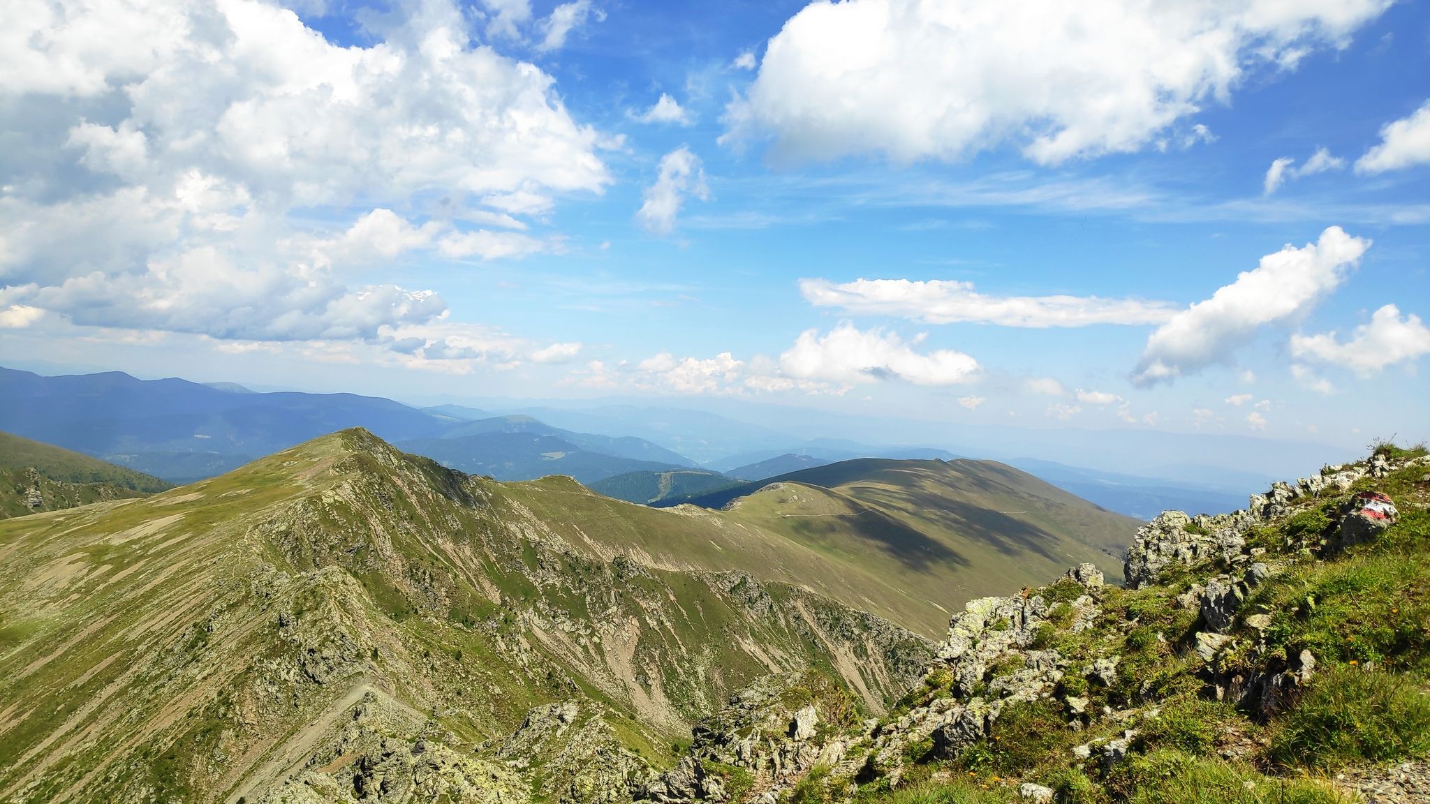
Austria's Salt Trail — On old paths through Carinthia
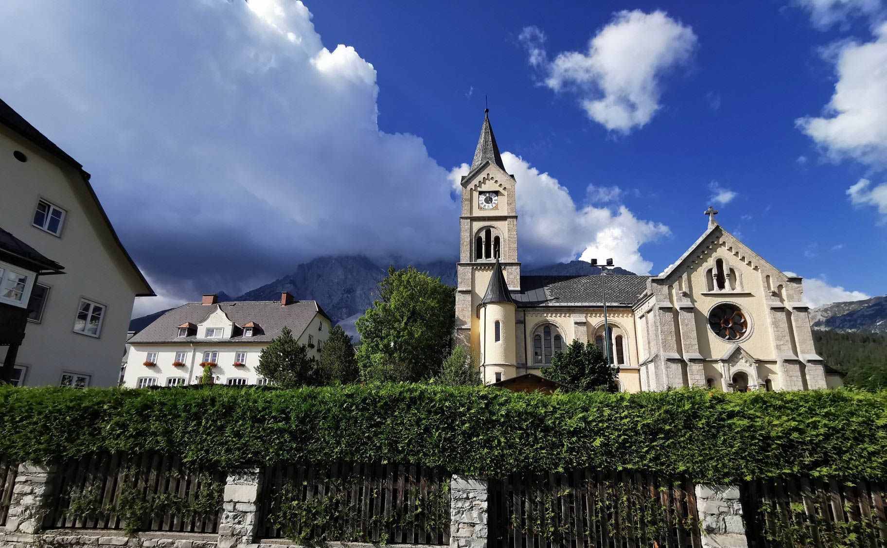
Way of the Book – Hike in the footsteps of the Bible smugglers in Austria

Alpe-Adria-Trail: My long-distance hike from the glacier to the sea
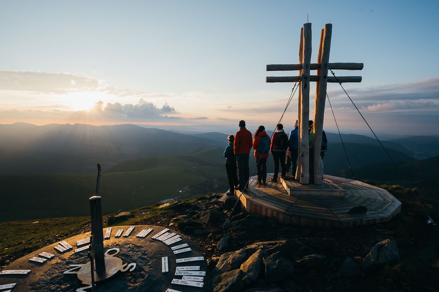
The mountains at sunrise — hikes in Austria’s Nock mountains
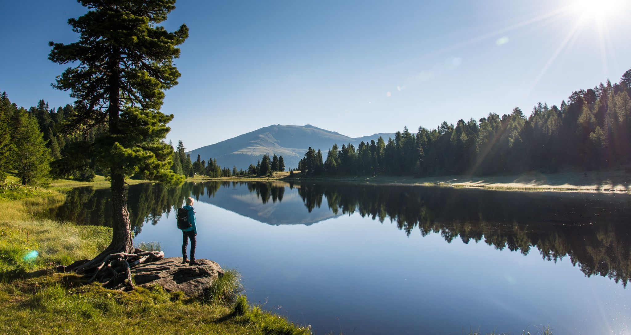
Long distance hiking from mountains to lakes – Nockberge Trail in the Eastern Alps

Magnificent mountain biking on Austria's alpine pastures

Flow as an attitude to life – 5 Flow Trails Carinthia in south Austria
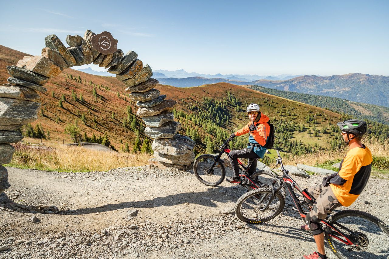
Europe's longest Flow Country Trail – spectacular MTB trails
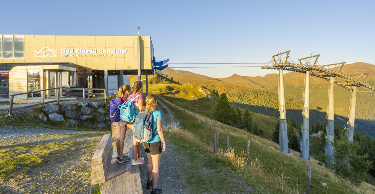
Mit Aufstiegshilfe ins Wandererlebnis auf über 2.000 Meter
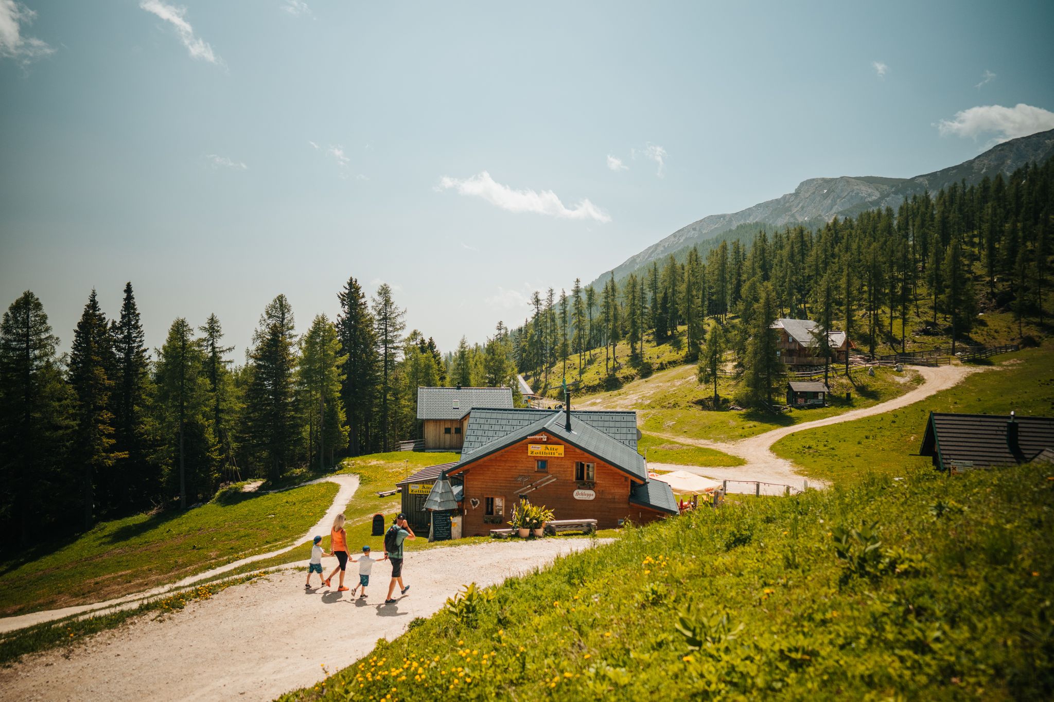
Auszeit auf der Alm – Wandern zu Kärntens schönsten Hütten
Other adventures around Reichenau


Tips from the Community

Allows for a good run even without poles.
1
0
Unfortunately, it is only open until 4 PM
2
0

Simply wonderful to be able to look over all the mountains from above.
0
0
Magnificent view over the Nock Mountains. Especially towards Vilklach from above the clouds.
0
0

Very beautiful trail along lush meadows. If you're a little lucky, you'll see the marmots.
0
0

The Schoberriegel is a 2,208 m (7,208 ft) high mountain located on the border of the municipalities of Reichenau and Albeck on the Turracher Höhe in the Gurktal Alps. The western and eastern flanks are steep and rocky. A gently sloping ridge leads to the summit from the north. To the south, the ridge leads to the summit of the Gruft. It is a popular hiking mountain due to its beautiful views of the Nockberge Mountains and the Turracher Höhe. A summit cross with a summit register is located at the summit.
1
0

With photo station from Nocky
0
0

This is a wonderful place to unwind. Before breakfast or after dinner, you're practically alone.
2
0
Frequently Asked Questions
How many bus station hiking trails are available around Reichenau?
There are over 50 hiking trails around Reichenau that are easily accessible from bus stations. These routes offer a variety of experiences, from easy strolls to more challenging hikes, allowing you to explore the island's unique landscapes and cultural sites using public transport.
What kind of landscapes can I expect on bus-accessible hikes in Reichenau?
Hikes accessible by bus in Reichenau offer a diverse range of landscapes. You'll find stunning lakeside views of Lake Constance, lush vegetable fields, extensive vineyards, and the iconic avenue of poplars along the causeway. The island's mild climate creates an almost Mediterranean atmosphere, perfect for outdoor enjoyment.
Are there any easy, family-friendly walks from Reichenau bus stops?
Yes, Reichenau offers several easy and family-friendly walks accessible from bus stops. Many routes are largely flat and well-signposted, such as sections of the island's circular trail which winds through colorful fields. The Reichenauer Höhenweg is also an easily walkable path along gentle hills, offering fantastic views and is particularly suitable for families.
What cultural attractions can I see on bus-accessible hiking routes in Reichenau?
Reichenau's bus-accessible hiking routes seamlessly integrate natural beauty with rich history. You can explore the island's three significant Romanesque churches—St. Mary and Marcus, St. Peter and St. Paul, and St. George—which are UNESCO World Heritage sites. Additionally, historical monastery gardens, like Strabo's herb garden, offer a glimpse into ancient traditions.
Can I find circular hiking routes starting from a bus station in Reichenau?
Yes, Reichenau is ideal for circular hiking routes starting and ending at bus stations. A popular choice is the approximately 12-kilometer-long island circular trail, which provides a peaceful experience away from main roads, winding through colorful lettuce fields along the island's shore. Many other routes are designed as loops, making public transport access convenient.
What do other hikers say about the bus-accessible trails in Reichenau?
The hiking trails around Reichenau are highly rated by the komoot community, with an average score of 4.7 stars from over 2,500 reviews. Hikers often praise the serene lakeside views, the well-maintained paths through vineyards and fields, and the unique combination of natural beauty with historical sites like the Romanesque churches.
Are there any scenic viewpoints accessible on bus-friendly hikes in Reichenau?
Absolutely. From the Hochwart vantage point, located in the middle of the island, you can enjoy a unique 360-degree panorama of the entire island and the broader Lake Constance region, extending to the Swiss shore. Many lakeside paths also offer spectacular views of the sparkling water and surrounding landscapes.
What is the best time of year to hike around Reichenau using public transport?
Reichenau's mild climate, influenced by Lake Constance, makes it suitable for hiking for much of the year. Spring and autumn offer pleasant temperatures and beautiful scenery with blooming flowers or vibrant fall foliage. Summer is also popular, though it can be warmer, while winter can offer a peaceful, serene experience, especially along the lakeside paths.
Are there any challenging hikes accessible by bus in Reichenau?
While many routes on Reichenau are easy to moderate, the broader region around Lake Constance offers more challenging options that can be reached via public transport connections from Reichenau. These routes might involve more significant elevation changes and longer distances, providing a good workout for experienced hikers.
Can I combine hiking with birdwatching on bus-accessible trails in Reichenau?
Yes, you can. The ruins of Schopflen Castle, located along the causeway connecting the island to the mainland, include a viewing platform that is popular for birdwatching. This spot can be easily incorporated into a bus-accessible hike, offering a chance to observe local birdlife amidst scenic surroundings.
Are there any specific trails that offer a good overview of Reichenau's agricultural landscape?
Many of the island's trails, particularly sections of the circular path, wind directly through Reichenau's famous vegetable fields and vineyards. These routes provide an excellent opportunity to experience the island's fertile lands and agricultural heritage up close, showcasing the vibrant produce grown here.
Most popular routes around Reichenau
Most popular attractions around Reichenau

Get inspired with the komoot mobile app


Explore more
Browse the best Hikes in other regions.
