The best hikes from bus stations around Wolnzach
4.5
(342)
1,858
hikers
81
hikes
Hiking around Wolnzach, located in Bavaria's Hallertau region, offers a landscape characterized by gentle rolling hills, extensive hop fields, and tranquil woodlands. The terrain features low elevations, making it accessible for various fitness levels. Trails often follow waterways, lead through forest edges, and traverse orchard meadows. This area provides a network of paths for exploring a unique agricultural and natural environment.
Best bus station hiking trails around Wolnzach
- The most popular bus station hiking route is Wolnzach Riverside Path –…
Last updated: July 11, 2026
3.8
(5)
23
hikers
13.5km
03:31
100m
100m
Moderate hike. Good fitness required. Easily-accessible paths. Suitable for all skill levels.
5.0
(5)
24
hikers
5.35km
01:25
50m
50m
Easy hike. Great for any fitness level. Easily-accessible paths. Suitable for all skill levels.

Sign up for free
4.9
(13)
30
hikers
9.31km
02:27
80m
80m
Moderate hike. Good fitness required. Easily-accessible paths. Suitable for all skill levels.
4.2
(5)
33
hikers
8.38km
02:13
80m
90m
Moderate hike. Good fitness required. Easily-accessible paths. Suitable for all skill levels.
4.8
(6)
20
hikers
Easy hike. Great for any fitness level. Easily-accessible paths. Suitable for all skill levels.
Get access to more routes and recommendations from other explorers.
Sign up for free
Already have an account?
Our route recommendations are based on thousands of hikes, rides, and runs completed by other people on komoot.
Start today with a free account
Your next adventure awaits.
Login or Signup
Popular around Wolnzach
Other adventures around Wolnzach


Tips from the Community


Very informative path, a recommendation to all beer enthusiasts.
0
0

A truly beautiful church. Highly recommended.
0
0

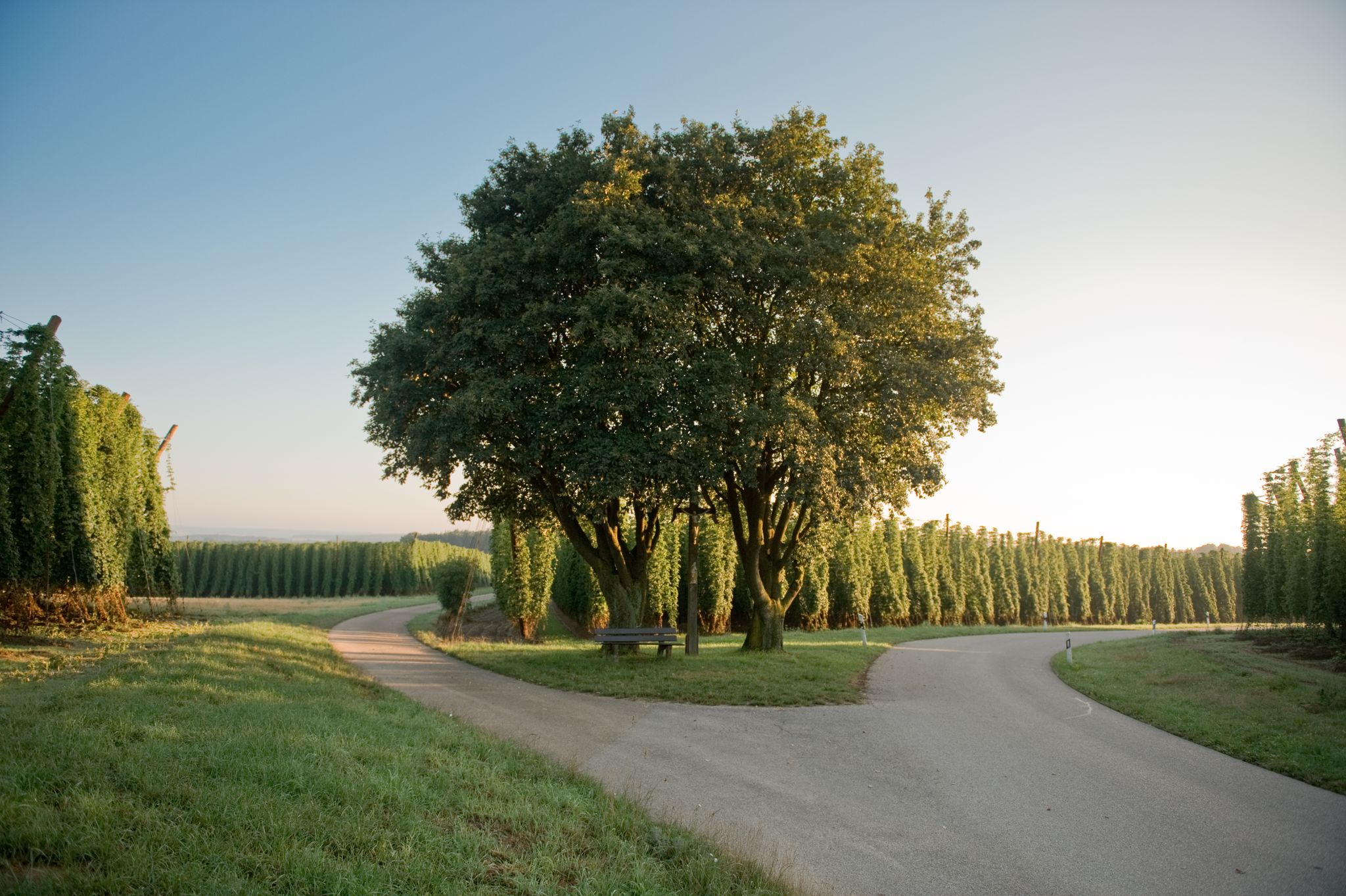
Beautiful cross at the fork in the road
0
0
Frequently Asked Questions
How many hiking trails are accessible from bus stations around Wolnzach?
There are over 85 hiking routes around Wolnzach that are easily accessible from bus stations, offering a wide variety of experiences for all skill levels. Approximately 46 of these are considered easy, 38 moderate, and 1 difficult.
What kind of landscape can I expect on these bus-accessible hikes in Wolnzach?
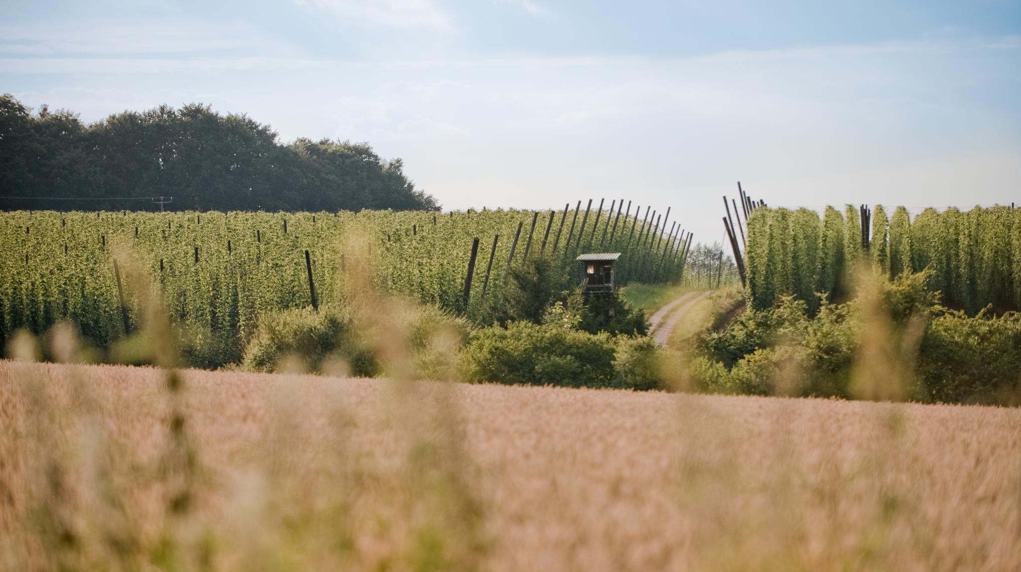
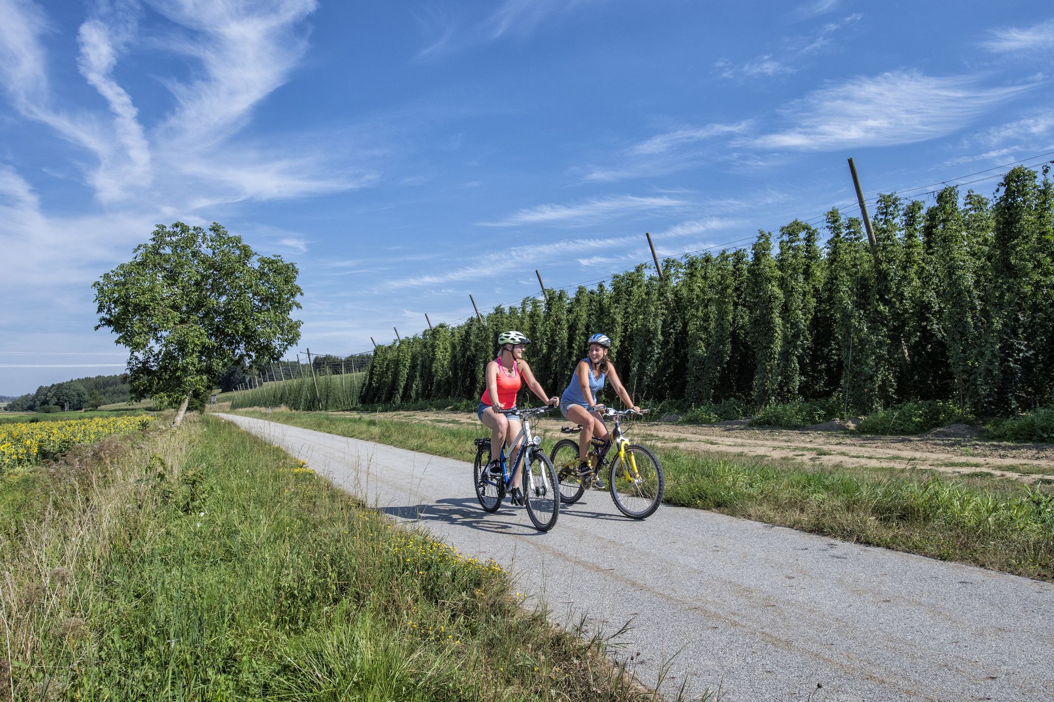
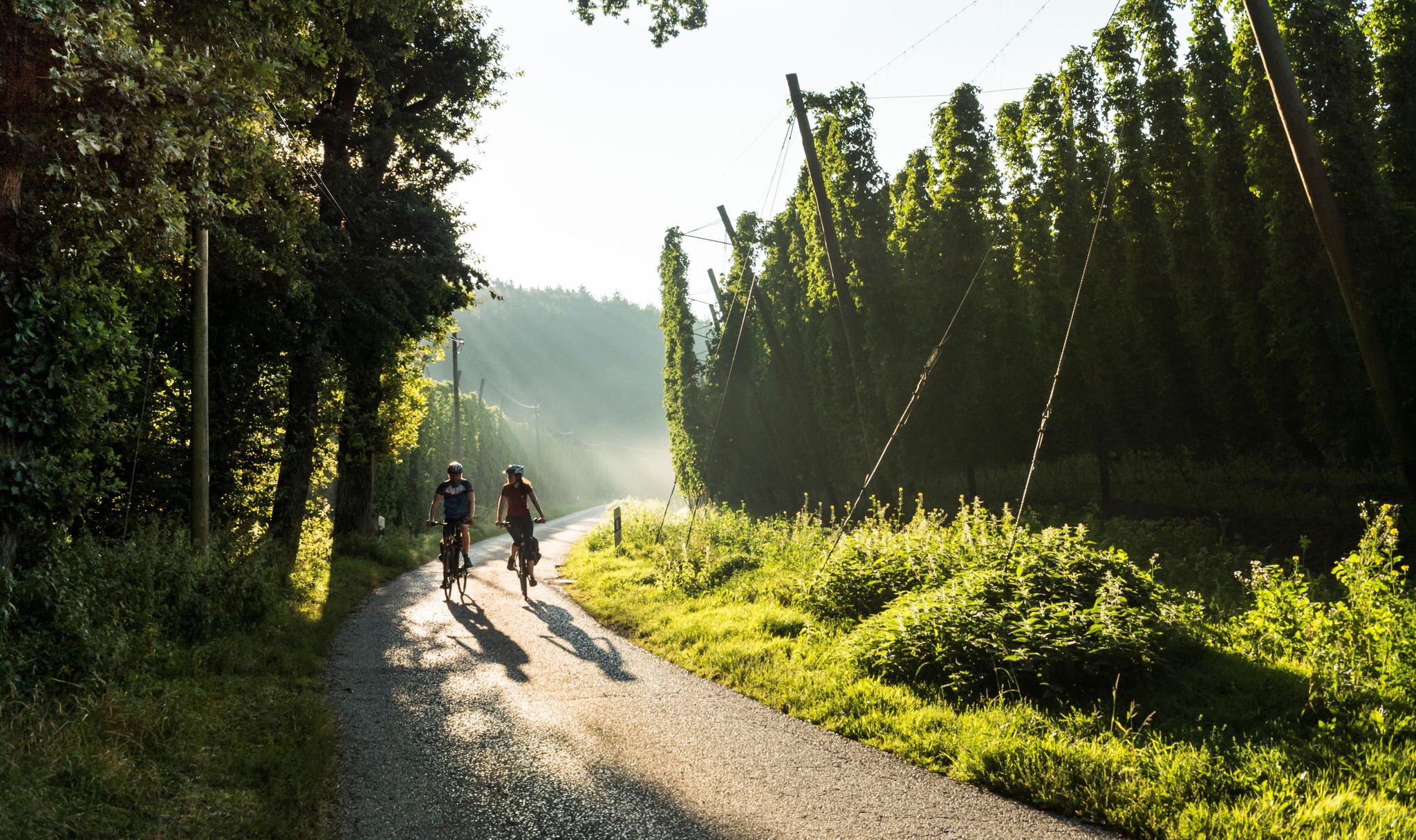
The bus-accessible hikes around Wolnzach primarily traverse the unique landscape of the Hallertau, the world's largest hop-growing region. You'll experience gentle rolling hills, expansive hop fields, tranquil woodlands, and sometimes riverside paths. The terrain is generally low elevation, making it accessible for various fitness levels.
Are there any easy, family-friendly hikes accessible by bus in Wolnzach?
Yes, many of the trails are suitable for families. For an easy and educational experience, consider the Hop Fields Near Kreithof – Hallertau Educational Trail loop from Burgstall, which is about 6.4 km long and showcases the region's defining hop fields. Another great option is the Wayside cross – Forest Trail in Upper Bavaria loop from Stadelhof, an easy 5.3 km forest trail.
Can I find circular hiking routes starting from bus stops in Wolnzach?
Absolutely. Many of the routes accessible by bus are circular, allowing you to start and end at the same point without needing to retrace your steps. A popular choice is the Wolnzach Riverside Path – Hallertau Educational Trail loop from Wolnzach, which is a moderate 13.3 km loop combining riverside walking with educational insights into the region.
What is the best time of year to go hiking from bus stations in Wolnzach?
Wolnzach offers unique experiences throughout the year. Spring brings rapid growth in the hop fields, summer offers lush 'green gold' and a fragrant aroma during harvest, and autumn provides beautiful colors. Even in winter, the intricate structures of the hop fields are visible. The gentle terrain makes it enjoyable in most seasons, but summer and early autumn are particularly popular for experiencing the full beauty of the hop fields.
Are there any trails that showcase the famous hop fields of the Hallertau region?
Yes, the hop fields are a defining feature of the region and many trails pass through them. The Hallertau Educational Trail – View of Wolnzach loop from Wolnzach is a great moderate 9.3 km route that offers excellent views and information about hop cultivation. You'll experience the unique atmosphere of the world's largest contiguous hop-growing area.
What interesting cultural or historical sights can I see along these bus-accessible routes?
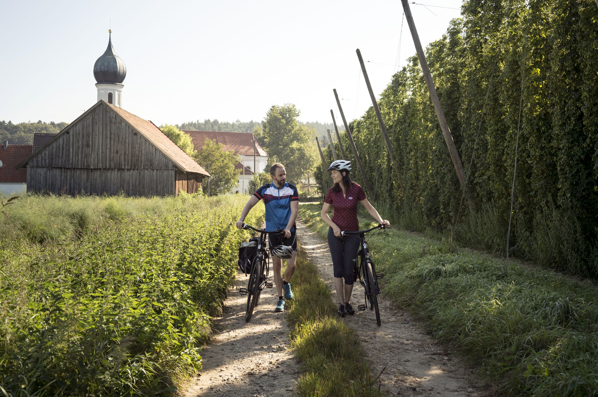
Beyond natural beauty, many routes integrate cultural elements. For example, a route from Wolnzach can lead you to the impressive Baroque pilgrimage church of Mariä Geburt in Lohwinden, or the late Gothic parish church of St. Margaretha in Königsfeld. You can also explore the historic Starzhauser Wasserschloss – Wasserschloss Starzhausen loop from Wolnzach, a 5.6 km easy route that takes you past the moated castle in Starzhausen.
Are there any viewpoints or scenic spots on the bus-accessible trails around Wolnzach?
Yes, despite the gentle hills, there are several spots offering expansive views. For instance, a route from Egg leads to the Highest Point of the Hallertau, providing panoramic vistas of the surrounding hop fields and countryside. Many trails also offer scenic views over the Wolnzach valley and its charming villages.
Are the bus-accessible hiking trails around Wolnzach suitable for dogs?
Generally, the trails in Wolnzach are dog-friendly, especially those through forests and fields. It's always recommended to keep dogs on a leash, particularly when passing through hop fields or near livestock. Ensure you carry enough water for your pet, as natural water sources might not always be available.
What do other hikers enjoy the most about hiking in Wolnzach?
The area is highly rated by the komoot community, with an average score of 4.56 stars. Reviewers often praise the unique experience of walking through the hop fields, the tranquility of the gentle hills and forests, and the well-maintained paths that cater to various abilities. The combination of natural beauty and cultural insights is frequently highlighted as a major draw.
Most popular routes around Wolnzach
Most popular attractions around Wolnzach

Get inspired with the komoot mobile app


Explore more
Browse the best Hikes in other regions.
