The best hikes from bus stations around Obersontheim
4.6
(5073)
21,859
hikers
80
hikes
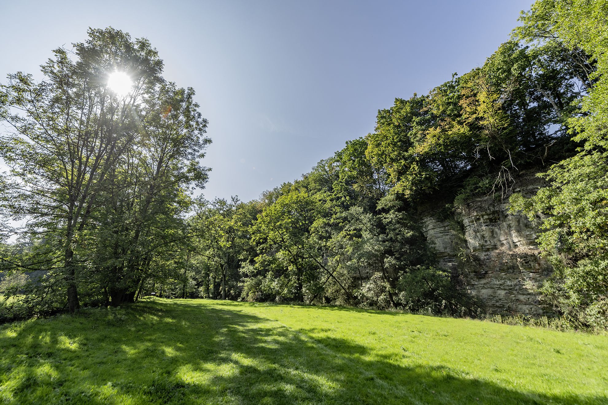
Bus station hiking trails around Obersontheim are situated in a varied landscape featuring rolling hills and extensive forests. The region is shaped by the Bühlertal and Fischachtal river valleys, which provide diverse terrain and scenic river paths. Hikers can explore the wooded heights of the Limpurger Mountains and unique open gypsum keuper landscapes. This natural setting offers a range of environments for outdoor activities.
Best bus station hiking trails around Obersontheim
- The most popular bus station hiking route is Obersontheim Castle – Taubenloch on the Bühler River loop from Obersontheim, a 5.7 miles (9.1 km) trail that takes 2 hours 29 minutes to complete. This moderate route includes views of the local castle and follows the Bühler River.
- Another top favourite among local hikers is Galgenberg – Obersontheim Castle loop from Obersontheim, a moderate 7.9 miles (12.6 km) path. This trail offers views of the Galgenberg hill and Obersontheim Castle.
- Local hikers also love the Bannwald Forest Trail – Bannwald Nature Reserve loop from Herlebach, a 6.2 miles (9.9 km) trail leading through the Bannwald Nature Reserve, often completed in about 2 hours 41 minutes.
- Hiking around Obersontheim is defined by gentle hills, river valleys, and extensive forests. The network of trails offers options for various ability levels, from easy strolls to moderate hikes.
- The routes in Obersontheim are highly rated by the komoot community with an average score of 4.6 stars from more than 4600 reviews. More than 21000 hikers have used komoot to explore Obersontheim's varied terrain.
Last updated: July 11, 2026
4.0
(5)
23
hikers
Moderate hike. Good fitness required. Easily-accessible paths. Suitable for all skill levels.
3.9
(16)
29
hikers
12.6km
03:20
130m
130m
Moderate hike. Good fitness required. Easily-accessible paths. Suitable for all skill levels.

Sign up for free
5.0
(7)
21
hikers
9.96km
02:41
130m
130m
Moderate hike. Good fitness required. Easily-accessible paths. Suitable for all skill levels.
5.0
(3)
13
hikers
Easy hike. Great for any fitness level. Easily-accessible paths. Suitable for all skill levels.
5.0
(1)
11
hikers
4.67km
01:15
50m
50m
Easy hike. Great for any fitness level. Easily-accessible paths. Suitable for all skill levels.
Get access to more routes and recommendations from other explorers.
Sign up for free
Already have an account?
Our route recommendations are based on thousands of hikes, rides, and runs completed by other people on komoot.
Start today with a free account
Your next adventure awaits.
Login or Signup
Popular around Obersontheim
Other adventures around Obersontheim

Tips from the Community

Beautiful untouched paths around the lake
0
0


It is a pleasure to look out over the vastness.
1
0


It can no longer be as dangerous as the warning signs suggest, because it was not deemed necessary to build a protective fence around the lake and the forest!!
2
0
Is that supposed to be a highlight???? A path with trees left and right...
1
0

This trail is closed to bicycles. This should also be respected!
0
0

The confluence with the Steinbach forms the so-called Taubenloch. A small piece of wilderness, framed by limestone cliffs, with beautiful narrow paths.
2
0
Frequently Asked Questions
How many hiking trails are accessible from bus stations around Obersontheim?
There are over 80 hiking trails around Obersontheim that are easily accessible from local bus stations. This includes a wide variety of routes suitable for different fitness levels and preferences.
Are there easy hiking trails accessible from Obersontheim bus stations?
Yes, Obersontheim offers 27 easy hiking routes directly from bus stations. A great option for a relaxed walk is the View of the Barn on the Hill – View of Mittelfischach loop from Mittelfischach, which is just over 5 km long with minimal elevation gain. Another gentle choice is the Small Pond – Steinwiesen Brünnele loop from Obersontheim, perfect for a shorter outing.
What kind of landscapes can I expect on hikes from Obersontheim bus stations?
The region around Obersontheim, accessible from bus stations, features diverse landscapes. You'll encounter rolling hills, extensive forests, and picturesque river valleys like the Bühlertal and Fischachtal. Many trails also lead through the wooded heights of the Limpurger Mountains and unique open gypsum keuper landscapes, offering varied scenery throughout your hike.
Are there any family-friendly routes starting from Obersontheim bus stations?
Absolutely. Many of the easy routes are suitable for families. The gentle terrain, particularly along the Helau River mentioned in regional research, provides wonderful paths for strolling. Look for routes with shorter distances and minimal elevation, such as the Small Pond – Steinwiesen Brünnele loop from Obersontheim, which is under 5 km and easy to navigate.
Can I bring my dog on these bus station accessible hikes?
Most hiking trails in the Obersontheim region are dog-friendly, provided your dog is kept on a leash, especially in nature reserves or near livestock. The extensive forests and river paths offer plenty of opportunities for you and your canine companion to enjoy the outdoors together. Always remember to carry water for your dog and clean up after them.
Are there circular routes available from Obersontheim bus stations?
Yes, many of the trails accessible from Obersontheim bus stations are circular routes, allowing you to start and end your hike at the same point without needing to retrace your steps. Examples include the Obersontheim Castle – Taubenloch on the Bühler River loop from Obersontheim and the Bannwald Forest Trail – Bannwald Nature Reserve loop from Herlebach.
What interesting landmarks or attractions can I see on these trails?
Hikes from Obersontheim bus stations often pass by historical and natural points of interest. You might encounter Tannenburg Castle, or the scenic Helau River. Some routes, like the Obersontheim Castle – Taubenloch on the Bühler River loop, directly incorporate the local castle into the experience.
Where can I find good viewpoints on hikes around Obersontheim bus stations?
The rolling hills and Limpurger Mountains provide several opportunities for scenic viewpoints. While specific viewpoints might vary by route, you can often find panoramic vistas over the Hohenlohe plain and river valleys. For dedicated views, consider exploring areas near Altenberg Tower or Burgberg Tower, which are popular spots for expansive views.
What is the best time of year to hike from Obersontheim bus stations?
Obersontheim offers beautiful hiking experiences year-round. Spring brings blossoming orchards, summer provides warm temperatures ideal for longer treks, and autumn transforms the forests into a spectacle of color. Even winter offers a unique charm with snowy landscapes, though some paths might require appropriate gear.
Are there places to eat or drink near the bus station hiking trails?
While specific cafes directly on every trail are not guaranteed, Obersontheim and nearby towns like Vellberg and Schwäbisch Hall offer various options for refreshments. It's always a good idea to check local listings for restaurants and cafes in the villages you pass through or at your starting/ending bus station.
How long are the typical hiking trails from Obersontheim bus stations?
The hiking trails accessible from Obersontheim bus stations vary in length. You can find shorter routes, such as the View of the Barn on the Hill – View of Mittelfischach loop at just over 5 km, perfect for a quick outing. There are also longer, moderate routes like the Galgenberg – Obersontheim Castle loop from Obersontheim, which extends to over 12 km.
What do other hikers enjoy most about the trails around Obersontheim?
The hiking trails around Obersontheim are highly rated by the komoot community, with an average score of 4.6 stars. Reviewers often praise the diverse natural features, including the tranquil river valleys and extensive forests, as well as the well-maintained network of paths that cater to various difficulty levels.
Most popular routes around Obersontheim
Most popular attractions around Obersontheim

Get inspired with the komoot mobile app


Explore more
Browse the best Hikes in other regions.
