The best hikes from bus stations around Bönnigheim
4.5
(16071)
68,875
hikers
30
hikes
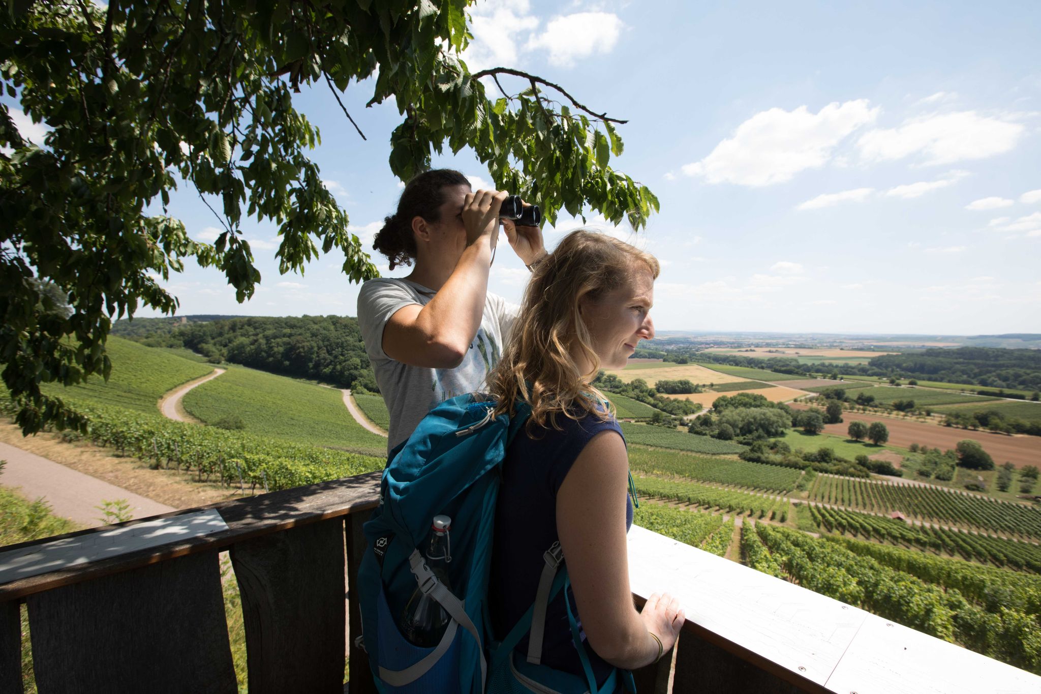
Bus station hiking trails around Bönnigheim traverse a landscape characterized by rolling hills, extensive vineyards, and dense forests. The region is situated at the edge of the Stromberg-Heuchelberg Nature Park, offering varied terrain. Hikers can expect paths through oak and pine woodlands, as well as routes winding through vineyards on warm, dry slopes. The nearby Neckar River also contributes to the diverse topography of the broader area.
Best bus station hiking trails around Bönnigheim
- The most popular bus station hiking…
Last updated: June 27, 2026
4.0
(2)
33
hikers
Easy hike. Great for any fitness level. Easily-accessible paths. Suitable for all skill levels.
5.0
(6)
22
hikers
Moderate hike. Good fitness required. Easily-accessible paths. Suitable for all skill levels.

Sign up for free
16
hikers
2.61km
00:41
20m
20m
Easy hike. Great for any fitness level. Easily-accessible paths. Suitable for all skill levels.
4.0
(3)
11
hikers
8.07km
02:14
140m
140m
Moderate hike. Good fitness required. Easily-accessible paths. Suitable for all skill levels.
9
hikers
Easy hike. Great for any fitness level. Easily-accessible paths. Suitable for all skill levels.
Get access to more routes and recommendations from other explorers.
Sign up for free
Already have an account?
Our route recommendations are based on thousands of hikes, rides, and runs completed by other people on komoot.
Start today with a free account
Your next adventure awaits.
Login or Signup
Popular around Bönnigheim
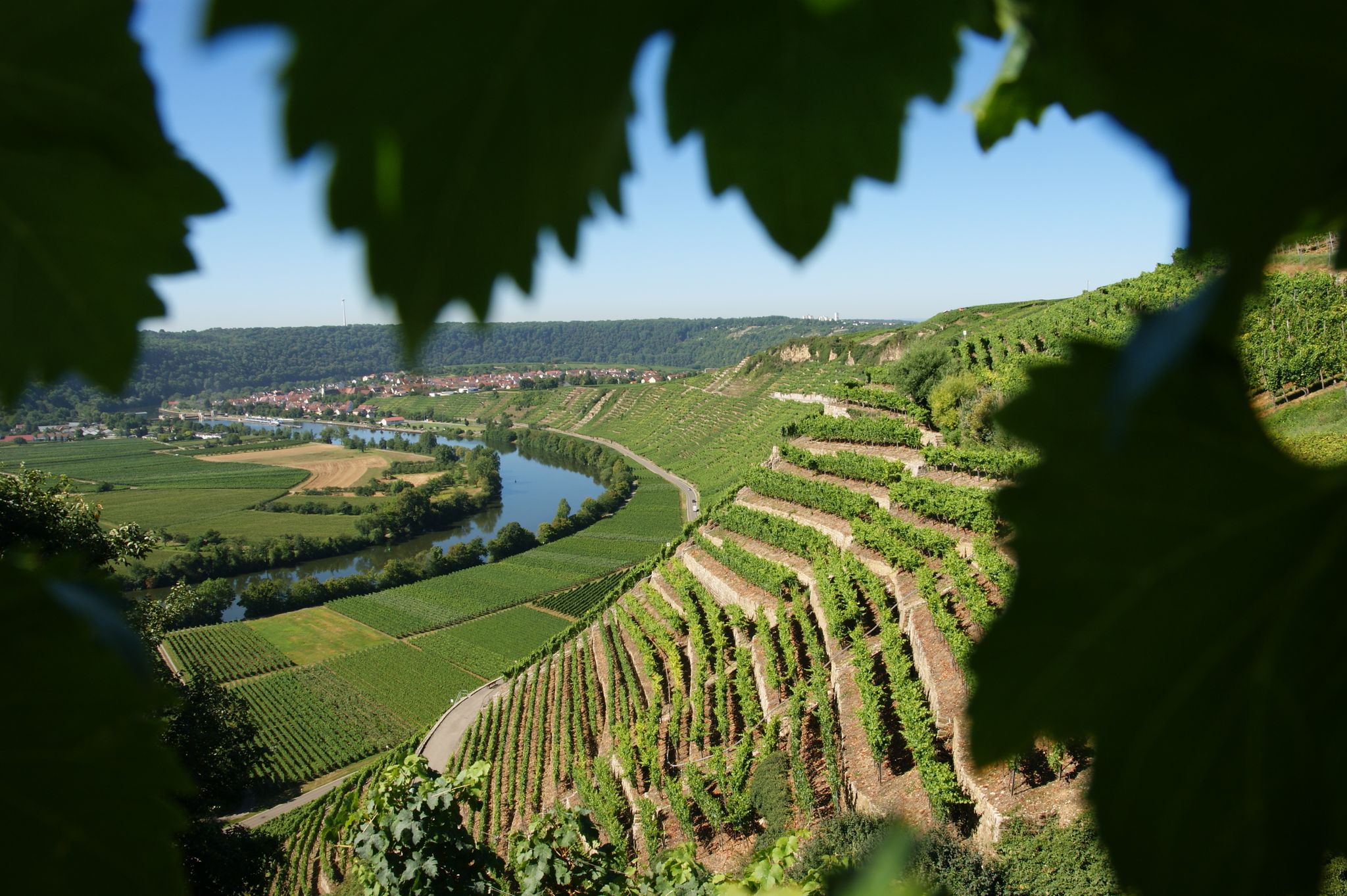
Where the wine grows in loops – hiking in the 3B-Land

Spring in the land of 1,000 hills – Kraichgau-Stromberg in Germany
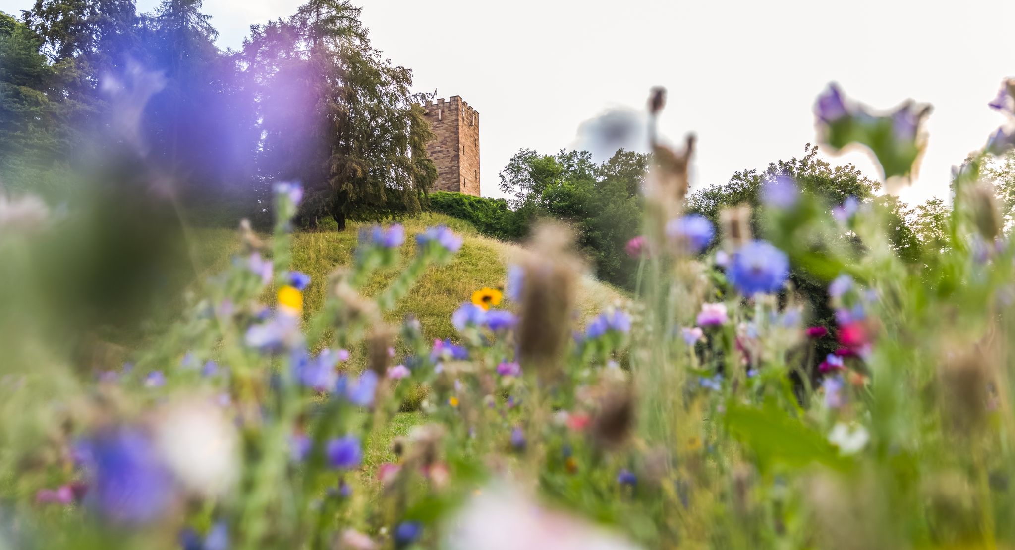
On foot in the nature park Stromberg-Heuchelberg
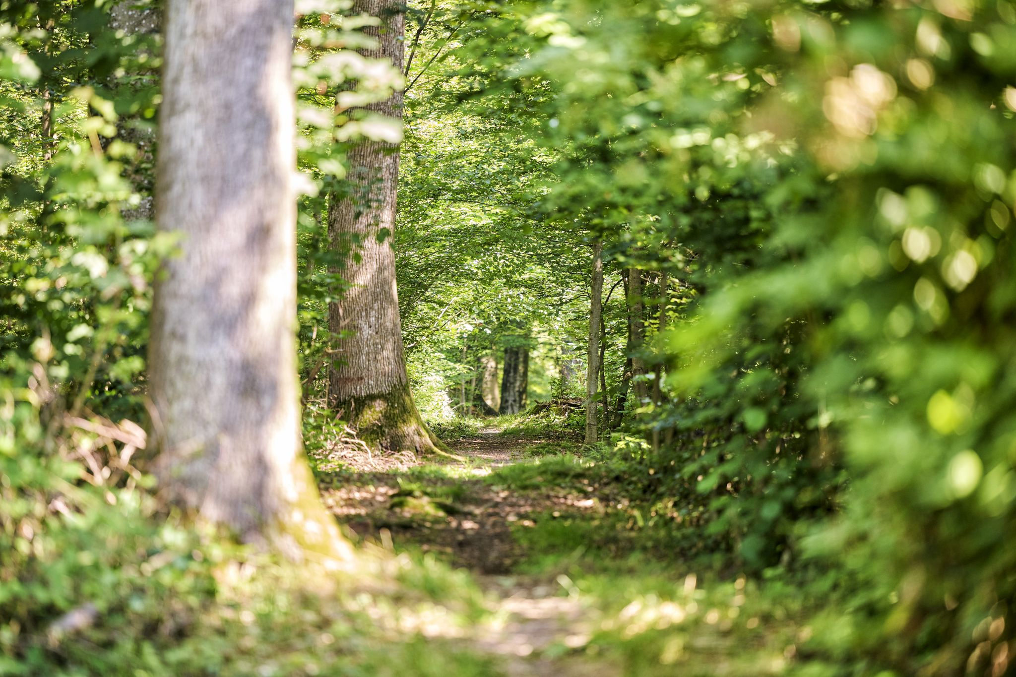
Trail running between woodlands & wine in the Land of 1000 Hills
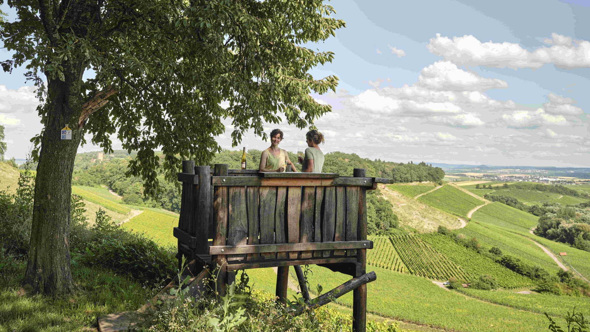
Genusswandern: Auf Wein(wander)wegen durch das Land der 1000 Hügel

Wander3Klänge: Einfach Los Wandern im Naturpark Stromberg-Heuchelberg

Zu Fuß durchs Land der 1000 Hügel
7 aussichtsreiche Wandertouren im Land der 1000 Hügel
Other adventures around Bönnigheim

Tips from the Community

View of the Michaelsberg
0
0
Vineyard land consolidation 2020/21
0
0
Sunny view of the Michaelsberg and the Katharinenplaisir
0
0
View of Neckarwestheim and the Löwenstein Mountains in the background
0
0

On an east-facing mountain spur formed by the Mühlbach stream to the north and the Neckar Valley, Hohenstein Castle now stands on the site of a medieval castle. The premises currently house a research institute for technical chemistry in the textile industry.
7
0
The former dairy building was built in 1593. The farmyard constructed for the castle included several barns, probably the adjacent wine press that still exists today, and served as the main and administrative building. In 1848, the building became the property of the municipality of Bönnigheim and was used as the town hall. With the incorporation of Hohenstein into the town of Bönnigheim in 1972, the building's use as the town hall was discontinued.
7
0
Frequently Asked Questions
How many bus-accessible hiking trails are there around Bönnigheim?
There are over 30 hiking routes around Bönnigheim that are easily accessible from bus stations. The majority of these, 23 to be exact, are classified as easy, making them suitable for a wide range of hikers.
Are there easy hiking trails accessible by bus from Bönnigheim?
Yes, Bönnigheim offers many easy hiking trails directly accessible by bus. For instance, the View of Hofen – Rest Benches by the Cycle Path loop from Bönnigheim is a gentle 4.6 km route, perfect for a relaxed outing. Another easy option is the Salamanderhütte Rest Area – View of Hofen loop from Bönnigheim, which is just over 2.6 km.
Can I find circular hiking routes starting from Bönnigheim's bus stations?
Absolutely. Many of the bus-accessible trails around Bönnigheim are designed as circular routes, allowing you to start and finish at the same point. This is a common feature in the region, including within the Stromberg-Heuchelberg Nature Park's 'Wander3Klang' system, which offers over 60 circular routes from easily accessible starting points.
What kind of landscapes can I expect on bus-accessible hikes near Bönnigheim?
Hikes near Bönnigheim offer a diverse landscape, from rolling hills and extensive vineyards, especially on the warm southern slopes, to dense forests of oak and pine. You'll experience the picturesque scenery of the Stromberg-Heuchelberg Nature Park, with its mix of elevations and varied terrains.
Are there any specific viewpoints or natural attractions along these bus-accessible trails?
Yes, the region is rich in natural beauty and viewpoints. Many trails offer panoramic views, such as those leading up to the Michaelsberg, where the Michaelskapelle (Michael's Chapel) provides stunning vistas. You might also encounter natural monuments like the Wobachfelsen Muschelkalk Cliffs near Bietigheim or serene lakes like the Ehmetsklinge Reservoir, which are part of the broader regional attractions.
Are the bus station hiking trails around Bönnigheim suitable for families?
Many of the bus-accessible trails are very family-friendly, especially the 23 easy routes available. These often feature gentle inclines and shorter distances, making them ideal for children. The diverse landscapes, from forests to vineyards, also provide engaging environments for younger hikers.
Can I bring my dog on these bus-accessible trails?
Most hiking trails in the Bönnigheim region are dog-friendly, provided your dog is kept on a leash, especially in nature protection areas or near wildlife. The varied terrain, including forests and open paths, offers plenty of opportunities for walks with your canine companion.
What are some historical points of interest I might encounter on bus-accessible hikes?
The region around Bönnigheim is steeped in history. On your hikes, you might come across ancient sites like the 'Rennweg,' a Celtic long-distance path on the Stromberg ridges dating back 2,500 years. The municipal forest also contains sites commemorating the Württemberg king's hunting grounds from the 19th century, such as the 'Altertum und Königsitz'.
What is the best time of year to hike the bus-accessible trails around Bönnigheim?
The Bönnigheim region is beautiful year-round, but autumn is particularly stunning when the vineyards are rich with Lemberger grapes and the foliage turns vibrant colors. Spring offers fresh greenery and blooming wildflowers, while summer is great for longer days. Even winter hiking is possible, with the forests offering a quiet, serene experience.
Are there any moderate bus-accessible hikes for more experienced hikers?
Yes, for those seeking a bit more challenge, there are 9 moderate routes accessible by bus. An example is the Michaelsberg, Cleebronn – View of the Wildpark Tripsdrill loop from Bönnigheim, which covers over 11 km with more significant elevation changes, offering rewarding views.
What do other hikers say about the bus-accessible trails in Bönnigheim?
The bus-accessible trails around Bönnigheim are highly regarded by the komoot community, with an average rating of 4.56 out of 5 stars from over 14,900 ratings. Hikers frequently praise the well-maintained paths, the scenic vineyards, and the peaceful forest sections, highlighting the region's diverse natural beauty.
Can I find trails that offer views of vineyards from a bus station?
Yes, many trails in the Bönnigheim area, accessible by bus, wind through the region's characteristic vineyards. The View of Michaelsberg – Little Stairway to Heaven loop from Bönnigheim, for example, offers extensive views across terraced vineyards and the surrounding landscape.
Most popular routes around Bönnigheim
Most popular attractions around Bönnigheim

Get inspired with the komoot mobile app


Explore more
Browse the best Hikes in other regions.
