The best hikes from bus stations around Schwaigern
4.5
(11930)
48,550
hikers
49
hikes
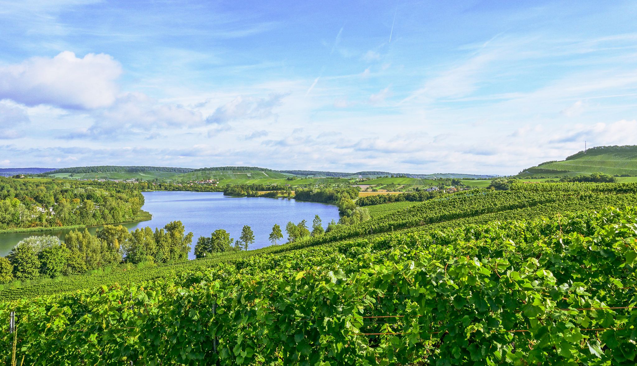
Hiking around Schwaigern offers a diverse landscape characterized by rolling hills, expansive vineyards, and tranquil forests. The region, situated between the Kraichgau and the Stromberg, provides varied terrain for outdoor exploration. Prominent features include the Heuchelberg ridge, which offers panoramic views, and numerous paths winding through viticultural areas. This area is defined by its gentle elevations and a network of trails suitable for different hiking preferences.
Best bus station hiking trails around Schwaigern
- The most popular bus station hiking route…
Last updated: October 28, 2026
4.7
(3)
23
hikers
Moderate hike. Good fitness required. Easily walkable paths.
4.5
(6)
29
hikers
Easy hike. Easily walkable paths.

4.3
(4)
17
hikers
6.50km
01:43
60m
60m
Easy hike. Easily walkable paths.
4.2
(5)
19
hikers
Moderate hike. Good fitness required. Easily walkable paths.
5.0
(1)
16
hikers
Easy hike. Easily walkable paths.
Get access to more routes and recommendations from other explorers.
Already have an account?
Our route recommendations are based on thousands of hikes, rides, and runs completed by other people on komoot.
Other adventures around Schwaigern

Tips from the Community

Nice place for a checkpoint and refreshment point with a view
0
0

In 2009, 30 damaged boundary stones were restored and re-erected along Birnbaumallee.
9
0
A cozy resting place for hikers and walkers. It is surrounded by fruit trees and vines. The hut offers benches and tables that are perfect for a short break or a picnic. From here you have a wonderful view over Kleingartach and the surrounding landscape.
8
0
The Leinburg near Kleingartach, also known as Lüneburg or Luneburg, is a ruined hilltop castle. It was built around 1200 by the Lords of Leinburg and was located on the 307-meter-high Leinberg. The castle was abandoned in the 16th century and has been considered derelict since 1442.
8
0
The land consolidation in Kleingartach was an important project to improve agricultural structures and landscape conservation. This measure aimed to optimize the use of land and increase the efficiency of agriculture. A special souvenir from this period is the wine barrel, which is a symbol of the wine-growing culture in the region.
8
0
Built in 1738, it stands majestically at Rathausgasse 1.
7
0
Located in the town center, this fountain has historical significance. It is not only a source of water, but also a meeting place for the community.
7
0
From this small hut you can buy home-produced eggs very cheaply.
7
0
Frequently Asked Questions
How many hiking trails are accessible from bus stations around Schwaigern?
There are nearly 50 hiking trails around Schwaigern that are easily accessible from bus stations. This includes 35 easy routes and 10 moderate routes, ensuring options for various fitness levels.
Are there easy, family-friendly hikes accessible by bus in Schwaigern?
Yes, Schwaigern offers many easy and family-friendly hikes accessible by bus. A great option is the Children's Playground – Water Tower on Eselsberg loop from Schwaigern, which is about 5 km long and features a children's playground. The region also has shorter circular trails like the "Schwarzkittel-Weg" around Massenbachhausen, designed for playful learning.
What kind of terrain can I expect on bus-accessible hikes around Schwaigern?
The terrain around Schwaigern is diverse, featuring rolling hills, extensive vineyards, and relaxing forest paths. Many routes, especially those in the Kraichgau and around the Heuchelberg, offer picturesque vineyard landscapes and panoramic views. You'll find a mix of paved and unpaved paths, suitable for various hiking experiences.
Are there any circular routes starting from bus stations in Schwaigern?
Absolutely. Many routes accessible by bus are circular, allowing you to return to your starting point without retracing your steps. For example, the Water Tower on Eselsberg – Römerhof Dam loop from Schwaigern is an easy 6.5 km circular hike, perfect for a relaxed outing.
What are some notable landmarks or attractions I can see on these bus-accessible hikes?
You can discover several interesting landmarks and attractions. The St. Ottilien Chapel on the Ottilienberg is a significant religious building. For historical interest, consider routes near Neipperg Castle, known for its impressive baroque garden. The Historical Stone Marker on the Stromberg Swabian Forest Trail also offers a glimpse into the region's past.
Can I find places for refreshments or a break along the bus station hiking trails?
Yes, several routes offer opportunities for refreshments. The Heuchelberg features a watchtower with a gastronomic establishment and a beer garden, making it a rewarding stop. You might also encounter traditional wine taverns in picturesque villages along wine routes. The Pfeiferhütte Barbecue Area and the Wine stand on the Zweifelberg are other spots to consider for a break.
What is the best time of year to go hiking from bus stations in Schwaigern?
Spring and autumn are generally considered the best seasons for hiking in Schwaigern. The weather is mild, and the landscape is particularly vibrant, with blooming flowers in spring and colorful foliage in autumn. These seasons offer ideal conditions for enjoying the vineyards and forest paths.
Are there any moderate hikes accessible by bus for more experienced hikers?
Yes, for those seeking a bit more challenge, there are 10 moderate routes accessible by bus. An example is the Wildlife Tower Ottilienberg – Ottilienberg Barbecue Area loop from Kleingartach, which covers about 10.7 km with moderate elevation changes.
What do other hikers enjoy most about the trails around Schwaigern?
The komoot community highly rates the hiking experience around Schwaigern, with an average score of 4.6 stars. Reviewers often praise the beautiful vineyard landscapes, the varied terrain, and the well-maintained paths that offer stunning panoramic views, especially from spots like the Heuchelberg watchtower.
Are there any specific trails that offer good viewpoints?
Many trails in the region provide excellent viewpoints, particularly those traversing the rolling hills and vineyards. The Heuchelberg watchtower is a prime destination for breathtaking panoramic views of the surrounding area. The Trollinger Hut Kleingartach – Leinburg Ruins and Viewpoint loop from Kleingartach is another route designed to include scenic vistas.
Most popular routes around Schwaigern
Most popular attractions around Schwaigern

Get inspired with the komoot mobile app


Explore more
Browse the best Hikes in other regions.
