The best traffic-free bike rides around Laußig
4.6
(211)
1,979
riders
40
rides
No traffic road cycling routes around Laußig provide access to Saxony's extensive cycling network, characterized by varied landscapes suitable for different cycling intensities. The region features undulating terrain with moderate ascents and descents, offering engaging challenges for road cyclists. Proximity to the Dübener Heide Nature Park ensures scenic backdrops of forests and meadows, while connections to the Elbe River via the Pretzsch Ferry open up opportunities for longer rides along the river.
Best no traffic road cycling routes around Laußig
…Last updated: October 28, 2026
4.6
(9)
86
riders
Moderate road ride. Good fitness required. Some segments of this route may be unpaved and difficult to ride.
4.0
(1)
13
riders
38.1km
01:35
100m
100m
Easy road ride. Mostly well-paved surfaces and easy to ride.

5.0
(1)
9
riders
28.0km
01:11
100m
100m
Moderate road ride. Some segments of this route may be unpaved and difficult to ride.
4.5
(2)
8
riders
36.1km
01:34
80m
80m
Easy road ride. Mostly well-paved surfaces and easy to ride.
4.5
(2)
10
riders
33.1km
01:23
120m
120m
Moderate road ride. Some segments of this route may be unpaved and difficult to ride.
Get access to more routes and recommendations from other explorers.
Already have an account?
Our route recommendations are based on thousands of hikes, rides, and runs completed by other people on komoot.
Start today with a free account
Your next adventure awaits.

Tips from the Community

small inexpensive option to quickly change sides
0
0
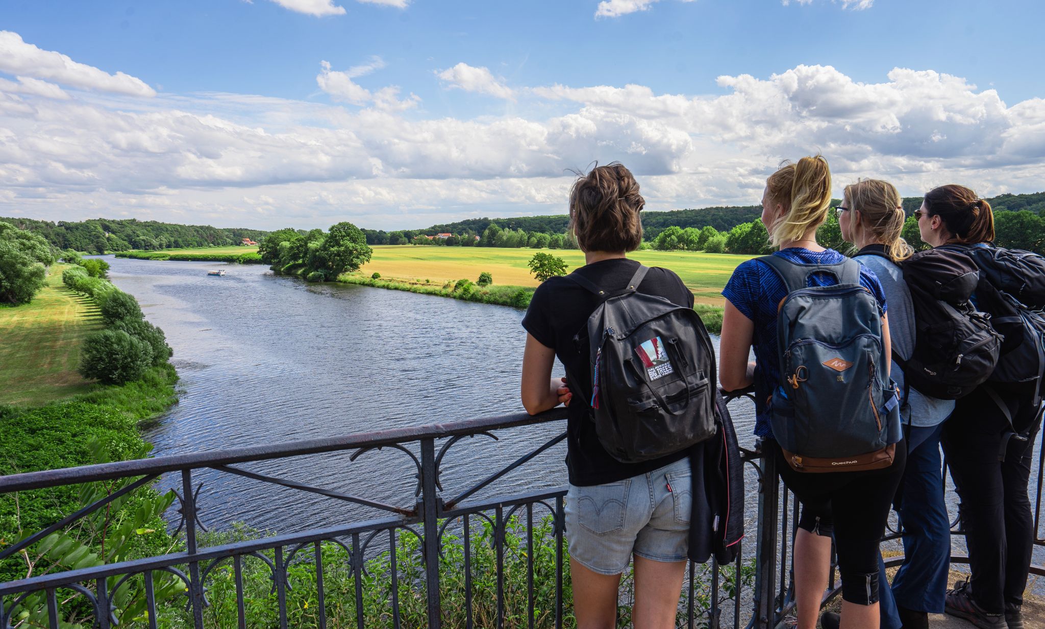
Small tow ferry that quickly transports you to the other side of the Elbe for a small fee
0
0

In the western facade half facing the market square is the round-arched entrance portal with its rusticated surround. It is preceded by a terrace, which is accessible via a wide side staircase. The stair landing, clad in Rochlitzer Porphyr, has an upward-closing cornice. The entrance to the Ratskeller is located west, below the terrace. The plinth level is provided with a grey rendered groove, which is interrupted by the external staircase and partly by the bay window. A plinth cornice forms the separation to the ground and first floors. The windows on these floors have a repeating profiled surround. In the ground floor, on the outer western facade, there is a bay window supported by two consoles. The bay window, framed by ashlar, is crowned by the Eilenburg town coat of arms, which in turn is flanked by two volutes and bordered at the top by a triangular pediment. Between the first and second floors runs a string course, which, as a former roof cornice, marks the height of the roof edge of the predecessor building. This string course offsets the dormer with a round-arched gable, which projects from the second floor. In this projection, there is a small balcony, and above it – separated again by a cornice – the town hall clock. The window surrounds of the second floor, which was added in 1949, are based on the design of the lower floors, but are not further profiled. The facade is finished by a massive roof cornice, which is interrupted by the projecting dormer. The high roof has four small shed dormers facing the market square. The high gables were rebuilt after the war, preserving their Renaissance character. They have a horizontal division with two cornices. Pilasters, which on the outside in the tapering gable rise to a capital crowned by a sphere, represent the vertical division. On the rear facade facing Nikolaiplatz, there is a single-storey extension from the reconstruction period. This is designed so that a small courtyard is created behind the town hall, which is accessible from Nikolaiplatz via a gate entrance.
4
0
The town hall in Eilenburg, North Saxony, is a multi-story Renaissance building. It dates partly back to 1545. In its current appearance, the town hall has existed since 1949, when reconstruction after the Second World War was completed. The building forms the southern edge of the market square and, due to its local and architectural historical significance, is a registered cultural monument in the monument list of the Saxon State Office for Monument Preservation. Source https://de.wikipedia.org/wiki/Rathaus_Eilenburg
4
0
Directly from the road, you have this beautiful view of the pond.
1
0

Definitely worth seeing
1
0
The lake lies southeast of Bitterfeld-Wolfen and north of Delitzsch and, together with the Muldestausee, encloses the village of Pouch located in the center of the landscape. In 1998, the flooding of the former open-cast mining area began with the introduction of Mulde river water. However, the project was not completed in 2006, but already in 2002: a break in the Mulde dam caused by the Mulde flood caused the body of water to fill up by 7 meters within two days, far exceeding the target water level, so that it overflowed and partially submerged the nearby town of Bitterfeld (maximum water level 78.64 m above sea level, target water level today 75 m above sea level[1]).[2] Water level gauge tower While the open-cast mine extended across Saxony-Anhalt and Saxony, the present-day Großer Goitzschesee is located in the state of Saxony-Anhalt on the border with Saxony. In contrast, the Seelhausener See, located to the south, lies almost entirely in Saxony; formerly, the Goitzsche open-cast mine was also located there. Source https://de.wikipedia.org/wiki/Gro%C3%9Fer_Goitzschesee
5
0
Frequently Asked Questions
How many no traffic road cycling routes are available around Laußig?
There are over 40 dedicated no traffic road cycling routes around Laußig, offering a variety of distances and difficulty levels. You'll find a good mix of easy and moderate tours to explore.
Are there any easy, traffic-free road cycling routes suitable for beginners or families?
Yes, Laußig offers several easy, traffic-free road cycling routes. For example, the Thallwitz Castle – Kaolingrube Lake and Rest Area loop from Eilenburg Ost is an easy option, covering about 37.8 km with minimal elevation gain, making it suitable for a relaxed ride.
What kind of landscapes can I expect on these routes?
The routes around Laußig often traverse varied landscapes, including forests and meadows, especially as you approach the scenic Dübener Heide Nature Park. You can expect quiet roads and undulating terrain, providing an engaging ride without heavy traffic.
Are there any circular no traffic road cycling routes?
Many of the no traffic road cycling routes around Laußig are designed as loops. A notable example is the Little Lausiger Pond – Elbe Ferry Dommitzsch–Prettin loop from Lausiger Teiche und Ausreißer-Teich, which offers a longer, moderate ride of nearly 69 km.
What attractions or points of interest can I see along the no traffic road cycling routes?
Along the routes, you can discover various points of interest. Consider visiting the historic Pretzsch Castle after crossing the Pretzsch Ferry on the Elbe. You might also encounter natural features like the Great Lausiger Pond or the Hohe Gieck – Highest Point of the Dübener Heath.
Are there places to stop for refreshments or a break on the routes?
Yes, some routes offer opportunities for breaks. For instance, Schloss Pretzsch, accessible via the Pretzsch Ferry, features a cafe with outdoor seating, perfect for a refreshment stop. You might also find huts like the Hammerbach Hut or restaurants like Sackwitzer Mühle near some routes.
How long are the no traffic road cycling routes typically?
The no traffic road cycling routes around Laußig vary in length. You can find shorter rides, such as the Northern Goitzsche Lake – View of the Mulde River loop from Dorfkirche Schnaditz at around 31 km, up to longer tours like the nearly 69 km loop that includes the Elbe Ferry.
What do other road cyclists say about the no traffic routes in Laußig?
The no traffic road cycling routes around Laußig are highly regarded by the komoot community, with an average rating of 4.5 stars from over 170 reviews. Cyclists often praise the quiet roads, diverse scenery, and the opportunity to explore the region without heavy vehicle traffic.
Can I connect to longer-distance cycling networks from Laußig?
Yes, Laußig's proximity to the Elbe River allows access to the popular Elbe Cycle Route via the Pretzsch Ferry. This connection opens up opportunities for extended tours along the river towards destinations like Lutherstadt Wittenberg.
Are there routes that feature bridges or river crossings?
Absolutely. Several routes incorporate river crossings, such as the Pretzsch Ferry over the Elbe, or passing by the Mulde Bridge in Bad Düben. These features add variety and scenic elements to your ride.
What is the best time of year for no traffic road biking in Laußig?
While specific conditions vary, the region's well-maintained cycle routes and diverse landscapes are generally enjoyable from spring through autumn. The warmer months are ideal for taking advantage of outdoor seating at places like Schloss Pretzsch.
Most popular attractions around Laußig

Get inspired with the komoot mobile app


Explore more
Browse the best Road cycling routes in other regions.
