The best traffic-free bike rides around Kamp-Bornhofen
4.5
(592)
7,300
riders
6
rides
No traffic road cycling routes around Kamp-Bornhofen traverse the UNESCO World Heritage Upper Middle Rhine Valley, characterized by its steep slate rock formations and the Rhine River. The region offers a diverse landscape for road cyclists, including vineyards and many smaller, winding roads through a hilly terrain. This area provides varied elevation profiles, from riverside paths to more challenging climbs through the surrounding hills.
Best no traffic road cycling routes around Kamp-Bornhofen
- The most popular no traffic road cycling route…
Last updated: September 30, 2026
4.9
(36)
271
riders
59.1km
02:32
510m
510m
Moderate road ride. Good fitness required. Mostly well-paved surfaces and easy to ride.
30
riders
Moderate road ride. Good fitness required. Some segments of this route may be unpaved and difficult to ride.

3.5
(2)
6
riders
Moderate road ride. Good fitness required. Some segments of this route may be unpaved and difficult to ride.
3
riders
25.1km
01:16
300m
300m
Moderate road ride. Great for any fitness level. Some segments of this route may be unpaved and difficult to ride.
5
riders
33.1km
01:43
550m
540m
Moderate road ride. Good fitness required. Mostly well-paved surfaces and easy to ride.
Our route recommendations are based on thousands of hikes, rides, and runs completed by other people on komoot.
Start today with a free account
Your next adventure awaits.


Tips from the Community

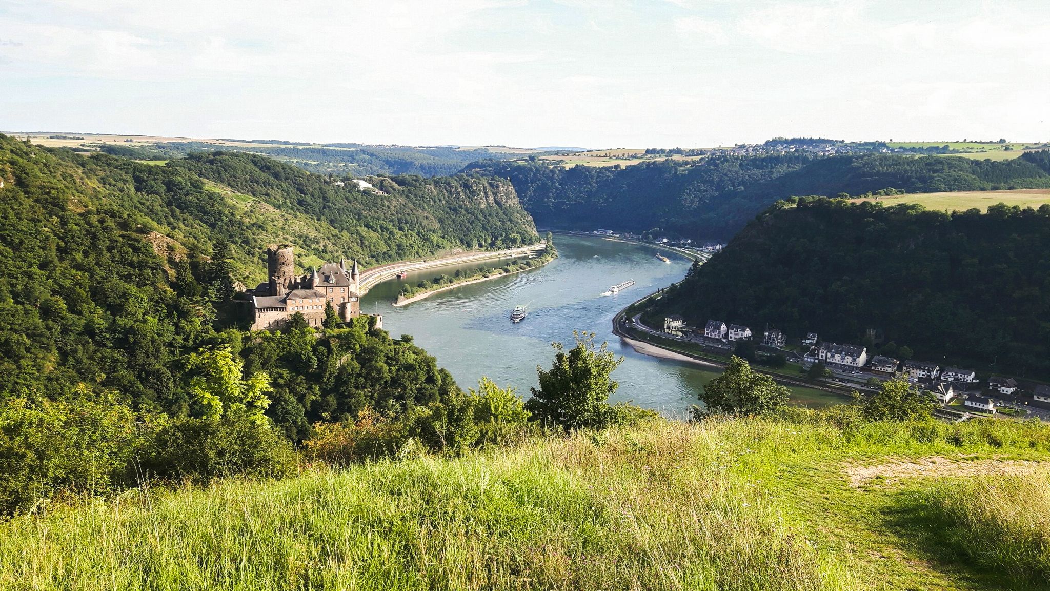
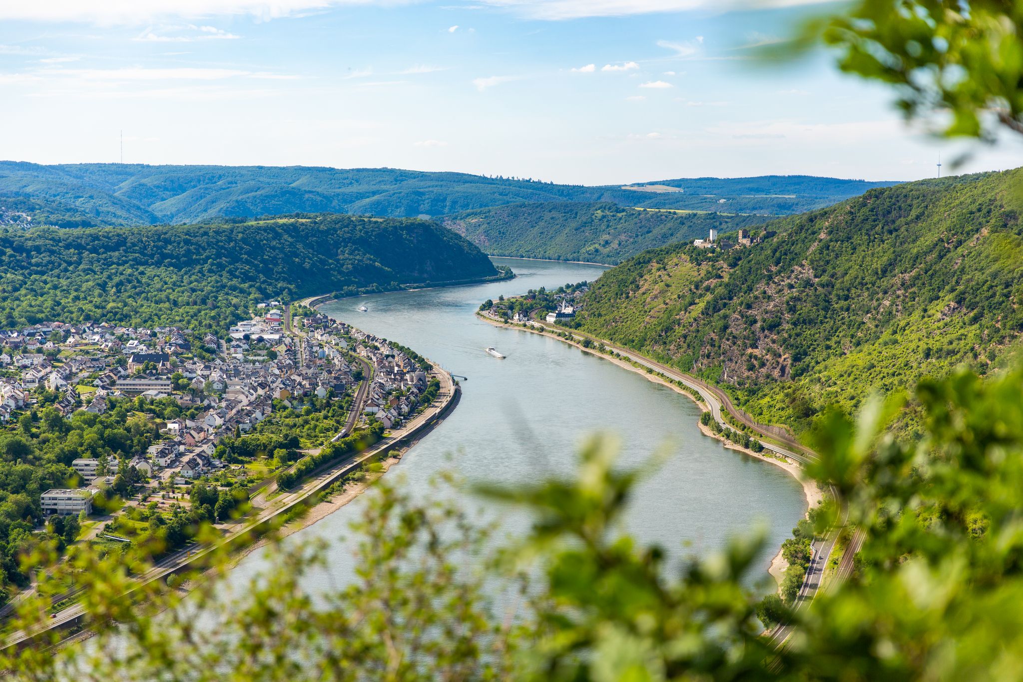
Super view into the Rhine Valley
0
0

The old bridge and the church in the background - a really nice photo motif.
0
0
The bridge with the church in the background is really a beautiful motif.
0
0

At the spot below by the road, the very steep ascent begins on a path up to the Marienfels cliff next to the barbecue hut and the Lümmelbank (65 meters of altitude gain over 265 meters of distance). On the way, at a fork directly after a right turn, choose the right path upwards. The upper part of the ascent is secured by a (stable as of 06.06.2026) wooden railing at the precipice. Those who prefer to skip this steep ascent can take the wide path a bit further to the right along the road past the cemetery, then turn right into the forest and relatively far up, turn right again to the barbecue hut.
0
0
Start at the Zapp in Emmelshausen
0
0
A good opportunity to take a break
0
0
Start or end point in Emmelshausen
0
0

From here it is easy to see why the Romans chose the hill near Pohl as the location for the small fort.
0
0
Frequently Asked Questions
How many no-traffic road cycling routes are available around Kamp-Bornhofen?
There are 7 dedicated no-traffic road cycling routes around Kamp-Bornhofen, offering a variety of distances and elevations for cyclists looking to explore the region without vehicle interference.
What is the typical difficulty level for no-traffic road cycling routes in this area?
Most of the no-traffic road cycling routes around Kamp-Bornhofen are rated as moderate, with 6 out of 7 routes falling into this category. There is also 1 route considered difficult for those seeking a greater challenge. These routes often feature winding roads through a hilly landscape, providing scenic climbs and descents.
Are there any long-distance no-traffic road cycling routes near Kamp-Bornhofen?
Yes, you can find several longer no-traffic routes. For instance, the Schinderhannes Cycle Path – Pfalzfeld Railway Station loop from Ehr covers nearly 60 km with over 500 meters of elevation gain. Another option is the Pfalzfeld Railway Station – Gleis 3 Café & Restaurant loop from Emmelshausen, which is about 48 km long.
What kind of landmarks and natural features can I expect to see along these routes?
The region is rich in natural beauty and historical sites. You might encounter impressive natural gorges like the Rupperts Gorge or the Ehrbachklamm Gorge. Historical castles such as Marksburg, Liebenstein, and Sterrenberg are prominent features, offering breathtaking views of the Rhine Valley. The picturesque vineyards and the majestic Rhine River itself are constant companions on many rides, with the dramatic View of the Loreley Rock being a significant attraction.
What is the best time of year for no-traffic road cycling in Kamp-Bornhofen?
The Middle Rhine Valley, including Kamp-Bornhofen, is generally best for road cycling during the spring, summer, and autumn months. These seasons offer pleasant temperatures and vibrant landscapes, from blooming vineyards to colorful fall foliage, making for an enjoyable cycling experience. Winter cycling might be possible but conditions can be more challenging.
Are there any circular no-traffic road cycling routes available?
Yes, many of the no-traffic road cycling routes around Kamp-Bornhofen are designed as loops. For example, the View of the Marksburg – Braubach Old Town loop from Braubach offers a challenging 55 km circular ride with over 1000 meters of elevation, allowing you to start and finish at the same point.
What do other road cyclists enjoy most about the no-traffic routes in Kamp-Bornhofen?
The no-traffic road cycling routes in Kamp-Bornhofen are highly regarded by the komoot community, with an average rating of 4.5 out of 5 stars from over 500 reviews. Cyclists frequently praise the quiet, scenic roads that wind through the hilly landscape, the stunning views of the Rhine and surrounding castles, and the opportunity to cycle through vineyards away from main roads.
Are there any cafes or restaurants along the no-traffic road cycling routes for a break?
While specific cafes directly on every no-traffic route are not guaranteed, the routes often pass through or near towns and villages where you can find places to refuel. For example, the Pfalzfeld Railway Station – Gleis 3 Café & Restaurant loop from Emmelshausen explicitly mentions a café in its name, suggesting convenient stops are available in the wider region.
Can I find routes suitable for beginners or those looking for an easier ride?
While most routes are moderate, the region offers options that can be adapted for varying fitness levels. For a slightly shorter, moderate option, consider the St. Mary’s Church, Marienfels – Limes Fort Pohl loop from Geisig, which is about 25 km long with just over 300 meters of elevation gain. The Rhine Cycle Route, which passes through Kamp-Bornhofen, also offers generally flatter sections suitable for more relaxed rides.
Are there any viewpoints along the no-traffic road cycling routes?
Yes, the hilly terrain and strategic locations of castles and natural features provide numerous viewpoints. You can find highlights such as the Wackenberghütte Viewpoint, offering views of St. Goar and Rheinfels Castle, and the Uhuley Viewpoint. Many routes naturally offer expansive views over the Rhine Valley and its forests.
Is public transport accessible for cyclists in Kamp-Bornhofen?
Kamp-Bornhofen is situated in the UNESCO World Heritage Upper Middle Rhine Valley, a well-developed tourist region. Public transport, including regional trains that often accommodate bicycles, runs along the Rhine. This can be useful for reaching starting points of routes or for returning after a one-way ride, especially if you're exploring sections of the Rhine Cycle Route.
Most popular routes around Kamp-Bornhofen
Most popular attractions around Kamp-Bornhofen

Get inspired with the komoot mobile app


Explore more
Browse the best Road cycling routes in other regions.
