The best traffic-free bike rides around Weyer
4.5
(243)
1,959
riders
4
rides
Road cycling around Weyer offers a network of no traffic routes through a landscape characterized by rolling hills, open fields, and forested sections. The region features varied terrain suitable for road bikes, with routes that include both gradual ascents and descents. Cyclists can explore areas with historical landmarks and rural scenery, providing diverse backdrops for rides. The routes are designed to keep cyclists away from heavy vehicle traffic, focusing on quieter roads and dedicated paths.
Best no traffic road cycling…
Last updated: September 30, 2026
3.0
(1)
13
riders
25.3km
01:11
210m
210m
Moderate road ride. Great for any fitness level. Some segments of this route may be unpaved and difficult to ride.
3
riders
25.1km
01:16
300m
300m
Moderate road ride. Great for any fitness level. Some segments of this route may be unpaved and difficult to ride.

5
riders
33.1km
01:43
550m
540m
Moderate road ride. Good fitness required. Mostly well-paved surfaces and easy to ride.
1
riders
54.7km
02:48
860m
870m
Moderate road ride. Good fitness required. Some segments of this route may be unpaved and difficult to ride.
5.0
(1)
4
riders
17.3km
01:06
370m
370m
Moderate road ride. Good fitness required. Some segments of this route may be unpaved and difficult to ride.
Our route recommendations are based on thousands of hikes, rides, and runs completed by other people on komoot.
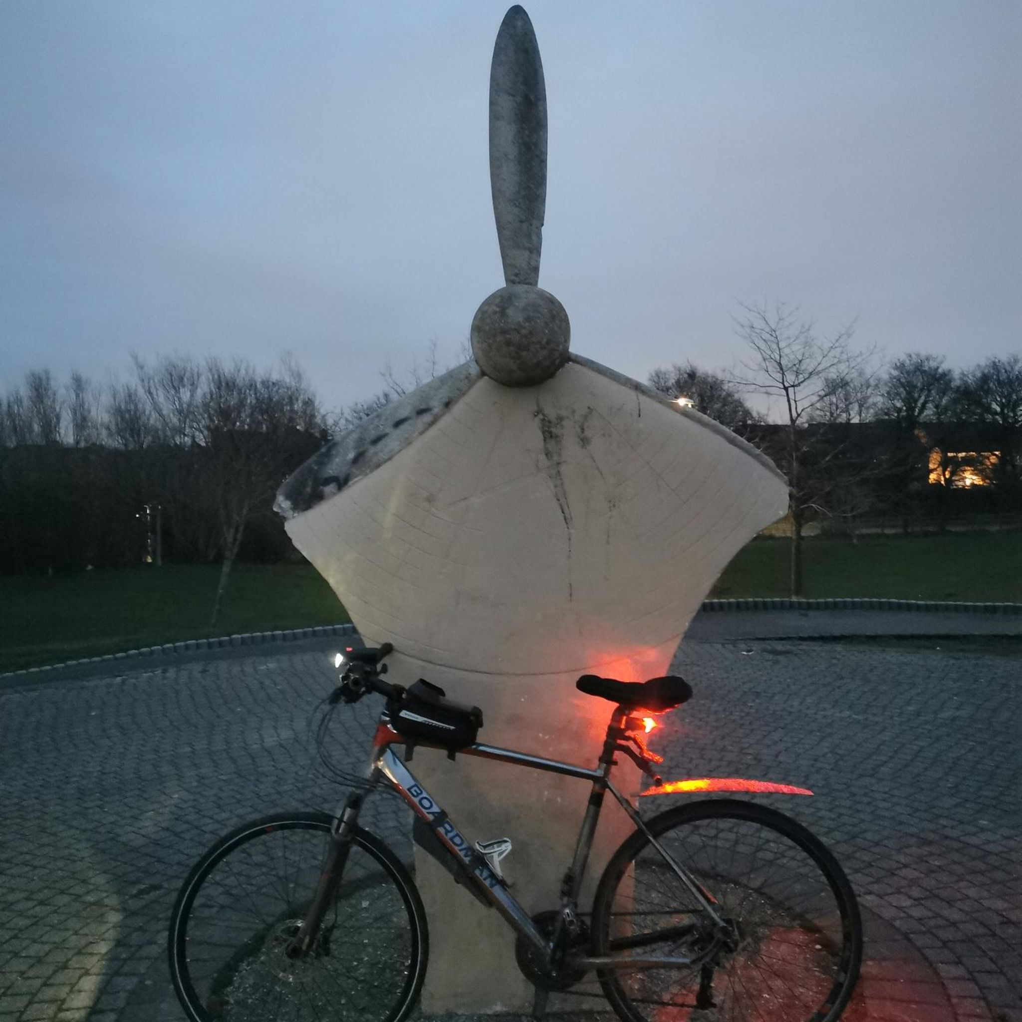
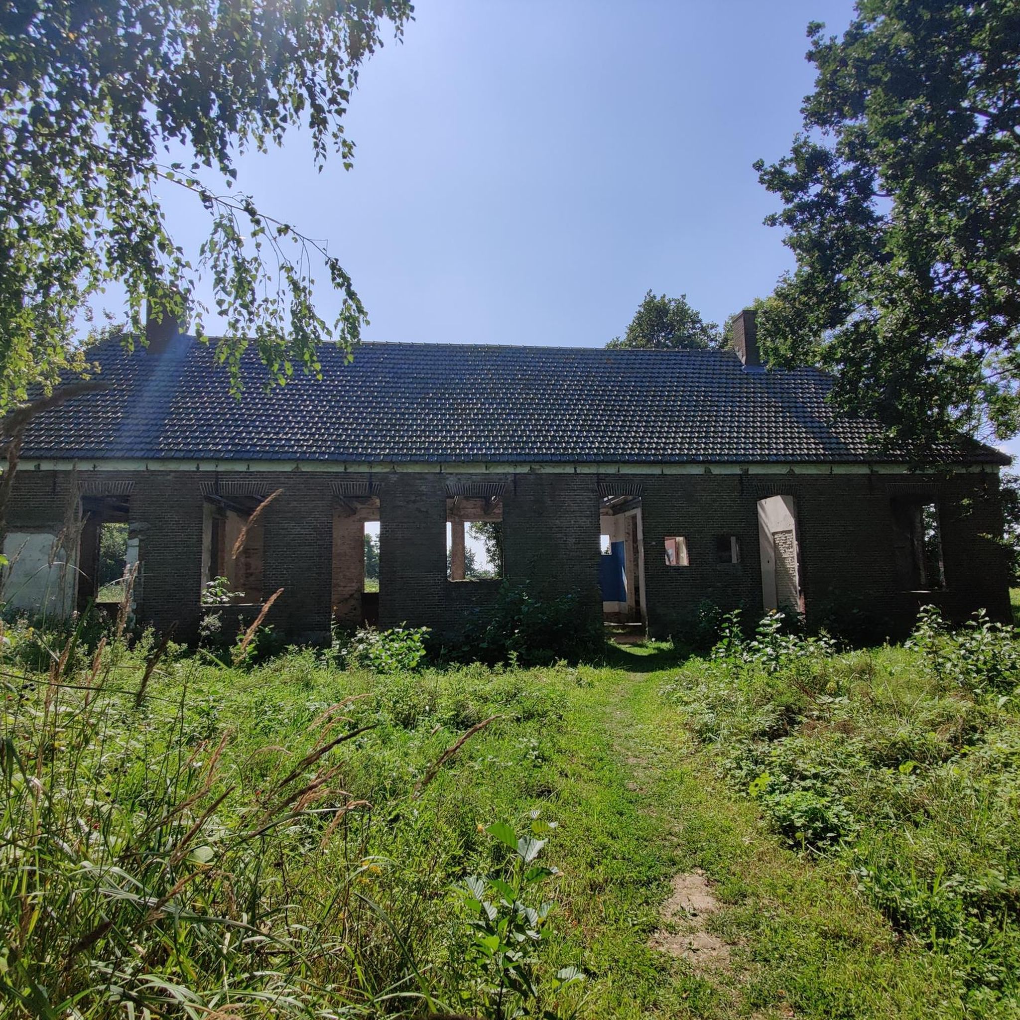
Tips from the Community

The old bridge and the church in the background - a really nice photo motif.
0
0
The bridge with the church in the background is really a beautiful motif.
0
0

Very important and definitely worth seeing
0
0

At the spot below by the road, the very steep ascent begins on a path up to the Marienfels cliff next to the barbecue hut and the Lümmelbank (65 meters of altitude gain over 265 meters of distance). On the way, at a fork directly after a right turn, choose the right path upwards. The upper part of the ascent is secured by a (stable as of 06.06.2026) wooden railing at the precipice. Those who prefer to skip this steep ascent can take the wide path a bit further to the right along the road past the cemetery, then turn right into the forest and relatively far up, turn right again to the barbecue hut.
0
0

@ Oli: In your photo, the tower with the lamp looks totally like a cross. Brilliant!
0
0
Oberwesel was under the rule of the Archbishop of Trier for half a millennium and remained almost entirely Catholic. Thus, it has two beautiful Catholic churches, a handful of chapels, a Stations of the Cross, and the unspeakable anti-Semitic chapel for the false Saint Werner. The Protestant church only emerged around 1900 and outside the city walls. Not a beauty, but a sign of life for the second denomination. The neighboring Bacharach benefited from becoming Protestant under the Counts Palatine. Thus, it could more easily free itself from the gruesome Werner cult.
1
0
The Stations of the Cross to the Kalvarienberg begin at this chapel.
1
0
A catastrophe for property-owning Christians and Jews was the Children's Crusade of 1212 with its wild plunderings. Oberwesel was still lucky, as the hordes passed by, through the Eifel and then on to Mainz and Worms. Nevertheless, the construction of the town wall was hurried, and in 1237 Oberwesel became an imperial free city, i.e., tax-free. Five years later, the Franciscans built a magnificent monastery. Oberwesel was at the peak of its importance. But just 50 years later, the Franciscans incited hatred against the local Jews. An invented ritual murder triggered looting and murder of the Jewish population in 1287. But how did the supposedly poor-friendly Minorites come to such hatred? So that some inhabitants could get rid of their debts to Jews? The monument should also remind of this shame of Christendom, the Jews who were murdered by Nazis six hundred years later. Source: No copy, no AI, researched myself.
2
0
Frequently Asked Questions
How many no-traffic road cycling routes are available around Weyer?
There are 5 dedicated no-traffic road cycling routes around Weyer featured in this guide. These routes are specifically curated for a smooth, car-free experience on your road bike.
What is the typical terrain and elevation like on these routes?
The no-traffic road cycling routes around Weyer generally feature moderate difficulty with varied terrain. You can expect elevations ranging from approximately 200 meters to over 850 meters of ascent on individual tours. For example, the Reichenberg Castle – View of Bettendorf loop from Gemmerich includes about 850 meters of elevation gain, offering a good workout with rewarding views.
Are there any family-friendly no-traffic road cycling options in Weyer?
While all routes in this guide are rated as moderate, making them suitable for cyclists with some experience, the shorter loops might be more manageable for families with older children. For instance, the View from Marienfels – St. Mary’s Church, Marienfels loop from Nastätten is around 25 km long, offering a less strenuous option.
What kind of natural features and viewpoints can I expect along the routes?
The routes offer scenic views and pass through diverse landscapes. You can find stunning viewpoints such as the View of the Loreley Rock and the Felsenkanzel Viewpoint Overlooking the Rhine and the Loreley. The area is also home to natural monuments like the famous Lorelei Rock, providing picturesque backdrops for your ride.
Are there any cafes or pubs along the no-traffic road cycling routes in Weyer?
Yes, some routes offer opportunities to stop for refreshments. For example, the Pfalzfeld Railway Station – Gleis 3 Café & Restaurant loop from Niederburg specifically mentions a café and restaurant, providing a convenient stop during your ride.
What do other road cyclists enjoy most about cycling in Weyer?
The komoot community highly rates the road cycling experience around Weyer, with an average score of 4.5 stars. Cyclists often praise the well-maintained, traffic-free paths and the beautiful natural scenery, making for a peaceful and enjoyable ride.
Are there any historical landmarks or points of interest along these routes?
Yes, the routes often pass by interesting historical sites. For example, the St. Mary’s Church, Marienfels – Limes Fort Pohl loop from Geisig includes the historic Limes Fort Pohl, offering a glimpse into the region's past. You might also encounter other man-made monuments like the Loreley Statue on the Rhine.
What is the best time of year for traffic-free road biking in Weyer?
While specific weather patterns vary, spring through autumn generally offers the most pleasant conditions for road cycling in Weyer, with milder temperatures and less chance of snow or ice. This allows for comfortable exploration of the varied landscapes.
Are there any loop routes available for no-traffic road cycling?
All the no-traffic road cycling routes featured in this guide are designed as loops, allowing you to start and end your ride at the same point. This includes routes like the St. Mary’s Church, Marienfels – Weyer Ostrich Farm loop from Geisig, providing convenient circular journeys.
How long are the no-traffic road cycling routes around Weyer?
The routes vary in length, catering to different preferences. The shortest route, View from Marienfels – St. Mary’s Church, Marienfels loop from Nastätten, is approximately 25 km, while the longest, Reichenberg Castle – View of Bettendorf loop from Gemmerich, extends to about 52 km. This provides options for both shorter excursions and longer rides.
Is public transport accessible near the starting points of these routes?
While specific public transport connections to every starting point are not detailed, many routes begin near towns or villages which may have local bus or train services. It's advisable to check local public transport schedules for the specific starting location of your chosen route.
Most popular attractions around Weyer

Get inspired with the komoot mobile app


Explore more
Browse the best Road cycling routes in other regions.
