The best traffic-free bike rides around Gleißenberg
4.7
(177)
2,708
riders
73
rides
No traffic road cycling routes around Gleißenberg are set within a landscape characterized by rolling hills, green meadows, and dense forests at the foot of the Bavarian Forest. The region offers varied terrain, from gentle ascents to more challenging climbs, making it suitable for different skill levels. Numerous smaller, winding roads provide ideal conditions for road cyclists seeking routes away from main thoroughfares. This natural setting, with its picturesque valleys and scenic vistas, defines the road cycling experience in the…
Last updated: July 24, 2026
4.0
(2)
18
riders
Moderate road ride. Good fitness required. Mostly well-paved surfaces and easy to ride.
4.5
(2)
23
riders
Moderate road ride. Great for any fitness level. Some segments of this route may be unpaved and difficult to ride.

Sign up for free
5.0
(1)
16
riders
48.4km
02:17
530m
530m
Moderate road ride. Good fitness required. Mostly well-paved surfaces and easy to ride.
7
riders
41.8km
02:00
410m
410m
Moderate road ride. Good fitness required. Some segments of this route may be unpaved and difficult to ride.
5.0
(1)
9
riders
31.2km
01:49
760m
760m
Moderate road ride. Good fitness required. Mostly well-paved surfaces and easy to ride.
Get access to more routes and recommendations from other explorers.
Sign up for free
Already have an account?
Our route recommendations are based on thousands of hikes, rides, and runs completed by other people on komoot.
Start today with a free account
Your next adventure awaits.
Login or Signup
Popular around Gleißenberg

Tips from the Community

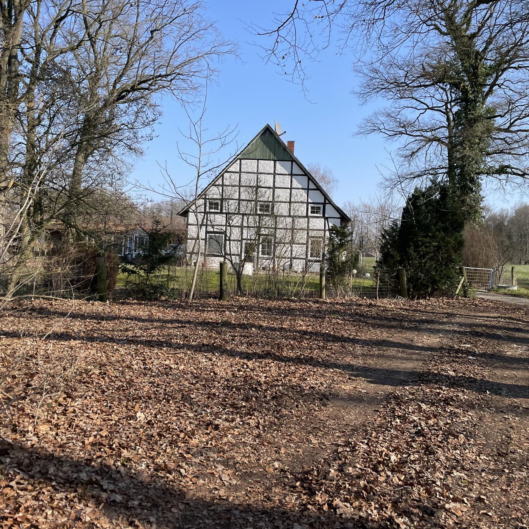
Bridge from 2022 over the Regen................
1
0
Beautifully located by the cycle path the chapel with a resting place
1
0


perfect cycle path between the border and Böhmerkreuz
0
0
great cycle path and at the same time a shortcut if you don't have to go to Schäferei
0
0
Frequently used bridge over the Regen
1
0
Beautiful new bridge with a good view
1
0
New bridge over the Regen. Everything's fine.
1
0
Frequently Asked Questions
How many no-traffic road cycling routes are available around Gleißenberg?
There are over 70 dedicated no-traffic road cycling routes around Gleißenberg, offering a wide range of options for cyclists looking to explore the region's picturesque landscapes without vehicle interference.
What are the difficulty levels of the no-traffic road cycling routes in Gleißenberg?
The routes around Gleißenberg cater to various skill levels. You'll find approximately 12 easy routes, 57 moderate routes, and 6 more challenging options. This variety ensures that both casual riders and experienced cyclists can find suitable no-traffic paths.
Are there any notable landmarks or scenic viewpoints along the no-traffic road cycling routes near Gleißenberg?
Yes, the Gleißenberg region is rich in natural beauty and interesting sights. While cycling, you might encounter paths leading to viewpoints like the Kreuzfelsen Summit (Gibacht), which offers excellent views over the Bavarian Forest. Another significant landmark is the Lighthouse of Humanity at Tannenriegel, a unique monument and scenic spot. For panoramic vistas, the Čerchov Observation Tower, though a challenging climb, provides breathtaking views extending to the Bavarian Forest and the Czech plain.
What kind of terrain can I expect on the no-traffic road cycling routes around Gleißenberg?
The no-traffic road cycling routes around Gleißenberg feature a diverse terrain, characterized by rolling hills, green meadows, and dense forests. You'll experience a mix of ascents and descents, providing varied challenges and scenic backdrops. The region's location at the foot of the Bavarian Forest ensures a picturesque and engaging cycling experience.
Are there any circular no-traffic road cycling routes available?
Yes, many of the no-traffic road cycling routes around Gleißenberg are designed as circular tours, allowing you to start and end at the same point. An example is the "Cham – Chapel Rest Area loop from Naturpark Oberer Bayerischer Wald", which offers a moderate ride through the scenic landscape.
What is the best time of year to enjoy no-traffic road cycling in Gleißenberg?
The best time for no-traffic road cycling in Gleißenberg is typically from spring through autumn. During these seasons, the weather is generally mild, and the natural scenery of the Bavarian Forest is at its most vibrant. Summer offers longer daylight hours, while spring and autumn provide cooler temperatures and beautiful foliage.
Are there any easy no-traffic road cycling routes suitable for beginners or families?
Yes, Gleißenberg offers several easy no-traffic road cycling routes perfect for beginners or families looking for a relaxed ride. These routes typically feature less elevation gain and shorter distances, allowing for a comfortable and enjoyable experience amidst the region's natural beauty.
Where can I find parking for no-traffic road cycling routes in Gleißenberg?
Parking options are generally available in and around Gleißenberg, particularly near trailheads or in the villages that serve as starting points for many routes. It's advisable to check specific route descriptions on komoot for recommended parking locations, as many tours start from accessible points like Waldmünchen or Grub (Oberpf).
Can I access no-traffic road cycling routes in Gleißenberg using public transport?
While Gleißenberg is nestled in a natural setting, some routes may be accessible via public transport connections to nearby towns. For specific routes, it's recommended to check local bus or train schedules to see if they align with your desired starting points. Many routes begin from larger towns like Cham or Waldmünchen, which often have better public transport links.
What do other road cyclists enjoy most about no-traffic road cycling in Gleißenberg?
The no-traffic road cycling routes around Gleißenberg are highly rated by the komoot community, with an average score of 4.69 stars. Reviewers often praise the tranquility of the smaller, winding roads, the stunning natural scenery of the Bavarian Forest, and the diverse terrain that offers both leisurely rides and challenging climbs away from main roads.
Are there any challenging no-traffic road cycling routes for advanced cyclists?
Absolutely. For advanced cyclists seeking a challenge, Gleißenberg offers routes with significant elevation gain and longer distances. An example is the "Dachsriegel Summit (800 m) – Ascent to Dachsriegel loop from Waldmünchen", which features over 750 meters of ascent over 31 km, providing a demanding yet rewarding experience on car-free roads.
Most popular routes around Gleißenberg
Most popular attractions around Gleißenberg

Get inspired with the komoot mobile app


Explore more
Browse the best Road cycling routes in other regions.
