The best hikes from bus stations around Großlittgen
4.6
(13743)
46,021
hikers
40
hikes
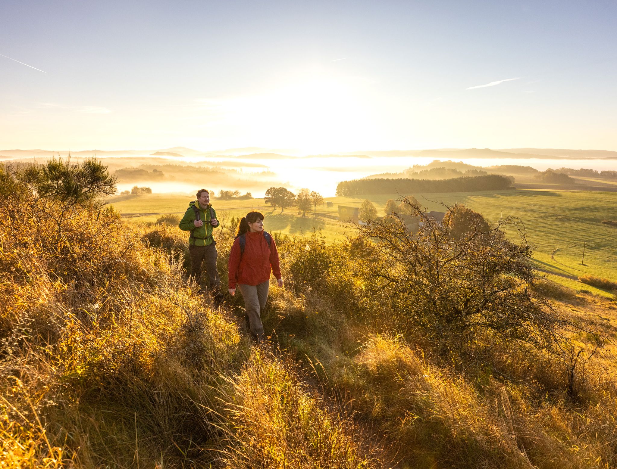
Bus station hiking trails around Großlittgen, located in Germany's Eifel region, traverse a landscape of rolling hills, expansive fields, and dense forests, offering varied terrain for outdoor activities. The area is characterized by the Lieser stream and Salm meadows, providing natural beauty along many routes. Hikers can also find views of the Moselle valley and experience the Eifel's unique geological formations. This region provides a mix of natural paths and diverse scenery for exploration.
Best bus station hiking trails around…
Last updated: October 28, 2026
4.7
(43)
135
hikers
6.65km
01:49
100m
100m
Easy hike. Easily walkable paths.
4.7
(42)
136
hikers
6.53km
01:47
100m
100m
Easy hike. Easily walkable paths.

4.9
(36)
123
hikers
9.68km
02:41
180m
180m
Moderate hike. Good fitness required. Easily walkable paths.
4.8
(6)
19
hikers
27.3km
07:35
480m
480m
Hard hike. Very good fitness required. Mostly walkable paths. Sure-footedness required.
3.5
(8)
26
hikers
8.00km
02:15
150m
150m
Moderate hike. Good fitness required. Easily walkable paths.
Get access to more routes and recommendations from other explorers.
Already have an account?
Our route recommendations are based on thousands of hikes, rides, and runs completed by other people on komoot.
Other adventures around Großlittgen

Tips from the Community

Beautiful path along the Lieser.
1
0

Very beautiful hiking trail along the Salm... everything is still very natural.
0
0

small hiking parking lot at a country road bridge over the Lieser
1
0

Places like this always make me very thoughtful and I hope that the death of these soldiers is enough of a warning.
1
0
Beautiful views are guaranteed on this stretch
0
0

The Eifel spacious and healthy.
0
0
Always open for coffee and cake.
2
0
Frequently Asked Questions
How many bus-accessible hiking trails are there around Großlittgen?
There are over 35 hiking trails around Großlittgen that are easily accessible by bus, offering a variety of experiences for all skill levels.
What is the best time of year for hiking from Großlittgen bus stations?
Spring and autumn are considered the best seasons for hiking in Großlittgen. The landscape is particularly vibrant, and the weather is pleasantly mild, making for ideal conditions to explore the Eifel region's natural beauty.
Are there easy hiking options accessible by bus in Großlittgen?
Yes, there are 13 easy hiking routes available from bus stations around Großlittgen. A great option is the Himmerod Abbey Church – Himmerod Abbey loop from Großlittgen, which is just over 6.5 km long and offers a gentle introduction to the area's scenery.
What do other hikers say about the trails around Großlittgen?
The hiking trails around Großlittgen are highly rated by the komoot community, with an average score of 4.6 stars from over 11,600 ratings. Hikers often praise the tranquility, the high proportion of natural paths, and the varied scenery, especially the forested sections that provide shade even on warmer days.
Can I find circular hiking routes starting from Großlittgen bus stops?
Absolutely. Many trails accessible by bus are circular, allowing you to return to your starting point without needing additional transport. For example, the Lieser River – Lieserpfad River Valley loop from Großlittgen is a moderate 7.9 km circular route that follows the picturesque Lieser stream.
Are there routes that pass by historical sites or cultural landmarks?
Yes, several routes incorporate historical and cultural points of interest. The impressive 12th-century Himmerod Monastery is a significant landmark along many trails, including the Eifelsteig Stage 13. You can explore it on routes like the Mühlenweg Along the Salm River – Himmerod Abbey loop from Klosterkirche.
Are there any trails suitable for families with children?
The region offers family-friendly options, including an adventure trail in a nearby forest designed for children to playfully explore nature. While specific bus-accessible family routes aren't detailed, the numerous easy trails provide gentle terrain suitable for families.
What kind of natural landscapes can I expect to see on these bus-accessible trails?
The trails around Großlittgen showcase the diverse Eifel landscape, featuring rolling hills, expansive fields, and dense forests. You'll encounter natural highlights like the Lieserpark nature reserve, the picturesque Salm meadows, and the winding Lieser stream. Some routes also offer views towards the Moselle valley and its vineyards.
Are there viewpoints or scenic spots along the bus-accessible trails?
Yes, the region is known for its scenic vistas. The "Kleiner Kahlenberg" vantage point offers breathtaking panoramic views stretching towards the Moselle. Additionally, you might encounter unique geological formations, such as the Windsborn Crater summit, which provides stunning views of the volcanic Eifel landscape.
Are there any longer, more challenging routes available from bus stations?
For those seeking a challenge, there are 5 difficult routes accessible by bus. An example is the Himmerod Abbey – Himmerod Abbey loop from Klosterkirche, a demanding 27.4 km hike with significant elevation changes, offering a rewarding experience for experienced hikers.
Is it possible to find trails that follow rivers or streams?
Yes, the area is rich with water features. The Lieserpfad, recognized as one of Germany's most beautiful hiking routes, follows the Lieser stream, offering tranquility and natural beauty. The Lieser River – Lieserpfad River Valley loop from Großlittgen is a great example of a bus-accessible route that traces the river.
Are there trails that explore the unique volcanic features of the Eifel?
While Großlittgen itself is not directly on a major volcanic maar, the broader Eifel region is famous for its volcanic geology. Some trails, like those leading to the Windsborn Crater summit or near the Meerfelder Maar, allow you to experience these unique natural formations, often accessible via public transport connections to nearby towns.
Most popular routes around Großlittgen
Most popular attractions around Großlittgen

Get inspired with the komoot mobile app


Explore more
Browse the best Hikes in other regions.
