The best hikes from bus stations around Oberharz am Brocken
4.5
(26881)
90,790
hikers
460
hikes
Bus station hiking trails around Oberharz am Brocken traverse the Harz Mountains, a region characterized by dense spruce, deciduous, and mixed forests. The landscape features numerous lakes, ponds, and impressive dams, such as the Rappbode Dam, alongside the romantic Ilsetal Valley with its cascades. A significant portion of the area lies within the Harz National Park, offering diverse ecosystems including well-preserved moors and striking rock formations. This varied terrain provides a wide range of hiking opportunities accessible by public transport.
Best bus station hiking trails around Oberharz am Brocken
- The most popular bus station hiking route is Rappbode Forebay – View of the Rappbode Riverbank loop from Trautenstein, a 5.6 miles (9.0 km) trail that takes 2 hours 24 minutes to complete. This moderate route offers views of the Rappbode Forebay and riverbanks.
- Another top favourite among local hikers is Royal castle ruins (HWN 41) – Trogfurther Bridge (HWN 42) loop from Bockberg, a moderate 5.6 miles (9.0 km) path. This route passes by historical sites including castle ruins and a notable bridge.
- Local hikers also love the View of Hasselvorsperre – Hasselvorsperre Dam (HWN 53) loop from Stadt Hasselfelde, a 4.5 miles (7.3 km) trail leading through varied terrain around the Hasselvorsperre Dam, often completed in about 1 hour 56 minutes.
- Hiking around Oberharz am Brocken is defined by dense forests, dam landscapes, and the unique ecosystems of the Harz National Park. The network of bus station hiking trails offers options for different ability levels, from easy strolls to more demanding ascents.
- The routes in Oberharz am Brocken are highly rated by the komoot community with an average score of 4.5 stars from over 22,000 reviews. More than 84,000 hikers have used komoot to explore Oberharz am Brocken's varied terrain.
Last updated: October 1, 2026
4.7
(645)
1,901
hikers
8.95km
02:24
110m
110m
Moderate hike. Good fitness required. Easily-accessible paths. Suitable for all skill levels.
4.6
(1209)
3,724
hikers
Moderate hike. Good fitness required. Mostly accessible paths. Sure-footedness required.

4.4
(474)
1,547
hikers
6.13km
01:47
150m
150m
Easy hike. Great for any fitness level. Easily-accessible paths. Suitable for all skill levels.
4.7
(906)
2,553
hikers
Moderate hike. Good fitness required. Easily-accessible paths. Suitable for all skill levels.
4.7
(785)
2,083
hikers
Hard hike. Very good fitness required. Sure-footedness, sturdy shoes and alpine experience required.
Get access to more routes and recommendations from other explorers.
Already have an account?
Our route recommendations are based on thousands of hikes, rides, and runs completed by other people on komoot.
Start today with a free account
Your next adventure awaits.
Popular around Oberharz am Brocken
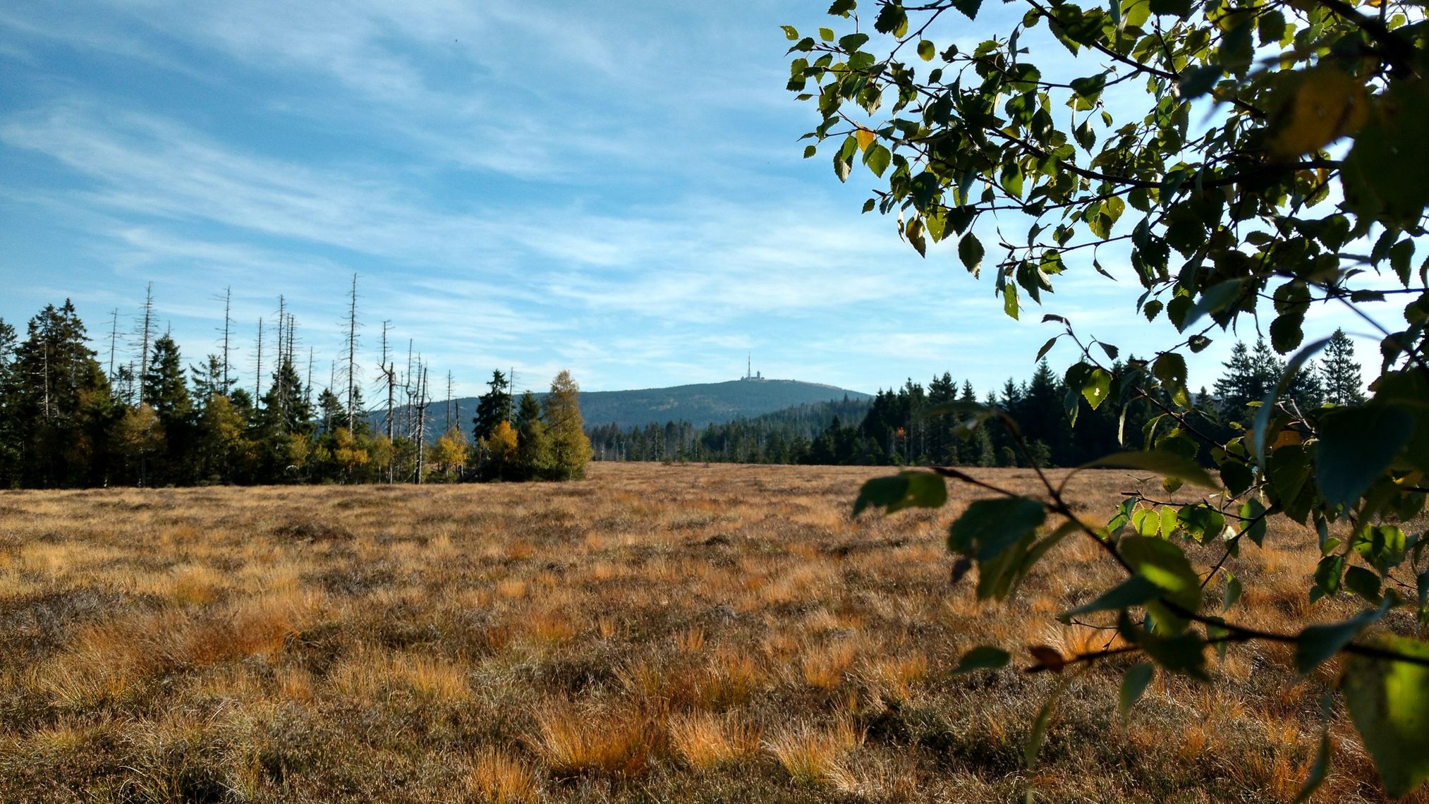
Harz Witches' Trail – A magical journey through Germany
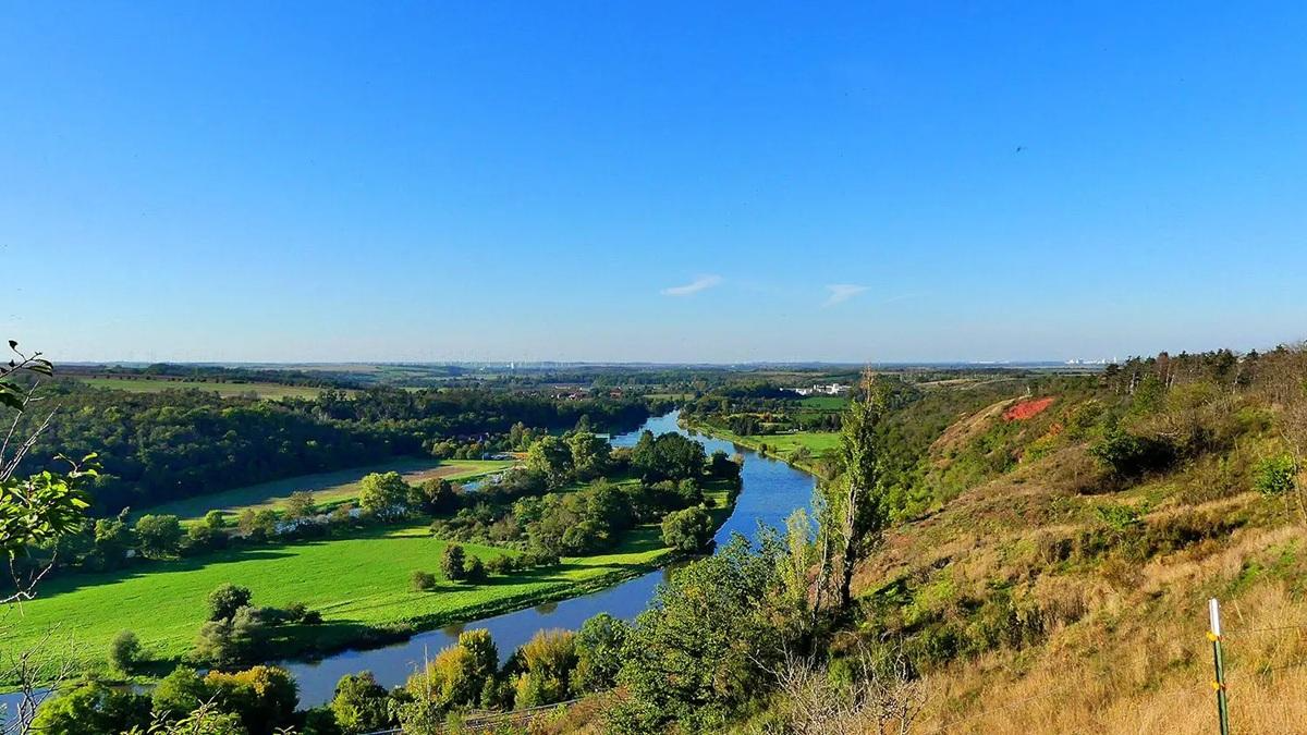
The National Natural Landscapes in Saxony-Anhalt
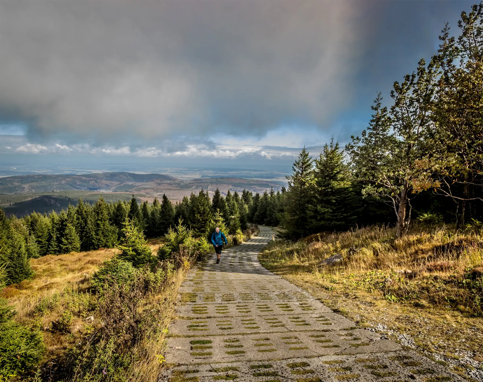
Reunited mountains – hiking along the Harz Border Trail
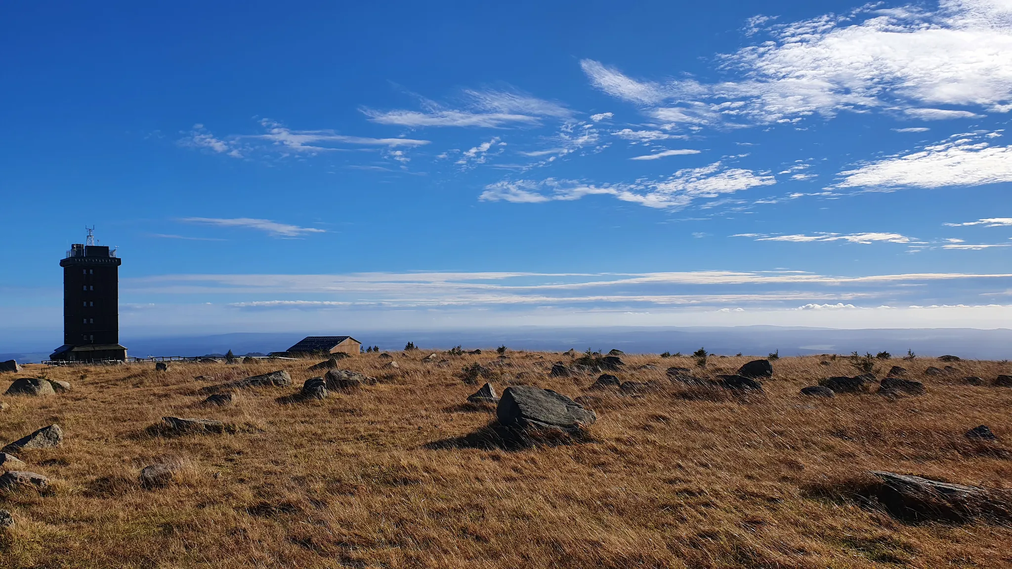
On mystical paths over the Brocken – Germany’s Harz Devil's Path
Discover the Green Belt in the Harz Mountains with BUND
Hike the magical mountain world of the eastern Harz Mountains – Selketalstieg
My 25 most beautiful Highlights in the Harz
Reunited mountains – hiking along the Harz Border Trail

Discover the nature along the “Greenbelt” together with the BUND
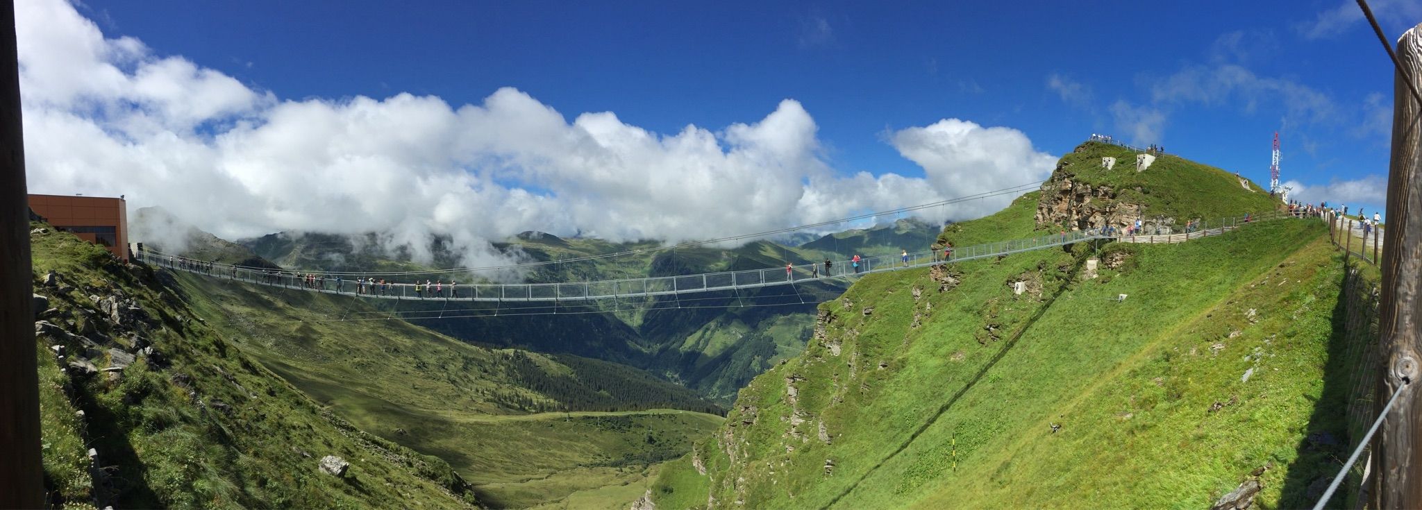
Spectacular suspension bridges
Other adventures around Oberharz am Brocken


Tips from the Community

Definitely worth a trip.
0
0
Both high, reservoir and suspension bridge,
0
0
Entrance to the always slightly swaying bridge.
0
0

the dilapidated bridge is closed, but a path next to the bridge also leads over the stream
0
0

At the upper path, the footbridge is closed, but you can get across via a temporary bridge/footbridge! So don't take the detour! We got through without problems in good dry weather, in rain or wet weather it could be slippery, walk carefully!
0
0

Invites for a short break
2
0

For me, a very beautiful tour in the Upper Harz Mountains; narrow paths, top views, and the Scandinavian fjord feeling make the tour special.
4
0
Frequently Asked Questions
How many bus station hiking trails are available in Oberharz am Brocken?
There are over 400 hiking trails around Oberharz am Brocken that are accessible from bus stations. This extensive network ensures a wide variety of options for all preferences and fitness levels.
Are there easy bus-accessible hiking trails for beginners or those seeking a relaxed walk?
Yes, Oberharz am Brocken offers many easy bus-accessible trails. For instance, the View of Hasselvorsperre – Hasselvorsperre Dam (HWN 53) loop from Stadt Hasselfelde is an easy 7.3 km route, perfect for a leisurely outing. The region has over 150 easy routes to choose from.
Can I find circular hiking routes that start and end at a bus stop?
Absolutely. Many of the bus-accessible trails in Oberharz am Brocken are designed as circular routes, allowing you to return to your starting point without needing additional transport. An example is the Rappbode Forebay – View of the Rappbode Riverbank loop from Trautenstein, a moderate 9 km loop.
What kind of natural attractions can I expect to see along these bus-accessible routes?
The bus-accessible trails often lead through diverse landscapes with impressive natural features. You might encounter stunning waterfalls like the Lower Ilse Falls or the Upper Ilse Falls, explore unique rock formations, or enjoy panoramic views from points like the Brocken Summit. The region is also home to the Harz National Park, with its ancient forests and moors.
Are there any historical or cultural landmarks accessible from bus station trails?
Yes, several routes pass by significant historical sites. For example, the Royal castle ruins (HWN 41) – Trogfurther Bridge (HWN 42) loop from Bockberg takes you through historical areas. You can also find interesting caves like the Large sand caves (HWN 81) or the Volkmarskeller (HWN 87), which are often part of longer routes.
Are dogs allowed on the bus station hiking trails in Oberharz am Brocken?
Generally, dogs are welcome on most hiking trails in Oberharz am Brocken, provided they are kept on a leash, especially within the Harz National Park and near wildlife. Always check local signage for specific restrictions, particularly in protected areas or during certain seasons.
Are there any family-friendly or stroller-accessible routes from bus stations?
Yes, the region offers options suitable for families. The Bergwiesen-Lehrpfad (Mountain Meadow Nature Trail) near Benneckenstein is known for being family-friendly and stroller-accessible. While specific bus-accessible routes for strollers might require checking individual trail details, many easy paths are suitable for families with older children.
What do other hikers enjoy most about hiking in Oberharz am Brocken?
The area is highly rated by the komoot community, with an average score of 4.5 stars. Reviewers often praise the diverse landscapes, from dense forests to impressive dams like the Rappbode, and the well-maintained, clearly signposted paths that make navigation easy. The accessibility via public transport is also frequently highlighted as a major benefit.
Can I find longer, more challenging bus-accessible hikes in the area?
For those seeking a greater challenge, Oberharz am Brocken has moderate to difficult routes accessible by bus. An example is the Stemberghaus Charcoal Works (HWN 60) – Rappbode Dam loop from Harzköhlerei Stemberghaus, a moderate 15.5 km hike with significant elevation changes. The region features over 200 moderate and 50 difficult routes.
Are there specific bus routes that serve popular trailheads?
Oberharz am Brocken has a well-developed public transport network that connects various towns and villages, providing access to numerous trailheads. It's advisable to check the local bus schedules for specific routes to popular starting points like Elbingerode, Hasselfelde, or Trautenstein, depending on your chosen hike.
What is the best time of year to go hiking from bus stations in Oberharz am Brocken?
The Harz Mountains offer distinct experiences throughout the year. Spring and autumn provide pleasant temperatures and beautiful scenery with blooming flowers or vibrant foliage. Summer is ideal for longer days and warmer weather, while winter transforms the landscape into a snowy wonderland, though some trails may require appropriate gear or be less accessible. Always check weather conditions before heading out.
Most popular routes around Oberharz am Brocken
Most popular attractions around Oberharz am Brocken

Get inspired with the komoot mobile app


Explore more
Browse the best Hikes in other regions.
