The best hikes from bus stations around Dömitz
4.6
(1061)
3,910
hikers
50
hikes
Bus station hiking trails around Dömitz offer access to the UNESCO Biosphere Reserve Elbe River Landscape Mecklenburg-Western Pomerania. The region is characterized by the Elbe River, extensive floodplain forests, and marshlands. A notable feature is the Klein Schmölen Inland Dune system, providing elevated views over the surrounding lowlands. This diverse landscape offers a range of natural environments for outdoor exploration.
Best bus station hiking trails around Dömitz
- The most popular bus station hiking route is Schmölener Brack – View of…
Last updated: July 11, 2026
5.0
(11)
34
hikers
22.3km
05:39
40m
40m
Hard hike. Very good fitness required. Easily-accessible paths. Suitable for all skill levels.
4.3
(14)
41
hikers
8.00km
02:02
20m
20m
Moderate hike. Good fitness required. Easily-accessible paths. Suitable for all skill levels.

Sign up for free
4.6
(14)
34
hikers
Moderate hike. Good fitness required. Easily-accessible paths. Suitable for all skill levels.
3.0
(1)
19
hikers
Moderate hike. Good fitness required. Easily-accessible paths. Suitable for all skill levels.
6
hikers
Easy hike. Great for any fitness level. Easily-accessible paths. Suitable for all skill levels.
Get access to more routes and recommendations from other explorers.
Sign up for free
Already have an account?
Our route recommendations are based on thousands of hikes, rides, and runs completed by other people on komoot.
Start today with a free account
Your next adventure awaits.
Login or Signup
Popular around Dömitz
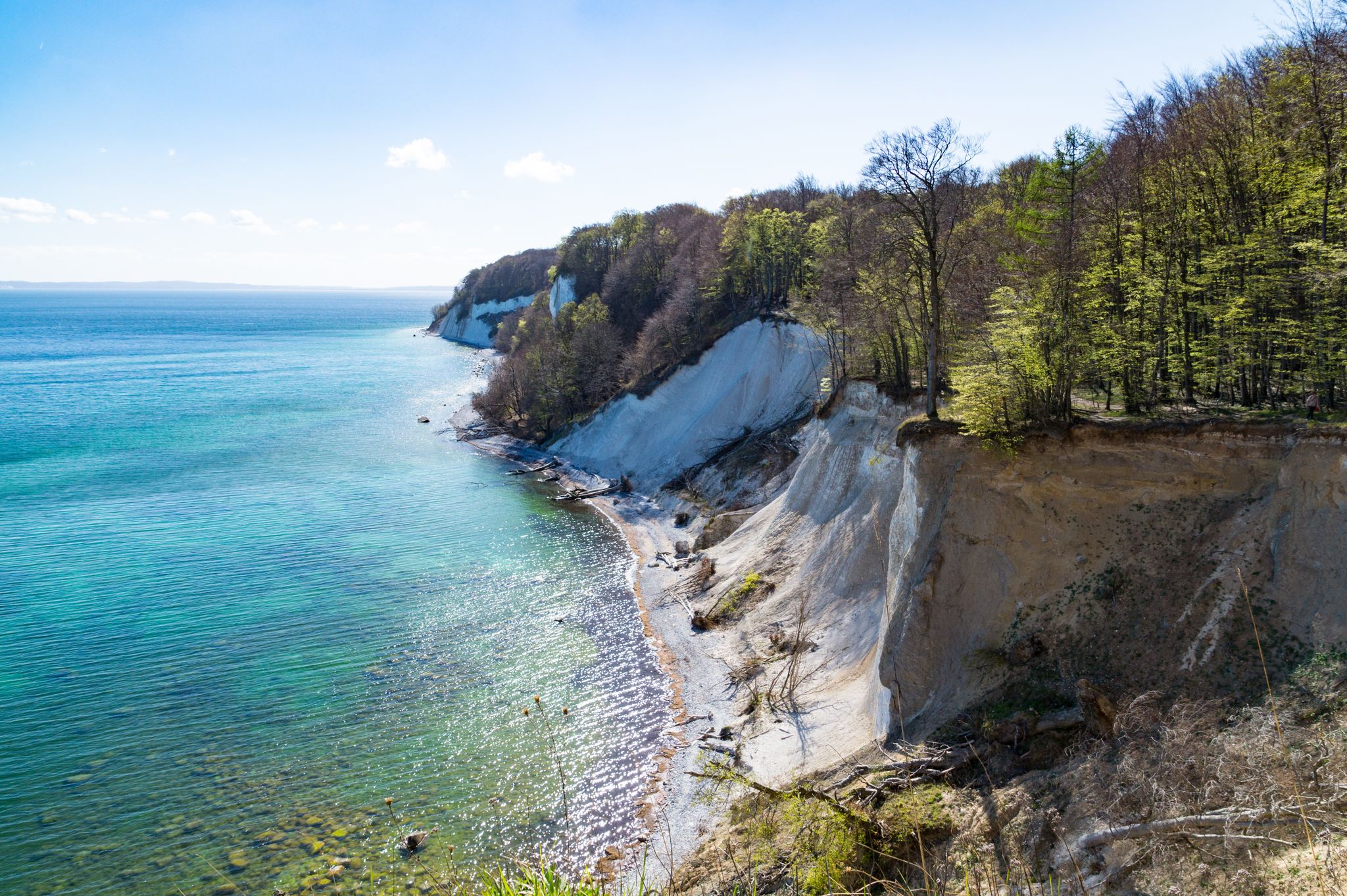
The National Natural Landscapes in Mecklenburg-Vorpommern
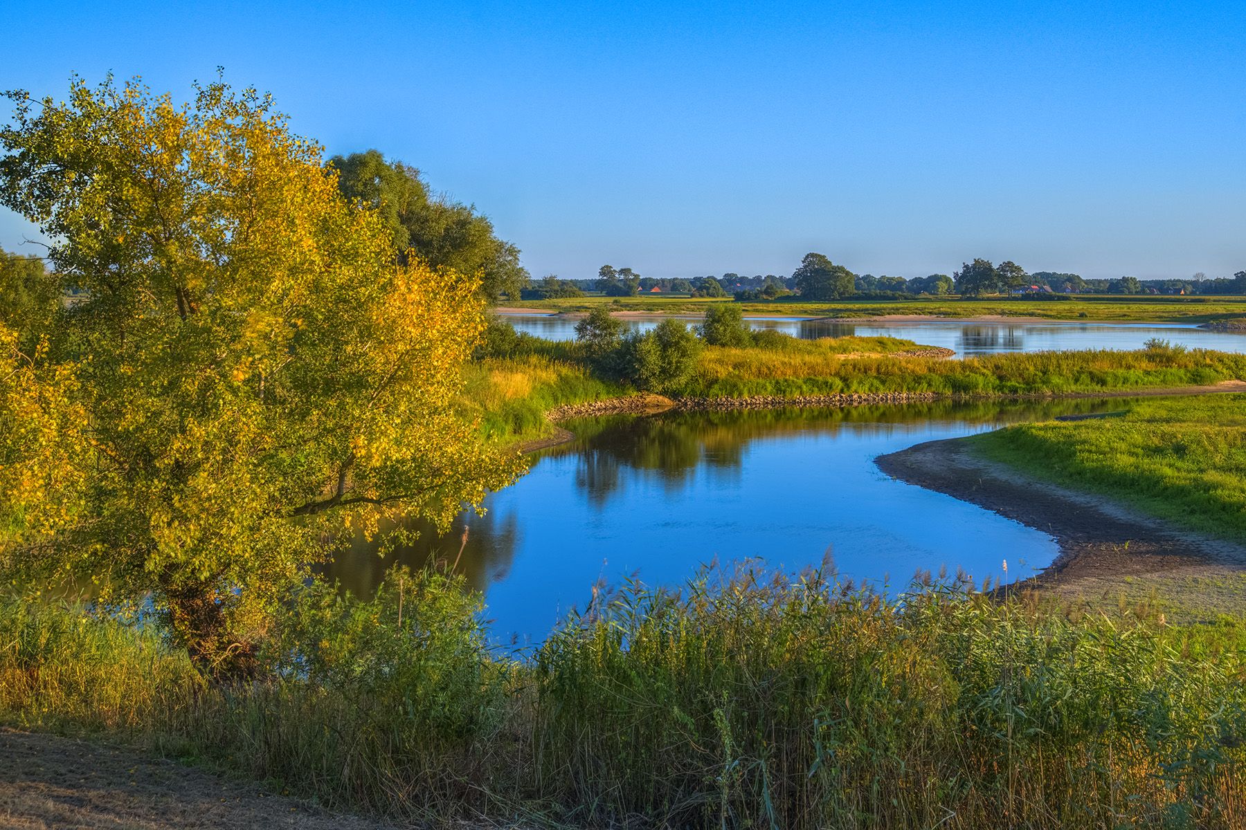
Discover the Green Belt in the Elbe-Altmark-Wendland with BUND
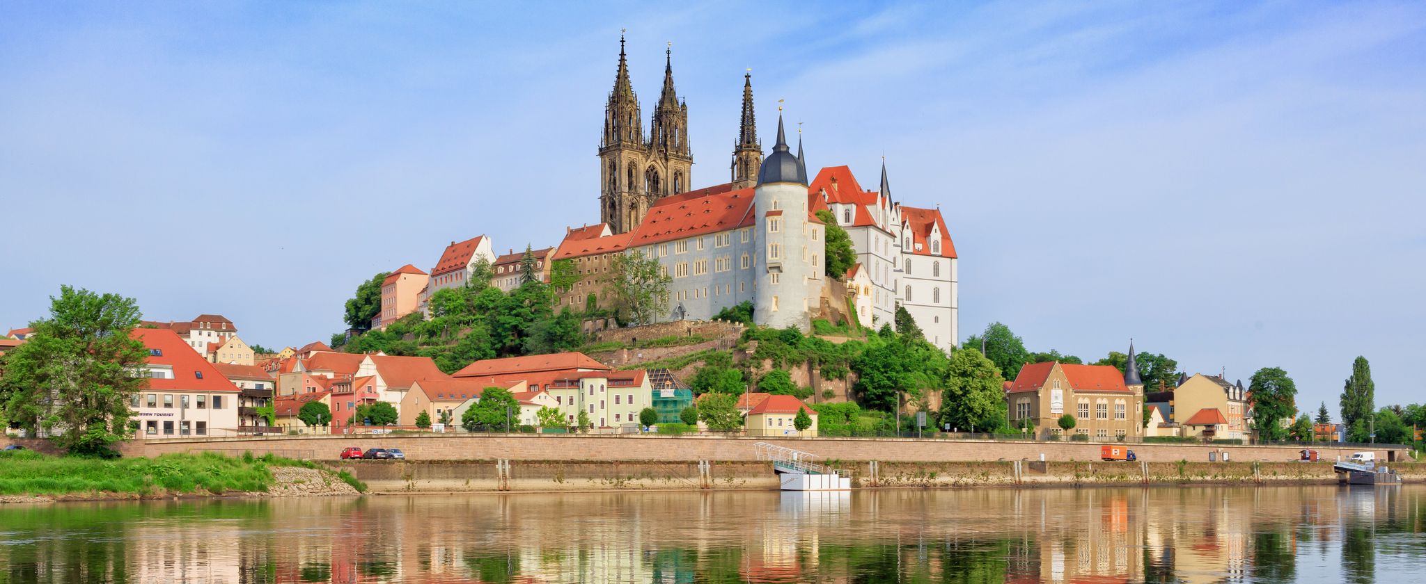
The Elbe Cycle Path — cross-border cycling pleasure
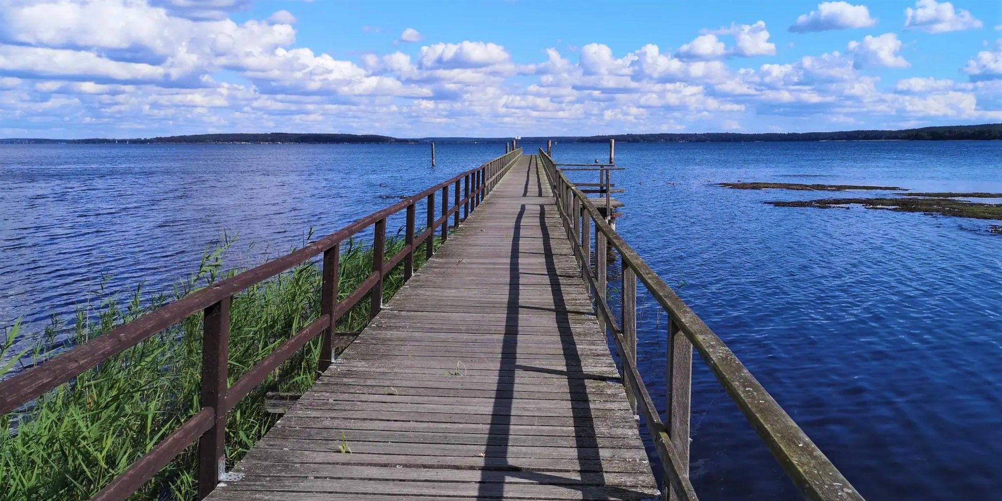
Cycling and swimming fun – Mecklenburg Lakes Cycle Route
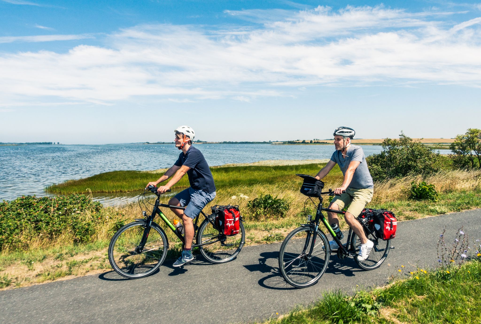
Elberadweg - Die Natur per Rad erleben
Eldetal-Rundweg
Elbetal-Schaalsee-Rundweg
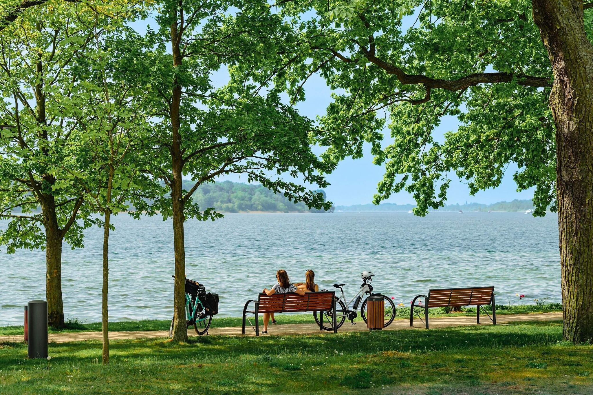
Elbe-Oderhaff Radweg
Other adventures around Dömitz


Tips from the Community

A wonderful view from the dune ridge over the meadow landscape of the Löcknitz-Niederung.
0
0

Not publicly accessible.
0
0


Dömitz, located on the Elbe River without a border crossing, was a border town during the GDR era – the Elbe formed the middle of the border. Europe's largest active grain silo was also once located here: grain came from the Soviet Union, via Czechoslovakia, to Dömitz in the GDR, for loading onto ships bound for Hamburg. This silo has been converted into a very elegant hotel and event location. From the terrace (approx. 25 meters), the entire surrounding area can be viewed. Relics of the old railway line (bridge; western bank of the Elbe) can also be viewed and walked through here. Needless to say: the Elbe Cycle Path "passes" by here; camping on the eastern railway embankment and a visit to the Dömitz Fortress are other notable/noteworthy points of interest.
0
0

The Elbe Valley Dunes near Klein Schmölen are a unique natural phenomenon in the heart of Mecklenburg-Western Pomerania, about 100 kilometers from the sea. They were formed around 12,000 years ago at the end of the last Ice Age and today form the largest inland shifting dune in Europe – up to 42 meters high and about two kilometers long. On the nutrient-poor, dry sandy areas, you will find rare plants and animals, including endangered insect species and the sand sedge. The dunes are located on the edge of the UNESCO Biosphere Reserve Elbe River Landscape Mecklenburg-Western Pomerania, which, with its near-natural floodplain landscape, offers great opportunities for nature experiences and relaxation.
1
0

Beautiful view of the Elbe Bridge
0
1

On the edge of the Mecklenburg Elbe Valley Nature Park, Europe's largest inland dune rises and offers a wonderful view. From the highest point, about 42 meters above sea level, you can see the Löcknitz lowlands in Mecklenburg, the Lenzener Wische in Brandenburg and the Elbe foreland in Lower Saxony.
1
0
Frequently Asked Questions
How many bus station hiking trails are available around Dömitz?
There are over 50 bus-accessible hiking trails around Dömitz, offering a wide range of options for different preferences and fitness levels. You'll find a good mix of easy, moderate, and challenging routes to explore the region's unique landscapes.
What kind of landscapes can I expect on bus-accessible hikes near Dömitz?
The bus-accessible hikes around Dömitz primarily traverse the diverse landscapes of the UNESCO Biosphere Reserve Elbe River Landscape Mecklenburg-Western Pomerania. You can expect picturesque views of the Elbe River, extensive floodplain forests, and unique marshlands. A notable feature is the Klein Schmölen Inland Dune, Europe's largest inland dune system, offering sandy terrain and panoramic views.
Are there any easy, family-friendly hikes accessible by bus from Dömitz?
Yes, Dömitz offers several easy, family-friendly routes that are perfect for a relaxed outing. For example, the Dömitz Harbor – St John's Church loop is an easy 7.6 km walk, ideal for families. Another great option is the Dömitz Bridge Memorial – Elbe River loop, which is 6.2 km and also considered easy, offering views of the Elbe.
What are some notable landmarks or points of interest I can see on these trails?
Many bus-accessible trails offer views of significant landmarks. You can explore the historic Dömitz Harbor, see the impressive Dömitz Elbe Bridge, or visit the Dömitz Railway Bridge (Skywalk). The Klein Schmölen Inland Dune itself is a major natural landmark, providing extensive views over the surrounding lowlands.
Are there any circular hiking routes starting directly from a bus stop?
Yes, many of the routes are designed as circular walks, making them convenient for public transport users. The Dömitz Harbor – St John's Church loop and the Dömitz Bridge Memorial – Elbe River loop are excellent examples of circular routes that can be easily accessed from bus stops in Dömitz.
What is the best time of year to hike around Dömitz using public transport?
The region is beautiful year-round, but spring and autumn offer particularly pleasant hiking conditions with mild temperatures and vibrant natural colors. Summer is also great, especially for enjoying the Elbe River landscape, though it can be warmer. Winter hikes are possible, but some paths might be muddy or icy, so appropriate footwear is essential.
Are the hiking trails around Dömitz dog-friendly?
Generally, the hiking trails around Dömitz are dog-friendly. However, it's always recommended to keep dogs on a leash, especially in nature reserves like the Elbe River Landscape Biosphere Reserve, to protect wildlife and ensure a pleasant experience for all hikers. Always carry water for your dog and clean up after them.
What do other hikers enjoy most about the bus-accessible trails in Dömitz?
The bus-accessible trails in Dömitz are highly rated by the komoot community, with an average score of 4.6 stars. Reviewers often praise the peaceful natural environment, the unique experience of the inland dunes, and the scenic views along the Elbe River. The accessibility by public transport is also frequently highlighted as a major benefit.
Are there any longer, more challenging bus-accessible hikes for experienced hikers?
For experienced hikers seeking a challenge, the Schmölener Brack – View of Schmölener Düne loop is a difficult 21.9 km route. This trail offers a more extensive exploration of the region, including the inland dunes, and requires a good level of fitness. Another moderate option is the Schmölener Brack – Klein Schmölen Inland Dune loop, which is 14.2 km.
Can I find viewpoints or scenic spots on these bus-accessible routes?
Absolutely. The region is rich in scenic viewpoints. The Klein Schmölen Inland Dune offers panoramic views reaching approximately 42 meters above sea level, allowing you to see the Löcknitz lowlands and the Elbe foreland. Additionally, the Meadows, Oxbow Lakes and Ancient Oaks on the Elbe Dike highlight provides beautiful vistas of the river landscape.
Are there opportunities for wildlife observation on hikes near Dömitz?
Yes, the extensive meadow landscapes along the Elbe dikes and within the Biosphere Reserve are prime locations for observing various wild animals and birds. The largely untouched floodplain ecosystem provides a habitat for diverse species, making it a rewarding experience for nature and wildlife enthusiasts.
Most popular attractions around Dömitz

Get inspired with the komoot mobile app


Explore more
Browse the best Hikes in other regions.
