The best hikes from bus stations around Itterbeck
4.5
(7741)
31,612
hikers
38
hikes
Bus station hiking trails around Itterbeck traverse a landscape characterized by extensive heath and forest areas, including the Itterbecker Heide. The region features the meandering Vechte river valley and significant moor areas, such as the Itterbecker Moor. These natural features provide diverse terrain for hiking, with gentle elevation changes across the area.
Best bus station hiking trails around Itterbeck
- The most popular bus station hiking route is Itterbeck Heathland – Itterbecker Heath loop from Samtgemeinde Uelsen, a 3.3 miles…
Last updated: July 11, 2026
4.6
(31)
138
hikers
Easy hike. Great for any fitness level. Easily-accessible paths. Suitable for all skill levels.
4.4
(16)
75
hikers
14.5km
03:41
50m
50m
Moderate hike. Good fitness required. Easily-accessible paths. Suitable for all skill levels.

Sign up for free
4.8
(14)
38
hikers
Moderate hike. Good fitness required. Easily-accessible paths. Suitable for all skill levels.
4.4
(16)
76
hikers
Moderate hike. Good fitness required. Easily-accessible paths. Suitable for all skill levels.
2.8
(6)
15
hikers
6.23km
01:35
10m
10m
Easy hike. Great for any fitness level. Easily-accessible paths. Suitable for all skill levels.
Get access to more routes and recommendations from other explorers.
Sign up for free
Already have an account?
Our route recommendations are based on thousands of hikes, rides, and runs completed by other people on komoot.
Start today with a free account
Your next adventure awaits.
Login or Signup
Popular around Itterbeck

Tips from the Community

Beautiful gravel path, unparalleled views. A few short jumps to get you up. Be careful, though, because you can't see what's coming.
0
0

NSG area! Cycling is not allowed. It is also clearly stated on the signs. No cyclists allowed
0
0


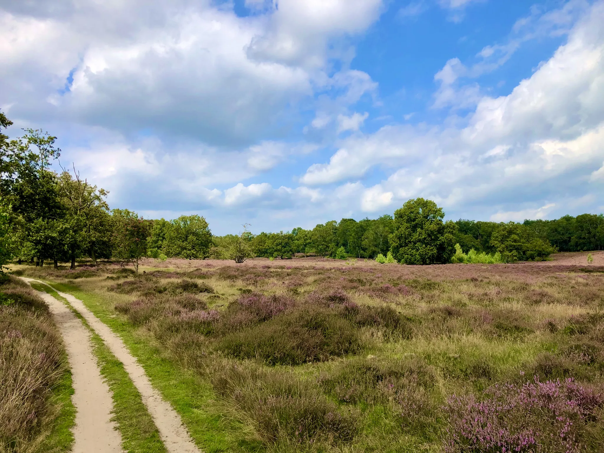
Beautiful spot on the Itterbeckerheide. A beautiful cycle/gravel path runs through it.
0
0

No idea what the purpose is and who placed this (once camouflaged) bench...
3
0

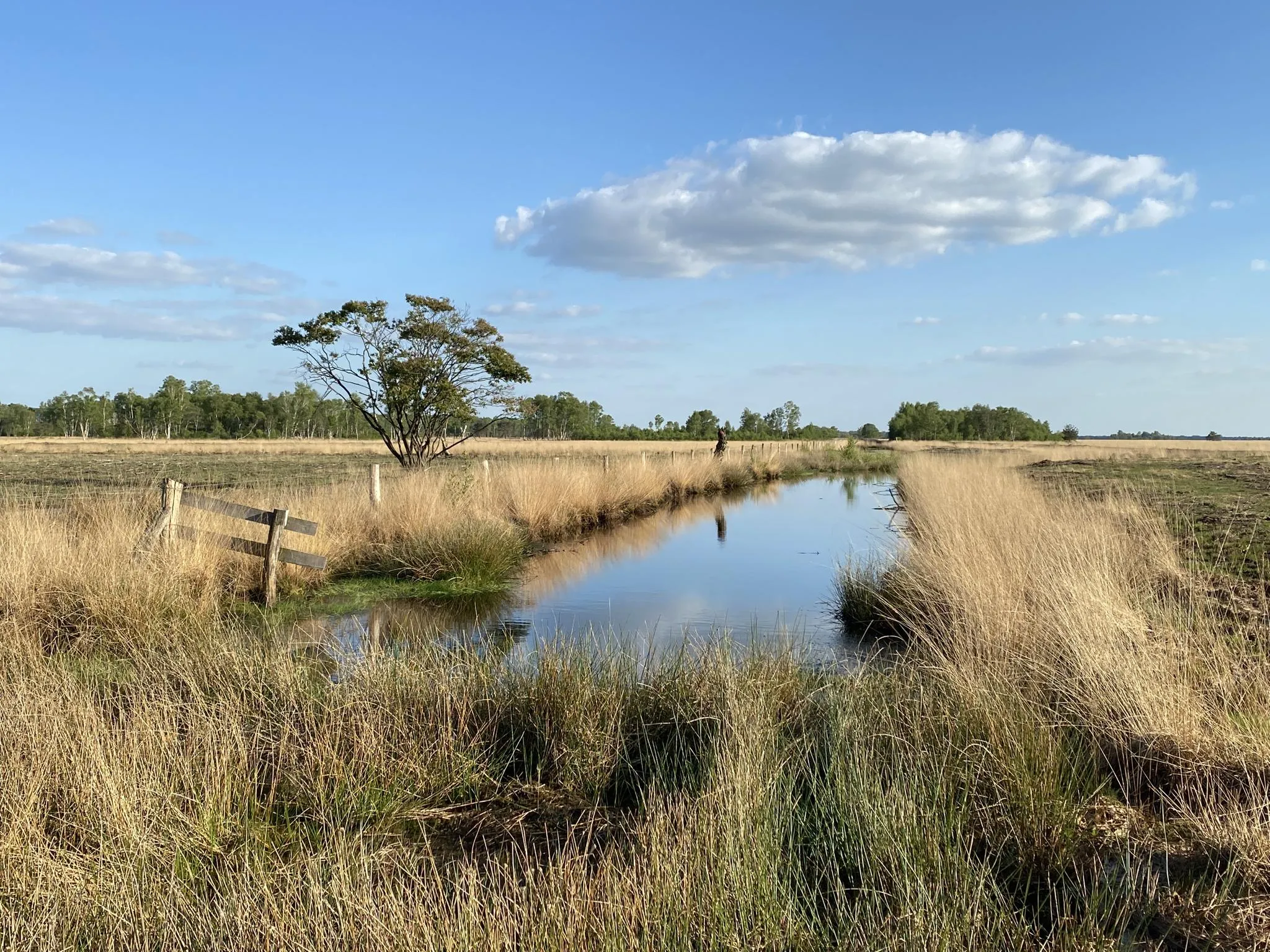
Swimming is forbidden in this lake, but the view of the blue water is also great. ;)
3
0
On this route you can let your gaze wander over the beautiful sandy heath landscape around you. But please stay on the paths marked for cyclists. ;)
1
0

Frequently Asked Questions
How many bus station hiking trails are available around Itterbeck?
There are over 40 hiking trails around Itterbeck that are easily accessible from bus stations, catering to various fitness levels. You'll find a good mix of easy, moderate, and a few more challenging routes to explore the region's diverse landscapes.
What kind of landscapes can I expect on these bus station hikes in Itterbeck?
The bus station hikes around Itterbeck will lead you through a variety of picturesque landscapes. Expect to traverse extensive heath and forest areas, particularly around the Itterbecker Heide. Many routes also offer glimpses of the idyllic Vechte river valley and unique moor areas like the Itterbecker Moor, showcasing the region's natural diversity.
Are there any easy, family-friendly bus station hikes in Itterbeck?
Yes, Itterbeck offers several easy routes perfect for families. A great option is the Itterbeck Heathland – Itterbecker Heath loop from Samtgemeinde Uelsen. This 5.3 km (3.3 miles) easy trail is relatively flat and allows you to experience the beautiful heathland without significant effort. The region's natural features make it an engaging experience for younger explorers.
What is the best time of year to go hiking from bus stations in Itterbeck?
The best seasons for hiking in Itterbeck are generally spring and summer, when the natural flora is in full bloom, especially the heath. Autumn also offers a beautiful experience as the leaves change color, painting the forests in warm hues. While some trails are accessible year-round, spring through autumn provides the most vibrant scenery.
Are there any circular bus station routes in Itterbeck?
Many of the bus station accessible trails in Itterbeck are designed as circular routes, allowing you to start and end at the same point, often near a bus stop. For example, the Itterbecker Heide – Itterbecker Heath loop from Zielmann is a moderate 14.5 km (9 miles) circular hike that immerses you in the heathland scenery.
What interesting sights or attractions can I find along bus station hiking trails in Itterbeck?
While hiking from bus stations, you can discover several points of interest. The region is known for its natural features like the Itter Spring. Nearby, you might encounter historical sites such as the Lage Watermill on the Dinkel River, which also features castle ruins and a historic Oak avenue. The Bels Watermill is another notable attraction in the vicinity.
Are there any longer, more challenging bus station hikes for experienced hikers?
For those seeking a longer challenge, the Itterbecker Heath – Schoneveld Watermill loop from Samtgemeinde Uelsen offers a moderate 15 km (9.3 miles) route. While most trails are moderate, their length can provide a good workout, allowing you to explore more of the diverse landscapes, including heath and forest areas.
What do other hikers say about the bus station trails in Itterbeck?
The hiking trails around Itterbeck are highly rated by the komoot community, with an average score of 4.5 stars from over 6,800 ratings. Hikers often praise the quiet woodlands, the extensive heath areas, and the well-maintained paths that make for an enjoyable outdoor experience.
Are there any bus station hikes that offer good viewpoints of the heathland?
Absolutely. The region's extensive heath areas provide excellent opportunities for scenic views. Consider the Itterbecker Heath – View of the Heathland loop from Samtgemeinde Uelsen, a moderate 14.9 km (9.3 miles) route specifically designed to showcase the panoramic beauty of the heathland.
Can I bring my dog on these bus station hiking trails?
Many of the trails in Itterbeck are suitable for dogs, allowing you to enjoy the natural surroundings with your canine companion. It's always recommended to keep dogs on a leash, especially in nature reserves or areas with wildlife, and to respect local regulations. The diverse landscapes offer plenty of space for both you and your dog to explore.
Are there any bus station hikes that pass by water features?
Yes, several routes incorporate water features. The picturesque Vechte river meanders through the landscape, and some trails offer views of its valley. Additionally, the Springs and Boardwalk Trail near Springendal, and the Springs themselves, are notable natural water features that can be accessed or are near some of the hiking areas.
Most popular routes around Itterbeck
Most popular attractions around Itterbeck

Get inspired with the komoot mobile app


Explore more
Browse the best Hikes in other regions.
