The best hikes from bus stations around Alfhausen
4.5
(3795)
14,861
hikers
26
hikes
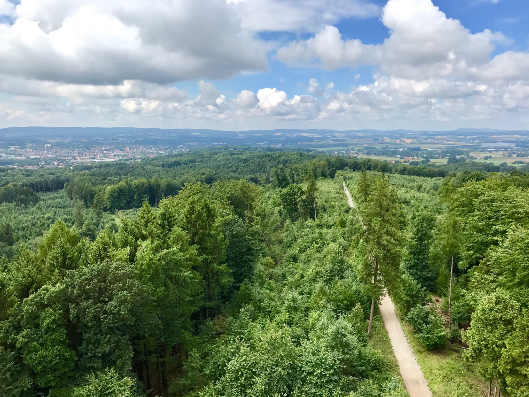
Hiking around Alfhausen offers a diverse landscape shaped by the Hase River Valley and the Heiligenberg Hills. The region features gently rolling parkland, dense forests, and the Alfsee, a lake with a significant nature reserve. Trails often traverse these varied environments, providing opportunities to observe local wildlife and natural features. The terrain generally ranges from flat paths around the Alfsee to more undulating routes through forested areas.
Best bus station hiking trails around Alfhausen
- The most popular bus station hiking…
Last updated: October 28, 2026
3.3
(3)
10
hikers
21.9km
05:41
140m
140m
Hard hike. Very good fitness required. Easily walkable paths.
16
hikers
4.59km
01:10
10m
10m
Easy hike. Easily walkable paths.

4.0
(2)
16
hikers
6.07km
01:32
10m
10m
Easy hike. Easily walkable paths.
3
hikers
Easy hike. Easily walkable paths.
7
hikers
10.8km
02:43
10m
10m
Moderate hike. Good fitness required. Easily walkable paths.
Get access to more routes and recommendations from other explorers.
Already have an account?
Our route recommendations are based on thousands of hikes, rides, and runs completed by other people on komoot.
Other adventures around Alfhausen

Tips from the Community


The Alfsee invites you for a walk. On the "dike" there are some seating options for a break or just to sit and let your soul dangle. If the Alfsee circular path is not enough for you, you can also walk a lap around the Alfsee reservoir.
0
0

The lake is always worth a lap
0
0

The megalithic tomb belongs to the Giersfeld stone tomb field. It is not known how many tombs the Giersfeld originally comprised, but many of them have been destroyed or removed. The Grumfeld-Ost tomb is no longer in the best condition, as many stones have been removed. The hiking trail leads right through the burial complex.
0
0
In the Giersfeld, many megalithic graves can be found. But when urn burials became common later, not as much effort was put in. Instead, stone cists, which first appeared about 4000 years ago and in which the urn was stored, were sufficient. They were covered with an earth mound.
0
0
The megalithic tomb belongs to the Giersfeld stone grave field. It is not known how many graves the Giersfeld originally comprised, but many of them were destroyed or removed. Here, somewhat hidden, lies the megalithic tomb Rickelmann I. Incidentally, it is named after the local fruit farm, which maintains a cultivation area for blueberries here.
0
0
The megalithic tomb belongs to the Giersfeld stone grave field. It is not known how many graves Giersfeld originally comprised, but many of them have been destroyed or removed. Here at the megalithic tomb Rickelmann II, it is very clear that stone chambers were originally covered with earth. Half of the tomb has therefore been preserved half-covered.
0
0
At the Grumfeld-West megalithic tomb, two graves were combined - one chamber 17 m long and the other 12 m long. Due to its impressive size, the rumor persisted for a long time that a king had been buried here. In reality, however, the burial chamber is approx. 5500 years old. The megalithic tomb belongs to the Giersfeld megalithic field. It is not known how many graves the Giersfeld originally comprised, but many of them were destroyed or removed.
0
0
Frequently Asked Questions
How many bus station hiking trails are available around Alfhausen?
There are over 30 hiking trails around Alfhausen that are easily accessible from bus stations. These routes offer a variety of experiences, from easy strolls to more challenging day hikes.
What types of landscapes can I expect on bus-accessible hikes in Alfhausen?
Hikes around Alfhausen accessible by bus offer a diverse range of landscapes. You'll find trails through the ancient Hase River Valley, the rolling Heiligenberg hills, dense forests, and open parkland. Many routes also feature views of the Alfsee and the Mittelland Canal.
Are there any easy, family-friendly hikes from Alfhausen bus stations?
Yes, Alfhausen offers many easy and family-friendly options. For instance, the North shore of the Alfsee – Viewpoint Reserve Basin Alfsee loop from Alfhausen is an easy 4.7 km route perfect for a leisurely outing. Another great choice is the Birdwatching at the Alfsee – Alfsee South Dam loop from Alfhausen, which is 6.1 km and offers excellent opportunities for nature observation.
What are some notable natural features or attractions to see on these trails?
Many bus-accessible trails feature the scenic Alfsee, a significant lake with a nature reserve known for birdwatching. You might also encounter the Alfsee Overflow Weir with its rushing water, or the tranquil Heiligenberg hills. The region's dense forests and the Hase River valley are also prominent natural highlights.
Are there any longer or more challenging bus-accessible hikes in Alfhausen?
For those seeking a longer challenge, the Gold Hill Shelter – Heiligenberg Forest Nature Trail loop from Alfhausen is a difficult 21.9 km route. It takes you through varied terrain, including the Heiligenberg Forest, offering a more demanding day hike experience.
Can I find circular hiking routes that start and end at a bus station?
Absolutely. Most of the hiking routes listed in this guide are circular, meaning they conveniently start and end at the same point, often near a bus station. This makes planning your public transport journey straightforward.
What do other hikers say about the trails around Alfhausen?
The komoot community highly rates the trails around Alfhausen, with an average score of 4.5 out of 5 stars from over 3200 ratings. Hikers frequently praise the region's tranquil forests, well-maintained paths, and the beautiful views of the Alfsee.
Are there any historical sites or cultural points of interest along the bus station trails?
Yes, some routes incorporate historical elements. For example, the St. Johannis Church, Alfhausen – Gold Hill Shelter loop from Alfhausen starts near the impressive Artländer Dom St. Johannis, allowing you to combine cultural exploration with your hike.
Are the bus station hiking trails in Alfhausen suitable for dogs?
Many trails in the Alfhausen region are dog-friendly, especially those through forests and open parkland. It's always a good idea to keep your dog on a leash, especially near nature reserves like the Alfsee, to protect local wildlife. Please check individual route details for specific restrictions.
Are there places to rest or find refreshments along the bus-accessible routes?
Yes, you can find various rest stops and huts along the trails. For instance, the Rest hut Critique of the hiking friend, Alfhausen is a known spot. Some routes also pass by facilities near the Alfsee, where you might find cafes or other amenities. Always check the specific route details for refreshment options.
What is the best time of year to hike around Alfhausen from a bus station?
Alfhausen offers enjoyable hiking experiences year-round. Spring brings blooming nature, summer provides lush greenery, and autumn showcases vibrant foliage. Even in winter, the Alfsee is notable for birdwatching. The gently rolling terrain makes most trails accessible in various seasons, though checking weather conditions is always recommended.
Most popular routes around Alfhausen
Most popular attractions around Alfhausen

Get inspired with the komoot mobile app


Explore more
Browse the best Hikes in other regions.
