The best hikes from bus stations around Rheinfelden (Baden)
4.5
(1856)
8,703
hikers
280
hikes
Bus station hiking trails around Rheinfelden (Baden) offer access to a diverse landscape at the High Rhine, bordering Switzerland. The region is characterized by the Rhine River, the Dinkelberg hills, and proximity to the Black Forest foothills. Hikers can explore riverside paths, vineyards, and forested areas, with elevations in the Dinkelberg reaching up to 500 meters. This geographical blend provides varied terrain for outdoor activities.
Best bus station hiking trails around Rheinfelden (Baden)
- The most popular bus station hiking route…
Last updated: July 11, 2026
4.6
(10)
61
hikers
4.97km
01:28
140m
140m
Easy hike. Great for any fitness level. Easily-accessible paths. Suitable for all skill levels.
4.9
(8)
50
hikers
Moderate hike. Good fitness required. Easily-accessible paths. Suitable for all skill levels.

Sign up for free
4.7
(29)
92
hikers
Moderate hike. Good fitness required. Easily-accessible paths. Suitable for all skill levels.
4.6
(21)
52
hikers
6.06km
01:42
120m
120m
Easy hike. Great for any fitness level. Easily-accessible paths. Suitable for all skill levels.
4.5
(8)
67
hikers
4.47km
01:13
60m
60m
Easy hike. Great for any fitness level. Easily-accessible paths. Suitable for all skill levels.
Get access to more routes and recommendations from other explorers.
Sign up for free
Already have an account?
Our route recommendations are based on thousands of hikes, rides, and runs completed by other people on komoot.
Start today with a free account
Your next adventure awaits.
Login or Signup
Popular around Rheinfelden (Baden)
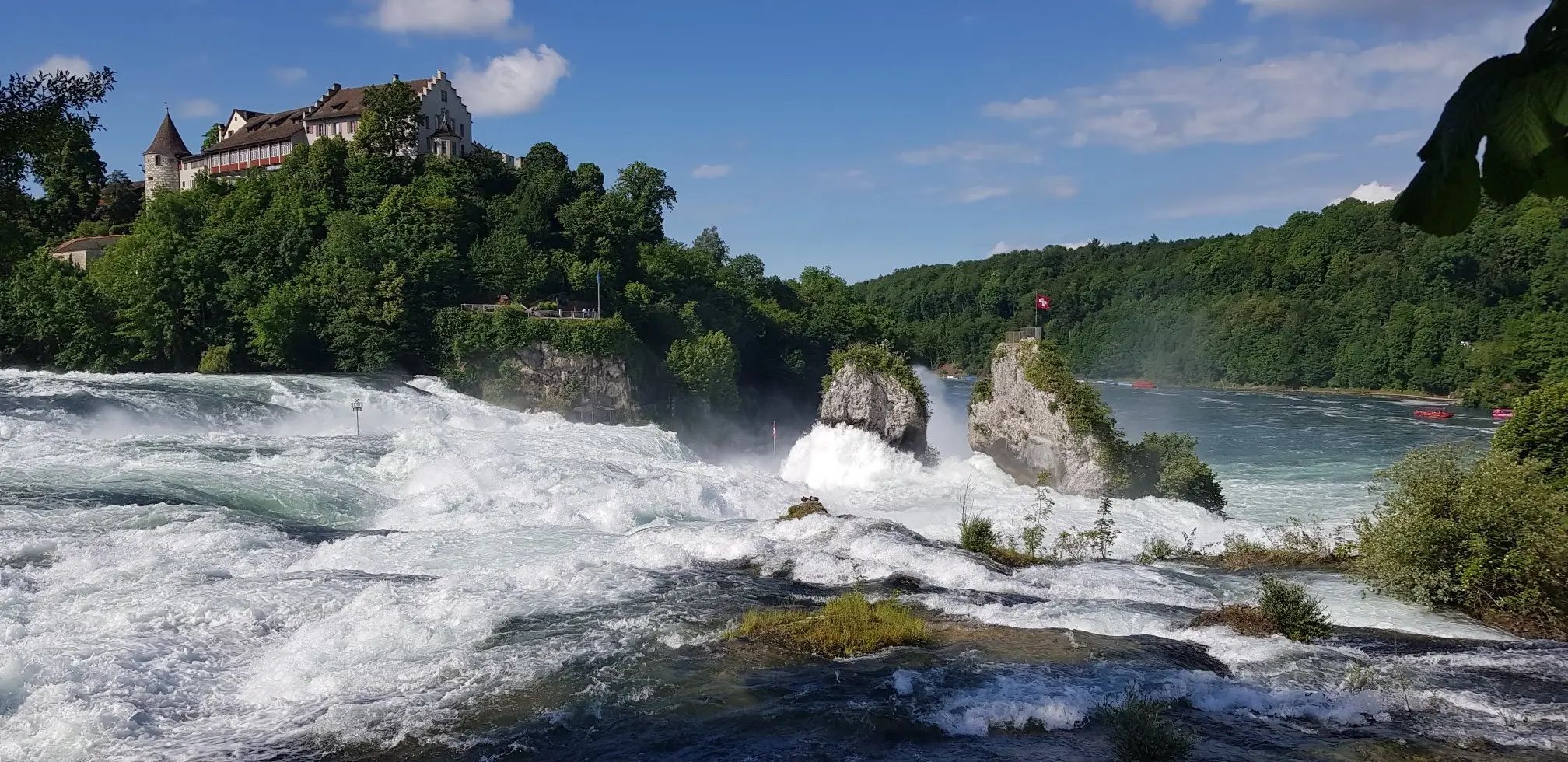
Hochrhein-Höhenweg – Forests and rivers from Germany to Switzerland

Sunny rides up to heights in the Black Forest
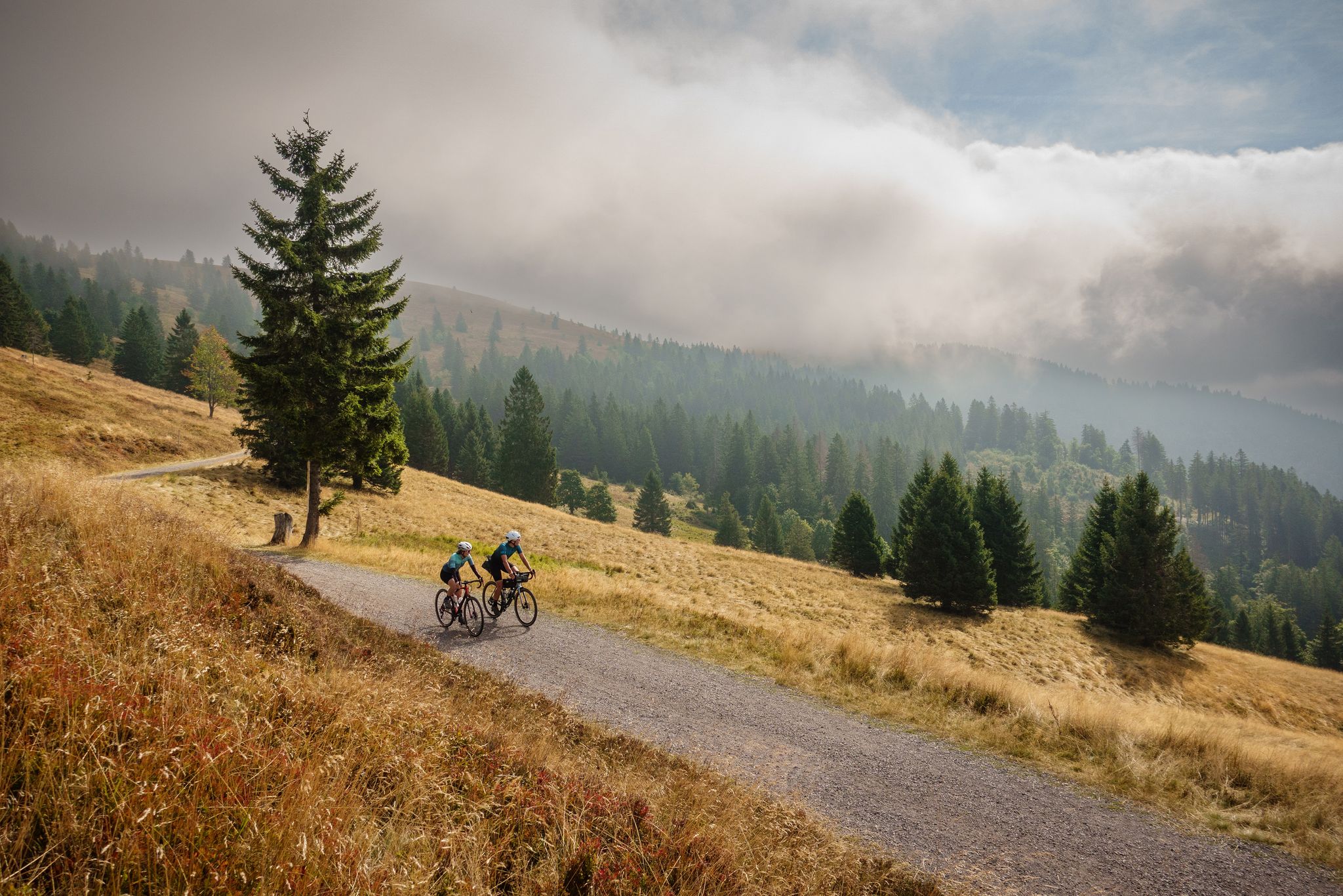
Nature, mountains and freedom – gravel and cycle Tours in the Black Forest
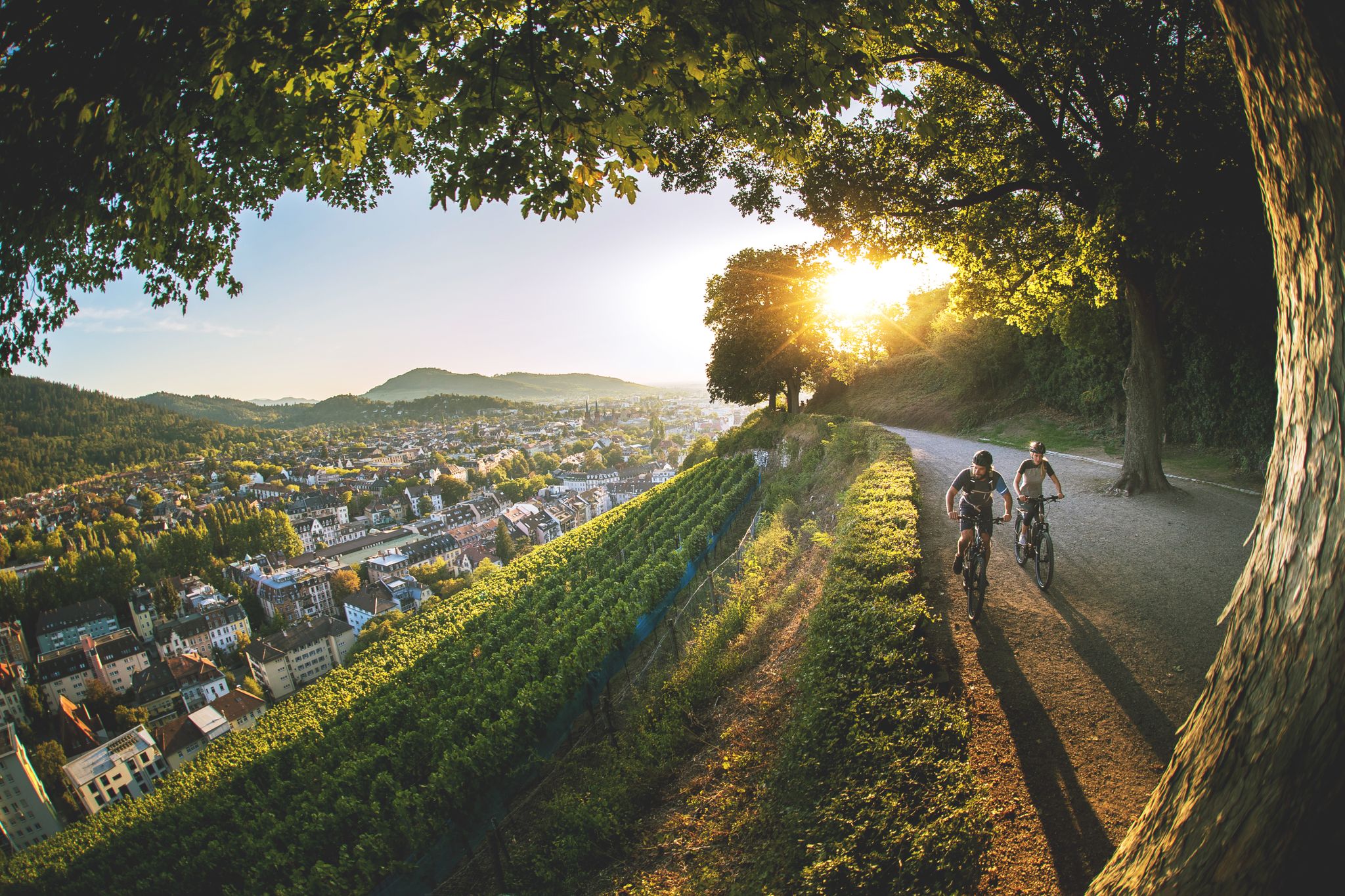
Black Forest gateau and how to burn it off again

Bikepacking the Black Forest and Alsace
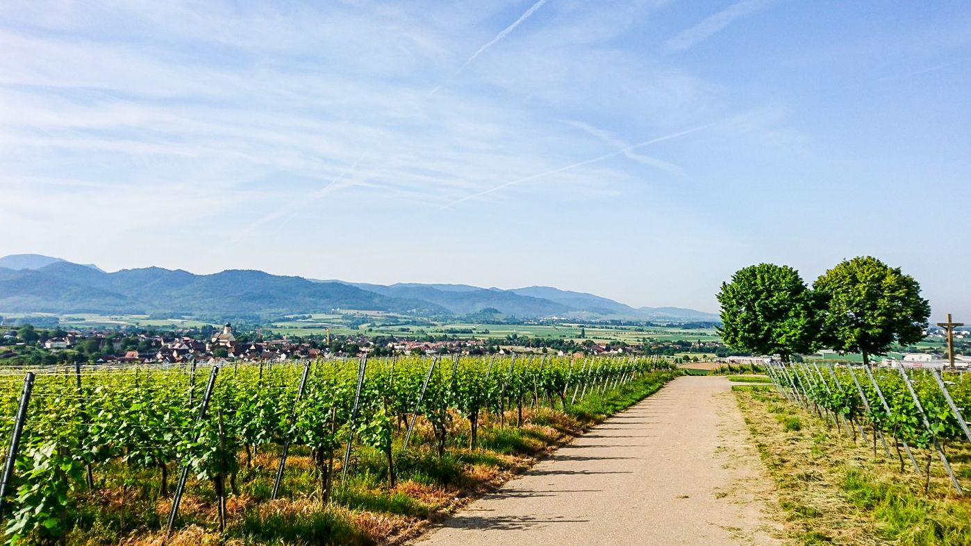
Südschwarzwald-Radweg – 5 stages of pleasing nature
Other adventures around Rheinfelden (Baden)


Tips from the Community

Delve deep into the past and learn about the time of the Romans in this area.
0
0

Old boundary line where the old "borders" of Inzlingen, Lörrach, Stetten, Hagenbach, Adelhausen, Ottwangen and Brombach met.
0
0

Café Elke is highly recommended; you can replenish those burned calories there ;). Good food and delicious cakes. However, it might be a good idea to reserve a table. There's a large parking lot nearby.
1
0

The Mägdebrunnen (Maiden's Fountain) is a worthwhile destination in every season – whether for residents of the neighboring villages of Obereichsel and Adelhausen seeking a relaxing break during their daily fitness or recreational walk, or for visitors to the two nearby restaurants, or for families with children. A wetland biotope with a short nature trail, the Mägdebrunnen fountain itself, a small stream, and shady trees complete this idyllic spot.
1
0

Large, beautifully restored facility with detailed information panel.
0
0

The square with its fountain was redesigned by the citizens of Wiechs in 1956; previously, it was a cattle trough. Those who don't feel like climbing the tower can take a break here with a view of the Rhine and the Alps.
3
0
The Hohe-Flum Tower stands on the highest point of the Dinkelberg, at 535 meters above sea level. The 13.5-meter-high tower was built in 1874. Sixty-two steps lead up to the platform. From there, one has a magnificent panoramic view in all directions. To the south, one can see the Swiss Jura plateau and, in good weather, the Alps beyond. To the west, the view extends to the Vosges Mountains, and to the north and east, to the Black Forest. The Entegast, Zeller Blauen, Hohe Möhr, and other peaks are also visible.
5
0

Frequently Asked Questions
How many bus station hiking trails are available in Rheinfelden (Baden)?
There are over 230 hiking routes around Rheinfelden (Baden) that are easily accessible from bus stations. These include 125 easy trails, 103 moderate options, and a few more challenging routes for experienced hikers.
What kind of landscapes can I expect on bus-accessible hikes in Rheinfelden (Baden)?
The bus-accessible hikes in Rheinfelden (Baden) offer a diverse range of landscapes. You can explore scenic paths along the majestic Rhine River, discover the rolling hills of the Dinkelberg with their forests and meadows, or enjoy views of picturesque vineyards. The region's unique position at the foothills of the Black Forest provides varied natural beauty.
Are there any easy, circular routes suitable for beginners or families starting from a bus stop?
Yes, there are several easy, circular routes perfect for beginners or families. For example, the Village Smithy Nollingen – Roman Villa Rustica Nollingen loop from Rheinfelden (Baden) is an easy 5.7 km trail that takes about 1 hour 40 minutes. Another great option is the Rhine River Near Möhlin loop from VVG der Stadt Rheinfelden (Baden), offering pleasant riverside views over 7.2 km.
Can I find routes with good viewpoints or observation towers accessible by bus?
Absolutely. The Dinkelberg hills offer excellent viewpoints. Consider the Giant Bench Nordschwaben – Hohe Flum Lookout Tower loop from VVG der Stadt Rheinfelden (Baden), a moderate 14.2 km route that leads to the Hohe Flum observation tower, providing wide vistas into the southern Black Forest.
Are there any historical or cultural landmarks along the bus station hiking trails?
Many trails in the region are interwoven with historical and cultural points of interest. While specific routes vary, you might encounter sites like the historic Olsberg Abbey or Schloss Beuggen. The Village Smithy Nollingen – Roman Villa Rustica Nollingen loop, for instance, passes by the Roman Villa Rustica Nollingen, offering a glimpse into the area's past.
What is the best time of year for hiking from bus stations in Rheinfelden (Baden)?
The best times for hiking in Rheinfelden (Baden) are spring and autumn. During these seasons, the landscape is particularly vibrant with blooming plants or colorful foliage, creating an idyllic atmosphere for your walks. Summer also offers pleasant conditions, especially for riverside trails.
Are there any waterfalls near the bus-accessible hiking routes?
While not directly on every bus-accessible route, the broader Rheinfelden (Baden) area is home to several beautiful waterfalls. You can explore highlights such as the Frenke Waterfalls or the Hülftenfall Waterfall on the Ergolz, which can be incorporated into your hiking plans or visited separately.
What do other hikers say about the trails around Rheinfelden (Baden)?
The hiking trails around Rheinfelden (Baden) are highly rated by the komoot community, with an average score of 4.55 out of 5 stars. Reviewers often praise the well-maintained paths, the diverse scenery ranging from river views to forest trails, and the excellent accessibility via public transport.
Are there any moderate difficulty routes that offer a good challenge?
Yes, for those looking for a moderate challenge, the Kickerhütte Degerfelden – Eigenturm Observation Tower loop from Kaiseraugst is a great choice. This 7.6 km route involves some elevation gain and takes approximately 2 hours 20 minutes, offering rewarding views along the way.
Can I find routes that explore the Dinkelberg hills from a bus stop?
Absolutely. The Dinkelberg hills are a prominent feature of the region, offering unique landscapes. The Hiking loop from Dinkelberg is an easy 6 km route that allows you to experience the forests, meadows, and orchards characteristic of this area, all starting conveniently from a bus-accessible point.
Are there any specific resources for planning bus travel to the trailheads?
For detailed information on bus schedules and routes to reach the trailheads, it's best to consult the local public transport provider's website. You can also find general information about experiencing Rheinfelden at tourismus-rheinfelden.ch.
Most popular routes around Rheinfelden (Baden)
Most popular attractions around Rheinfelden (Baden)

Get inspired with the komoot mobile app


Explore more
Browse the best Hikes in other regions.
