The best hikes from bus stations around Dietenheim
4.5
(1459)
8,095
hikers
63
hikes
Bus station hiking trails around Dietenheim offer access to diverse landscapes shaped by the Iller River and its surrounding natural features. The region is characterized by riparian forests, re-naturalized river sections, and varied terrain including hedged fields, orchards, and the Weihungtal valley. Forests like the "Holzstöcke" contribute to the area's natural appeal. These features provide a range of environments for outdoor exploration.
Best bus station hiking trails around Dietenheim
- The most popular bus station hiking route is S'Herrgöttle Chapel –…
Last updated: July 11, 2026
4.7
(41)
190
hikers
11.1km
02:56
100m
100m
Moderate hike. Good fitness required. Easily-accessible paths. Suitable for all skill levels.
4.7
(40)
184
hikers
11.5km
03:03
110m
110m
Moderate hike. Good fitness required. Easily-accessible paths. Suitable for all skill levels.

Sign up for free
5.0
(10)
62
hikers
Easy hike. Great for any fitness level. Easily-accessible paths. Suitable for all skill levels.
4.8
(32)
124
hikers
9.10km
02:19
30m
30m
Moderate hike. Good fitness required. Easily-accessible paths. Suitable for all skill levels.
4.8
(30)
131
hikers
9.38km
02:24
30m
30m
Moderate hike. Good fitness required. Easily-accessible paths. Suitable for all skill levels.
Get access to more routes and recommendations from other explorers.
Sign up for free
Already have an account?
Our route recommendations are based on thousands of hikes, rides, and runs completed by other people on komoot.
Start today with a free account
Your next adventure awaits.
Login or Signup



Tips from the Community


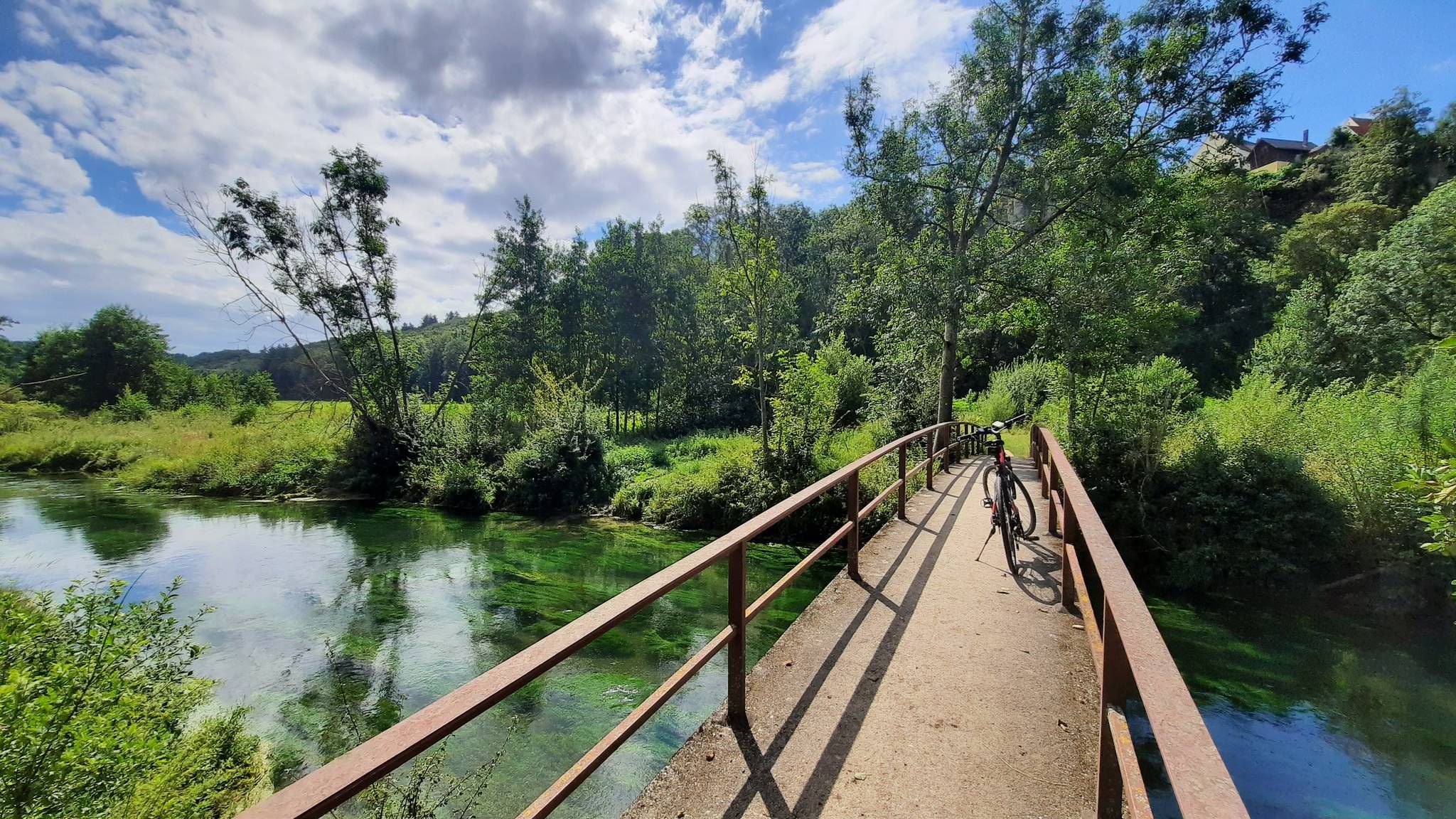
Well-maintained, safe crossing over the canal.
1
0
The chapel is in need of renovation but still invites you to take a moment to reflect and is situated in a beautiful landscape
0
0

Starting point for hikes along the Iller.
0
0
As children we called it rolling water because sometimes it looks like the water is spinning.
0
0

Excursion to Illertissen to the Vöhlin Castle for the bee exhibition
1
0
Frequently Asked Questions
How many bus station accessible hiking trails are there around Dietenheim?
There are over 60 hiking trails around Dietenheim that are easily accessible from bus stations. These routes cater to various fitness levels, with 40 easy, 24 moderate, and 1 difficult trail available.
Are there easy hiking options available from bus stations in Dietenheim?
Yes, Dietenheim offers many easy hiking options perfect for a relaxed outing. A great choice is the Iller Bridge – Swimming Spot on the Iller loop from Gemeindeverwaltungsverband Dietenheim, which is an easy 4.4 km walk along the scenic Iller River.
What kind of landscapes can I expect on these bus station hiking trails?
The trails around Dietenheim primarily feature the beautiful Iller River, with its riparian forests and re-naturalized sections. You'll also encounter charming contrasts like hedged fields, orchards, and the pleasant Weihungtal valley, offering a rich natural experience.
Are there any circular walks starting from bus stations in Dietenheim?
Absolutely. Many routes are designed as circular walks, allowing you to return to your starting point. For a moderate circular hike, consider the S'Herrgöttle Chapel – Weir on the Iller loop from Regglisweiler, which offers diverse scenery over 11 km.
Are the hiking trails around Dietenheim suitable for families?
Yes, many trails are suitable for families, especially the easier routes along the Iller River. The paths are often well-maintained and offer opportunities for children to enjoy nature. The Iller Bridge – Swimming Spot on the Iller loop from Gemeindeverwaltungsverband Dietenheim is a good family-friendly option.
Can I bring my dog on the hiking trails near Dietenheim's bus stations?
Most trails in the Dietenheim area are dog-friendly, allowing you to enjoy the outdoors with your canine companion. Always keep your dog on a leash, especially in nature conservation areas or near livestock. The riparian forests along the Iller provide excellent walking opportunities for dogs.
Are there any waterfalls or rapids to see on these hikes?
While not large waterfalls, sections of the Iller River near Dietenheim feature rapids and areas where the river has been re-naturalized with gravel banks and stone blocks, creating dynamic water features that are pleasant to observe during your hike.
What are some interesting landmarks or attractions I can see along the bus station hiking trails?
You can discover several points of interest. The Ilgenweiher and Dietenheim bathing lake offer scenic spots. You might also encounter the Rushing Iller River itself, or the Rest Area on the Iller Near Senden. S'Herrgöttle Chapel is also a notable destination on some loops.
What do other hikers enjoy most about hiking in Dietenheim?
The area is highly rated by the komoot community, with an average score of 4.5 stars from over 1,300 ratings. Reviewers often praise the serene beauty of the Iller River, the well-maintained paths through riparian forests, and the accessibility of trails from public transport.
Are there any moderate hikes from bus stations for more experienced hikers?
Yes, there are several moderate routes for those seeking a bit more challenge. The Weir on the Iller – s'Herrgöttle Chapel loop from Dietenheim is a moderate 11.5 km hike with some elevation gain, offering beautiful views and a good workout.
Can I find trails that are part of larger hiking networks?
Yes, Dietenheim is part of larger hiking networks. The Main-Danube-Lake Constance Trail (HW4), a long-distance path of the Swabian Alb Association, passes through the area, offering opportunities for more extensive trekking experiences.
Are there any trails that pass through nature conservation areas?
Yes, the region includes areas of nature conservation. For example, the Regglisweiler circular route, a recommended moderate trail, passes through an FFH area (Flora-Fauna-Habitat), highlighting the region's commitment to preserving its natural beauty.
Most popular routes around Dietenheim
Most popular attractions around Dietenheim

Get inspired with the komoot mobile app


Explore more
Browse the best Hikes in other regions.
