The best hikes from bus stations around Argenbühl
4.5
(18658)
79,252
hikers
83
hikes
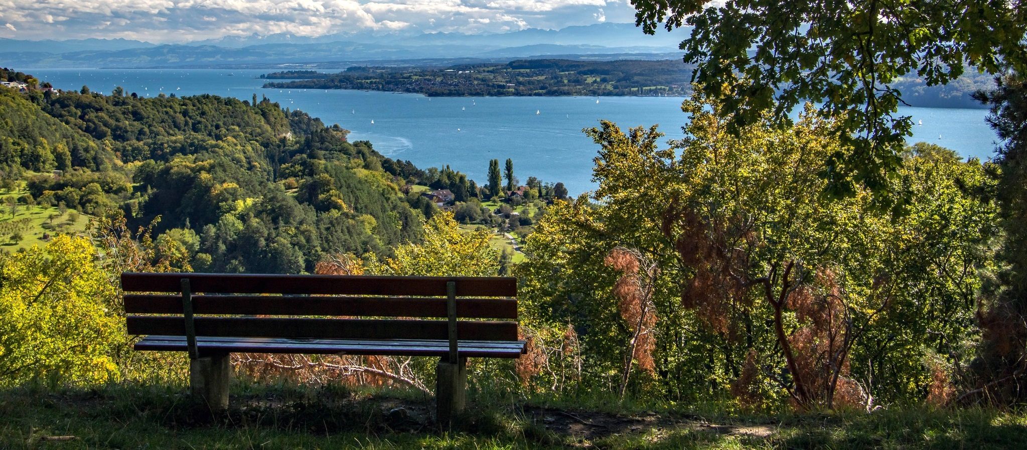
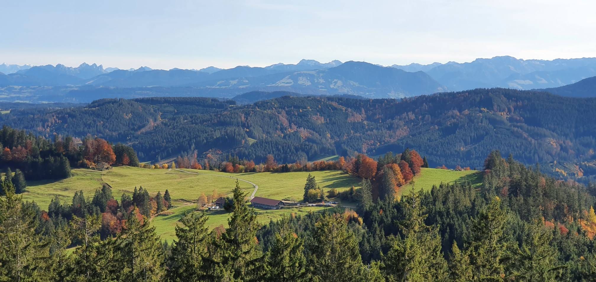
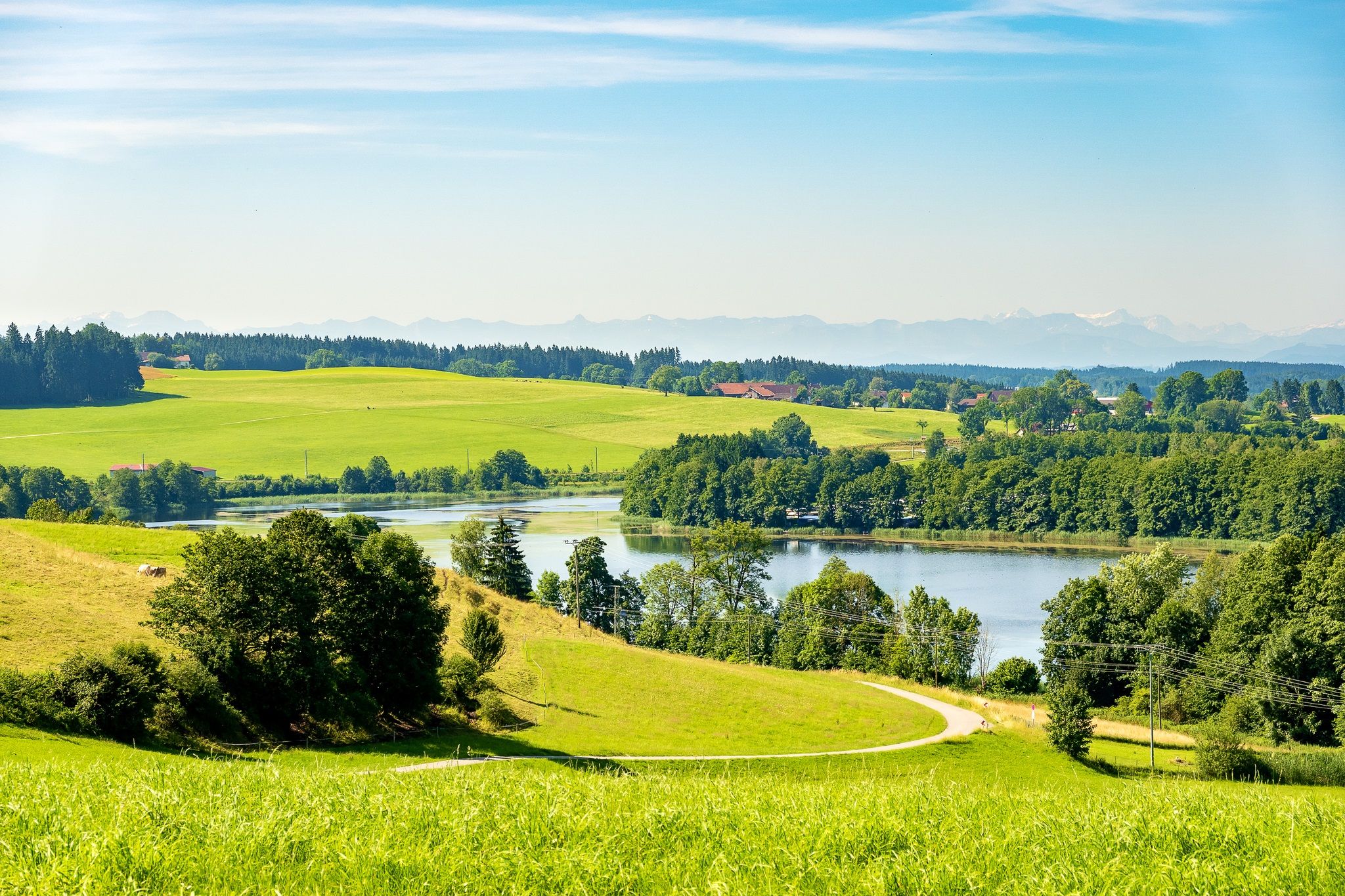
Bus station hiking trails around Argenbühl traverse a diverse landscape characterized by rolling hills, expansive green meadows, and tranquil forests. Situated between the Allgäu and Lake Constance, the region features varied topography with gentle slopes and deeper valleys. Hikers can explore serene lakes and enjoy panoramic views over the surrounding countryside. This natural setting provides a rich backdrop for outdoor activities, offering a network of well-maintained trails.
Best bus station hiking trails around Argenbühl
- The most popular bus station hiking…
Last updated: October 1, 2026
4.8
(79)
290
hikers
9.09km
02:27
120m
120m
Moderate hike. Good fitness required. Easily-accessible paths. Suitable for all skill levels.
4.6
(59)
215
hikers
Moderate hike. Good fitness required. Easily-accessible paths. Suitable for all skill levels.

4.8
(52)
173
hikers
Easy hike. Great for any fitness level. Easily-accessible paths. Suitable for all skill levels.
4.6
(29)
117
hikers
8.46km
02:18
120m
120m
Moderate hike. Good fitness required. Easily-accessible paths. Suitable for all skill levels.
4.8
(21)
96
hikers
6.90km
01:50
80m
80m
Easy hike. Great for any fitness level. Easily-accessible paths. Suitable for all skill levels.
Get access to more routes and recommendations from other explorers.
Already have an account?
Our route recommendations are based on thousands of hikes, rides, and runs completed by other people on komoot.
Other adventures around Argenbühl


Tips from the Community

Only conditionally suitable for bikes with wide handlebars.
1
0

New bridge built in 2000, after the last bridge was destroyed in the historic flood of 1999.
8
0
Ratzenried Castle, also known as the Lower Castle, is located in the Ratzenried district of the municipality of Argenbühl in the Ravensburg district. It was built at the end of the 15th century by the Humpis family of merchants from Ravensburg and evolved over the centuries from a stately residence into a prestigious castle complex with a wealth of architectural features. The building represents the transition from a medieval aristocratic residence to a Baroque country palace and has been closely linked to the history of the Ratzenried estate for more than five centuries. Today, it houses the headquarters of the Humboldt Institute, an internationally oriented language institution, and the castle is considered a defining architectural element of the townscape.
8
0
After another fire destroyed the previous church, the chancel and nave were rebuilt in the Gothic style in 1469 under Jos Humpiß, who had acquired the St. Gall fiefdom in Ratzenried in 1453. The present chancel dates from this period. Jos Humpiß from Ravensburg had acquired the St. Gall fiefdom in Ratzenried in 1453, and his family would influence not only the history of the ruling powers but also the church history of Ratzenried until 1813.
9
0
A natural, unpaved hiking trail to the castle, which in some places requires climbing over tree trunks.
10
0

A bathing lake that warms up very quickly.
0
0

The hall church was built around 1680 and renovated in 1908. It consists of a nave flanked by large chapels, a recessed choir closed on three sides, and in the east, a choir flanking tower, the core of which dates back to the 15th century.
0
0
Since 1996, a statue of St. George, donated by Pastor Anton Schmid, has adorned the village fountain
1
0
Frequently Asked Questions
How many bus-accessible hiking trails are there in Argenbühl?
This guide features over 70 bus-accessible hiking trails around Argenbühl, offering a wide variety of options for exploring the region without a car. You'll find routes suitable for all fitness levels, from leisurely strolls to more challenging excursions.
What is the best time of year to hike around Argenbühl using public transport?
Spring and autumn are generally considered the best seasons for hiking in Argenbühl. During these times, you can enjoy mild temperatures, vibrant natural colors, and optimal conditions for long walks through the region's diverse landscapes of rolling hills, forests, and meadows.
Are there easy hiking options accessible by bus in Argenbühl?
Yes, Argenbühl offers many easy hiking options accessible by bus. This guide alone lists 38 easy routes. For example, the Buchweiher – Natural lake in Allgäu loop from Argenbühl is an easy, family-friendly option, as is the Siggenhöhe Viewpoint – View from Siggener Höhe loop from Argenbühl, which offers pleasant views with minimal elevation gain.
Are there circular hiking routes starting from bus stations in Argenbühl?
Absolutely. Many of the trails in this guide are circular routes designed to start and end conveniently near bus stops, allowing for easy public transport access. Examples include the Herzlesweg at Badsee – Badsee loop from Badsee and the Ratzenried Castle – Argen Bridge loop from Ratzenried.
Are there any waterfalls accessible from bus station trails in Argenbühl?
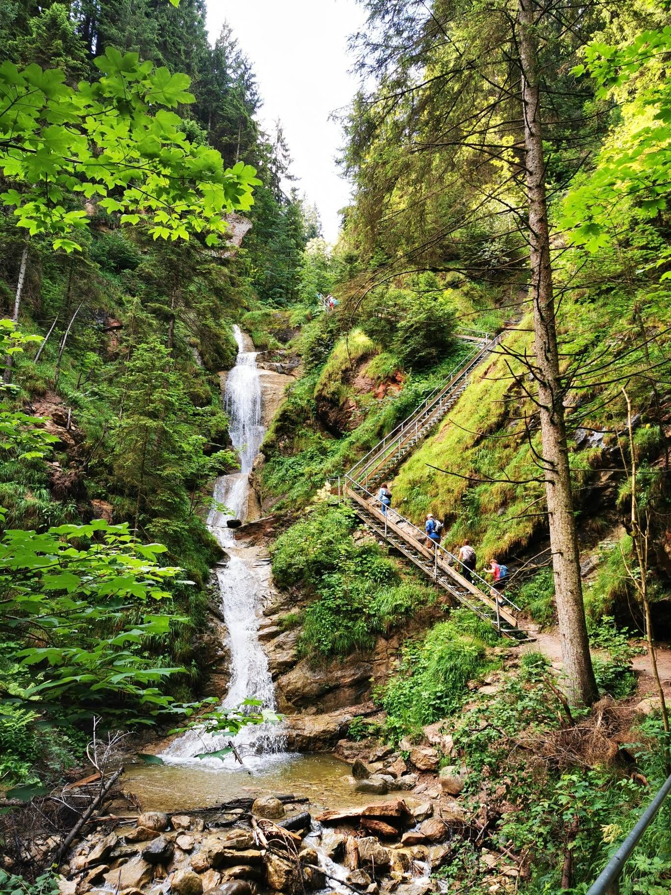
While not directly adjacent to every bus station trail, the Argenbühl region is home to stunning waterfalls that can be incorporated into your hiking plans. Notable examples include the impressive Eistobel Waterfalls and the picturesque Scheidegg Waterfalls, which are popular attractions in the wider area.
What kind of views can I expect on bus-accessible hikes in Argenbühl?
Hikers can expect diverse and often panoramic views. Many trails offer breathtaking vistas over the Allgäu region, with some elevated points providing glimpses of the Alps and Lake Constance. You'll traverse rolling hills, lush meadows, and tranquil forests, ensuring a varied and scenic experience.
Are there any historical sites or castles along bus-accessible routes?
Yes, the region has a rich history. The Ratzenried Castle – Argen Bridge loop from Ratzenried, for instance, takes you past Ratzenried Castle. The wider area also features historic sites like Achberg Castle, offering opportunities to combine nature exploration with cultural insights.
Are the bus-accessible trails in Argenbühl suitable for families?
Many bus-accessible trails in Argenbühl are very family-friendly, featuring gentle gradients and shorter distances. The region offers child-friendly routes, sometimes incorporating playful elements or nature trails to engage younger hikers. Look for routes marked as 'easy' for the best family options.
Can I bring my dog on bus-accessible hikes in Argenbühl?
Generally, dogs are welcome on hiking trails in Argenbühl. However, it's always advisable to keep them on a leash, especially in nature reserves, near livestock, or in crowded areas. Check local regulations for specific bus lines regarding pet transport before your trip.
What kind of terrain can I expect on these bus station hikes?
The terrain around Argenbühl is quite varied. You'll encounter well-maintained paths through forests, open meadows, and rolling hills. While many routes are gentle, some may include moderate ascents and descents, offering a good mix for different preferences. The region's diverse topography ensures a varied hiking experience.
Are there any lakes or water features on bus-accessible hikes?
Yes, Argenbühl is dotted with serene lakes and waterways. The Buchweiher – Natural lake in Allgäu loop from Argenbühl takes you past the beautiful Buchweiher. Other routes might lead you to the Schlosssee or along various streams and rivers that characterize the Westallgäu landscape.
What do other hikers say about the bus-accessible trails in Argenbühl?
The bus-accessible trails in Argenbühl are highly regarded by the komoot community, with an average rating of 4.5 stars from over 16,000 reviews. Hikers frequently praise the region's picturesque landscapes, well-marked paths, and the convenience of accessing beautiful nature directly from public transport stops.
How long do bus-accessible hikes in Argenbühl typically take?
Hike durations vary significantly depending on the route and your pace. Easy routes like the Siggenhöhe Viewpoint – View from Siggener Höhe loop from Argenbühl can be completed in under 2 hours, while moderate trails such as the Eglofs village center – Badwirtschaft Malleichen loop from Eglofs might take 4-5 hours. This guide offers options ranging from short walks to half-day excursions.
Most popular routes around Argenbühl
Most popular attractions around Argenbühl

Get inspired with the komoot mobile app


Explore more
Browse the best Hikes in other regions.
