The best hikes from bus stations around Aulendorf
4.5
(466)
1,922
hikers
68
hikes
Bus station hiking trails around Aulendorf traverse a landscape shaped by rolling hills, green meadows, and extensive forests in the Ravensburg district of Germany. The region features a varied topography, including tranquil moors, picturesque ravines, and several natural lakes. These natural formations, influenced by the Ice Ages, create gently rolling terrain and wooded ridges.
Best bus station hiking trails around Aulendorf
- The most popular bus station hiking route is Aulendorf Train Station – Steeger Lake loop from Aulendorf, a…
Last updated: July 11, 2026
4.5
(23)
95
hikers
4.03km
01:04
40m
40m
Easy hike. Great for any fitness level. Easily-accessible paths. Suitable for all skill levels.
4.4
(25)
70
hikers
6.17km
01:37
50m
50m
Easy hike. Great for any fitness level. Easily-accessible paths. Suitable for all skill levels.

Sign up for free
4.6
(19)
83
hikers
4.62km
01:16
80m
80m
Easy hike. Great for any fitness level. Easily-accessible paths. Suitable for all skill levels.
4.4
(7)
38
hikers
6.79km
01:53
120m
120m
Easy hike. Great for any fitness level. Easily-accessible paths. Suitable for all skill levels.
4.8
(8)
39
hikers
6.29km
01:44
100m
100m
Easy hike. Great for any fitness level. Easily-accessible paths. Suitable for all skill levels.
Get access to more routes and recommendations from other explorers.
Sign up for free
Already have an account?
Our route recommendations are based on thousands of hikes, rides, and runs completed by other people on komoot.
Start today with a free account
Your next adventure awaits.
Login or Signup
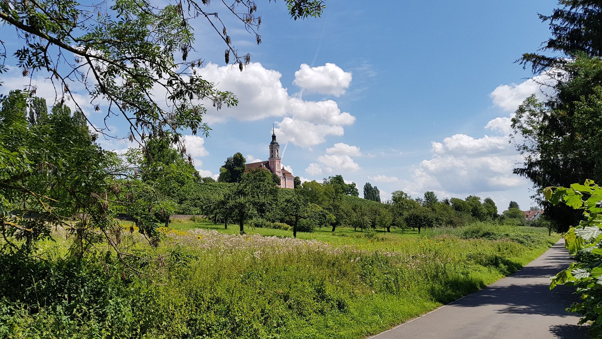
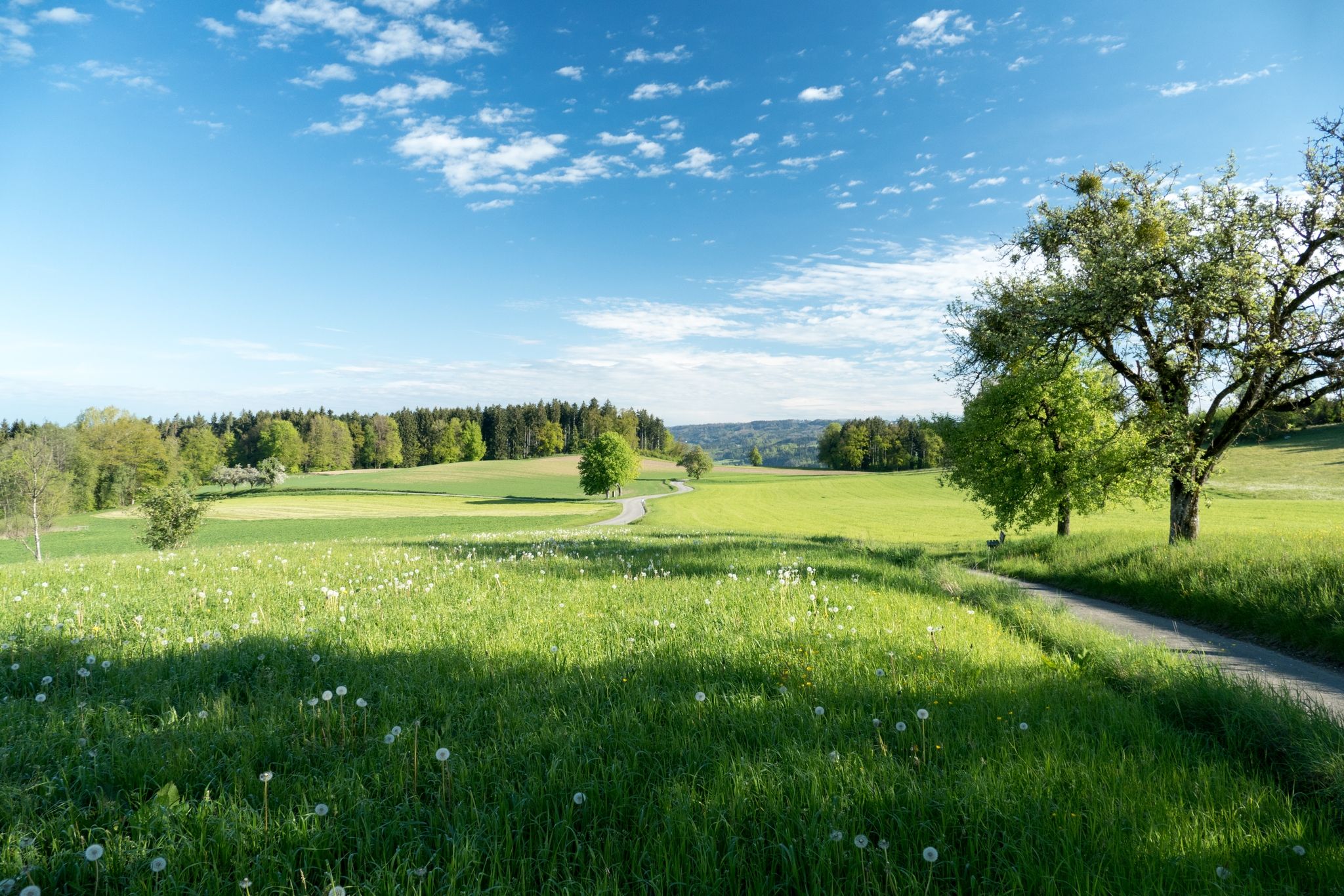
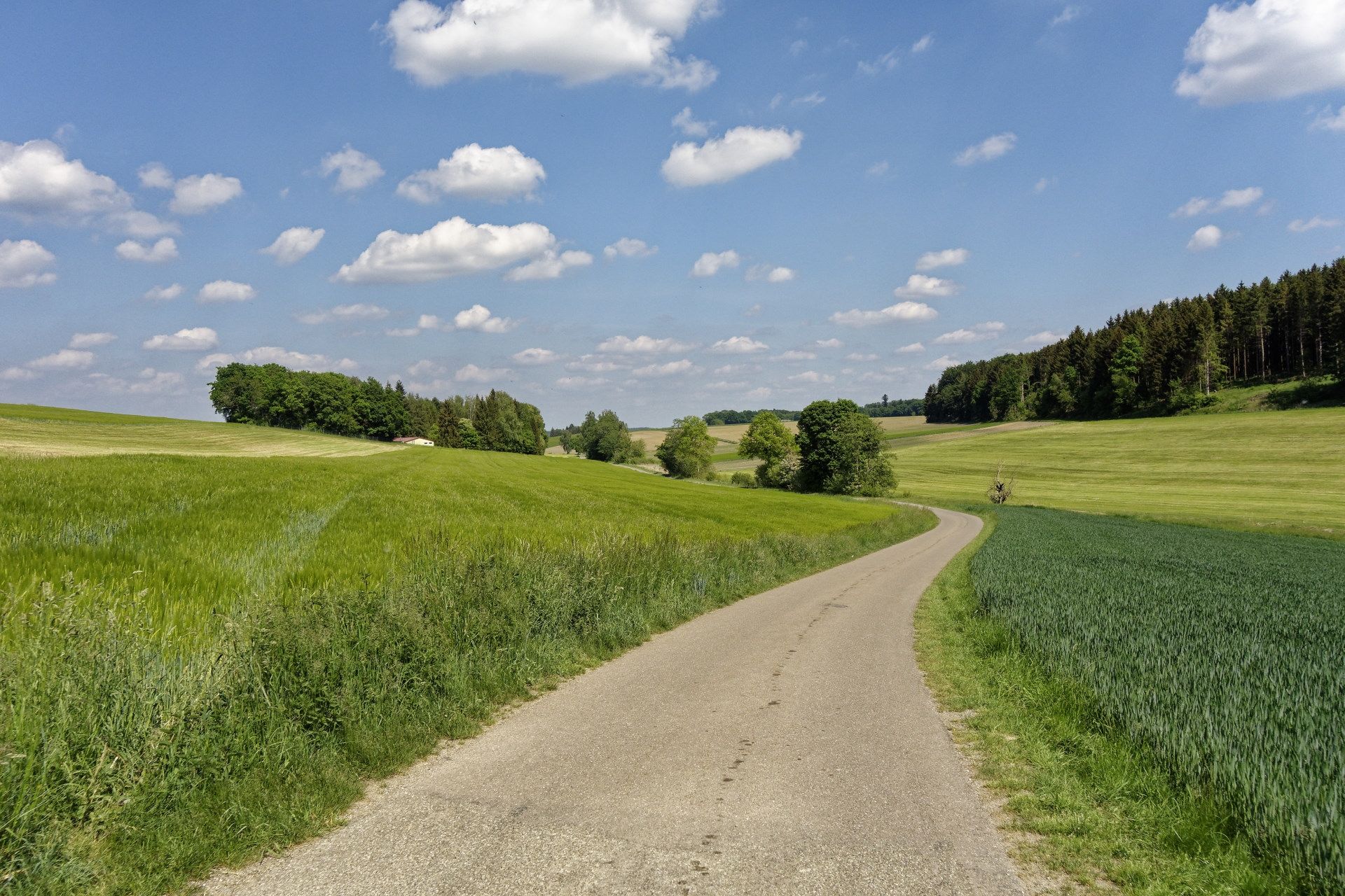
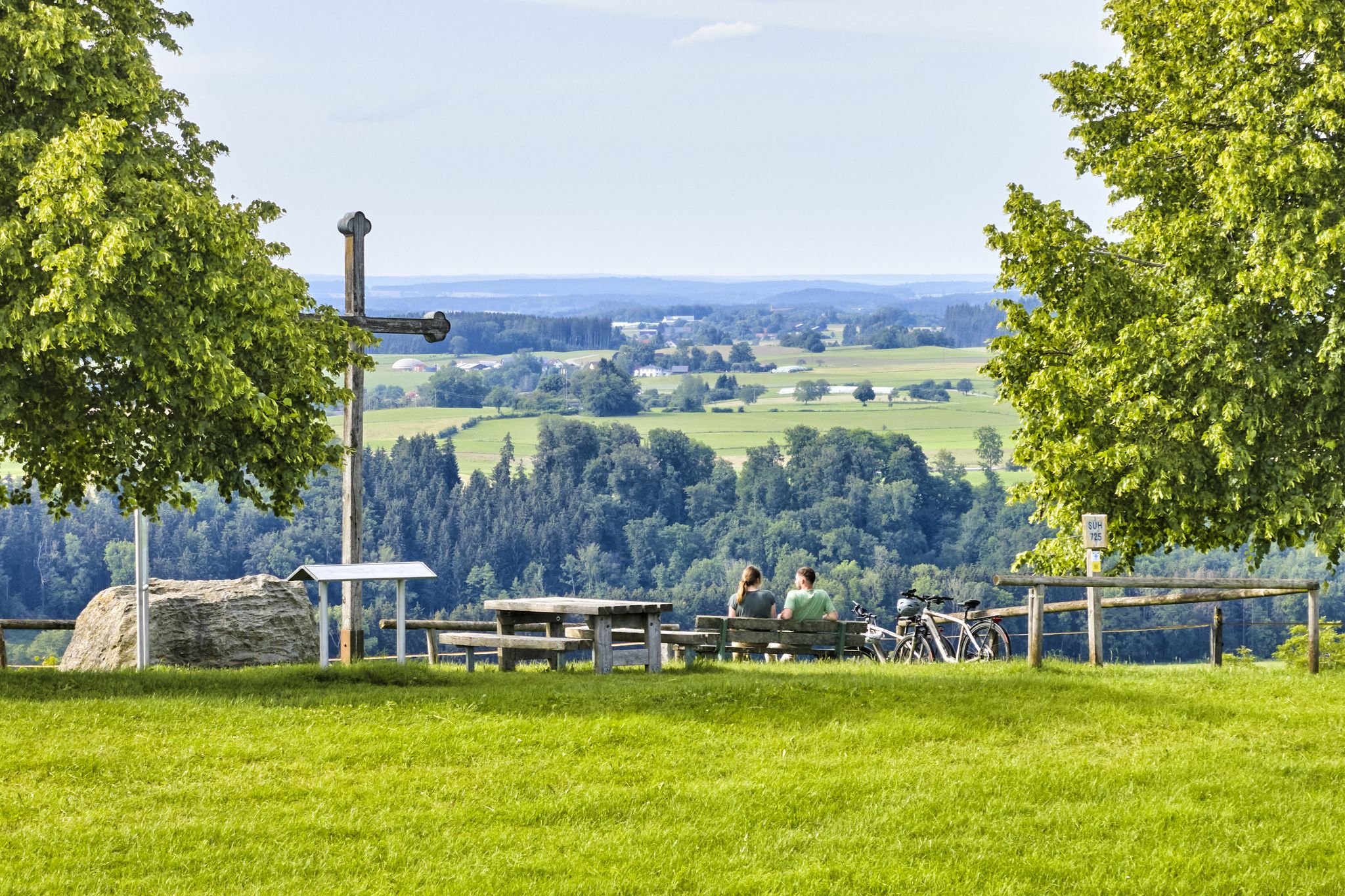
Other adventures around Aulendorf


Tips from the Community

Beautiful landscape, simply fantastic
0
0

beautiful bathing lake with circular hiking trail
0
0
There are many beautiful paths you can take.
0
0
Beautiful hiking trail, easy to walk
0
0
There is currently construction work on the building, but that is not a major problem.
1
0
There are many paths you can hike around the wildlife park.
0
0

Very nice for cycling! Great mini golf course, also nice for just running, lots of animals!
0
0
Frequently Asked Questions
How many bus-accessible hiking trails are available around Aulendorf?
There are over 60 hiking routes around Aulendorf that are easily accessible from bus stations. These trails cater to various preferences, with the majority being easy to moderate in difficulty.
Are there any easy, family-friendly hikes starting from Aulendorf's bus stops?
Yes, Aulendorf offers many easy and family-friendly options. For a pleasant stroll, consider the Aulendorf Train Station – Steeger Lake loop, which is just under 4 km and features a sunlit forest path and a Kneipp basin. The region's trails often have soft surfaces, making them comfortable for all ages.
What natural attractions can I expect to see on hikes from Aulendorf bus stations?
Many trails lead to beautiful natural features. You can explore the serene Häckler Pond or the idyllic Tafel Pond. The region is also characterized by extensive forests, tranquil moors, and picturesque ravines shaped by the Ice Ages.
Are there any circular hiking routes that start and end at a bus station in Aulendorf?
Absolutely. Many routes are designed as loops for convenience. For example, the Hohkreuz Chapel loop from Aulendorf is a popular circular route that offers panoramic views. Another option is the Deer Park – Steeger Lake loop, providing a scenic round trip.
Can I find trails with scenic viewpoints near Aulendorf's bus stops?
Yes, several trails offer stunning vistas. The Forest Path With a View – View of the Alps loop is specifically designed for scenic views. The Hohkreuzkapelle, often called 'Aulendorf's holy mountain,' provides unparalleled panoramic views of the entire Alpine chain on clear days.
What is the best time of year to go hiking from Aulendorf's bus stations?
Aulendorf is great for hiking year-round. Spring and autumn offer pleasant temperatures and vibrant colors, while summer is ideal for enjoying the lakes. Even in winter, the gently rolling terrain and wooded ridges can provide beautiful, accessible walks, though conditions may vary.
Are there any cultural or historical points of interest along these bus-accessible routes?
Yes, the region blends natural beauty with cultural experiences. You might encounter the Pilgrimage Church of Steinhausen or the Durlesbach Station – Swabian Railway Monument. The town itself is part of the Upper Swabian Baroque Route, offering a rich historical context.
What do other hikers say about the bus station trails in Aulendorf?
The komoot community highly rates the hiking experience around Aulendorf, with an average score of approximately 4.5 out of 5 stars from over 400 ratings. Hikers frequently praise the well-maintained paths, the diverse landscapes, and the accessibility of the trails from public transport.
Are there any longer, more challenging hikes accessible by bus from Aulendorf?
While most routes are easy to moderate, some offer a bit more distance and elevation. For instance, the View of the Alps – Hohkreuz Chapel loop covers over 6 km with a moderate elevation gain, providing a good workout while still being easily reachable by bus.
Are dogs allowed on the hiking trails around Aulendorf?
Generally, dogs are welcome on most hiking trails in the Aulendorf region. It's always recommended to keep them on a leash, especially in nature conservation areas or near wildlife, and to clean up after them. The varied terrain, including forests and open meadows, provides a great environment for walks with your canine companion.
What kind of terrain can I expect on Aulendorf's bus-accessible hiking paths?
The terrain around Aulendorf is quite varied, featuring gently rolling hills, extensive forests, and open meadows. Many paths are well-maintained, with some even offering soft surfaces like wood chips, making them comfortable for walking. You'll find a mix of paved and unpaved sections, suitable for most hiking footwear.
Most popular routes around Aulendorf
Most popular attractions around Aulendorf

Get inspired with the komoot mobile app


Explore more
Browse the best Hikes in other regions.
