The best hikes from bus stations around Wangen im Allgäu
4.6
(4219)
17,577
hikers
209
hikes
Bus station hiking trails around Wangen im Allgäu offer access to a diverse landscape of rolling hills, lush meadows, and the scenic Argen River. The region, situated in the Alpine foothills of the Allgäu, features varied terrain suitable for different hiking levels. Notable natural features include the wild Argen Valley and its confluence, providing numerous opportunities for exploration. This area provides many easy bus accessible hikes, making it ideal for exploring the natural beauty via public transport.
Best bus station hiking trails around Wangen im Allgäu
- The most popular bus station hiking route is Historic Manor House Ruin – Argen Bridge loop from Teufelssee, a 5.2 miles (8.3 km) trail that takes 2 hours 13 minutes to complete. This moderate route features a mix of historical points and riverside scenery.
- Another top favourite among local hikers is Bridge over the Argen – Argen Riverside Beach loop from Teufelssee, a moderate 5.4 miles (8.7 km) path. This route offers views of the Argen River and its pebble banks.
- Local hikers also love the Kneipp Basin Allgäu – Argen Pebble Bank loop from Wangen im Allgäu, a 4.7 miles (7.6 km) trail leading through the Argen Valley, often completed in about 1 hour 57 minutes.
- Hiking around Wangen im Allgäu is defined by rolling hills, the Argen River, and lush meadows. The network offers options for different ability levels, from easy strolls to moderate ascents.
- The routes in Wangen im Allgäu are highly rated by the komoot community with an average score of 4.6 stars from over 4000 reviews. More than 17000 hikers have used komoot to explore Wangen im Allgäu's varied terrain.
Last updated: July 14, 2026
4.0
(23)
97
hikers
8.35km
02:14
100m
100m
Moderate hike. Good fitness required. Easily-accessible paths. Suitable for all skill levels.
4.7
(48)
120
hikers
8.74km
02:21
110m
110m
Moderate hike. Good fitness required. Easily-accessible paths. Suitable for all skill levels.

Sign up for free
4.1
(27)
115
hikers
Easy hike. Great for any fitness level. Easily-accessible paths. Suitable for all skill levels.
4.6
(26)
103
hikers
Easy hike. Great for any fitness level. Easily-accessible paths. Suitable for all skill levels.
5.0
(11)
77
hikers
7.41km
01:58
70m
70m
Easy hike. Great for any fitness level. Easily-accessible paths. Suitable for all skill levels.
Get access to more routes and recommendations from other explorers.
Sign up for free
Already have an account?
Our route recommendations are based on thousands of hikes, rides, and runs completed by other people on komoot.
Start today with a free account
Your next adventure awaits.
Login or Signup
Popular around Wangen im Allgäu
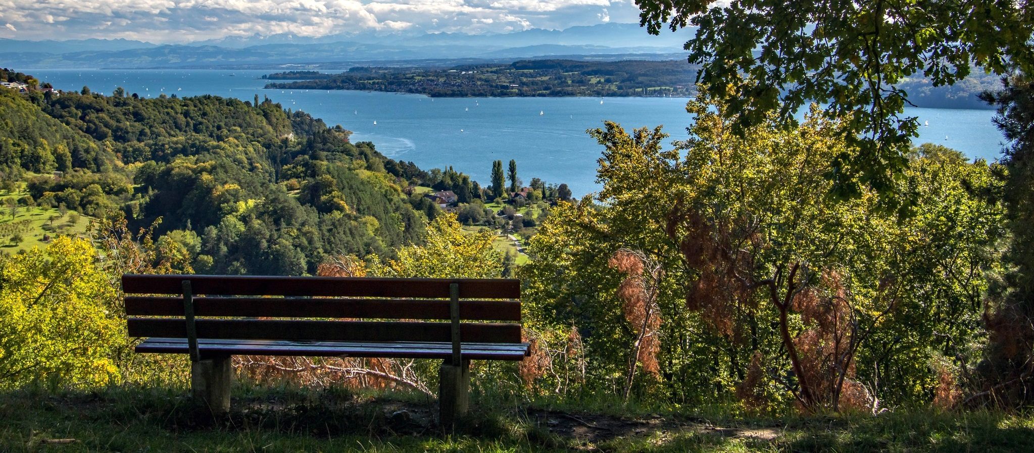
Heuberg-Allgäu Trail – From the Swabian Alb to Alpine foothills
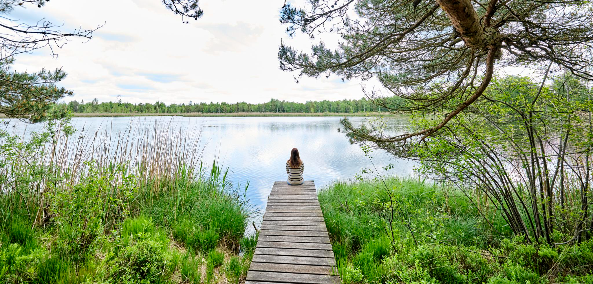
Nature, city, Baroque – short breaks in Upper Swabia-Allgäu
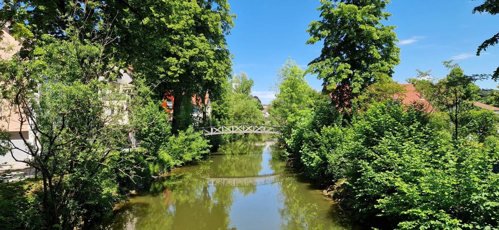
Listen and discover – audio tours to Allgäu's cultural treasures
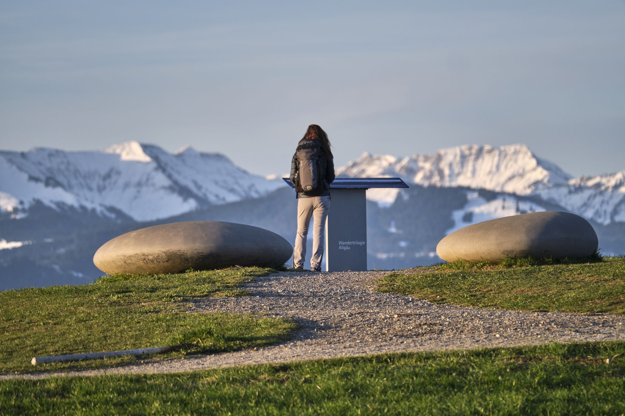
Experience history – hike the Trilogy Tours in Allgäu
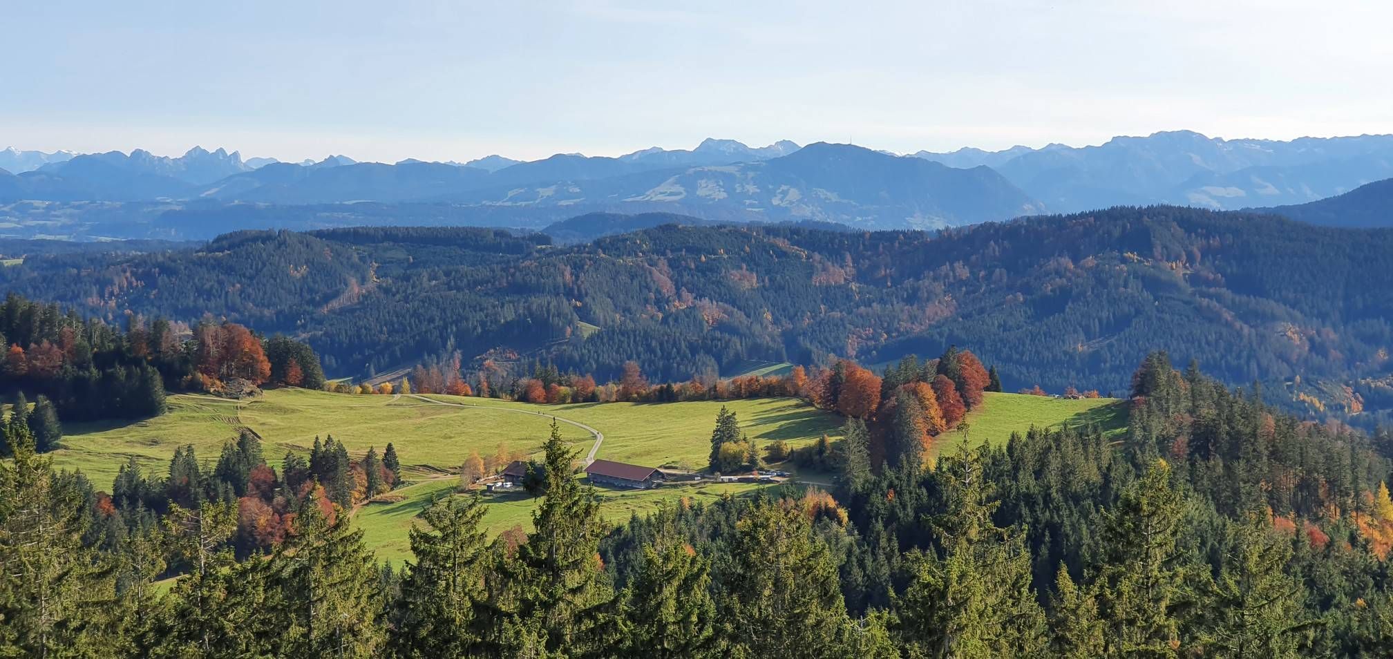
Alpine foothills on the Meadow Walkers’ Route – Allgäu hiking trilogy
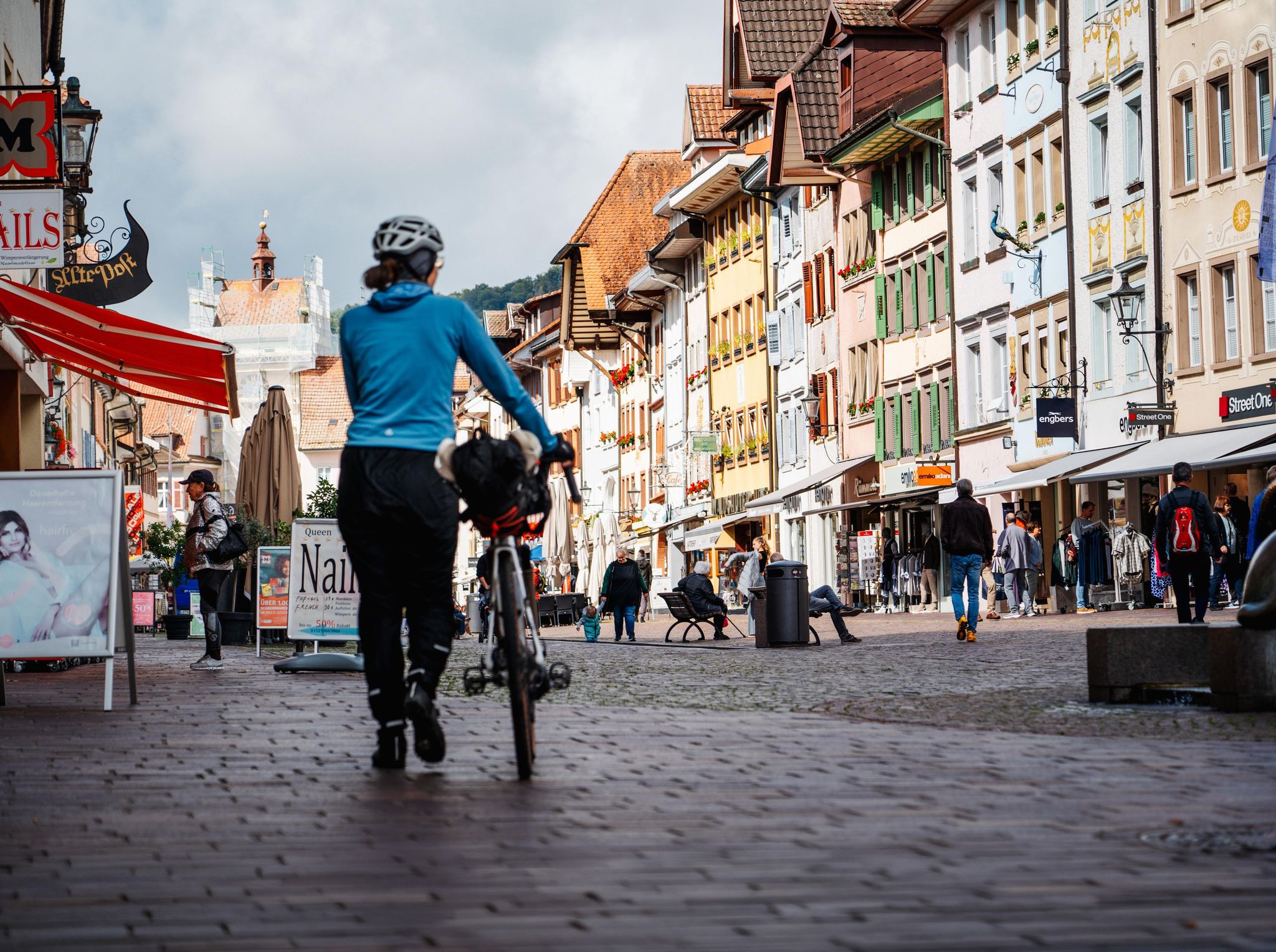
Adventure on two wheels – overnight cycling trips in Baden-Württemberg
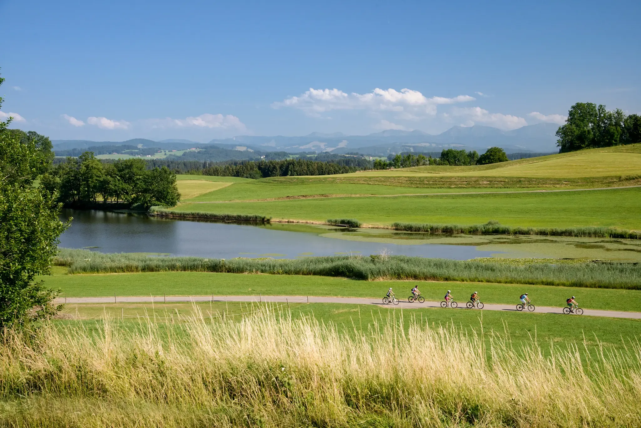
Water as a constant companion: the DONAU-BODENSEE cycle path
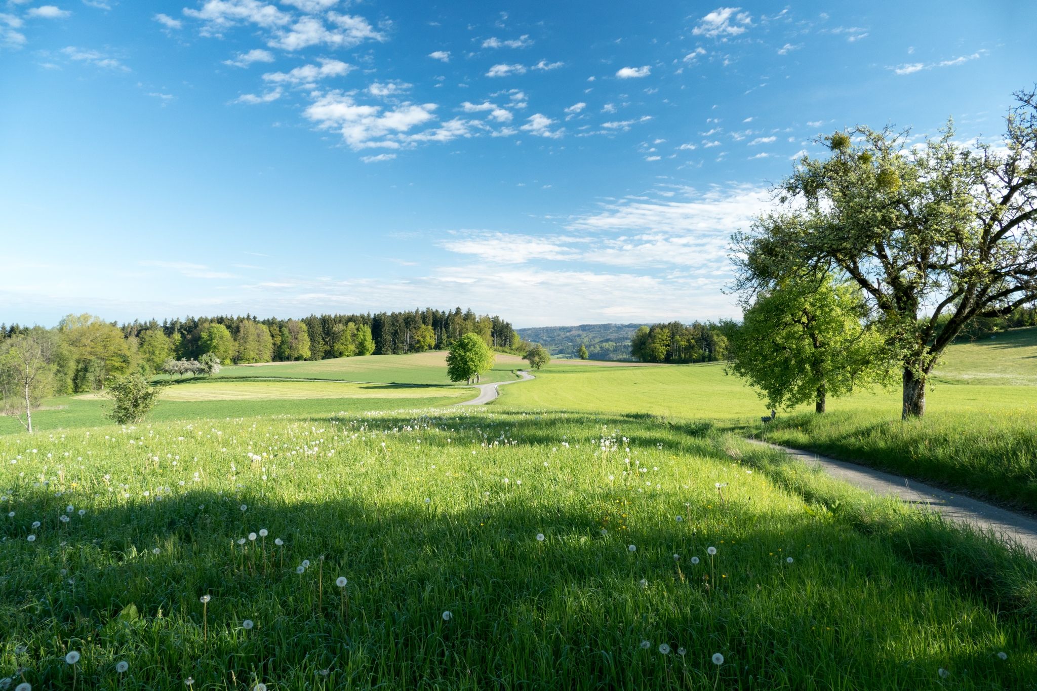
Hills, RAISED BOGS and HIGH BAROQUE - the Oberschwaben-Allgäu-Radweg
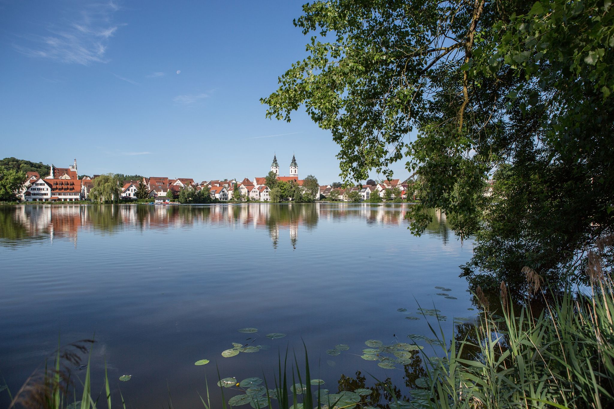
Discover Upper Swabia — Donau-Bodensee Cycle Route in 4 stages
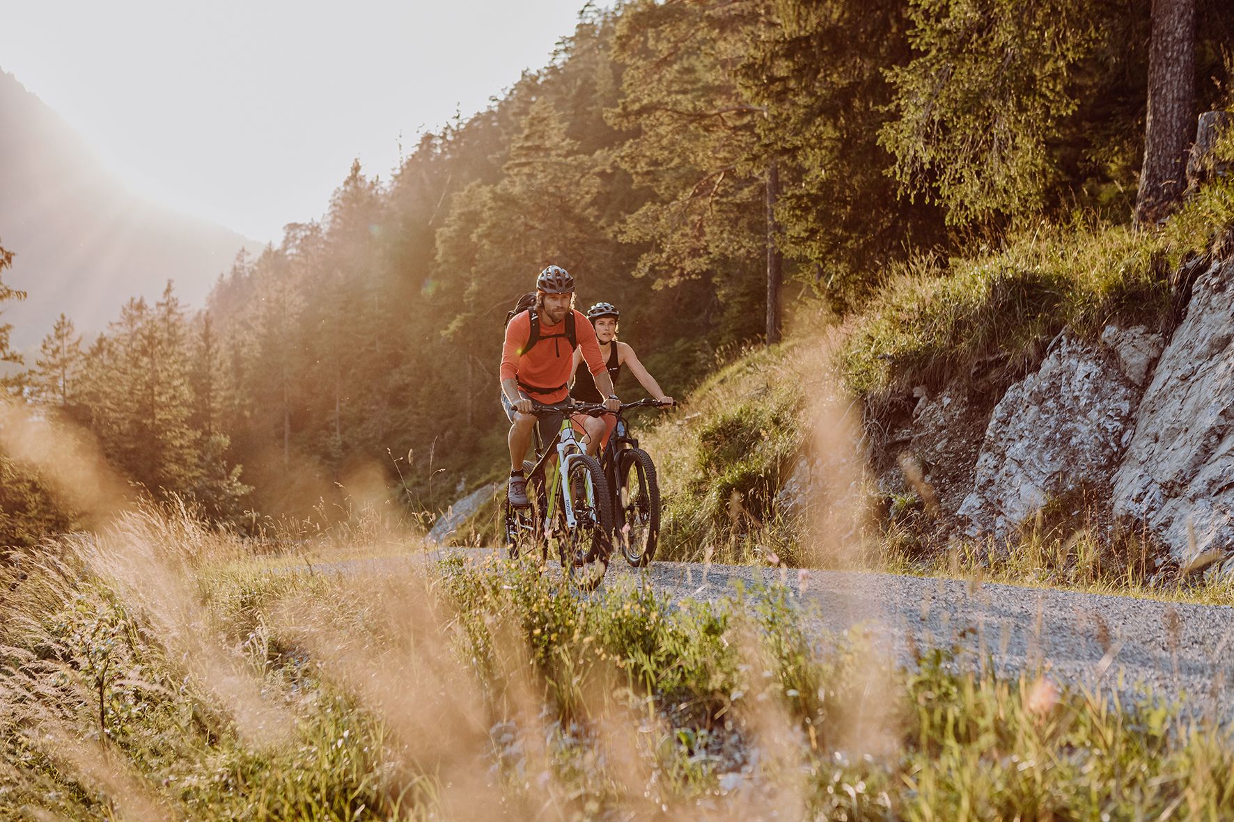
Alpine panorama and mountain huts – nature biking in Germany’s Allgäu
Other adventures around Wangen im Allgäu


Tips from the Community

A fish ladder has been in operation at the Schomburg hydroelectric power plant on the Lower Argen River (Wangen im Allgäu) since September 2025. It was constructed as part of ecological measures to improve the river's connectivity. The facility provides fish passage both upstream and downstream at the power plant to ensure the Argen River remains passable for fish. These measures are related to the operation of the Schomburg small-scale power plant, which has undergone improved water flow and ecological adjustments through modernized technology (new turbines, control systems).
2
0

Perfect shelter for a standing breakfast in the rain 😁
0
0

Near the confluence of the Argen rivers, this bridge offers a beautiful view.
0
0
Sometimes wild, sometimes quiet, there are wonderful passages here 🥰
0
0
From the bridge you have a beautiful view of the confluence of the Argen.
0
0
There are several bridges in this section, so you can take some great tours.
1
0
It's a great place to watch the currents converge here. There's also a great shelter with a fire pit.
0
0

Even after the garden show, it remains a wonderful area for running, relaxing, and picnicking. There are several playgrounds available.
1
0
Frequently Asked Questions
How many bus station hiking trails are available in Wangen im Allgäu?
There are over 200 hiking routes accessible from bus stations in Wangen im Allgäu, offering a wide variety of experiences. You'll find 129 easy routes, 83 moderate, and a few more challenging options.
What kind of terrain can I expect on bus-accessible hikes in Wangen im Allgäu?
The region around Wangen im Allgäu features diverse terrain, from rolling hills and lush meadows to the wild and romantic Argen River valley. Many trails follow riverbanks, traverse open countryside, or lead through forested areas, characteristic of the Alpine foothills.
Are there any circular routes accessible from bus stations?
Yes, many bus-accessible routes in Wangen im Allgäu are circular, allowing you to start and end your hike at the same bus stop. An example is the easy Kneipp Basin Allgäu – Argen Pebble Bank loop from Wangen im Allgäu, which is about 7.5 km long.
What natural attractions can I see along these bus-accessible trails?
Many trails offer access to beautiful natural features. You can explore the Scheidegg Gorge with Waterfalls, visit the impressive Scheidegg Waterfalls, or walk along the Schwarzbächle Stream in Lauratal. The confluence of the Upper and Lower Argen is also a notable spot.
Are there easy hikes suitable for families or beginners?
Absolutely. Wangen im Allgäu offers numerous easy bus-accessible hikes perfect for families and beginners. The Chapel of Christ's Rest – Argen River at Schomburg loop from Ebersberger Weiher is an easy 7.3 km route, and the Karsee Lake – Strandbad Karsee loop from Karbachmoos is a shorter, easy 5.2 km option.
Can I find places to eat or rest along the bus station hiking trails?
Yes, some routes pass by refreshment stops and huts. For instance, you might encounter the Fesslerhof Refreshment Stop & Butcher or the Haldenhof, offering opportunities for a break and a meal.
What do other hikers enjoy most about hiking in Wangen im Allgäu?
The area is highly rated by the komoot community, with an average score of 4.6 stars from over 4,000 ratings. Reviewers often praise the diverse and picturesque landscape, the well-maintained trails, and the accessibility of many routes via public transport, making it easy to explore the region's natural beauty.
Are there any moderate difficulty hikes accessible by bus?
Yes, there are 83 moderate routes available. For example, the Historic Manor House Ruin – Argen Bridge loop from Teufelssee is a moderate 8.3 km hike, and the Bridge over the Argen – Argen Riverside Beach loop from Teufelssee offers another moderate option at 8.7 km.
What are the best seasons for bus-accessible hikes in Wangen im Allgäu?
Spring and autumn are particularly beautiful, with vibrant meadows and colorful foliage. Summer offers pleasant temperatures for hiking, and even winter can be enjoyable for walks, especially on cleared paths, allowing you to experience the serene, snow-dusted landscape.
Are there viewpoints or scenic spots along the bus-accessible trails?
Many trails offer rewarding views of the Allgäu landscape. Some routes provide glimpses of the distant Alps or even lead to spots with panoramic views, such as the Fesslerhof – View of Lake Constance and Lindau, allowing you to appreciate the region's expansive beauty.
Most popular routes around Wangen im Allgäu
Most popular attractions around Wangen im Allgäu

Get inspired with the komoot mobile app


Explore more
Browse the best Hikes in other regions.
