The best hikes from bus stations around Vacha
4.6
(5822)
18,725
hikers
50
hikes
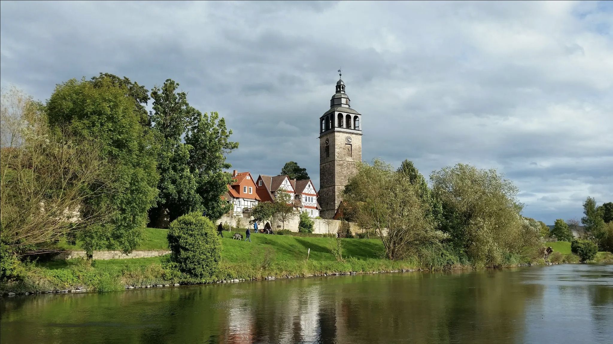
Hiking around Vacha offers access to the diverse landscapes of the Rhön Mountains, a UNESCO Biosphere Reserve characterized by ancient volcanic activity. The region features distinctive "Kuppenrhön" hills, basalt cliffs, and the scenic Werra River valley. Hikers can explore woodless hills, valleys, and moors, providing varied terrain for outdoor activities.
Best bus station hiking trails around Vacha
- The most popular bus station hiking route is Basalt cliff at Öchsenberg – Öchsenberg Weather Station loop from Völkershausen, a 4.7 miles…
Last updated: July 11, 2026
4.9
(31)
96
hikers
Moderate hike. Good fitness required. Easily-accessible paths. Suitable for all skill levels.
4.9
(20)
59
hikers
8.51km
02:41
360m
360m
Moderate hike. Good fitness required. Easily-accessible paths. Suitable for all skill levels.

Sign up for free
4.5
(19)
49
hikers
Easy hike. Great for any fitness level. Easily-accessible paths. Suitable for all skill levels.
4.8
(24)
82
hikers
14.4km
04:15
430m
430m
Moderate hike. Good fitness required. Easily-accessible paths. Suitable for all skill levels.
5.0
(19)
32
hikers
11.1km
03:20
350m
350m
Moderate hike. Good fitness required. Easily-accessible paths. Suitable for all skill levels.
Get access to more routes and recommendations from other explorers.
Sign up for free
Already have an account?
Our route recommendations are based on thousands of hikes, rides, and runs completed by other people on komoot.
Start today with a free account
Your next adventure awaits.
Login or Signup
Popular around Vacha
Other adventures around Vacha

Tips from the Community

Stairs to the summit and cross, very nice hike
0
0

We were very impressed; it was compensation for the gravel road torture. 🤭🙄 A nice stamping station.
7
0
When will someone clean this up? 🤣 No, just leave everything as it is. 🤘😎
8
0
It's crazy how powerful volcanoes are, it's interesting.
9
0
What fun, says Claudi. The thing is 😎🤘
8
0
We were lucky that we got an individual guidance and instruction with the javelin, Thomas Thank you that was 😎👌
5
0
A 😎🤘 rest and party place👌Röhnclub very 😎🤘
7
0
Frequently Asked Questions
How many bus-accessible hiking trails are available around Vacha?
There are over 45 hiking trails around Vacha that are easily accessible by bus. These routes cater to various fitness levels, with a good mix of easy, moderate, and challenging options.
What kind of landscapes can I expect on bus-accessible hikes near Vacha?
Hikes around Vacha, situated at the edge of the Rhön Mountains (a UNESCO Biosphere Reserve), offer diverse landscapes. You'll encounter unique volcanic terrain with characteristic 'Kuppenrhön' hills, impressive basalt columns, and the scenic Werra River Valley. Expect to traverse woodless hills, valleys, and moors, showcasing the rich natural beauty of the region.
Are there easy hiking trails accessible by bus from Vacha?
Yes, there are 14 easy hiking trails accessible by bus around Vacha. A great option for a relaxed walk is the Völkershäuser Grund – St. Anne's Church Ruins loop from Vacha, which is just over 5 km long and features minimal elevation gain.
Are there any circular hiking routes that start and end at a bus station in Vacha?
Many of the bus-accessible routes around Vacha are circular, allowing you to return to your starting point without needing additional transport. For example, the Vacha Border Tower Memorial – Werrabrücke (Bridge of Unity) loop from Vacha is a moderate 8 km circular trail that explores historical sites.
Can I find trails that offer great views or lead to summits?
Absolutely. The Rhön Mountains are known for their panoramic views. Many trails lead to prominent points like the Öchsenberg Summit and Celtic Cross, which offers expansive vistas. The Basalt cliff at Öchsenberg – Öchsenberg Weather Station loop from Völkershausen is a moderate route that takes you to these scenic spots.
Are there historical sites or landmarks to see on these trails?
Vacha's hiking trails often combine natural beauty with rich history. You can explore the Dreienburg Ruins or the historic Geisa Castle. The Vacha Border Tower Memorial – Werrabrücke (Bridge of Unity) loop from Vacha specifically highlights significant historical points.
Are the bus-accessible hiking trails around Vacha suitable for families?
Yes, several trails are well-suited for families. The region offers routes with varying lengths and difficulties. Look for the 'easy' rated trails, which are generally shorter and have less elevation gain, making them enjoyable for all ages. The 'Vietche im Töpfche' Family Hiking Route, starting from Vacha's historic market square, is a popular local option.
Are dogs allowed on the hiking trails accessible by bus from Vacha?
Generally, dogs are welcome on hiking trails in the Rhön Mountains, but it's always best to keep them on a leash, especially in nature reserves or near livestock. Ensure you carry water for your dog and clean up after them. Specific restrictions might apply in certain protected areas, so always check local signage.
What is the best time of year for bus-accessible hikes in Vacha?
The spring, summer, and autumn months (April to October) are ideal for hiking in Vacha. Spring brings blooming wildflowers, summer offers lush green landscapes, and autumn provides stunning foliage. While winter hiking is possible, be prepared for colder temperatures and potentially snowy or icy conditions, especially on higher elevations.
What do other hikers say about the trails around Vacha?
The hiking trails around Vacha are highly rated by the komoot community, with an average score of 4.6 stars from over 5,300 reviews. Hikers often praise the well-maintained paths, the diverse scenery ranging from volcanic hills to river valleys, and the blend of natural beauty with historical points of interest.
Are there any trails that feature the unique basalt cliffs of the Rhön Mountains?
Yes, the region is known for its basalt formations. The Basalt cliff at Öchsenberg – Sünna Celtic Village loop from Wölferbütt is a moderate, longer route that specifically incorporates the impressive basalt cliff at Öchsenberg, offering a great opportunity to experience this geological feature.
Most popular routes around Vacha
Most popular attractions around Vacha

Get inspired with the komoot mobile app


Explore more
Browse the best Hikes in other regions.
